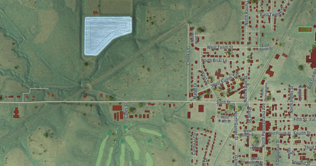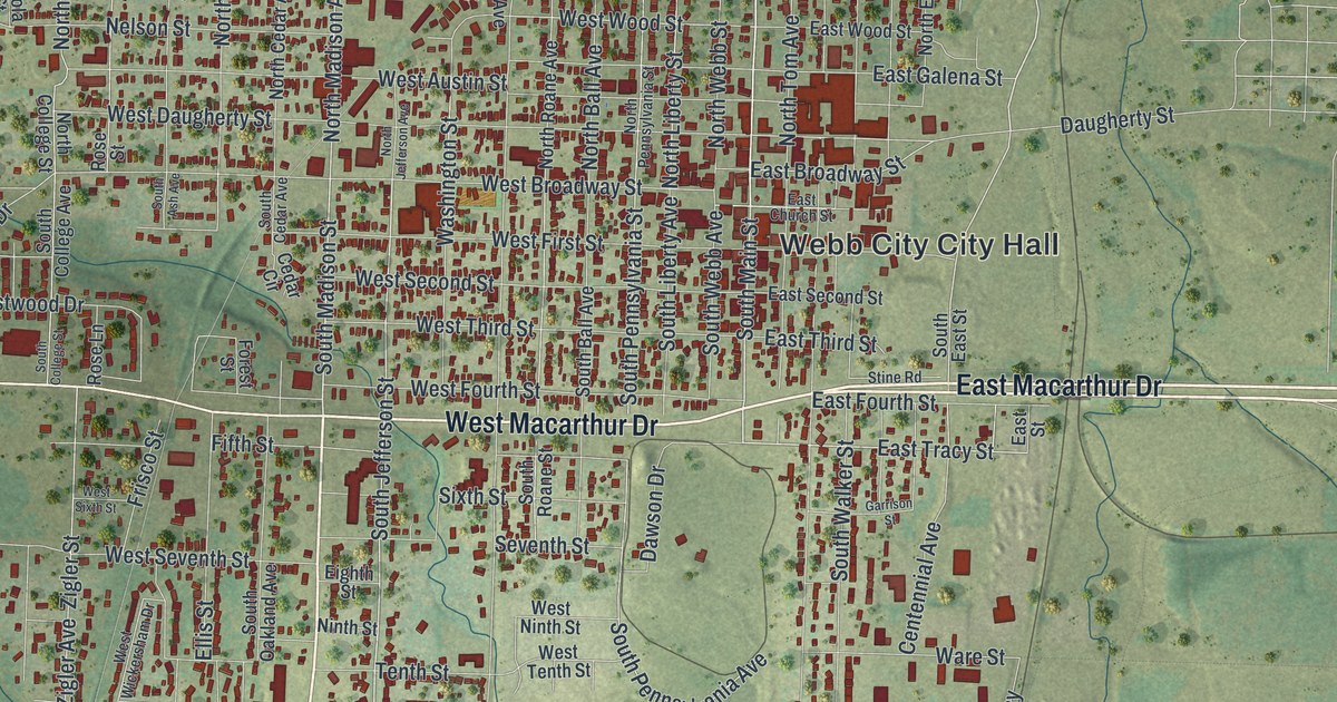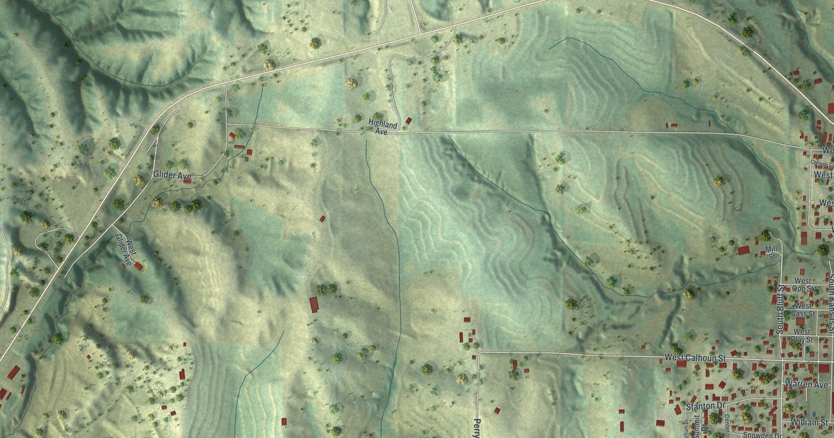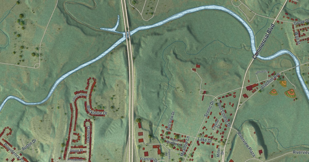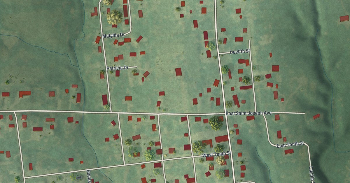
If you grew up in Stewartsville, look for your old block on this print. It's a modern aerial view of Stewartsville in DeKalb County, Missouri, built from public terrain, street, and building data, with a vintage feel. Red buildings line the street grid, with green fields and shaded hills around town.
Main Street and Stewartsville's Past
On this map you'll find Main Street, West Saint Joseph Avenue, East Saint Joseph Avenue, West Railroad Avenue, Park Avenue, Washington Street, Buchanan Street, Clinton Street, Euclid Street, Hill Street, and more. Each red shape is a building, so zoom in on the preview and look for yours.
Stewartsville has a place in DeKalb County's Civil War history. Goodspeed's 1888 county history records a death here in the summer of 1861. Malcolm McDonald, described as a Southern man, died at Stewartsville. The account calls his death the county's first bloodshed caused by the war. It's a short entry, but it puts Stewartsville in the county's own account of how the war reached DeKalb County.
Stewartsville for Your Wall
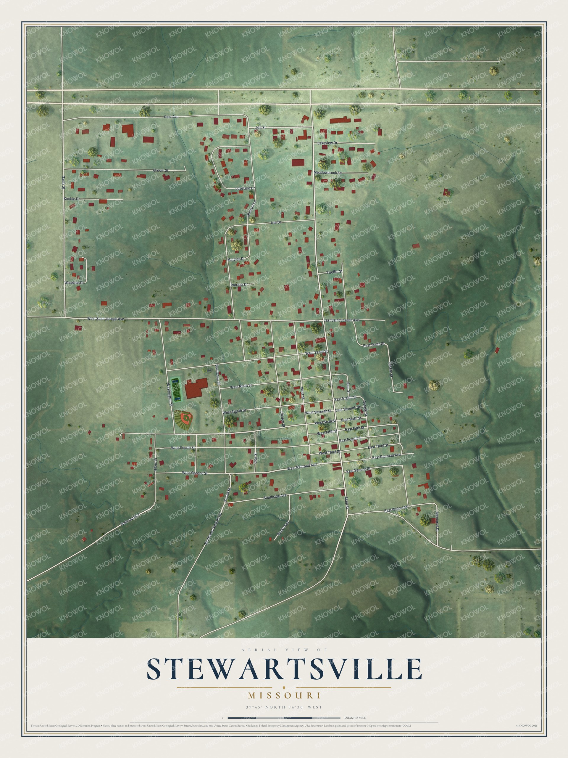
Created by KNOWOL in 2026, the print pairs soft green terrain with red buildings and pale roads. A cream border surrounds the view. The title panel reads AERIAL VIEW OF, STEWARTSVILLE, MISSOURI, with 39°45' NORTH 94°30' WEST below.
Hang it in a living room, office, or entryway to keep home close. It's a gift for someone who grew up near Main Street and moved away. Open the preview to take a closer look at the blocks you know. See sizes and frames for the Stewartsville map.