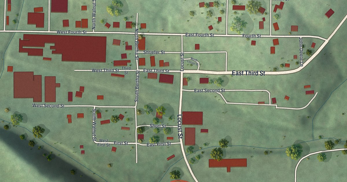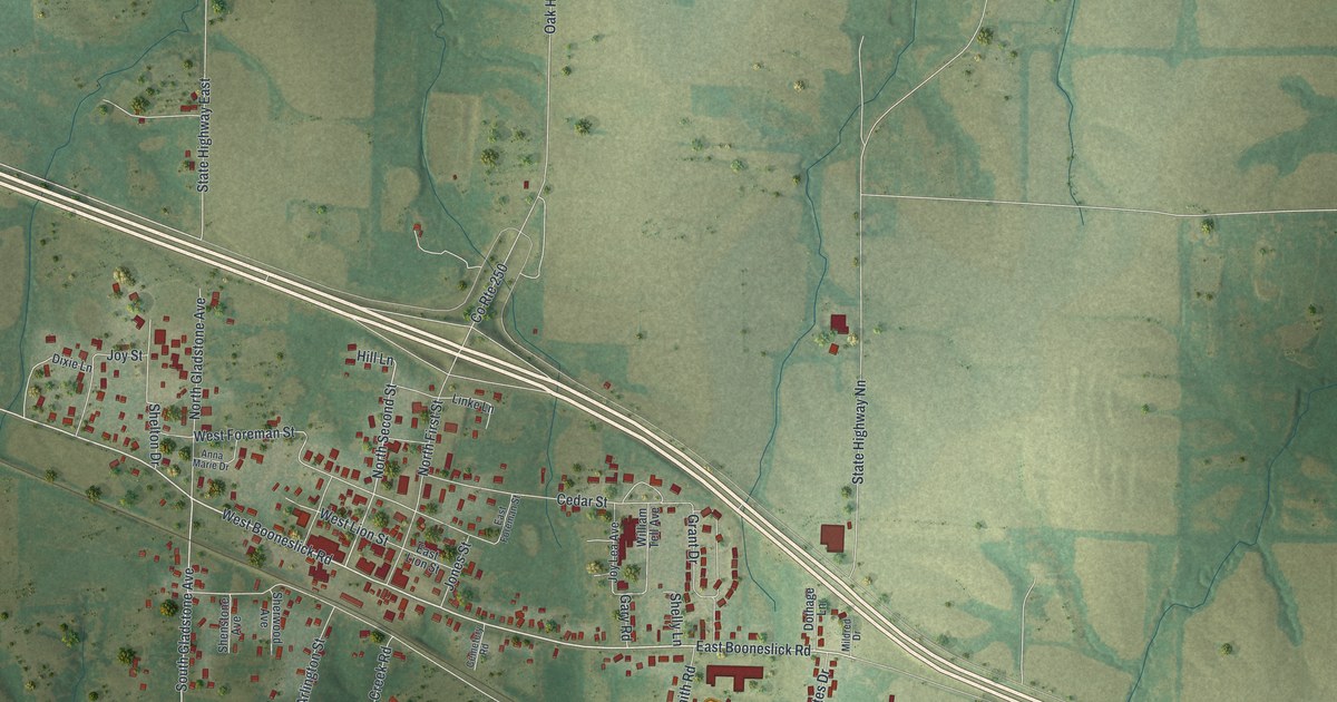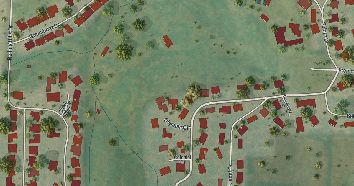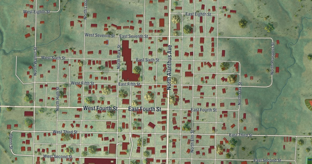
If you grew up in Stanberry, or you still have family on one of its numbered streets, this map is for you. It's a modern aerial view of Stanberry in Gentry County, Missouri, built from modern data and given a soft, vintage look. You'll see the town's homes and shops as small red shapes, set in a tidy grid around North Alanthus Avenue. City Park sits near the middle of town. Out east, near Public Drive, there are ball diamonds and a small blue pond. Green farm hills and winding creek valleys wrap around the whole town.
North Alanthus Avenue, East Fourth Street and City Park
On this map you'll find North Alanthus Avenue, East Main Street, East Fourth Street, West Fourth Street, City Park, Railroad Street, Chicago Street, Myrtle Street, North Walnut Street, High Street, Public Drive, Pineview Drive, Golf View Lane, Wildcat Creek Road, Mount Pleasant Road, and more. Each red shape is a building, so zoom in on the preview and look for yours.
Stanberry's stores and shops in 1922
A 1922 book, the History of Daviess and Gentry Counties, gives a clear picture of Stanberry's business life. It counts five grocery stores, three dry goods stores and three clothing stores. It adds three drug stores, two hardware stores, two hotels and three restaurants. The town also had one elevator and one meal and feed mill. The Commercial Cable Manufacturing Company worked here too, with several traveling salesmen on the road. All of it in one Gentry County town.
The Advent Publishing House in Stanberry
The same book names one more business. It says the Advent Publishing House "is established in Stanberry." It calls it important and valuable among the city's assets. Today the map shows the Stanberry where those shops and that publishing house did business. You can trace its main streets and its numbered streets, from East First Street to East Eleventh Street.
Keep Stanberry and City Park close
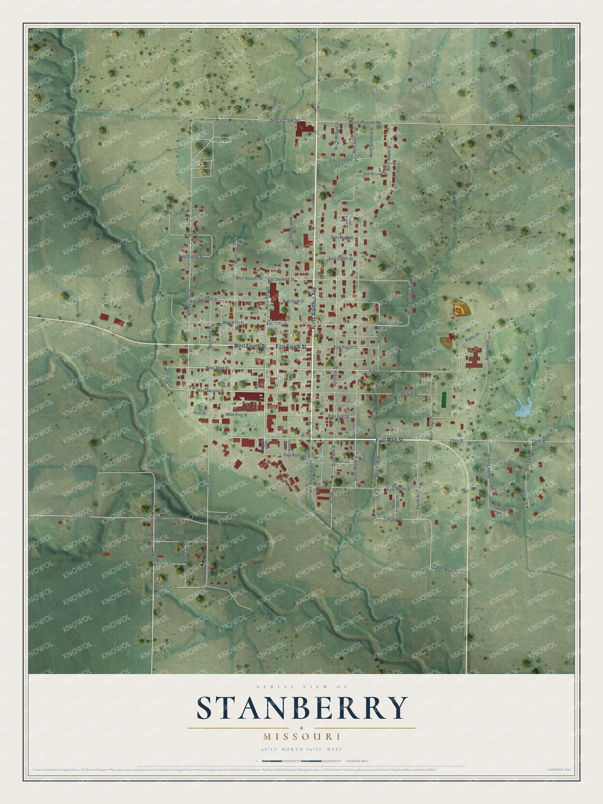
Created by KNOWOL in 2026. The print shows Stanberry from above in soft greens and blues, with red buildings, pale streets and shaded hills. The title panel reads "Aerial View of Stanberry, Missouri" with the coordinates 40°13' North 94°32' West.
It fits well in a living room, a hallway or a home office. It's a thoughtful gift for a Stanberry graduate, a family that's moved away, or anyone who knows City Park. Open the preview and find your own street. See sizes and frames for the Stanberry map.