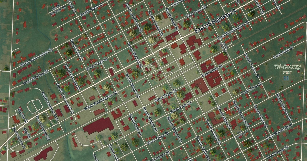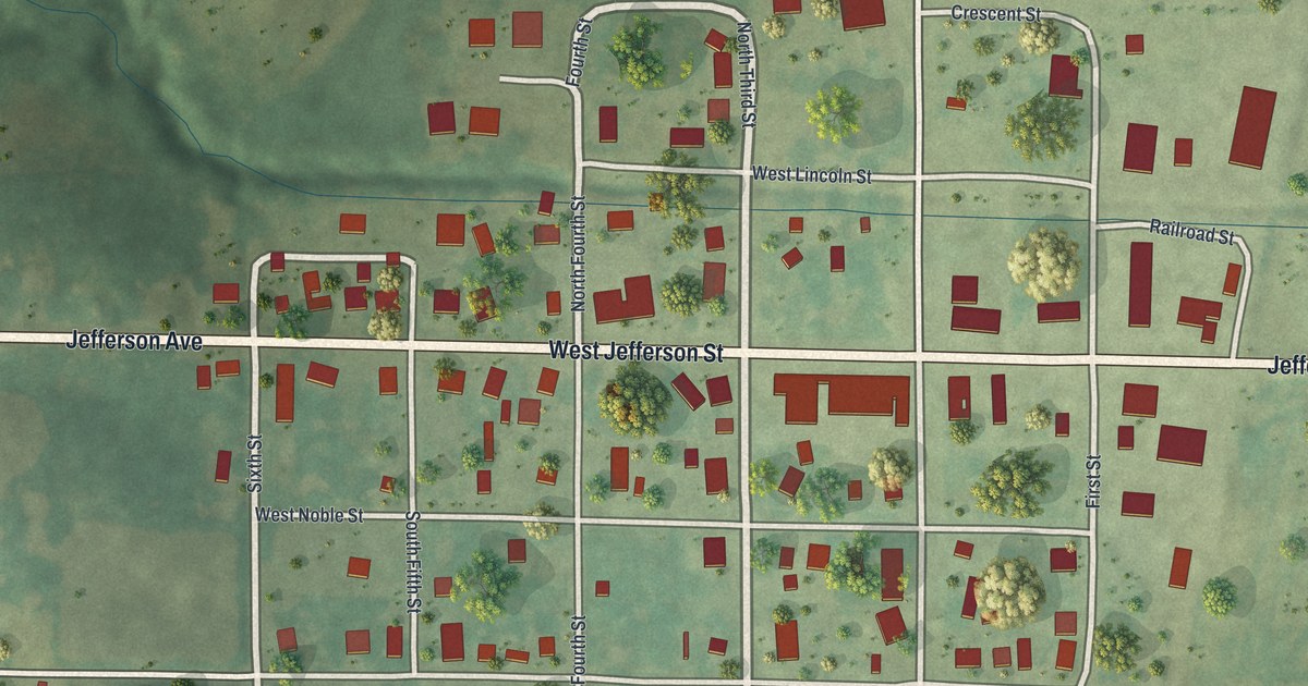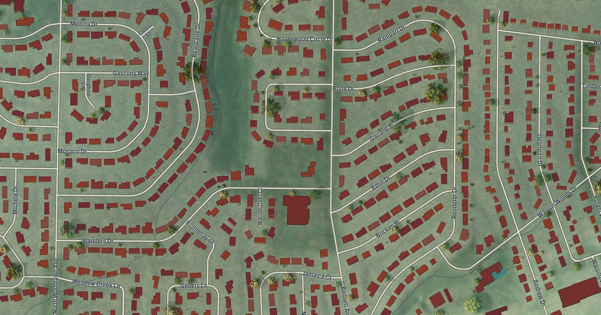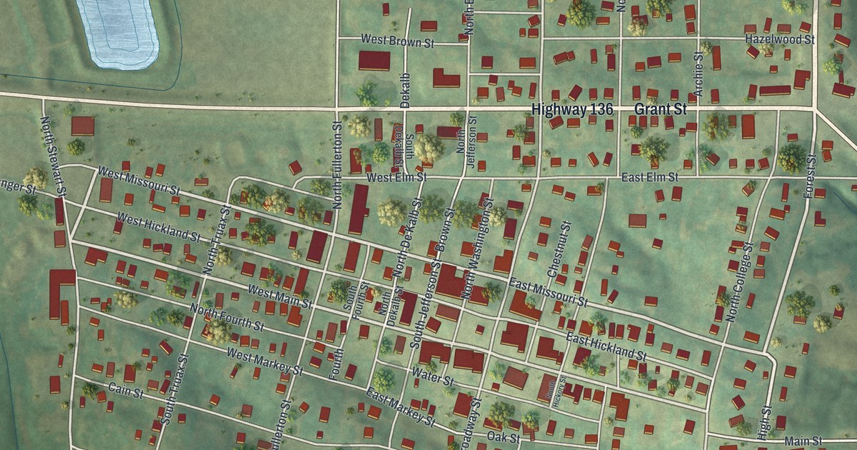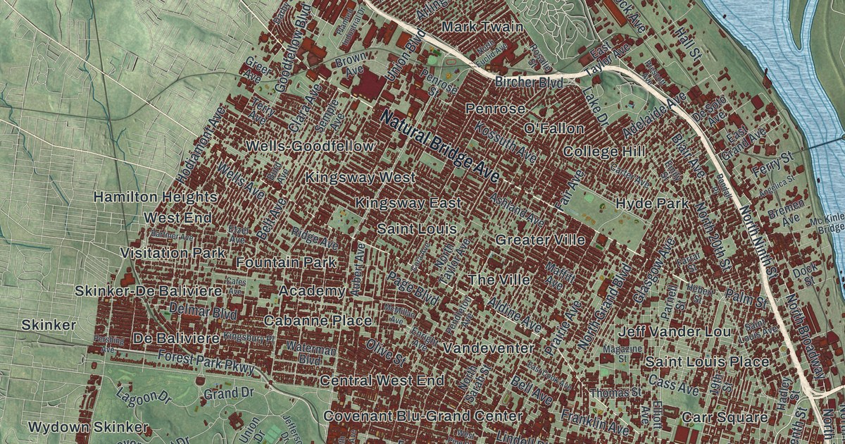
If you grew up here, from The Hill to Soulard to North Pointe, this map puts the whole city on one wall. This modern aerial view, made from modern data with a vintage feel, shows St. Louis, Missouri. St. Louis is an independent city and its own county. That county is called St. Louis city. Red buildings fill the sheet, a wide blue river runs down the right side, and soft green hills roll out around it. More than 60 neighborhood and place names are printed on the sheet.
St. Louis streets and neighborhoods on the map
On this map you'll find Gravois Avenue, South Grand Boulevard, South Kingshighway Boulevard, Delmar Boulevard, Lindell Boulevard, Natural Bridge Avenue, Chouteau Avenue, Eads Bridge, The Hill, Soulard, Dutchtown, Carondelet, Lafayette Square, Central West End, Lacledes Landing, and more. Each red shape is a building, so zoom in on the preview and look for yours.
St. Louis and the Baby Tooth Survey
In 1958, a group of St. Louis scientists and neighbors started something new. They were worried about fallout from bomb tests. The story is told in the Missouri Encyclopedia from the State Historical Society of Missouri. A bit of fallout called strontium-90 got into cow's milk. Kids drank that milk while their baby teeth were still forming. So if you could gather enough baby teeth, you could measure how much fallout kids took in. That was the idea behind the Baby Tooth Survey.
Louise Zibold Reiss, a doctor, led the work. Volunteers held "Tooth Roundups" in St. Louis schools. The teeth came from children born in the 1950s and 1960s all over the St. Louis area. Each child who gave a tooth got a certificate and a button. It read "I Gave My Tooth to Science." In 1960, Newsweek wrote, "Any child with a wobbly baby tooth is a person of consequence in St. Louis, Mo." By 1969, more than three hundred thousand teeth had come in. The results showed more fallout in kids born during the years of open-air bomb tests. In 1963, the survey's news came just before the Nuclear Test Ban Treaty passed.
Keep St. Louis close, from Carondelet to North Riverfront

Created by KNOWOL in 2026, the print shows St. Louis from above, with red buildings, pale streets, blue water and green hills shaded to show the shape of the land. The title panel reads AERIAL VIEW OF ST. LOUIS, MISSOURI, with 38°38' NORTH 90°12' WEST printed below.
It suits a living room, a home office or the hallway by the front door. It's a good gift for a family from The Hill, or for someone who grew up near Tower Grove East and moved away. Open the preview and find your neighborhood first. See sizes and frames for the St. Louis map.