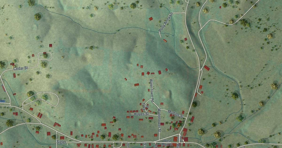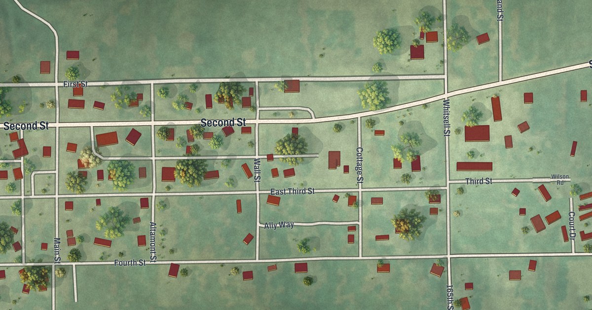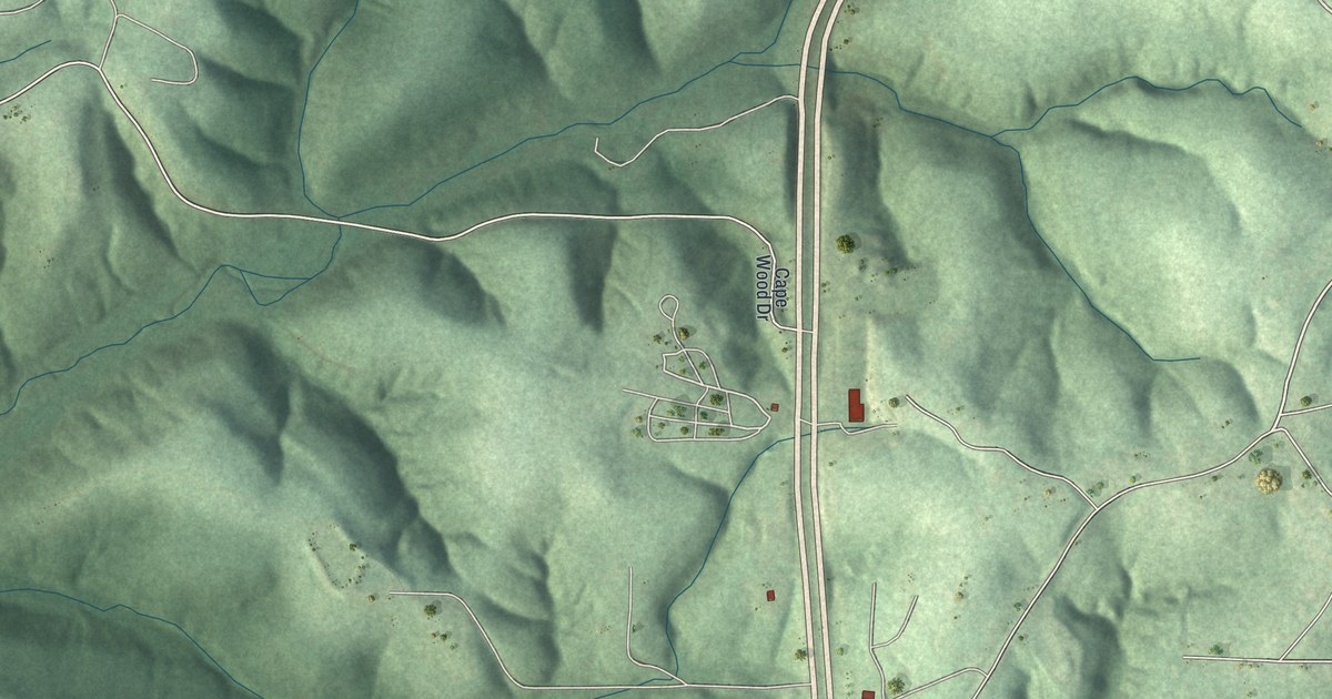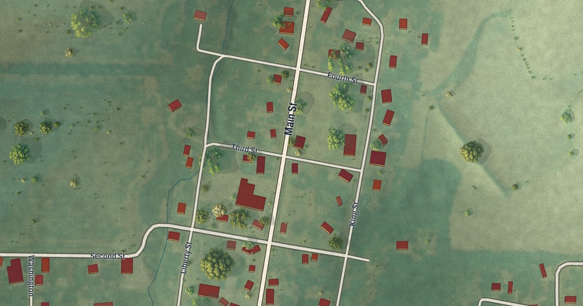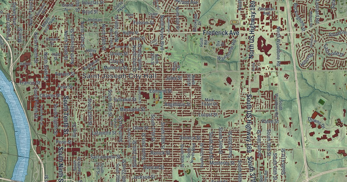
If you grew up here, or you still drive Frederick Avenue every day, this map was made with you in mind. It's a modern aerial view with a vintage look, built from modern data, showing St. Joseph in Buchanan County, Missouri. Green hills roll across the map. A wide blue river curves down the left side. More than 31,000 buildings are drawn in red, packed tight downtown near Saint Joseph City Hall and thinning out toward Kirschner and Saxton.
The Pony Express Stables on Penn Street
On this map you'll find Frederick Avenue, Saint Joseph Avenue, North Belt Highway, Mitchell Avenue, Penn Street, Felix Street, Messanie Street, King Hill Avenue, Ashland Avenue, Garfield Avenue, Corby Grove, Saint Joseph City Hall, Kirschner, Saxton, and more. Each red shape is a building, so zoom in on the preview and look for yours.
Dozens of St. Joseph buildings are on the National Register of Historic Places. The Pony Express Stables at 914 Penn Street are one of them. It joined the Register in 1970. Two more listings stand close by. The Patee House is listed at 12th and Penn Streets. The Jesse James House is listed at 12th Street and Mitchell Avenue. Penn Street and Mitchell Avenue are both printed on the map.
Downtown has its own old landmarks. City Hall, at Frederick Avenue and Eleventh Street, joined the Register in 1985. Wholesale Row covers the blocks between Jules, Third, Fourth and Francis Streets. Robidoux Row and the Robidoux School are both listed too. The Missouri Theater sits at Eighth and Edmond Streets.
How St. Joseph got its name
The town's name has a short story behind it. The State Historical Society of Missouri keeps an old place-names file from the 1920s and 1940s. Its Buchanan County pages name a man called Smith, who named his plat St. Joseph, in honor of his patron, Saint Joseph. A plat is a plan of a town's lots and streets. That name now runs through the whole map, from Saint Joseph Avenue to the big title at the bottom.
From Corby Grove to King Hill Avenue

Created by KNOWOL in 2026. The print shows St. Joseph from above, with shaded green hills, a blue river and red buildings, all in soft vintage colors. A cream panel at the bottom reads AERIAL VIEW OF ST. JOSEPH, MISSOURI, with 39°46' NORTH 94°51' WEST printed below.
It fits a living room, a front hall or an office wall. It's a good gift for someone who moved away and still talks about the Pony Express Stables on Penn Street, or for a family that has lived near Corby Grove for years. Open the preview and find your block. See sizes and frames for the St. Joseph map.