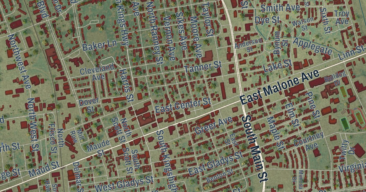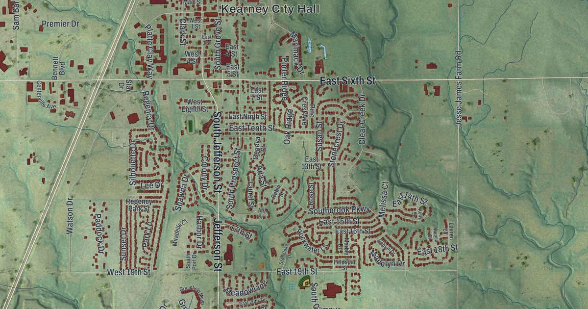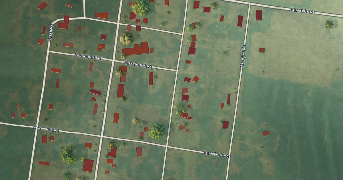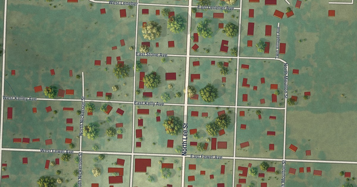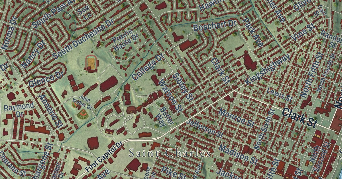
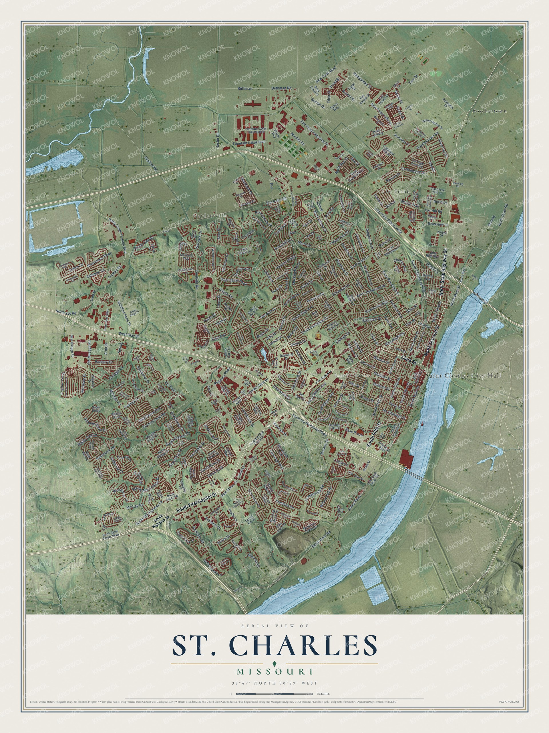
This beautifully detailed map of St. Charles, Missouri was created in 2026 using aerial imagery combined with modern topographical, census, street and landmark data. It’s a one-of-a-kind view of St. Charles that combines accurate data with a vintage aesthetic. The map shows every building in its true location, many of the roads carry their names, and the shaded topographic relief shows the shape of the land.
Explore an aerial view of St. Charles, Missouri
On the map you’ll find Saint Charles City Hall, Gardnerville, Bangert Island, Blanchette Park, McNair Park, Boschertown, and Elm Point, along with South First Capitol Drive, North Third Street, North Second Street, Clark Street, and more. If you look closely you can even find your house accurately drawn in its correct location. Zoom in on the preview to look for yours.
Did you know this piece of St. Charles, Missouri history?
William Clark reached St. Charles on May 16, 1804, with 40 men and three boats. Townspeople welcomed the explorers with dances and dinners while they waited for Meriwether Lewis. The expedition left by keelboat after he arrived. No other settled town hosted them for over two and a half years.
Take a closer look at the St. Charles map
Street and place names on the St. Charles, Missouri map
These names are printed on the map of St. Charles, Missouri.
Places: Saint Charles City Hall, Gardnerville, Saint Charles, Boschertown and Elm Point.
Streets and roads: South First Capitol Drive, North Second Street, Clark Street, South Fifth Street, North State Highway 94, West Clay Street, South Old Highway 94, Truman Road, South Main Street, North Main Street, Saint Charles Avenue, Arena Parkway.
More street names, A to Z
Abbydale Drive, Allen Avenue, Ameristar Boulevard, Angelique Place, Anneric Street, Antler Ridge Drive, Apricot Drive, Arcadia Drive, Arco Drive, Arpent Street, Autumn Wood Drive, Avignon Drive, Banbury Drive, Banon Drive, Barter Street, Barthel Avenue, Bass Pro Drive, Beale Street, Bel Rae Court, Bentwater Place, Berlekamp Drive, Berwick Court, Bethman, Bethman Road, Beverly Drive, Biloxi Court, Birch Tree Drive, Bismark Drive, Blair Place, Blanche Drive, Blanchette Drive, Blue Stone Drive, Bogey Estate Drive, Bogey Estates Drive, Boone Avenue, Boones Lick Road, Boschert Drive, Boschertown Road, Briarcliff Drive, Bridle Spur Lane, Brighton Park Drive, Broad Street, Buckingham Place, Burning Tree Lane, Butler Way, Calhoun Drive, Cambrian Way, Canal Street, Canary Lane, Carriage Crossing, Carr Street, Cattail Way, Charann Street, Chargene Street, Charles Drive, Charwood Street, Chemin Avenue, Cherokee Lane, Cheshire Drive, Chester Boulevard, Chestnut Drive, Christy Drive, Clarendon Lane, Clover Lane, Cogwheel Station, Cole Boulevard, College Drive, Collingwood Drive, Concordia Lane, Cottonwood Drive, Country Bluff Drive, Country Club Plaza Drive, Country Club Road, Covington Parkway, Cunningham Avenue, Cutright Lane, Cypress Drive, Dahlia Court, Dardenne Street, Deerfield Drive, Deergrass Drive, Depaula Trail, Depot Lane, Devilla Trail, Dexter Drive, Diekamp Farm Trail, Diekamp Lane, Discovery Path Lane, Double Eagle Drive, Dove Drive, Droste Road, Dyess Way, Eagle Cove Lane, Eagle Forest Drive, Ehlman, Ehlmann Road, Elk Trail, Elm, Elmcrest Drive, Elmhurst Drive, Elm Point Industrial Drive, Elm Point Road, Elm Street, Elmwood Drive, Empire Drive, Esterling Drive, Exchange Drive, Exist Old Elm Street, Fairgrounds Road, Fairways Circle, Falcons Way, Faye Avenue, First Capitol Drive, Florine Boulevard, Ford Lane, Forest Avenue, Forest Hill Drive, Forest Hills Drive, Fountain Lakes Boulevard, Fountain Lakes Industrial Drive, Fountainview Drive, Fox Hill Road, Frank Drive, Friedens Road, Gallaher Avenue, Galt House Drive, Gardenbridge Place, Glazer Way, Glenco Drive, Granger Boulevard, Graystone Drive, Greendale Drive, Greenleaf Drive, Hackmann Road, Hanover Hills Court, Harry South Truman Boulevard, Hastings Way, Hawk Drive, Hawks Nest, Hawks Nest Drive, Hawning Road, Hawthorne Avenue, Hayford Road, Headland Drive, Hempstead Street, Hemsath Road, Hilltop, Hineman Drive, Hiram Street, Honey Locust Lane, Howell Street, Huck Finn Drive, Hughes Lane, Hunters Ridge, Huntington Parkway, Huster Road, Indian Hills Drive, Island Harbor Drive, Ithaca Circle, Ivy Court, Jackson Street, James Drive, Jefferson Street, John Weber Drive, Judy Drive, Kandahar Drive, Ken, Ken Drive, Kettering Court, Kettering Drive, Kingdom Drive, Kingshighway, Kristopher Bend, Kunze Drive, La Brea Drive, Lake Court, Lake Forest Drive, Lake Forest Lane, Lakeshore Drive, Lancaster Drive, Landau Court, Lee Court, Lee Drive, Lewis Street, Lightfoot Drive, Linden Place, Little Hills Boulevard, Little Hills Expressway, Longbow Trail, Lost Meadow, Lynnbrook Drive, Madison Street, Mango, Maple Tree Drive, Marbach Way, Marie Drive, Marr Lane, Mayer Drive, McClay Road, Mc Donough Street, McNair Park Drive, Melody, Mercantile Industrial Drive, Michaelwood Court, Mockingbird Drive, Monroe Street, Montclair Manor Drive, Montclair Tower Drive, Muegge Road, Mueller Road, Mulberry Lane, Nancy Drive, Nantucket Drive, Nathan Street, New Muegge Road, New Town Boulevard, New Town Lake Drive, Norma Drive, North Drive, North Duchesne Drive, North Fifth Street, North Fifth Street Extension, North Fourth Street, North Main, North Outer Road, North Overbrook Drive, North River Road, North Rue Street, North Saint Peters Parkway, North Sixth Street, North Svc Road, North Third Street, North Village Drive, Norwich Drive, Oak Avenue, Oakleaf Drive, Olde Court Road, Olde Worcester Drive, Old Muegge Road, Old South River Road, Olive Street, Oriole Drive, Palisades Drive, Pallardy Lane, Par Drive, Park Avenue, Park Court, Park Drive, Paula Drive, Penbrooke Lane, Perry Street, Picardy, Pierpoint Lane, Pike Street, Pinedale Drive, Plaza Court, Plaza Way, Point West Boulevard, Portwest Drive, Prairie Haute Drive, Pralle Lane, Prescott Ridge, Quail Run Lane, Quince, Randolph Street, Raymond Drive, Rebecca Drive, Regency Parkway, Ridgeview Drive, Rio Vista Drive, Riverchase Parkway, Rivers Edge Drive, Riverview Lane, Robin Drive, Rue Royale Street, Rue Street, Ruger Circle, Runnymede Drive, Ruth Drive, Saint Robert Lane, Sandfort Farm Drive, San Jose Drive, San Juan Drive, Santa Clara Street, Santa Fe Street, Santa Maria Street, Santa Rosa Street, Santa Ynez Drive, Sassafras Court, Scarsdale Manor Drive, Scenic Cove Lane, Seton Court, Seven Oaks Drive, Shadow Wood Drive, Shady Oak Drive, Sherman Drive, Shire Lane, Shorewinds Trail, Sibley Street, Signal Hill Court, Silver Ridge, Silvertrail Drive, Simeon Bunker Street, South Duchesne Drive, South Highway 94, South Pam Avenue, South River Road, South Second Street, South Sixth Street, South Third Street, South Wheaton Drive, Spring, Spring Mill Creek, Spring Mill Estates Drive, Stowe Landing, Sturbridge Drive, Sublette Street, Sue Lane, Summitview Drive, Sun Lake Drive, Suntan Drive, Sussex Drive, Sutton Drive, Sweetwater Crossing Place, Sylvan Lane, Talbridge Way, Tarn Street, Teduke Court, Thrush Drive, Tiber Street, Tilbury Drive, Timberidge Drive, Time Centre Drive, Towerbridge Place, Town West Drive, Transit Street, Treetop Drive, Tuscany Trace Drive, Veterans Memorial Parkway, Vine Street, Wainwright Street, Wall Street, Walnut Street, Walsh Court, Walters Way, Warwick Drive, Water Street, Watson Street, West Adams Street, Westborough Drive, Westbury Drive, West Canal Street, Westminster Drive, West Randolph Street, White Lake Drive, White Oaks Lane, Wild Goose Run, Willow Oak Drive, Willow Trail, Wolverton Court, Woodbriar Lane, Woodlawn Drive, Wright Drive, Yale Boulevard, Zumbehl Road.
See the St. Charles, Missouri map on a wall
The St. Charles map as an 18 x 24 inch print in a black frame.

This beautifully detailed map of St. Charles makes an attractive addition to your office, library, or den, and it can even be used to teach children the geography and history of the area. It also makes a great gift for someone who left St. Charles and still calls it home. When you’re done exploring, click here to get your copy of the St. Charles map.