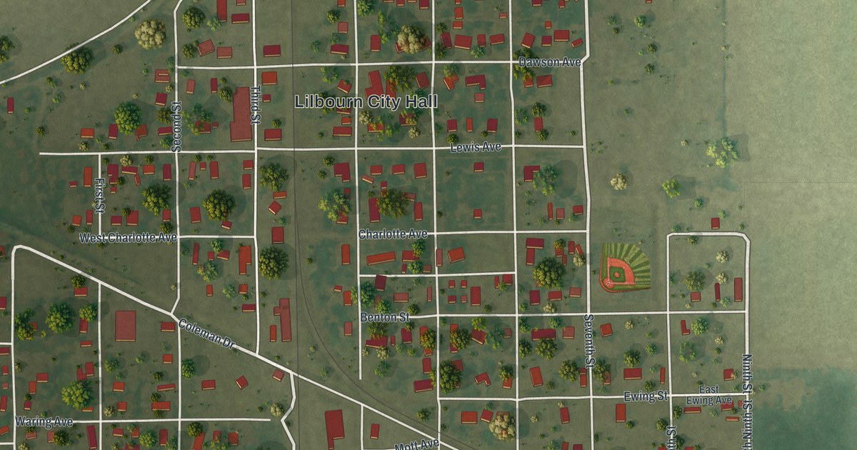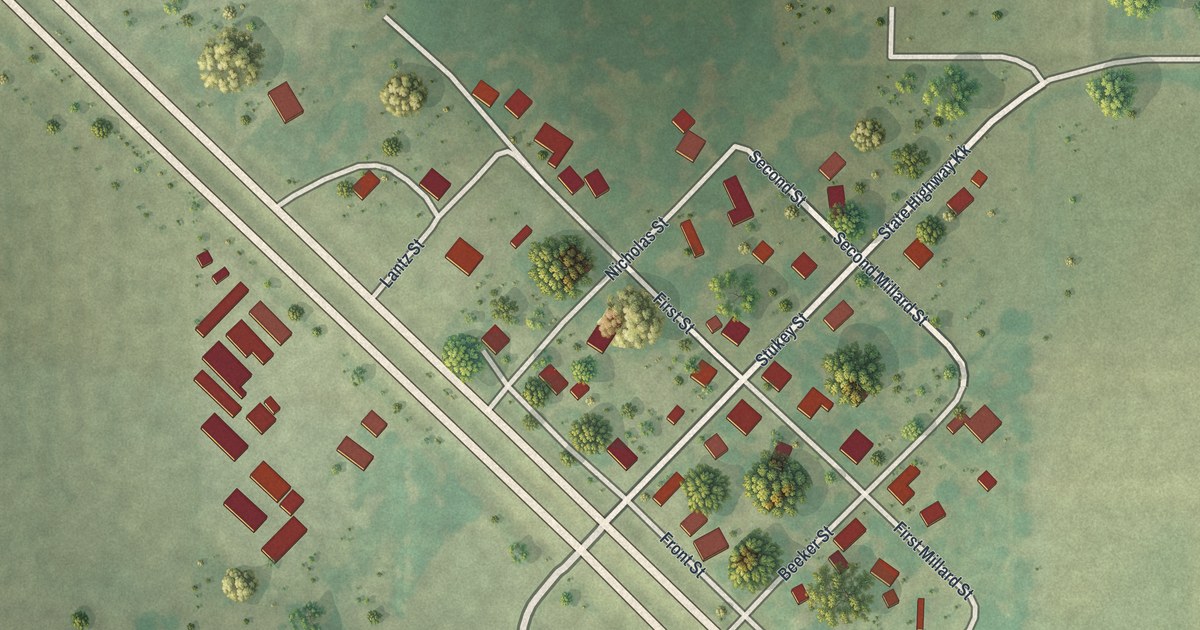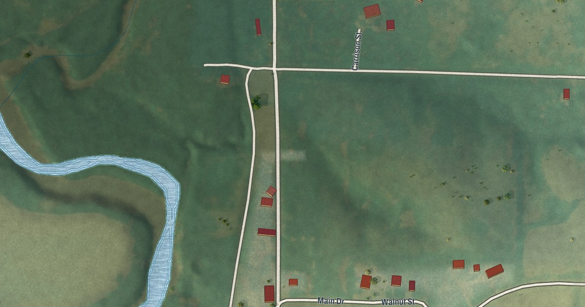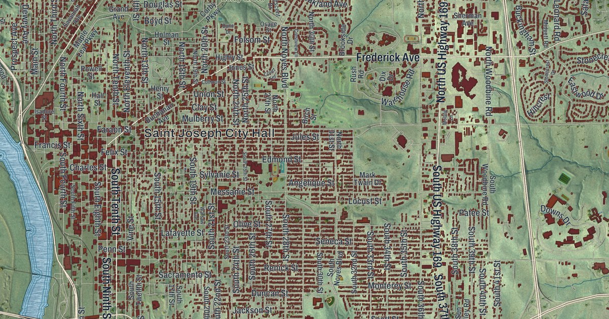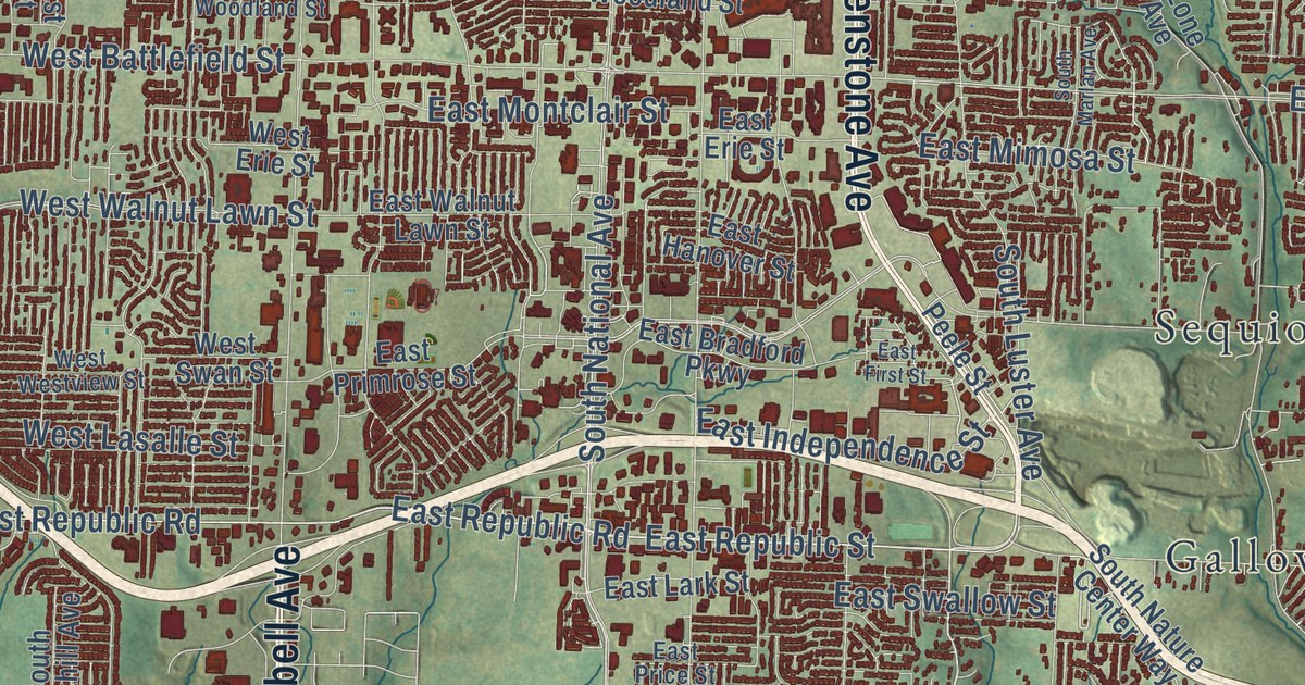
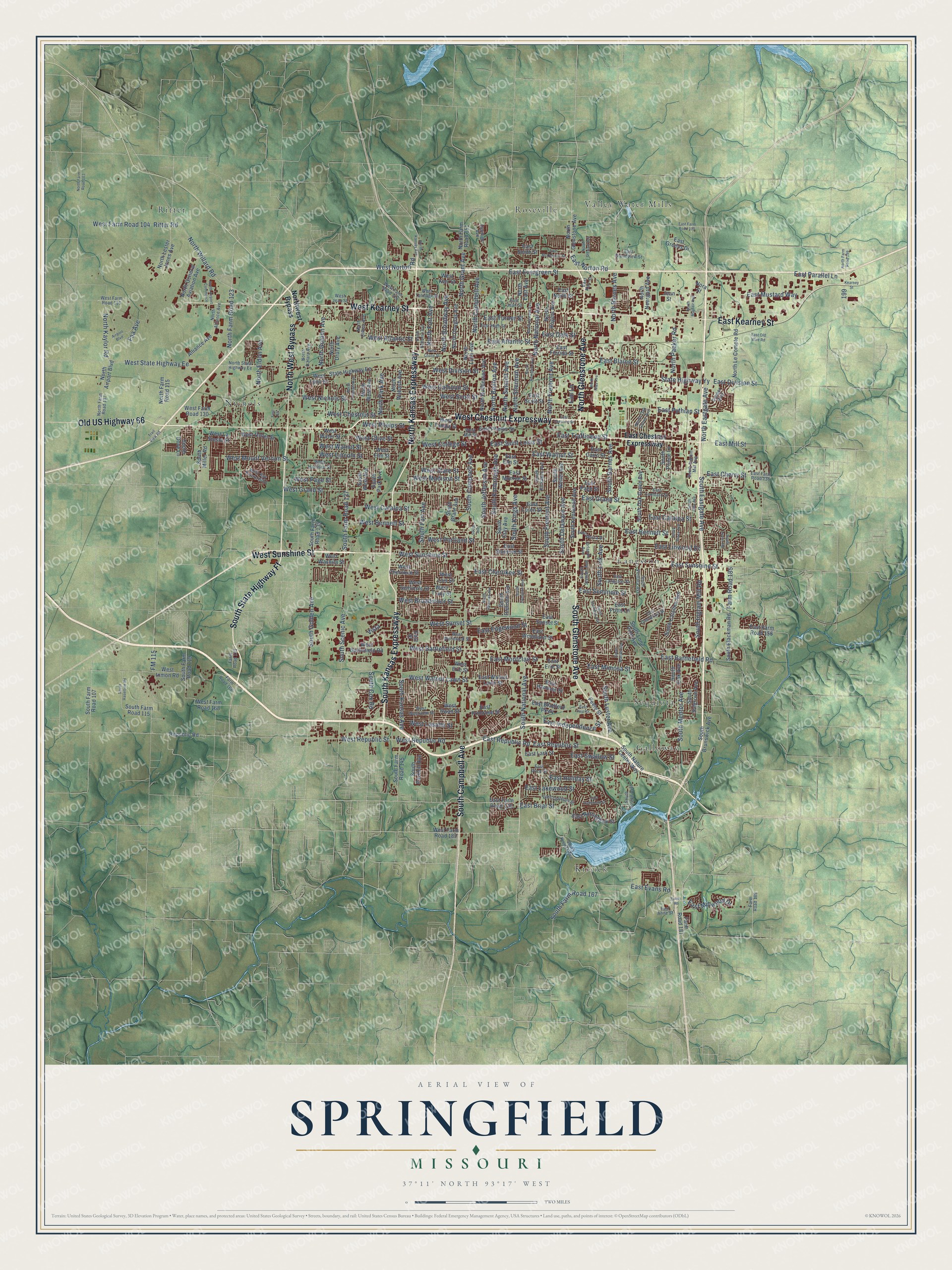
This beautifully detailed map of Springfield, Missouri was created in 2026 using aerial imagery combined with modern topographical, census, street and landmark data. It’s a one-of-a-kind view of Springfield that combines accurate data with a vintage aesthetic. The map shows every building in its true location, many of the roads carry their names, and the shaded topographic relief shows the shape of the land.
Explore an aerial view of Springfield, Missouri
On the map you’ll find Galloway, Kissick, Langston, Nichols, Ritter, Roseville, Sequiota, and Valley Water Mills, along with West Chestnut Expressway, South Glenstone Avenue, East Kearney Street, West Kearney Street, and more. If you look closely you can even find your house accurately drawn in its correct location. Zoom in on the preview to look for yours.
Did you know this piece of Springfield, Missouri history?
From the 1883 History of Greene County, Missouri: "Some time during or immediately after the war of 1812, a band of the Kickapoo tribe of Indians built a town on the present site of Springfield, which they occupied for several years."
Take a closer look at the Springfield map
Street and place names on the Springfield, Missouri map
These names are printed on the map of Springfield, Missouri.
Places: Langston, Valley Water Mills, Kissick, Ritter, Nichols, Galloway, Roseville and Sequiota.
Streets and roads: West Chestnut Expressway, South Glenstone Avenue, East Kearney Street, West Kearney Street, West Sunshine Street, North Glenstone Avenue, South Kansas Expressway, North Kansas Expressway, South State Highway Ff, South Campbell Avenue, North West Bypass, Old US Highway 66.
More street names, A to Z
Airport Boulevard, Alliance Avenue, Cooper Boulevard, East Anne Street, East Atlantic Street, East Battlefield Road, East Bennett Street, East Blaine Street, East Bradford Parkway, East Briar Street, East Cairo Street, East Carleton Street, East Catalpa Street, East Cherokee Street, East Cherry Street, East Chestnut Expressway, East Chestnut Street, East Dale Street, East Division Street, East Edgewood Street, East Elm Street, East Erie Street, East Evans Road, East Evergreen Street, East Farm Road 102, East Farm Road 136, East Farm Road 156, East Farm Road 178, East First Street, East Florida Street, East Fritts Lane, East Glenwood Street, East Grand Street, East Grandview Street, East Greens Drive, East Hanover Street, East High Street, East Holiday Street, East Independence Street, East Jean Street, East Kerr Street, East Lakewood Street, East Langston Street, East Lark Street, East Linwood Drive, East Lombard Street, East Loren Street, East Marsa Drive, East McClernon Street, East Mill Street, East Millwood Drive, East Mimosa Street, East Monroe Street, East Montclair Street, East Mustard Way, East North Street, East Norton Road, East Nottingham Street, East Old Wire Road, East Page Street, East Parallel Lane, East Phelps Street, East Price Street, East Primrose Street, East Pythian Street, East Republic Road, East Republic Street, East Richmond Street, East Saint Louis Street, East Scott Street, East Seminole Street, East Smith Street, East Stanford Street, East Street, East Sunset Street, East Sunshine Street, East Swallow Street, East Trafficway Street, East Turner Street, East Walnut Lawn Street, East Walnut Street, East Woodland Street, Elm Lane, Evans Road, Faa Avenue, Farm Road 123, Farm Road 166, Farm Road 181, Farm Road 185, Farm Road 189, First Street, FM 115, Heritage Avenue, Jean Street, Kearney Street, Nora Street, North Airport Boulevard, North Airport Commerce, North Alliance Avenue, North Barnes Avenue, North Benton Avenue, North Broadway Avenue, North Campbell Avenue, North Clifton Avenue, North Douglas Avenue, North Drury Avenue, North East Avenue, North Eastgate Avenue, North Eldon Avenue, North Farm Road 103, North Farm Road 107, North Farm Road 115, North Farm Road 123, North Farm Road 151, North Farm Road 199, North Fort Avenue, North Fremont Avenue, North Fulbright Avenue, North General Aviation Avenue, North Golden Avenue, North Grant Avenue, North Hampton Avenue, North Howard Avenue, North Kansas Avenue, North Kaylor Road, North Le Compte Road, North Lester Jones Avenue, North Lyon Avenue, North Mayfair Avenue, North National Avenue, North Neergard Avenue, North Nettleton Avenue, North Nias Avenue, North O'Hara Avenue, North Oak Grove Avenue, North Packer Road, North Park Avenue, North Robberson Avenue, North Rogers Avenue, North Sherman Avenue, North State Highway Ee, North Stewart Avenue, North Summit Avenue, North Wabash Avenue, North West Avenue, Northwest Bypass, North Willard Road, Orlando Avenue, Peele Street, Republic Road, Ritter Road, South Avenue, South Barnes Avenue, South Blackman Road, South Brunswick Avenue, South Catalina Avenue, South Clay Avenue, South Cox Road, South Delaware Avenue, South Devon Road, South Dollison Avenue, South Dove Lane, South Eastgate Avenue, South Farm Road 107, South Farm Road 115, South Farm Road 119, South Farm Road 135, South Farm Road 137, South Farm Road 145, South Farm Road 167, South Fort Avenue, South Fremont Avenue, South Golden Avenue, South Grant Avenue, South Hampton Avenue, South Haseltine Road, South Ingram Mill Avenue, South Ingram Mill Road, South Jefferson Avenue, South John Avenue, South Kansas Avenue, South Kentwood Avenue, South Kickapoo Avenue, South Kimbrough Avenue, South Kings Avenue, South Kissick Avenue, South Link Avenue, South Lone Pine Avenue, South Luster Avenue, South Marlan Avenue, South Mentor Avenue, South Miller Road, South National Avenue, South Nature Center Way, South Oak Avenue, South Oak Grove Avenue, South Park Avenue, South Parkhill Avenue, South Plaza Avenue, South Prince Lane, South Roanoke Avenue, South Roslyn Avenue, South Scenic Avenue, South Sheridan Avenue, South Stewart Avenue, South Sulgrove Avenue, South Ventura Avenue, South Weller Avenue, South West Avenue, State Highway Ee, State Highway Yy, Trail View Road, Vista, West Atlantic Street, West Battlefield Road, West Battlefield Street, West Bennett Street, West Broadmoor Street, West Calhoun Street, West Catalpa Street, West Chase Street, West Cherokee Street, West Chestnut Street, West College Street, West Division Street, West Dover Street, West Elm Street, West Erie Street, West Farm Road 104, West Farm Road 112, West Farm Road 116, West Farm Road 130, West Farm Road 168, West Farm Road 182, West Grand Street, West Harrison Street, West Inmon Road, West Jean Street, West Kay Pointe Boulevard, West Kerr Street, West Lasalle Street, West La Siesta Street, West Lincoln Street, West Lois Street, West Lynn Street, West Madison Street, West Mill Street, West Mount Vernon Street, West Nichols Street, West Norton Road, West Olive Street, West Page Street, West Phelps Street, West Portland Street, West Republic Road, West Republic Street, West Scott Street, West Seminole Street, West State Highway Ee, West State Street, West Sunset Street, West Swan Street, West Talmage Street, West Tampa Street, West Tracy Street, West Walnut Lawn Street, West Walnut Street, West Washita Street, West Water Street, West Westview Street, West Woodland Street.
See the Springfield, Missouri map on a wall
The Springfield map as an 18 x 24 inch print in a black frame.

This beautifully detailed map of Springfield makes an attractive addition to your office, library, or den, and it can even be used to teach children the geography and history of the area. It also makes a great gift for anyone who grew up in Springfield or moved away. When you’re done exploring, click here to get your copy of the Springfield map.