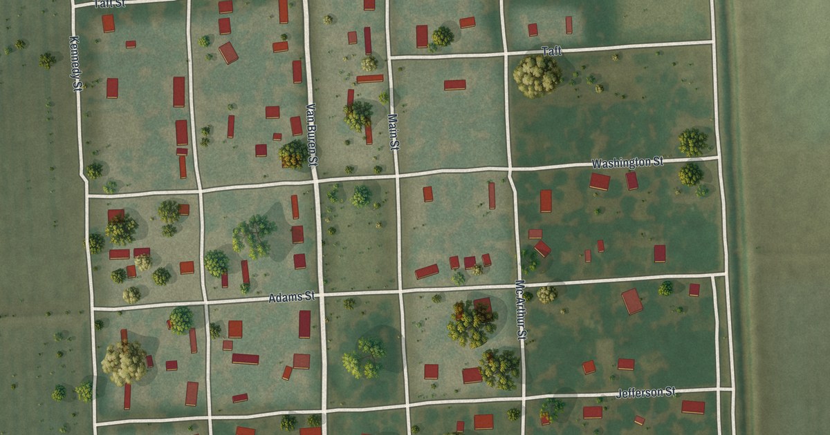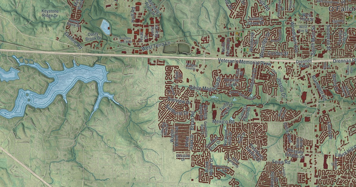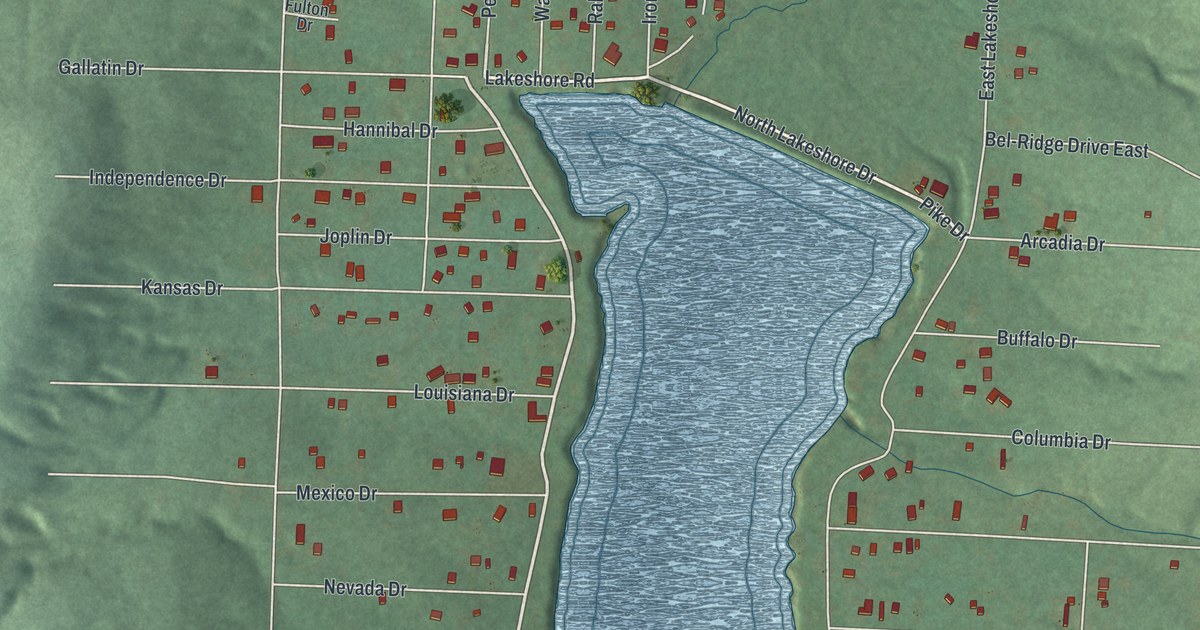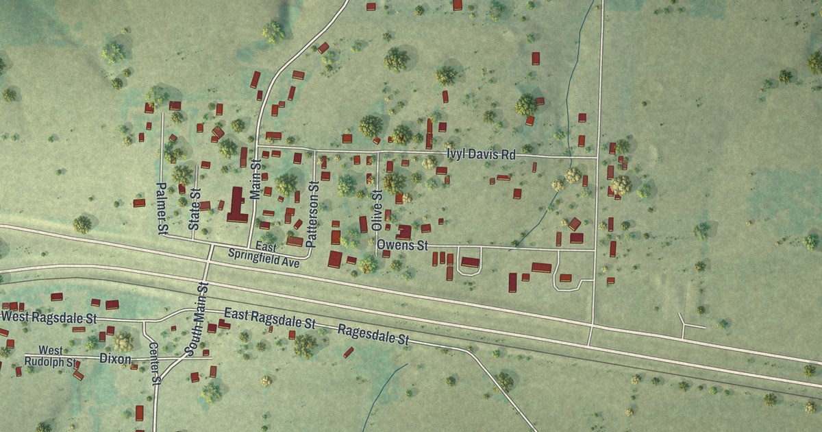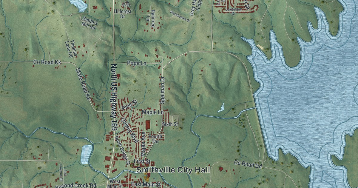
If you grew up in Smithville, or you still drive North US Highway 169 home, this map was made with you in mind. It's a modern aerial view of Smithville in Clay County, Missouri, built from map data and finished with a vintage feel. Smithville City Hall sits near the center, with the town's streets close around it. Green hills and winding creeks fill the land on every side. A wide blue lake with many long arms reaches down the right side of the sheet.
What's on the Smithville map
On this map you'll find Smithville City Hall, North US Highway 169, East Main Street, West Main Street, North Main Street, South Commercial Avenue, North Bridge Street, Liberty Street, First Street, Eagle Parkway, Second Creek Road, Smith's Mill Road, Helvey Park Drive, Mount Olivet Road, and more. Each red shape is a building, so zoom in on the preview and look for yours.
Humphrey Smith, Smithville's first settler
The first settler on the site of Smithville was Humphrey Smith. An 1885 history of Clay County says Humphrey Smith came to this spot in the spring of 1822. Two years later, in 1824, he built a mill on a fork of the Platte River. The book says that stream still bears his name. The same history calls him "Yankee" Smith. Its chapter list promises stories about his odd ways, his death and the words on his tombstone. Smith's Mill Road is printed on this map, and the big title at the bottom reads Smithville.
Smithville sits in rolling country. The map shows it with shaded hills and hundreds of small streams. Buildings line North US Highway 169 north and south of City Hall, with small clusters of streets off to each side. On the east side, the blue water fills the low valleys between the ridges.
Aerial View of Smithville, Missouri
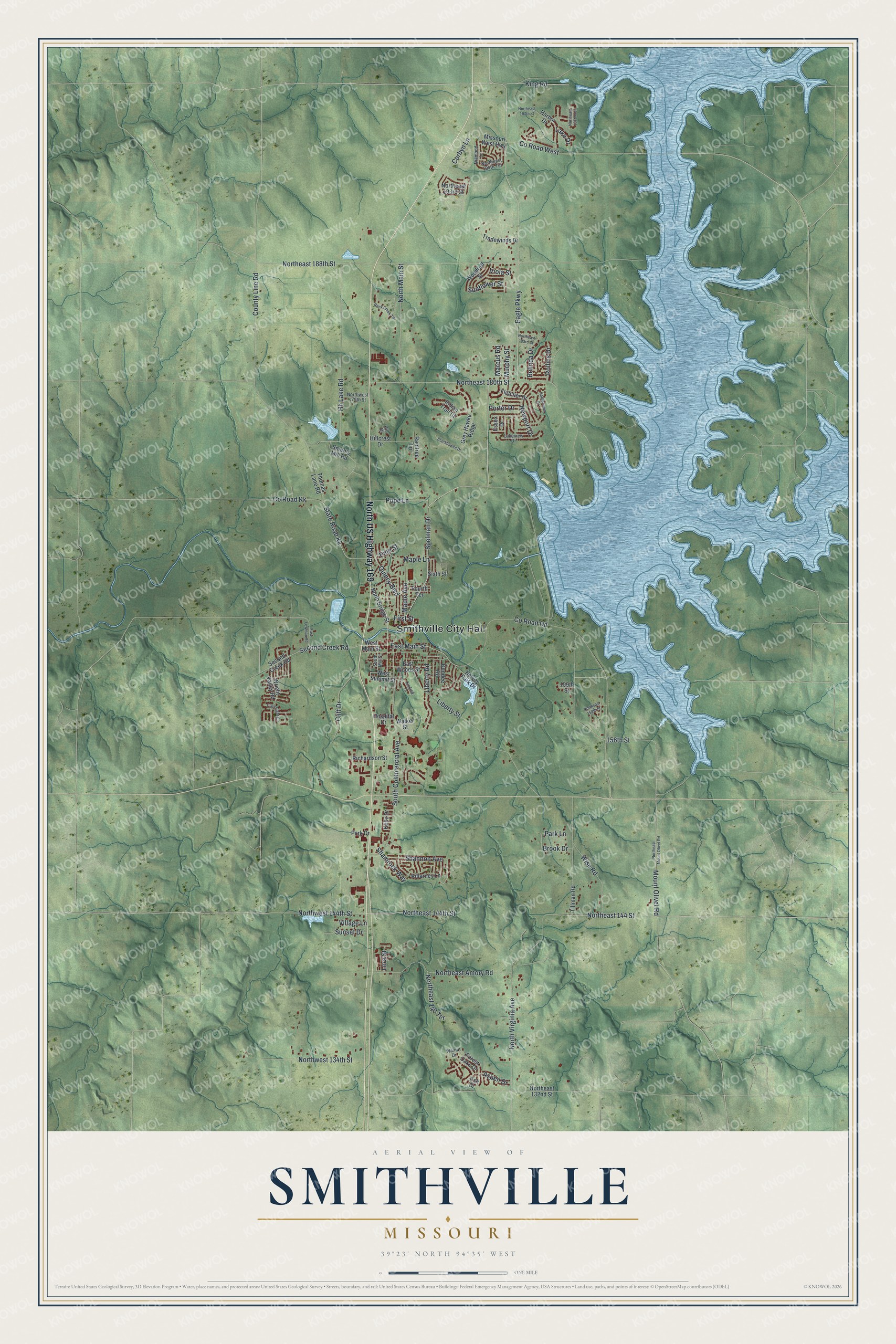
Created by KNOWOL in 2026, this print shows Smithville from above in soft greens and blues, with shaded hills, winding creeks and small red buildings. The title panel at the bottom reads "Aerial View of Smithville, Missouri" with the coordinates 39°23' North 94°35' West.
It fits a living room, a home office or the hallway by the front door. It's a good gift for someone who grew up near Smithville City Hall and moved away, or for a family who just found a home off Eagle Parkway. Open the preview and find your street. See sizes and frames for the Smithville map.