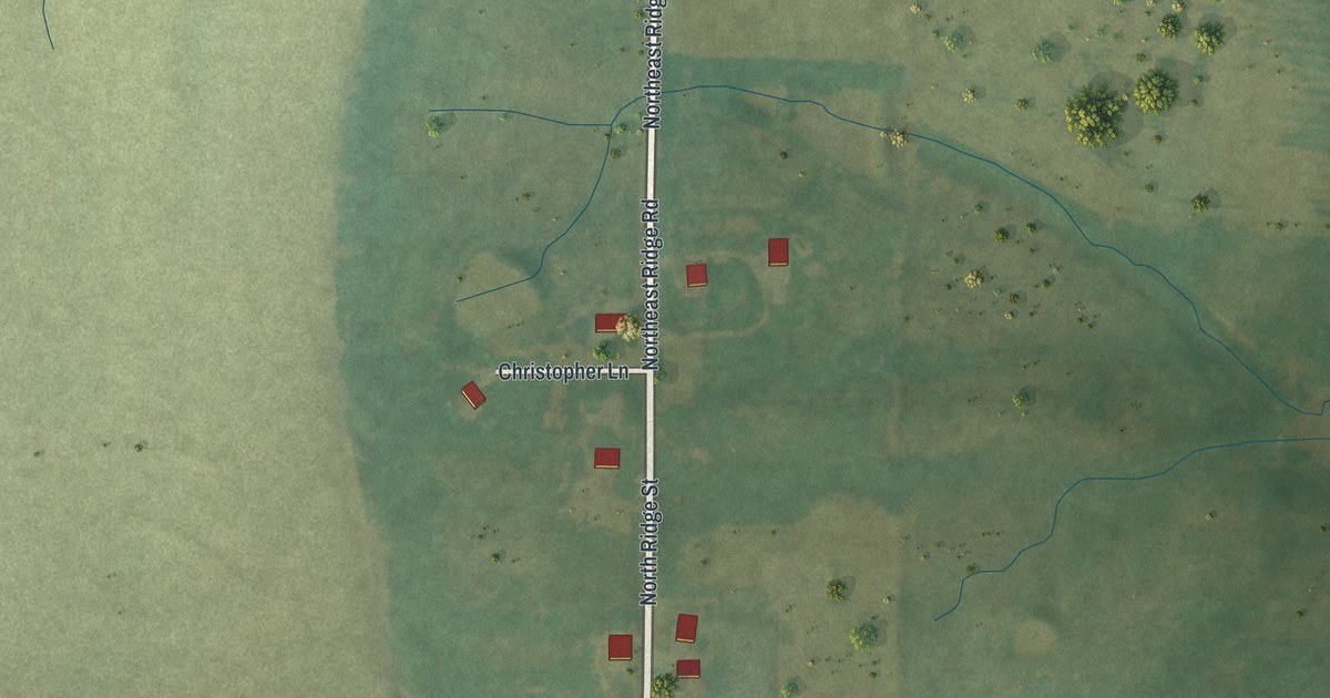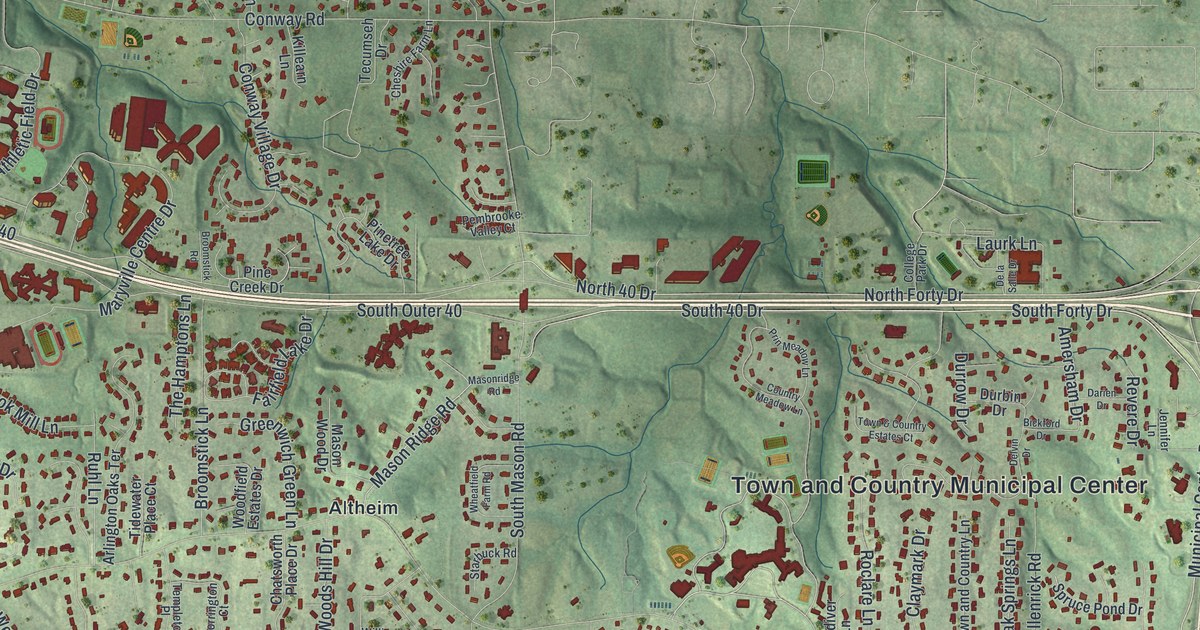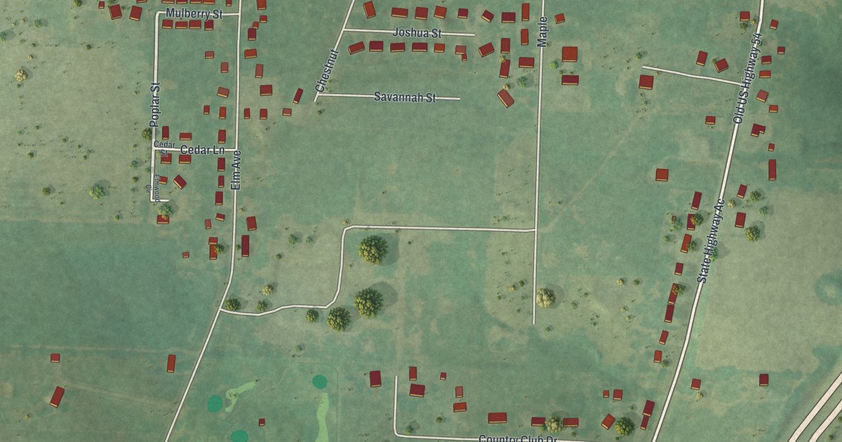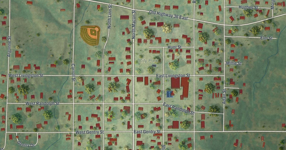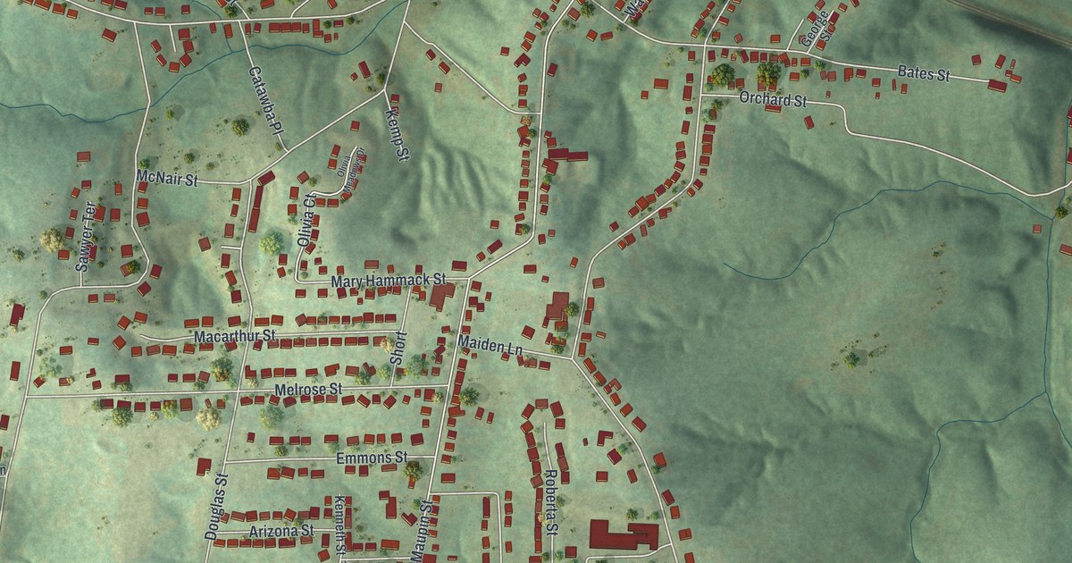
If you grew up in New Haven, or still have family on its hilly streets, this map is a way to see home all at once. It's a modern aerial view of New Haven in Franklin County, Missouri, made from modern data and given a soft vintage look. You'll see the old blocks by the river, the rail line along the bank, and the green hills that climb to the south. Farther south, it shows the large red rooftops along Industrial Drive.
How Miller's Landing became New Haven
On this map you'll find Front Street, Main, Miller Street, High Street, Selma Street, Maupin Avenue, Olive Road, Locust Street, Walnut Street, Orchard Street, Bates Street, Industrial Drive, Boeuf Lutheran Road, Robller Vineyard Road, and more. Each red shape is a building, so zoom in on the preview and look for yours.
Long before it was New Haven, this spot had another name. People called it Miller's Landing. It was named for Philip Miller, one of the early settlers in the county. The town was laid out in 1856. That's when William O. Ming suggested the name New Haven. This story comes from the 1888 county history of Franklin County, reprinted in 1958. The same book says the town sat on the Missouri Pacific Railway, thirteen miles above Washington. On the map, the rail line still hugs the river, just below the oldest blocks.
Front Street and the AME Church on Selma Street
Two places in town are on the National Register of Historic Places. One is the New Haven Commercial Historic District, at 111 to 139 Front Street. The other is the AME Church of New Haven, at 225 Selma Street. Both streets are printed on this map. Look near the river, where the red buildings sit close together, and you'll be in the old heart of town.
A map for people who grew up near Front Street
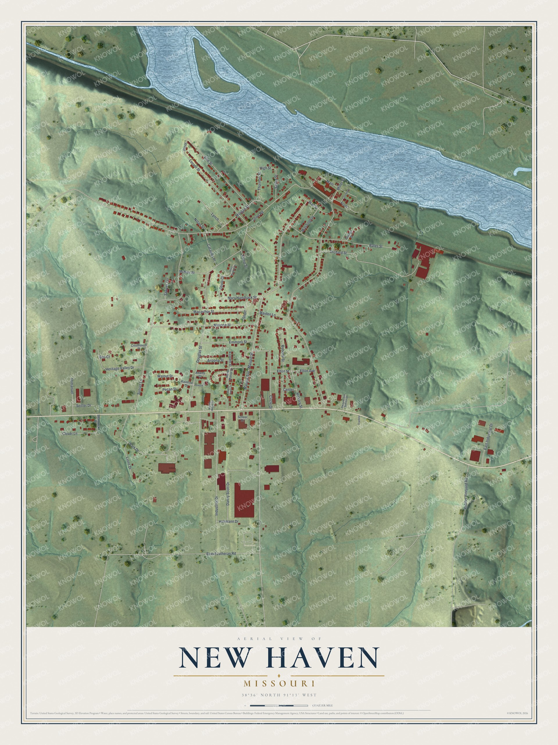
Created by KNOWOL in 2026, this print shows shaded green hills, a wide blue river across the top, and buildings in deep red. A cream title panel at the bottom reads "Aerial view of New Haven, Missouri" with the coordinates 38°36' North 91°13' West.
It suits a living room, a hallway or a home office. It makes a good gift for someone who grew up near Front Street and moved away, or for a family with roots on the streets above the river. Open the preview and look for the streets you know. See sizes and frames for the New Haven map.