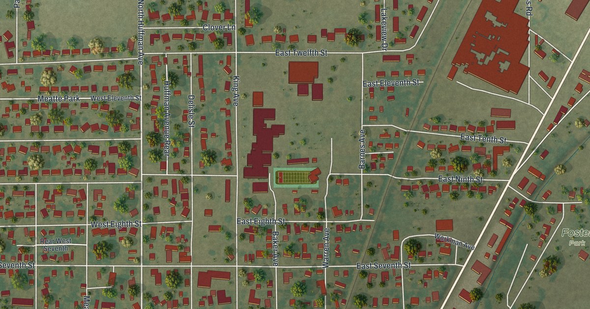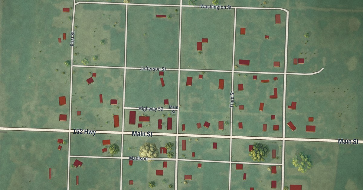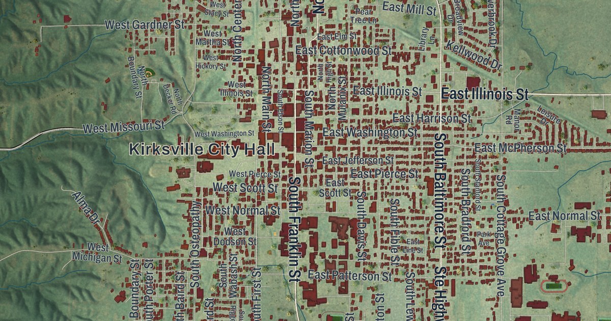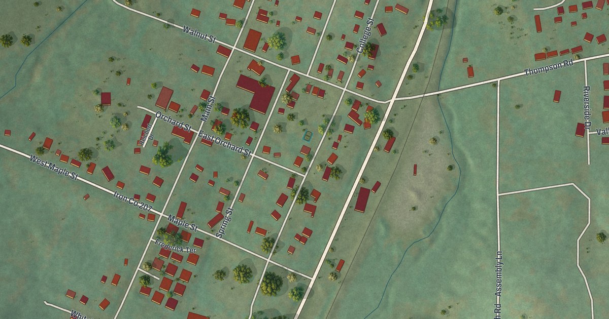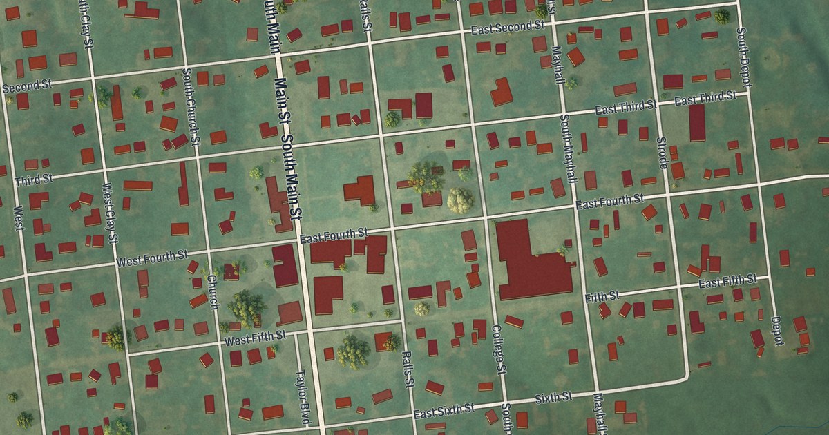
If you grew up in New London, look for your old block on this print. It's a modern aerial view of New London in Ralls County, Missouri, made with modern data and a vintage feel. Red buildings fill the street grid, with green fields and wooded ground around town.
Main Street and New London's early years
On this map you'll find North Main Street, South Main Street, Ralls Street, Church Street, College Street, Maple Street, Rector Street, East First Street, East Union Street, Barkley Cemetery, New London Community Park, and more. Each red shape is a building, so zoom in on the preview and look for yours.
New London's story starts with a town plan and a county seat. The State Historical Society of Missouri's place-name account says William Jameson laid out the town in 1819. In 1821, five commissioners chose it as the county seat. The act that formed Ralls County had appointed those men. That choice came just two years after the town was laid out. That's a good bit of New London history to pass along.
New London Community Park and the blocks of home
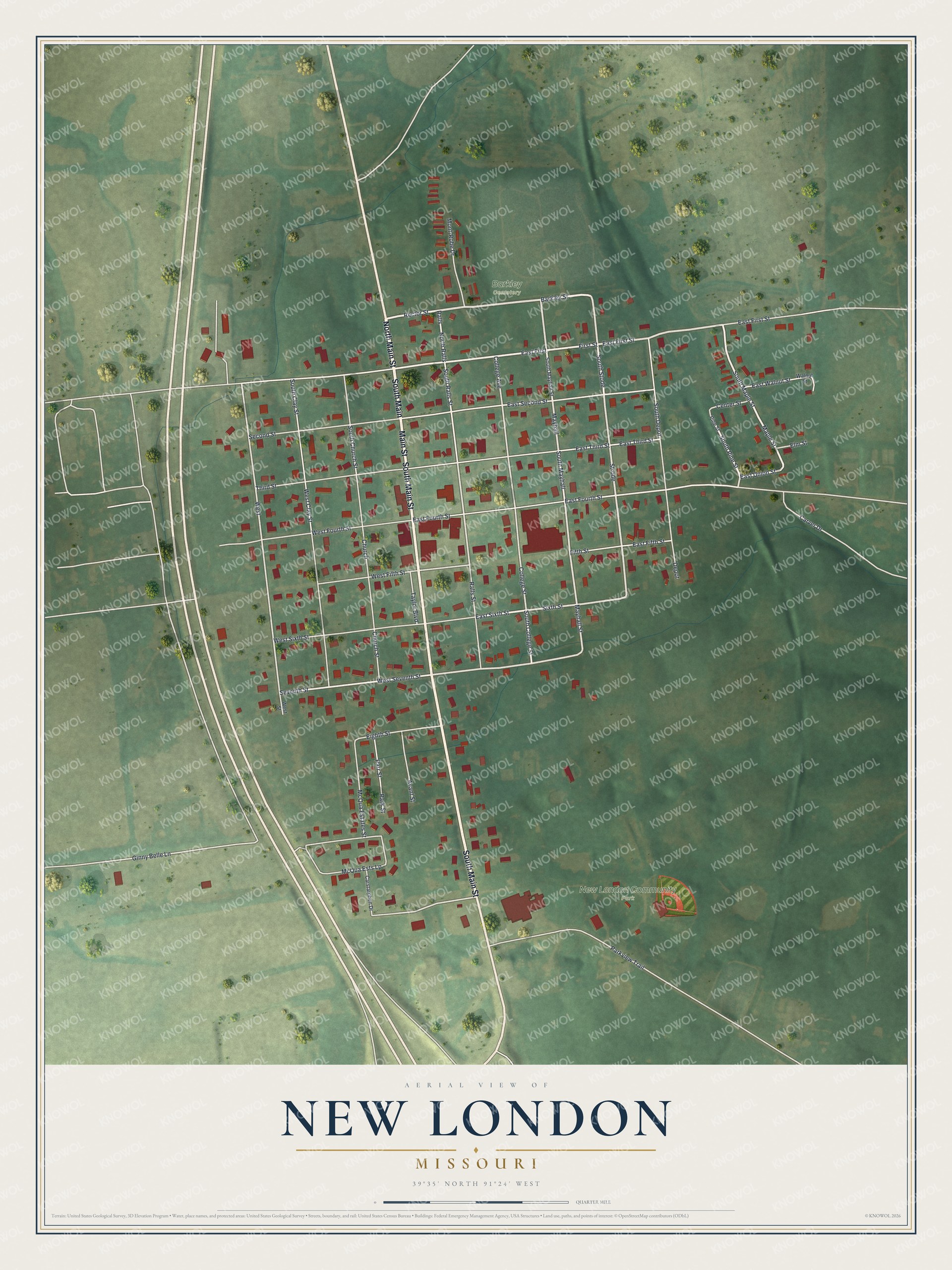
Created by KNOWOL in 2026, the print pairs soft green land with red buildings and pale roads. A cream border and dark blue lettering give it a vintage feel. The title panel reads AERIAL VIEW OF, NEW LONDON, MISSOURI, with 39°35' NORTH 91°24' WEST below.
This New London print suits a living room, home office, or entryway. It's a gift for someone who knows New London Community Park, or for family who'd like to keep home close. Open the preview and take a closer look at a familiar block. See sizes and frames for the New London map.