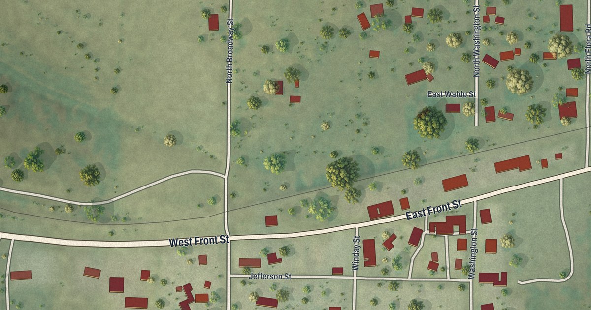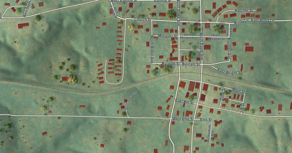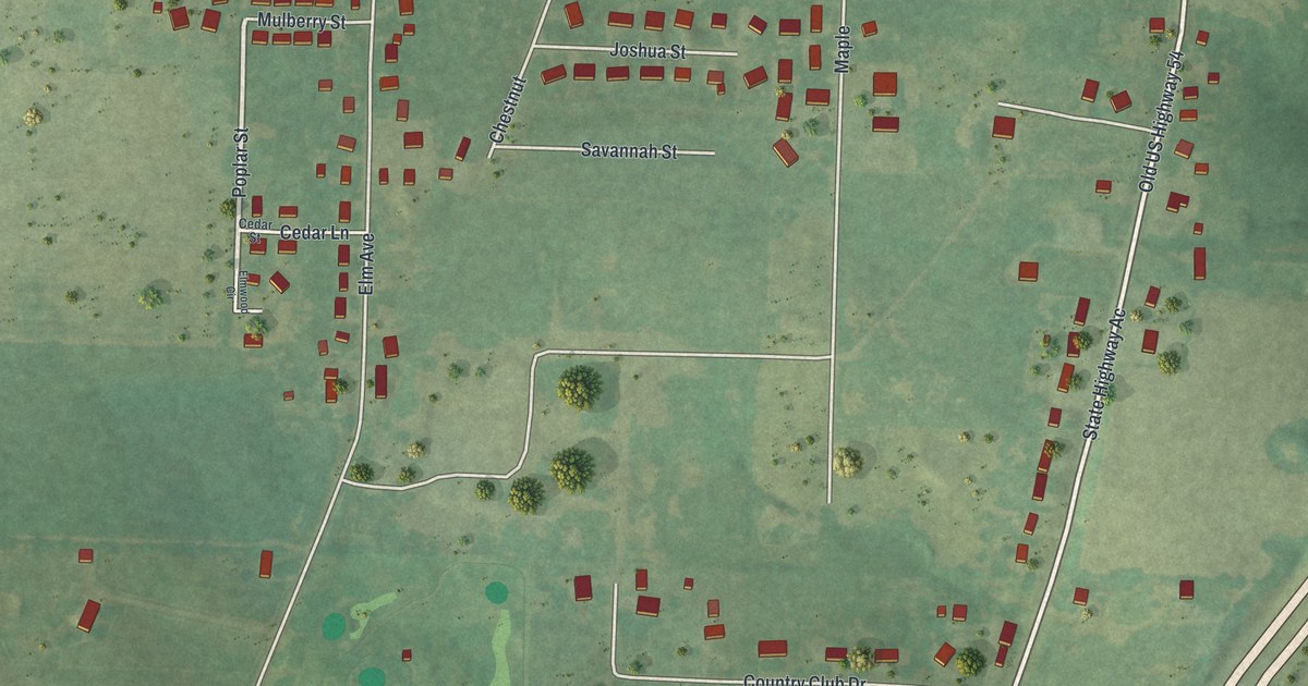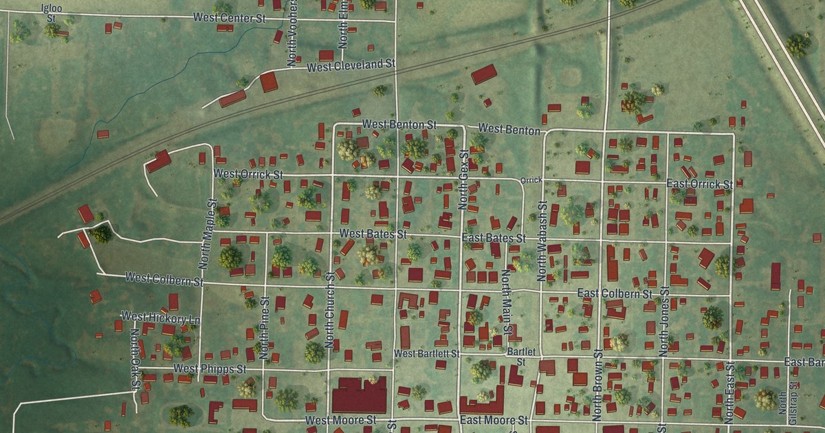
If you grew up in La Plata or still have family on its streets, this map is for you. It's a new aerial view of La Plata in Macon County, Missouri, made from modern data and given a vintage look. The town's grid sits in the middle, with red buildings packed along West Clark Street and East Clark Street. Green farm fields spread out on every side. A blue lake sits in the upper right corner, and rail lines cross the sheet on a slant.
Lewis Gex and the Streets of La Plata
On this map you'll find West Clark Street, East Clark Street, North Main Street, South Main Street, North Gex Street, South Gex Street, North Owensby Street, North Church Street, West Moore Street, East Moore Street, Park Avenue, Old Highway 63, Old Stagecoach Road, La Plata Cemetery, and more. Each red shape is a building, so zoom in on the preview and look for yours.
La Plata is an old town. The State Historical Society of Missouri says it was laid out in 1855. Two men did the work, Lewis Gex and Thomas Saunders. That's more than 170 years ago. The Gex name still shows up on the map today. Look for North Gex Street and South Gex Street in the town's grid.
Old Houses on North Owensby Street and North Church Street
Three La Plata houses are on the National Register of Historic Places. The Gilbreath-McLorn House was listed in 1978, and the John T. and Mary M. Doneghy House, at 301 North Owensby Street, was listed in 1990. The Lester and Norma Dent House, at 225 North Church Street, was listed that same year. North Owensby Street and North Church Street are both printed on this map.
Keep La Plata and Clark Street Close
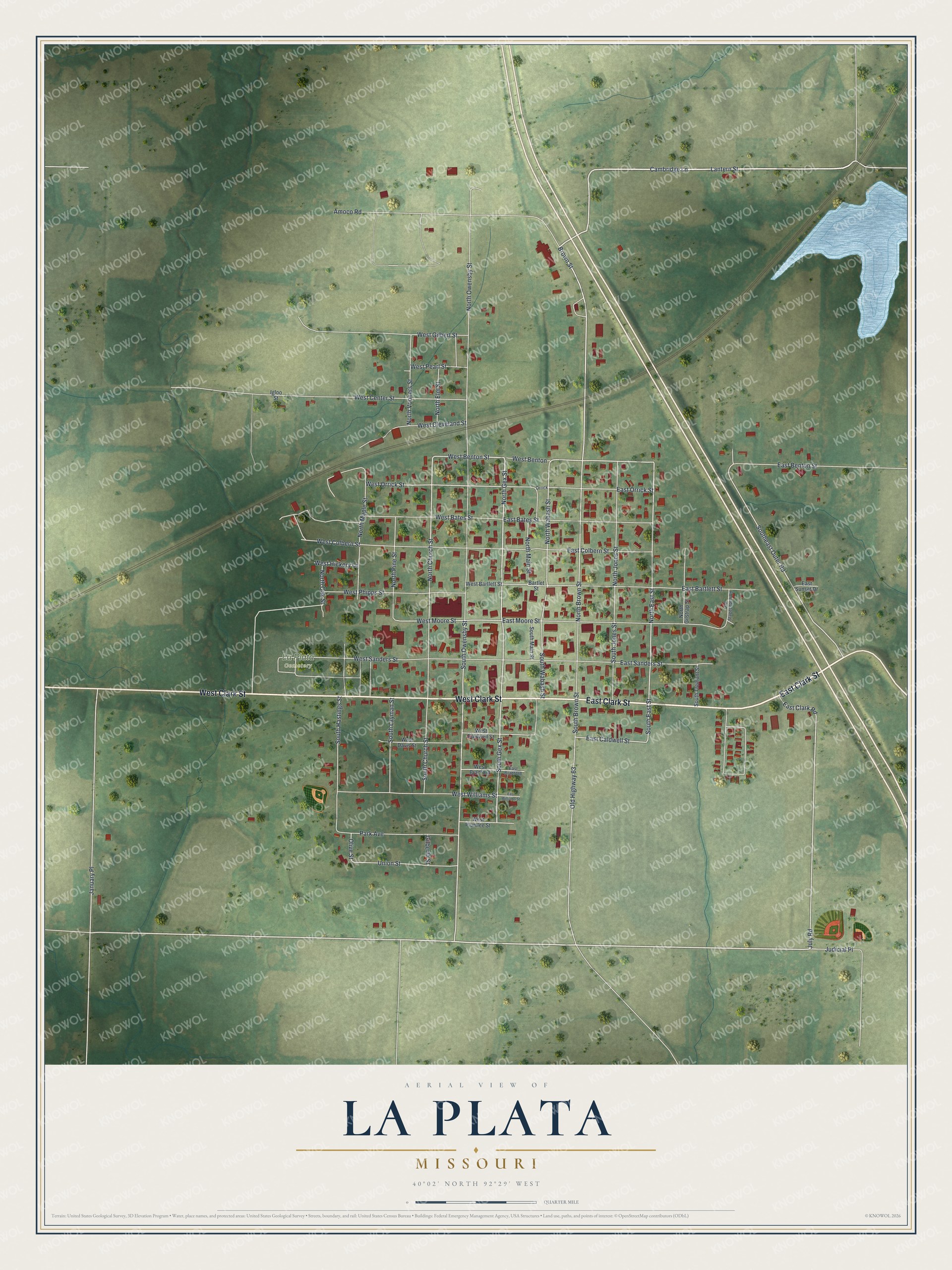
Created by KNOWOL in 2026, this print shows La Plata from above in soft greens, with red buildings, gray streets and a pale blue lake. The title panel at the bottom reads "AERIAL VIEW OF LA PLATA, MISSOURI" with the coordinates 40°02' NORTH 92°29' WEST.
It fits a living room, a kitchen, an office or a front hall. It's a good gift for someone who grew up near West Clark Street, or for a family member who moved away and still calls La Plata home. Open the preview and find the street you know best. See sizes and frames for the La Plata map.