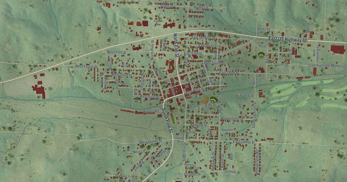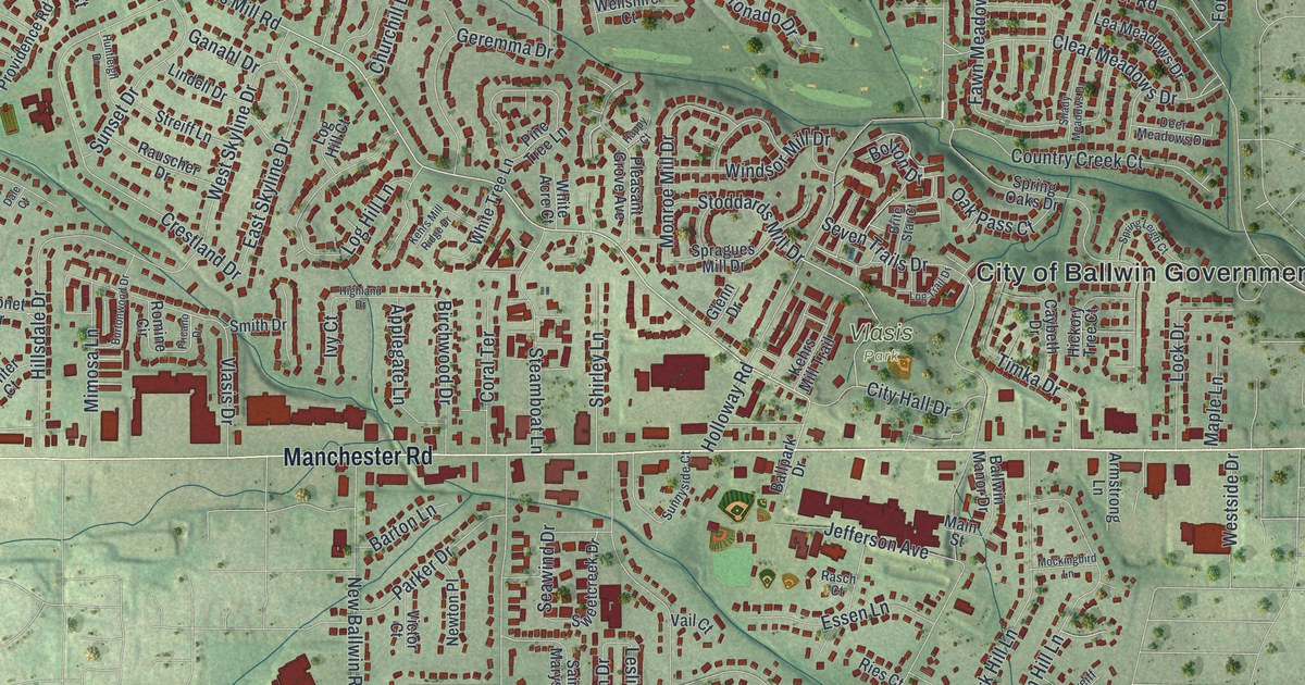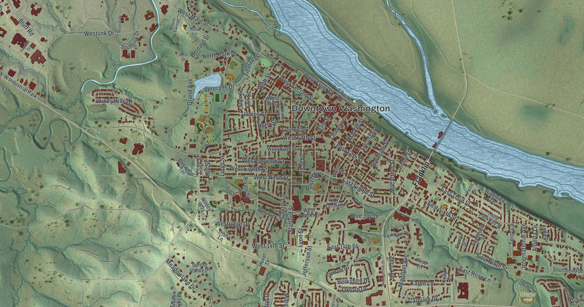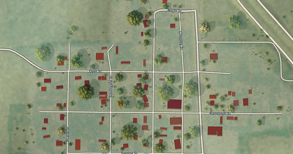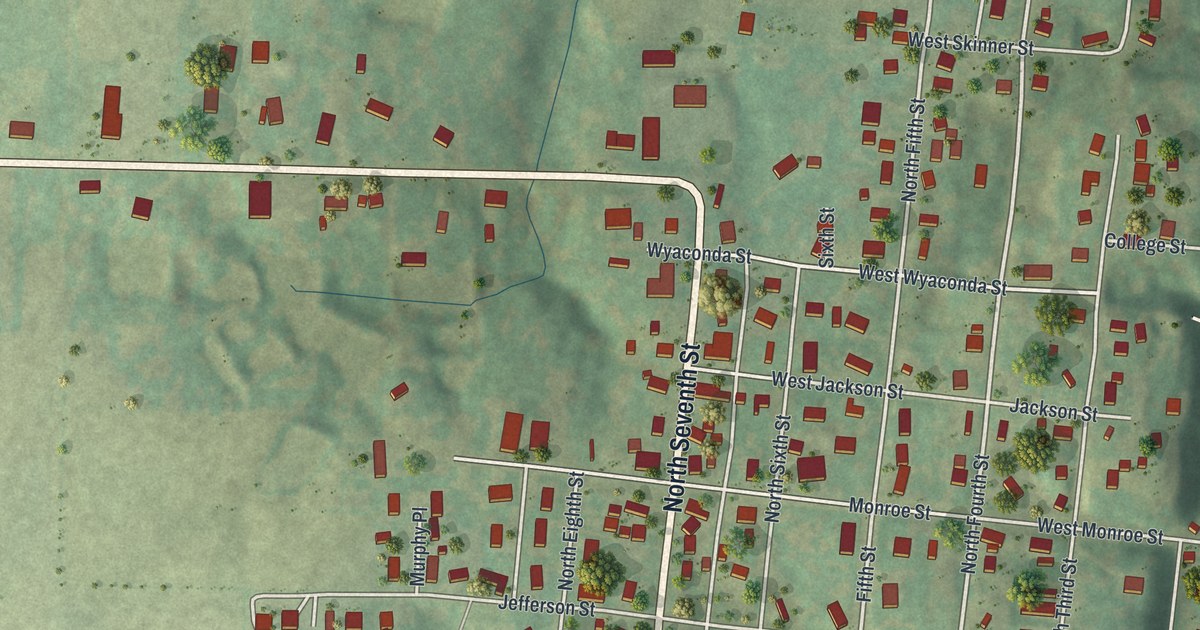
If you grew up on Washington Street or went to church on Jefferson Street, this map will feel like home. It's a new aerial view of La Grange in Lewis County, Missouri, made from modern data and shaded to show the hills, with a vintage feel. The town's streets sit between green, rolling hills and the water. A wide blue river runs down the whole right side, and a creek curls across the top. You can count 597 red buildings on the sheet.
How La Grange got its start in 1832
On this map you'll find North Main Street, South Main Street, Washington Street, West Washington Street, Jefferson Street, Monroe Street, Wyaconda Street, Lewis Street, Front Street, Wharf Street, College Street, Henderson Lake Drive, North Seventh Street, Riverview Cemetery, and more. Each red shape is a building, so zoom in on the preview and look for yours.
An 1887 Goodspeed county history tells about an early mill in this part of Lewis County. The mill was soon washed away by backwater. No one ever built it again. Then, in 1832, the town of La Grange was started just below it. That makes the town close to 200 years old. On the map, North Main Street and South Main Street run close to the blue river along the right edge.
First Presbyterian Church and six old homes
Seven places in La Grange are on the National Register of Historic Places. One is First Presbyterian Church at 401 Jefferson Street. The other six are homes. Five were listed in 1999: the Fred Rhoda House on Second Street, the A.C. Waltman House on Lewis Street, the Dr. J.A. Hay House and the John McKoon House on West Monroe Street, and the William Gray House on Washington Street. The Joseph Hipkins House on South Third Street was added in 2008. The church joined the list in 2012. You'll find Jefferson Street, Lewis Street and West Monroe Street printed near the middle of town.
Washington Street and Riverview Cemetery on your wall
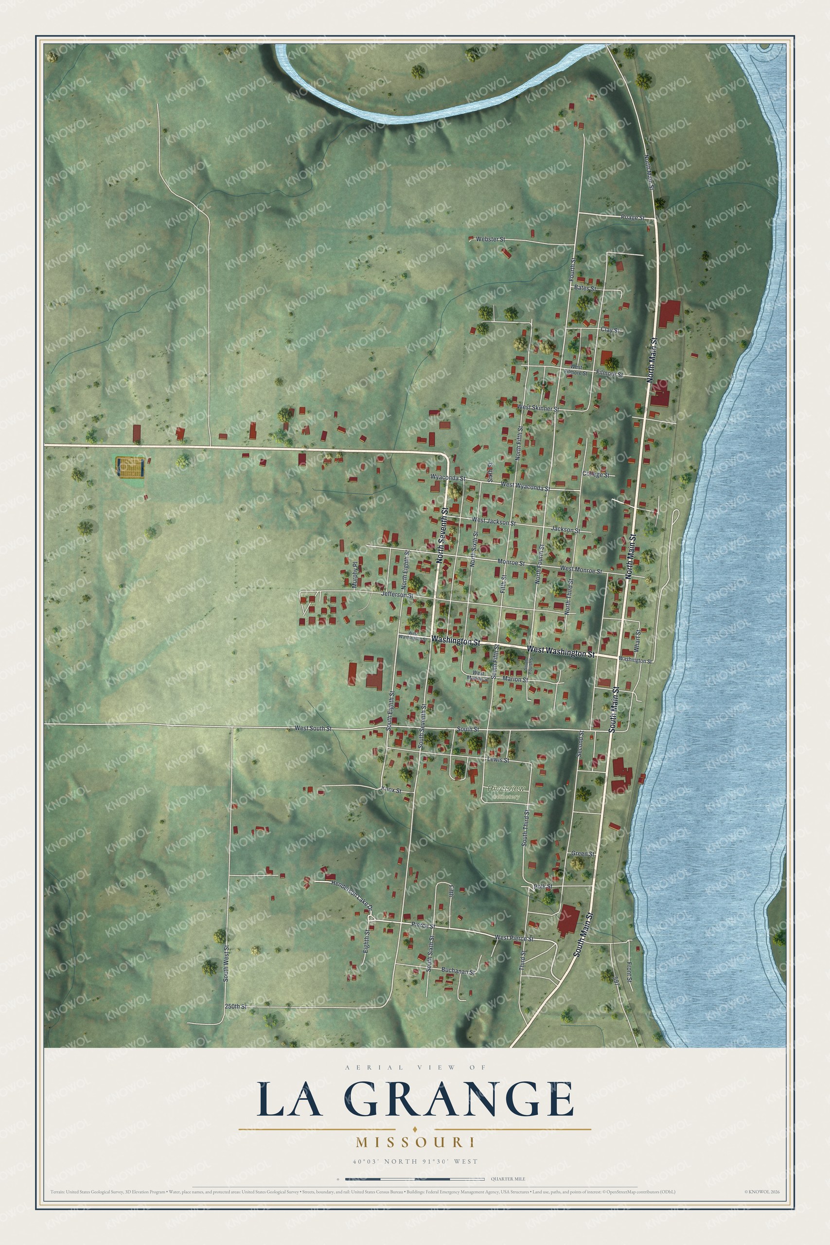
Created by KNOWOL in 2026, this print shows La Grange in soft greens with shaded hills, red buildings, white streets and a blue river. The title panel reads "Aerial View of La Grange, Missouri" with the coordinates 40°03' North 91°30' West.
It fits a living room, a front hall or a home office. It's a good gift for someone who grew up near First Presbyterian Church or who moved away from Lewis County. Open the preview and find your street. See sizes and frames for the La Grange map.