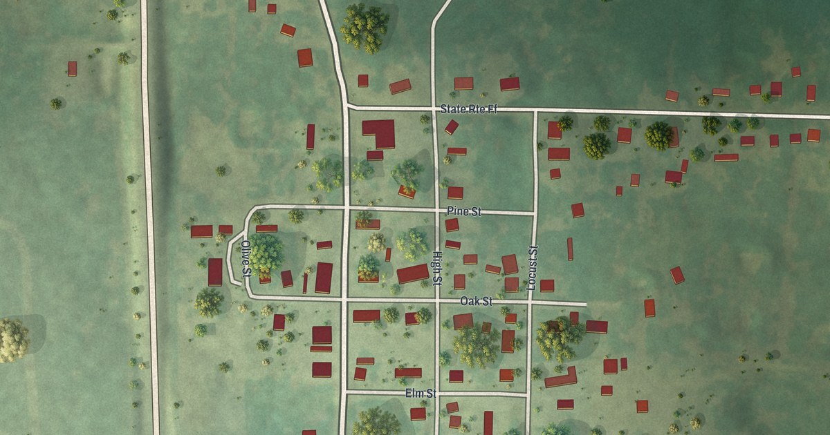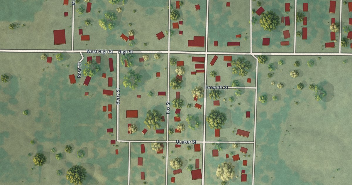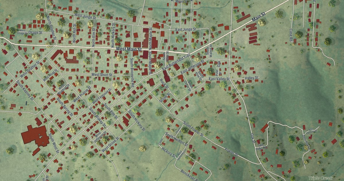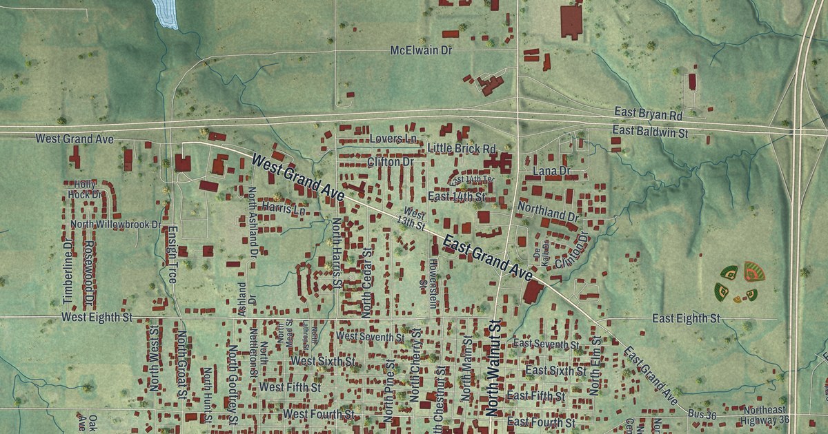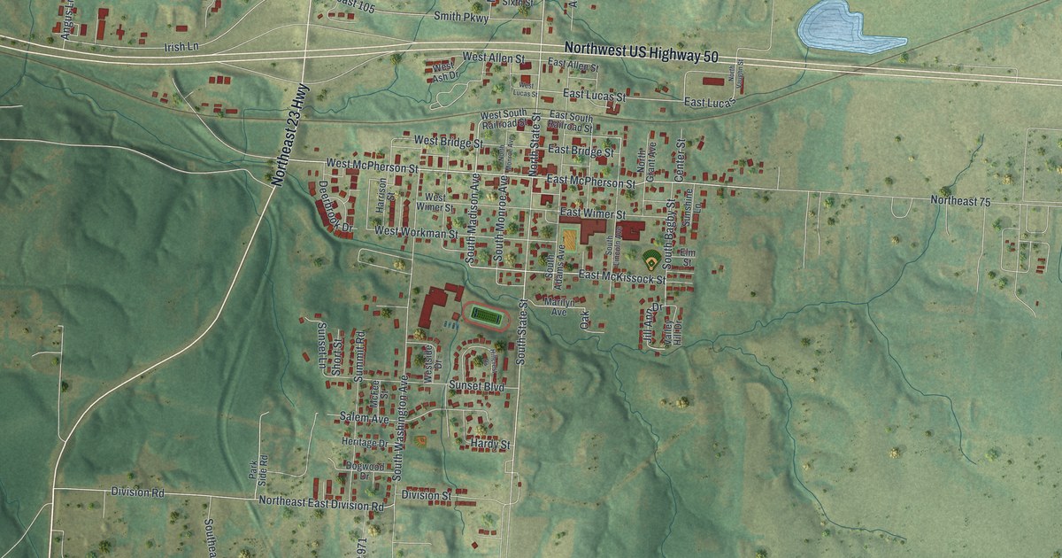
If you grew up near State Street, or your family still calls Knob Noster home, this map is for you. It's a modern aerial view of Knob Noster in Johnson County, Missouri, made with modern data and given a vintage look. You'll see Northwest US Highway 50 cross the sheet, the close blocks around State Street and McPherson Street, and green hills cut by creeks all around town. A winding stream runs down the left side, and small lakes shine blue in the fields.
Knob Noster, laid out in 1856
On this map you'll find North State Street, South State Street, East McPherson Street, West McPherson Street, East McKissock Street, West Bridge Street, East Lucas Street, West Allen Street, South Madison Avenue, South Washington Avenue, Northwest US Highway 50, Northeast 23 Highway, Smith Parkway, Division Road, and more. Each red shape is a building, so zoom in on the preview and look for yours.
The State Historical Society of Missouri keeps an old file of place names for Johnson County. It calls Knob Noster a town in the eastern part of Washington Township. It also says the town was laid out in 1856. That's about 170 years ago. On the map, the tightest blocks sit around State Street, McPherson Street and Wimer Street. That's where the red buildings crowd closest together.
The Montserrat sites southwest of Knob Noster
Southwest of town, the National Register of Historic Places lists five pieces of the Montserrat Recreational Demonstration Area. They were added in March 1985. There's a Rock Bath House, a dam and spillway, a bridge, an entrance portal, and a warehouse and workshop. The Rock Bath House and the dam and spillway are listed southwest of Knob Noster, and all five sites fall inside the edges of this map. The green, rolling land west and southwest of the town blocks is that same country.
Knob Noster from Highway 50 to Division Road
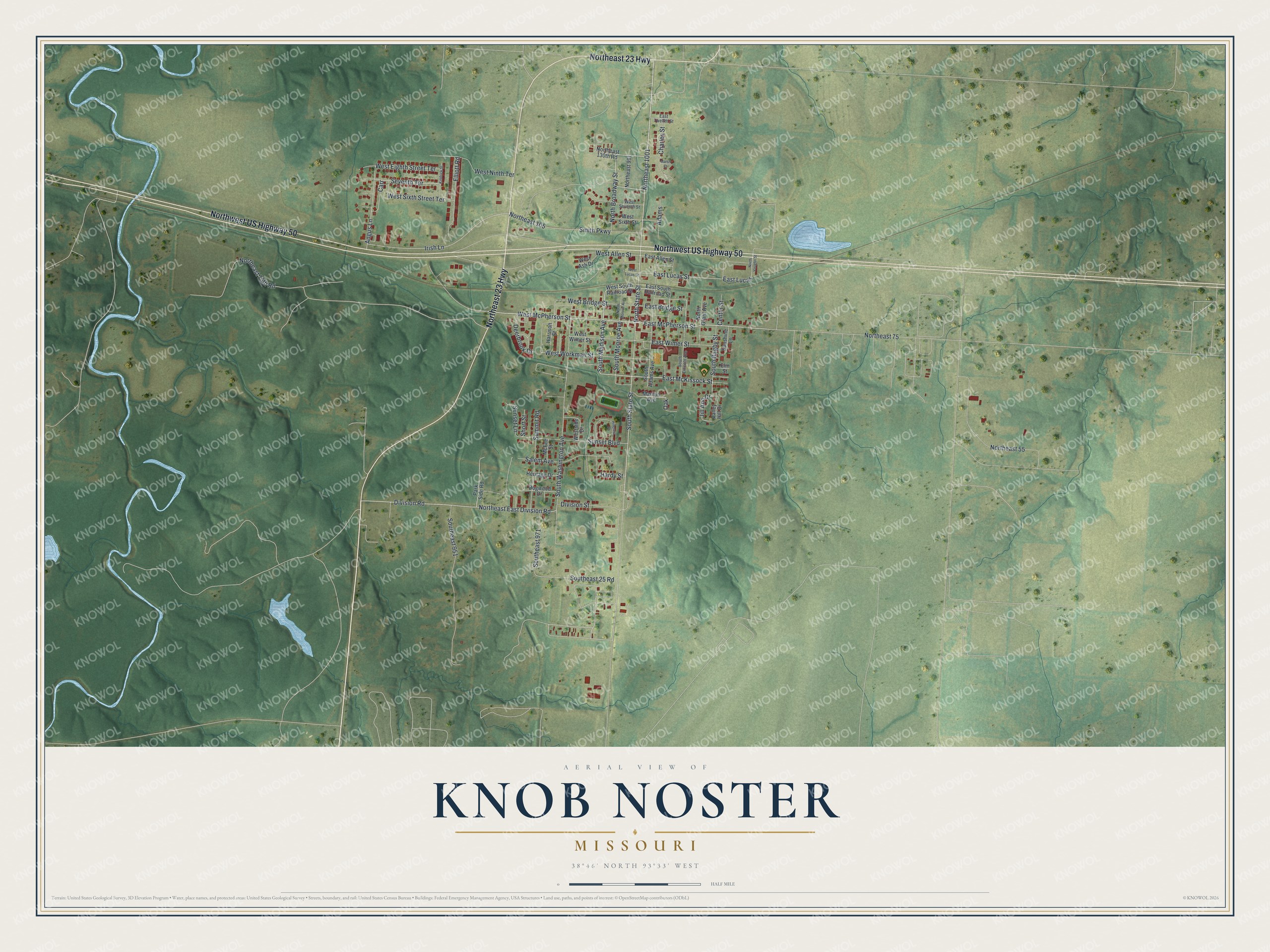
Created by KNOWOL in 2026. The print shows the land in soft greens, with hills shaded from USGS elevation data, creeks and lakes in blue, and buildings in red. The title panel reads "Aerial View of Knob Noster, Missouri" with the coordinates 38°46' North 93°33' West.
It fits a living room, a hallway, a den or an office. It's a good gift for anyone who grew up on State Street or moved away from Johnson County and still misses home. Open the preview and find the blocks you know. See sizes and frames for the Knob Noster map.