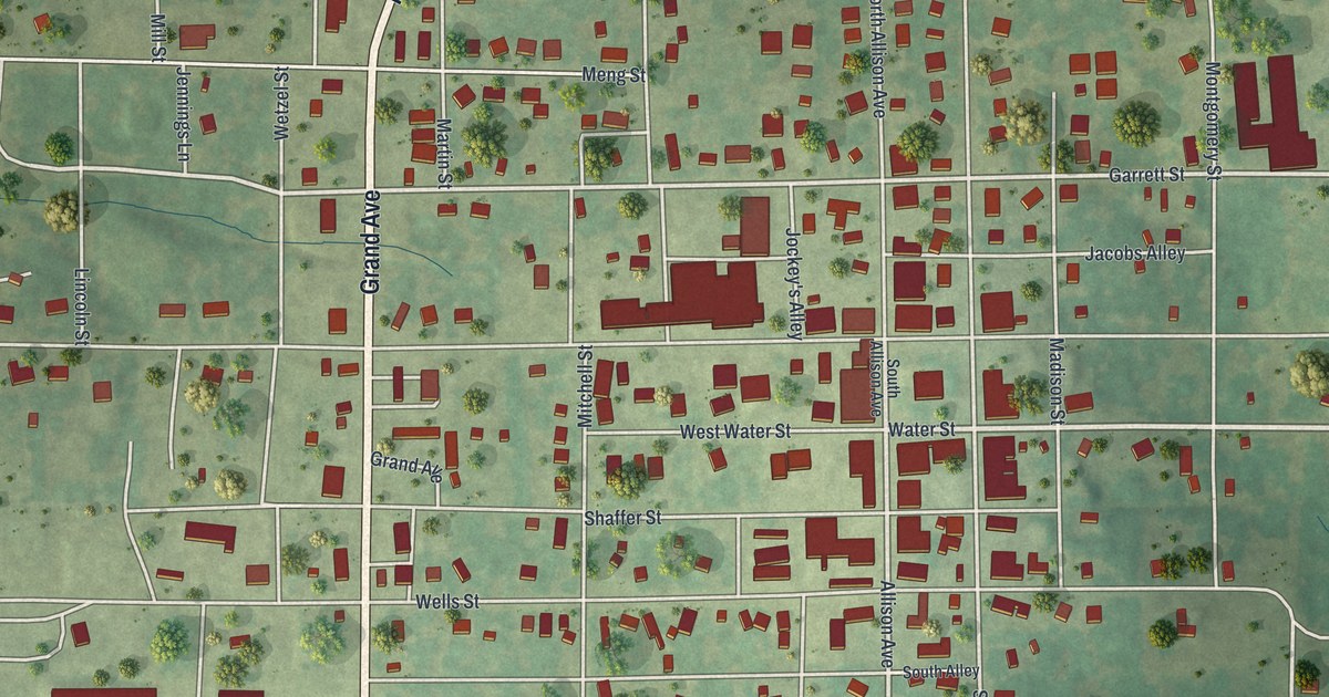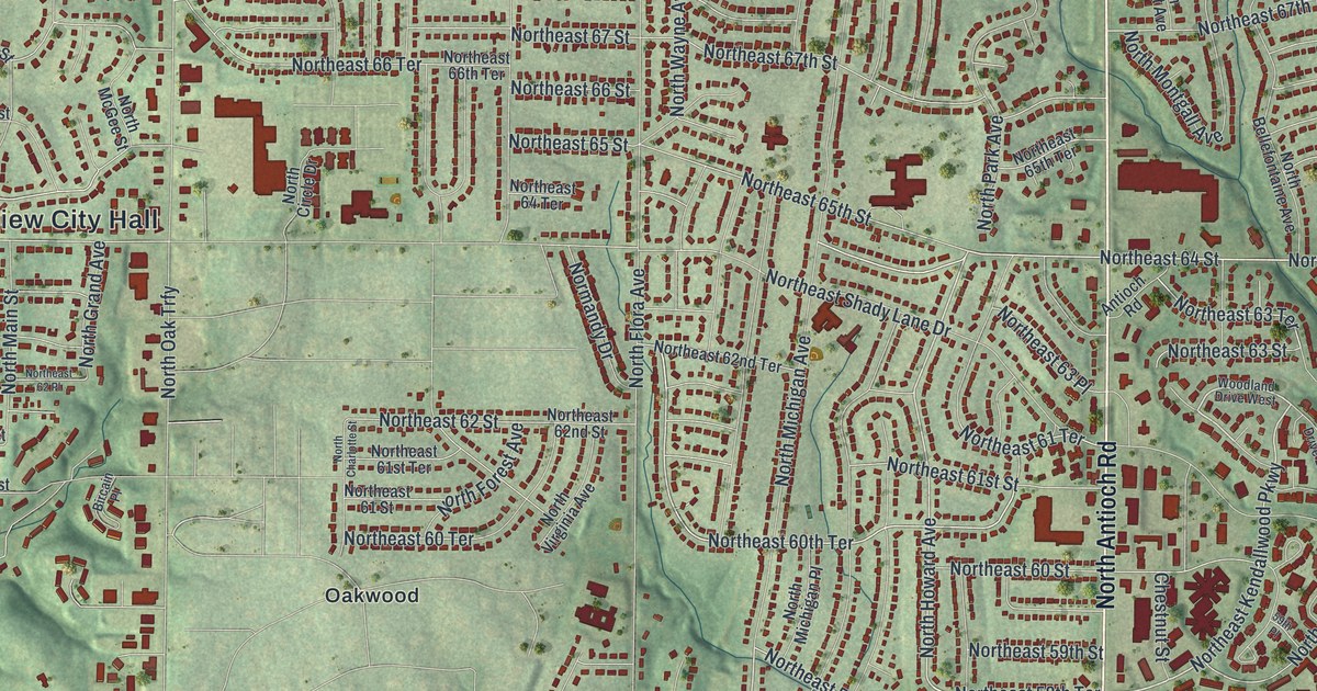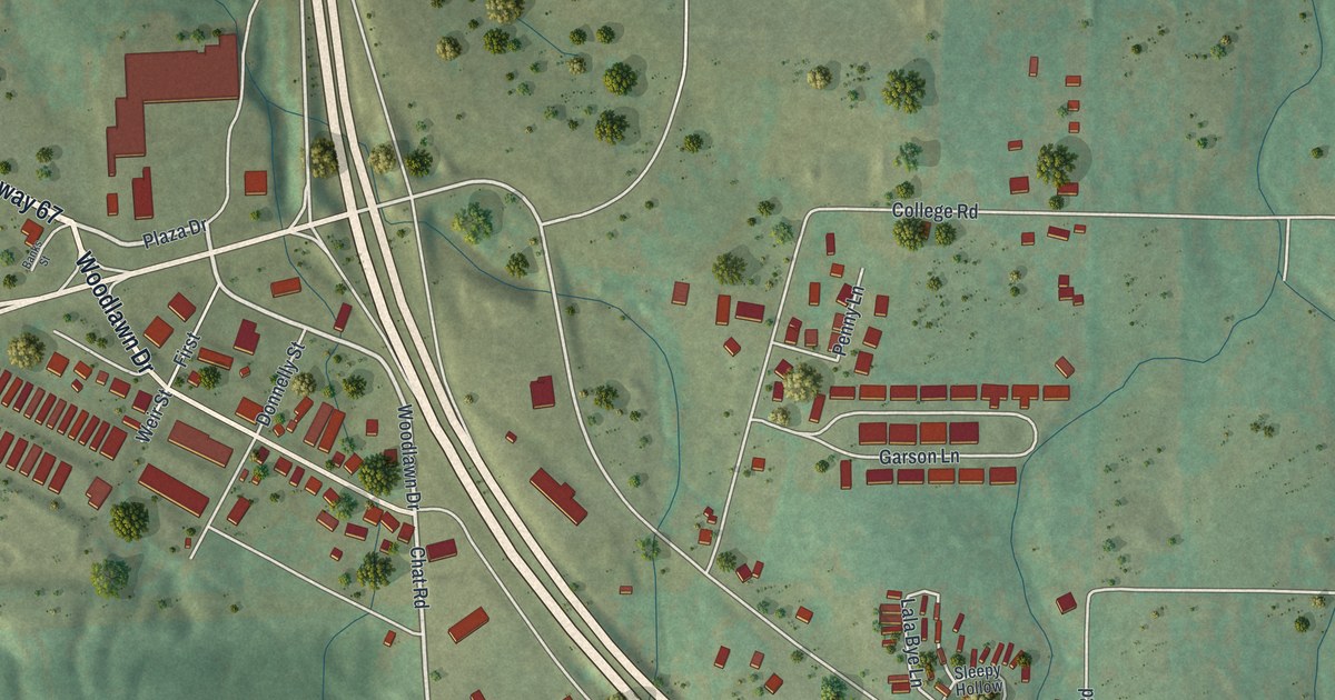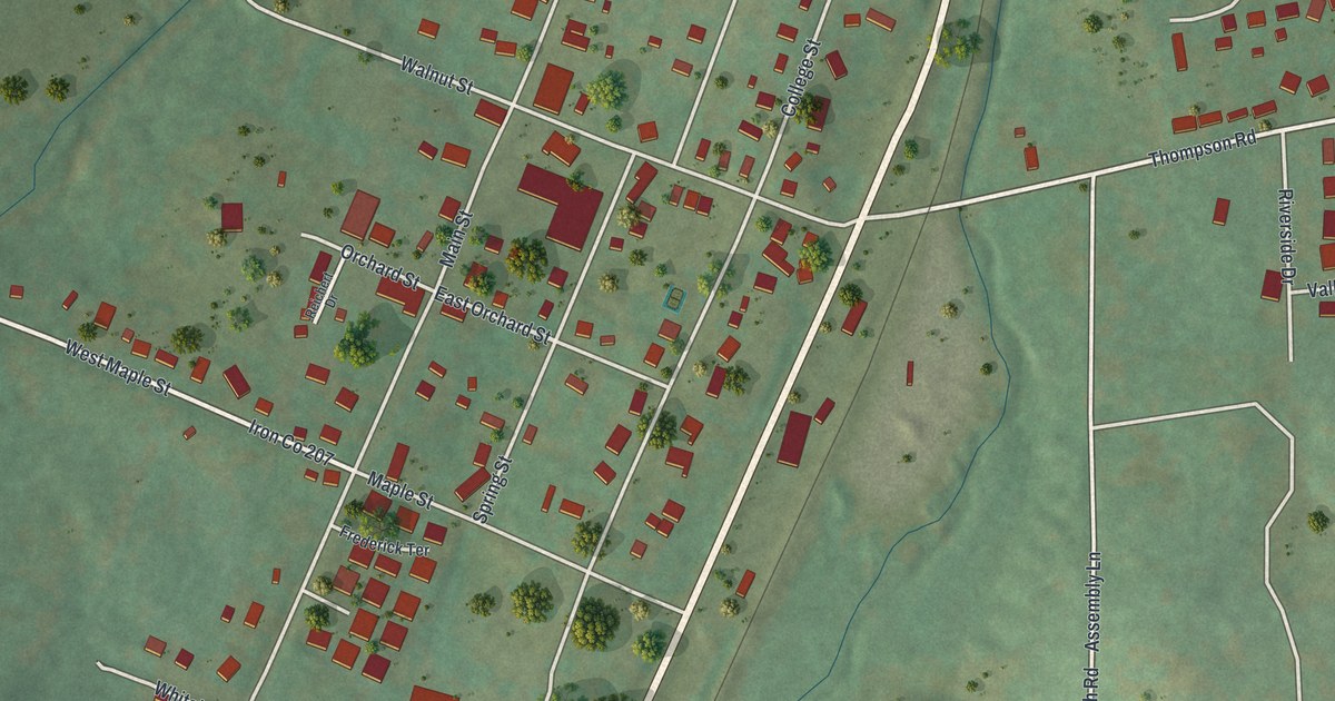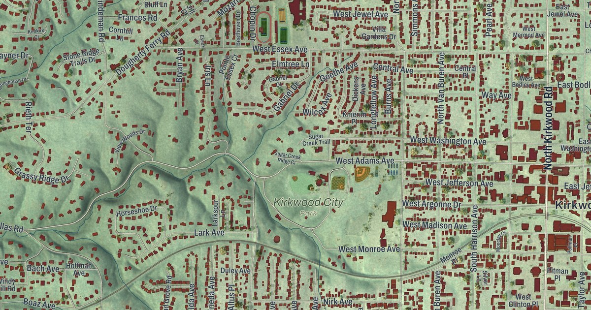
If you grew up in Kirkwood, or your family still lives near Kirkwood City Hall, this map was made with you in mind. Built from modern data with a vintage feel, it's an aerial view of Kirkwood in St. Louis County, Missouri. The hills are shaded in soft green. More than 18,000 small red shapes mark the homes, schools and shops. A rail line crosses the middle of town, and a wide blue river curves through the lower left corner.
Streets and parks around Kirkwood City Hall
On this map you'll find Manchester Road, North Kirkwood Road, South Kirkwood Road, West Argonne Drive, East Monroe Avenue, North Geyer Road, Big Bend Road, Kirkwood City Hall, Kirkwood City Park, Oak Hill Cemetery, Meacham Park, Osage Hills, Greentree Park, Emmeneger Nature Park, Windsor Springs, and more. Each red shape is a building, so zoom in on the preview and look for yours.
How Kirkwood got its railroad name
The State Historical Society of Missouri keeps an old file of town names. It was gathered between 1928 and 1945. That file says the town was named for a man named Kirkwood, the first chief engineer of the Missouri Pacific Railroad. You can see the rail line on the map. It runs right past Kirkwood City Hall. The Kirkwood Missouri Pacific Depot sits at West Argonne Drive and Kirkwood Road. It was added to the National Register of Historic Places in 1985.
The old houses of East Argonne Drive and East Monroe Avenue
Many old homes on East Argonne Drive and East Monroe Avenue are on the National Register too. In 2002, 15 Kirkwood houses were listed. Five of them are on East Argonne Drive. In 2004, the blocks between East Madison Avenue, South Holmes Street, Scott Avenue and Smith Street became the East Monroe Historic District. Olive Chapel African Methodist Episcopal Church, on South Harrison Avenue, was listed that same year. The J. Milton Turner School, on Meacham Avenue, was listed in 2002.
From Manchester Road to Meacham Park
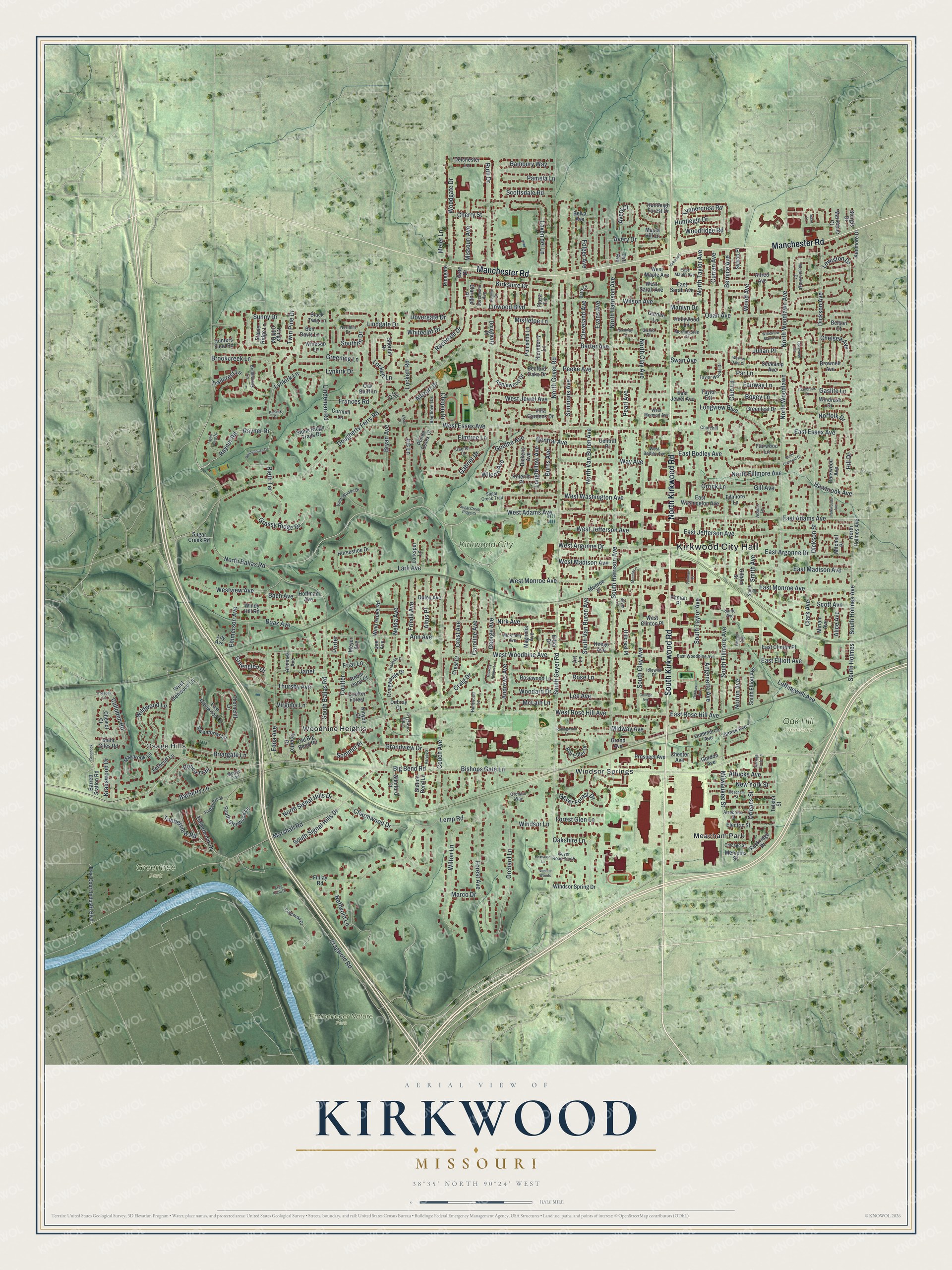
Created by KNOWOL in 2026, the print shows Kirkwood from above, with green shaded hills, red buildings and a cream title panel at the bottom. The panel reads Aerial View of Kirkwood, Missouri, with 38°35' North 90°24' West set below the name.
It fits well in a living room, a hallway or a home office. It's a good gift for anyone who moved away from Kirkwood, or who grew up near Kirkwood City Park. Open the preview and find your street. See sizes and frames for the Kirkwood map.