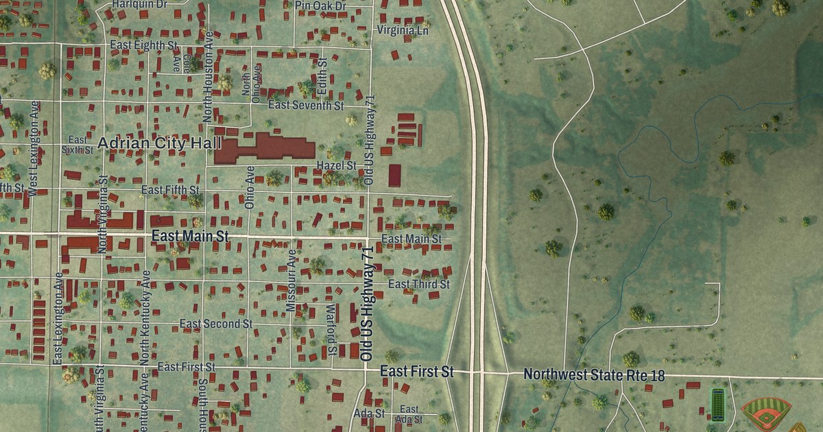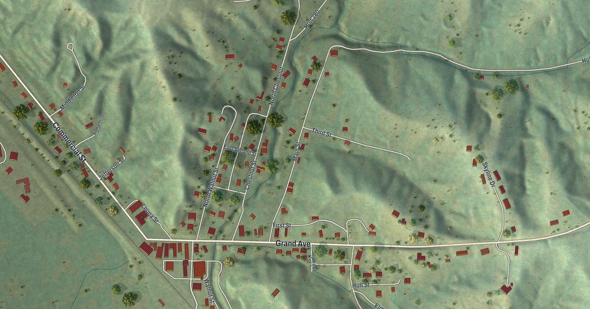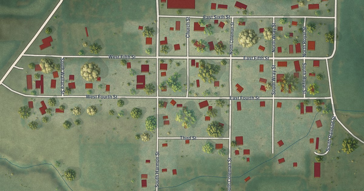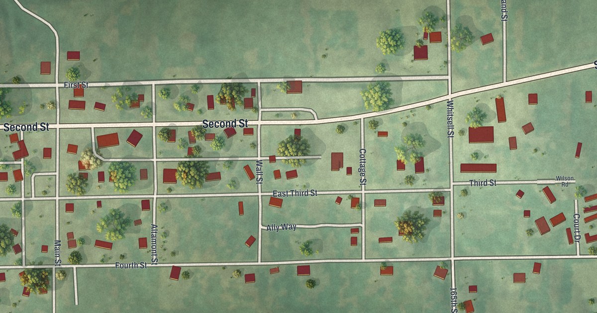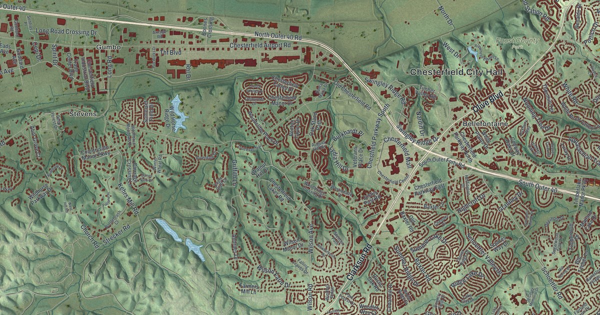
If you grew up in Chesterfield, this print gives you a new look at home. It's a modern aerial view with a vintage feel, using modern data to show Chesterfield in St. Louis County, Missouri. A broad blue river curves past flat land and green hills. Red buildings fill the winding streets, with Chesterfield City Hall named among them.
Chesterfield's potato story
On this map you'll find Olive Boulevard, Clarkson Road, Baxter Road, Chesterfield Airport Road, Wild Horse Creek Road, Conway Road, Clayton Road, Kehrs Mill Road, Chesterfield City Hall, Gumbo, Bellefontaine, Monarch, and more. Each red shape is a building, so zoom in on the preview and look for yours.
Chesterfield once lent its name to a potato. The historic Ramsay Place Names File says Chesterfield potatoes were named for this place and made it famous. On the print, that name stands out in the title panel. You'll also find it on Chesterfield Airport Road among today's streets and buildings.
Chesterfield City Hall and the streets of home
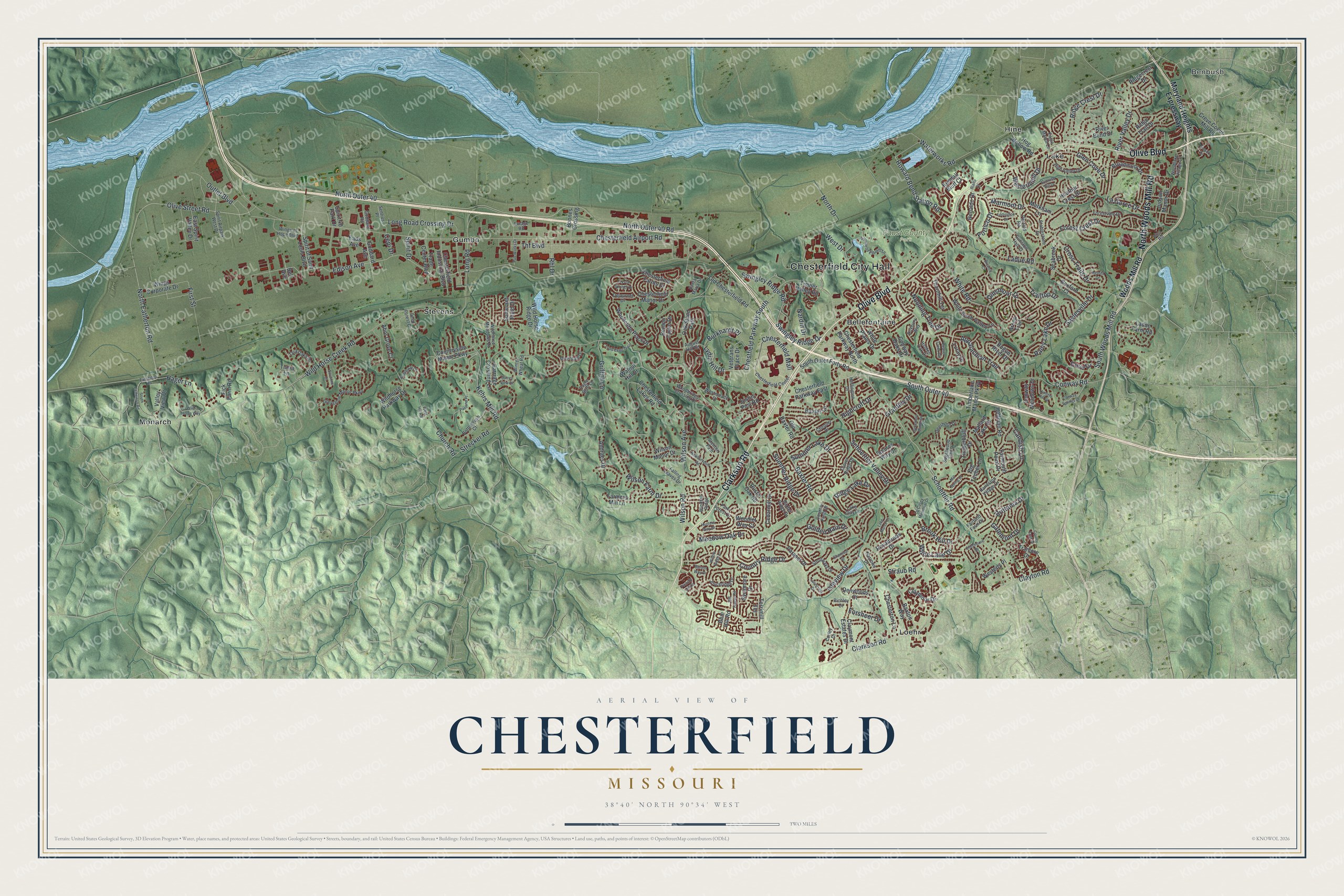
Created by KNOWOL in 2026, the print pairs green shaded hills with blue water and red buildings. A cream border surrounds the view. The title panel reads AERIAL VIEW OF CHESTERFIELD, MISSOURI, with 38°40' NORTH 90°34' WEST below.
Hang it in a living room, office, or entryway to keep home close. It's a thoughtful gift for someone who grew up near Olive Boulevard and moved away. Open the preview and look for the streets you know. See sizes and frames for the Chesterfield map.