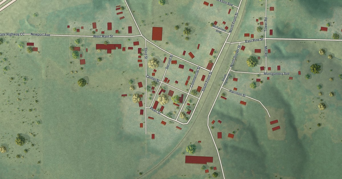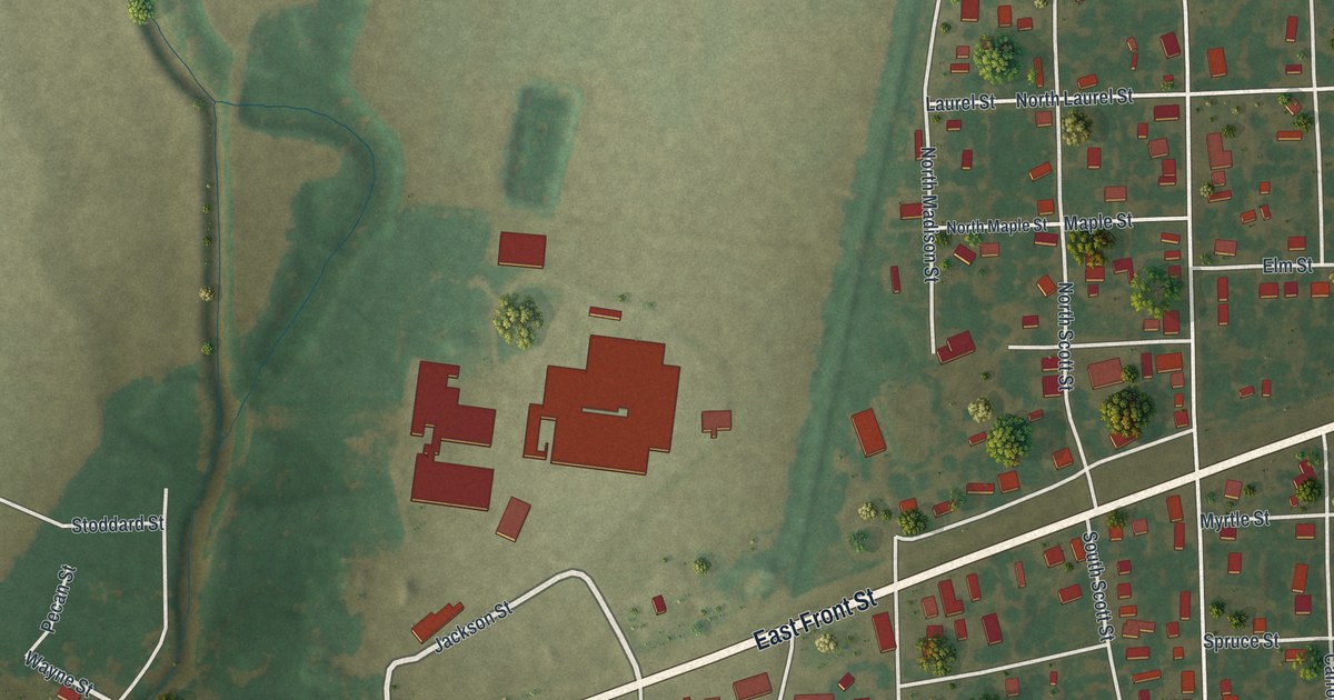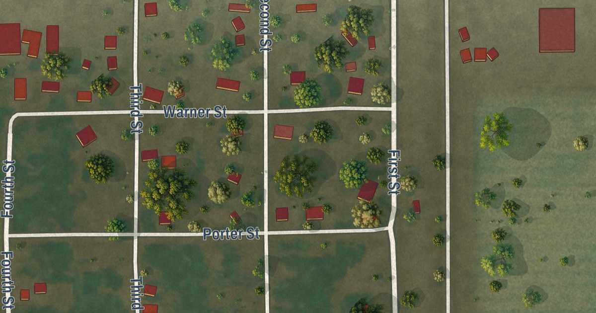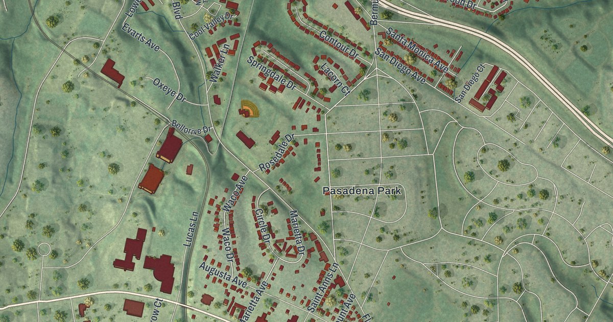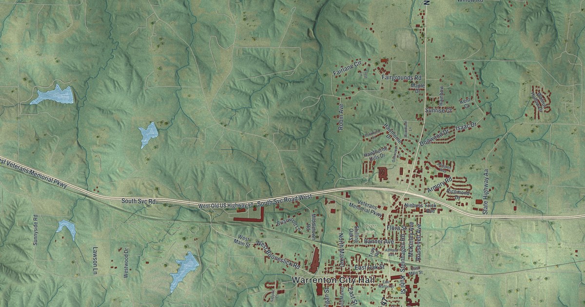
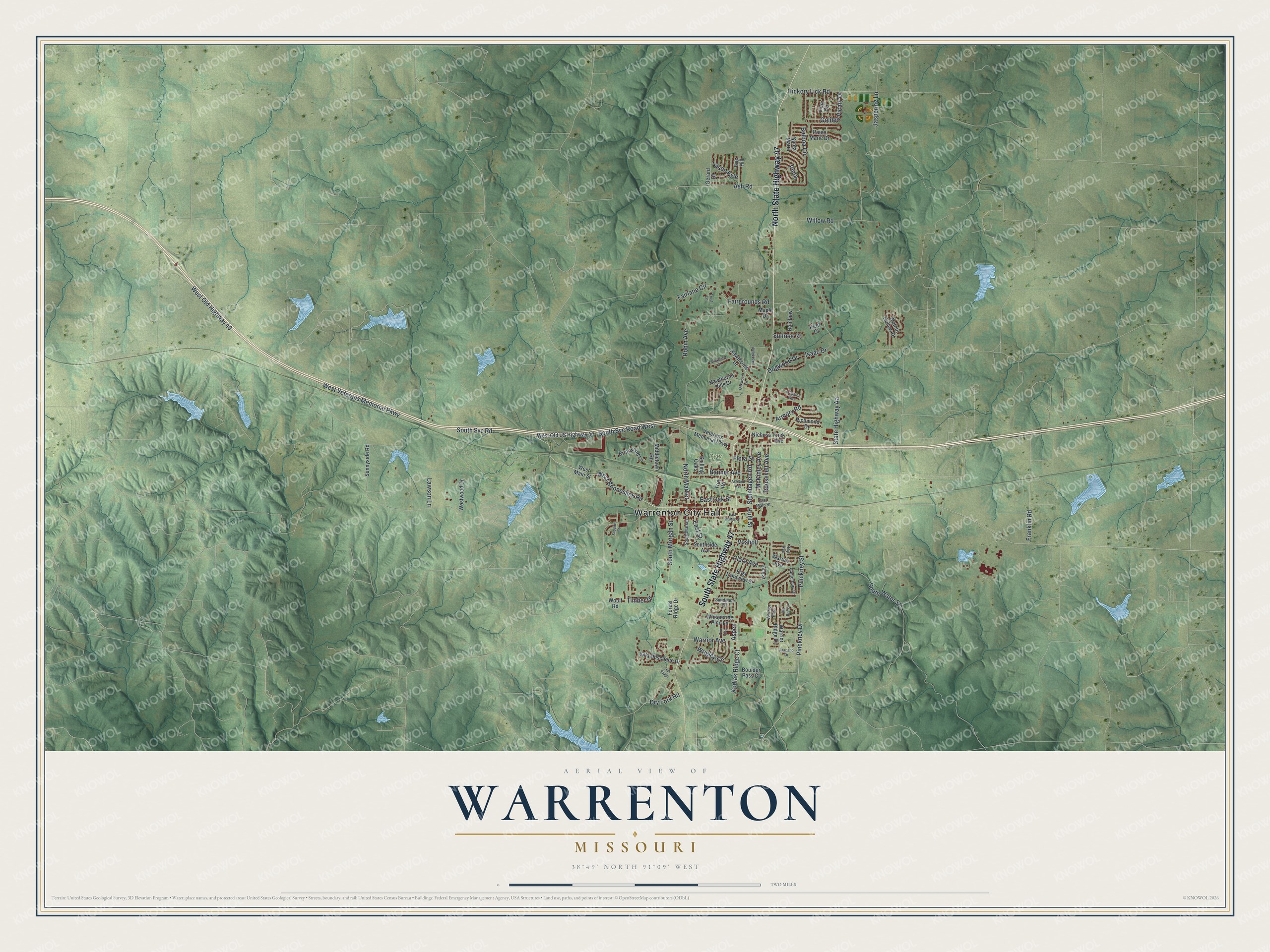
This beautifully detailed map of Warrenton, Missouri was created in 2026 using aerial imagery combined with modern topographical, census, street and landmark data. It’s a one-of-a-kind view of Warrenton that combines accurate data with a vintage aesthetic. The map shows every building in its true location, many of the roads carry their names, and the shaded topographic relief shows the shape of the land.
Explore an aerial view of Warrenton, Missouri
On the map you’ll find Warrenton City Hall and Dyer Park, along with North State Highway 47, South State Highway 47, South Svc Road, South Svc Road West, West Booneslick Road, Pinckney Drive, West Old Highway 40, Warrior Avenue, Clara Avenue, West Veterans Memorial Parkway, and more. If you look closely you can even find your house accurately drawn in its correct location. Zoom in on the preview to look for yours.
Did you know this piece of Warrenton, Missouri history?
When Warren County was organized in 1833, a bitter fight broke out over the county seat. Commissioners first picked New Boston, near Hopewell. But clerk Carty Wells refused to move his records out of Mordecai Morgan’s house in Warrenton. In 1835 new commissioners accepted land from Morgan and Henry Walton, and voters backed Warrenton in 1836. That’s from the 1885 History of St. Charles, Montgomery, and Warren Counties, Missouri.
Take a closer look at the Warrenton map
Street and place names on the Warrenton, Missouri map
These names are printed on the map of Warrenton, Missouri.
Places: Warrenton City Hall and Dyer Park.
Streets and roads: North State Highway 47, South State Highway 47, South Svc Road, South Svc Road West, West Booneslick Road, Pinckney Drive, West Old Highway 40, Warrior Avenue, Clara Avenue, West Veterans Memorial Parkway, Fairlane Circle, State Highway Aa.
More street names, A to Z
Arapaho Drive, Arlington Way, Armory Road, Ashland Avenue, Ash Road, Aspen, Balboa Circle, Banner Avenue, Big Red Court, Boulder Pass Court, Briarwood Lane, Buckhorn Court, Canterbury Drive, Dogwood Drive, Dry Fork Road, East Lakeview Street, East Main Street, East Oak Street, East Street, East Walton Street, Eric Hill, Fairgrounds Road, Fifth Street, Flora Street, Forest Ridge Drive, Franklin Road, Frick Avenue, Gerard Drive, Golden Vicary Drive, Hawthorne Drive, Hawthorne Hills Drive, Hickory Lick Road, Isaac Drive, Jason Kyle, Jaspering Lane, Kent Court, Kodiak Ridge Court, Kuhl Street, Lawson Lane, Lilac Circle, Maple Drive, McKinley Avenue, Middletown Road, Niehuss, North Market, Oak Ridge, Oakwood Lane, Paige Marie Drive, Pinckney Street, Pine Avenue, Pinta, Rainbow, Richmond Drive, Robin Avenue, Roosevelt Avenue, Roy Avenue, Santa Maria, Sappire Court, Shilling Oaks, South Market, South Morgan Street, Southside Avenue, South Water Street, Steinhagen Road, Sundance Drive, Sunnyside Road, Sunrise Court, Timber Drive, Trost Lane, Troy Road, Veterans Memorial Parkway, Villa Duschene Drive, Vosholl, Walnut Hollow Drive, Warren Avenue, Warrior Pass, Warrior Ridge Drive, West Main Street, West Old US Highway 40, Westwood Drive, Whispering Pine Lane, Willow Road, Woodland Lane, Woolf Road, Wrigley Circle.
See the Warrenton, Missouri map on a wall
The Warrenton map as an 18 x 24 inch print in a black frame.

This beautifully detailed map of Warrenton makes an attractive addition to your office, library, or den, and it can even be used to teach children the geography and history of the area. It also makes a great gift for someone who left Warrenton and still calls it home. When you’re done exploring, click here to get your copy of the Warrenton map.