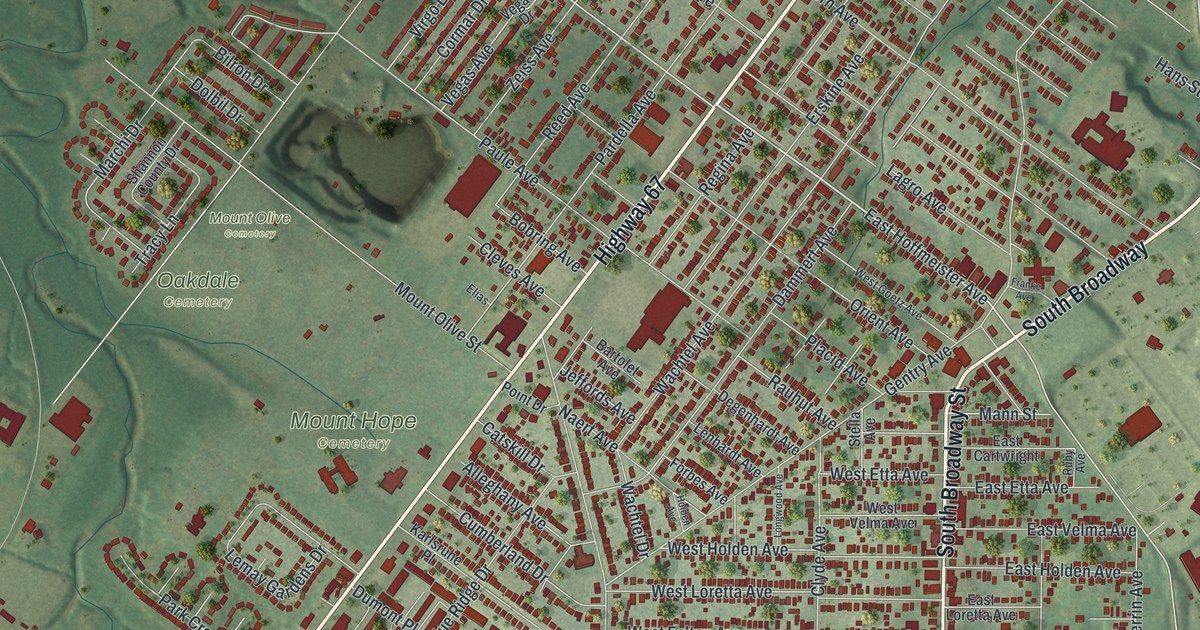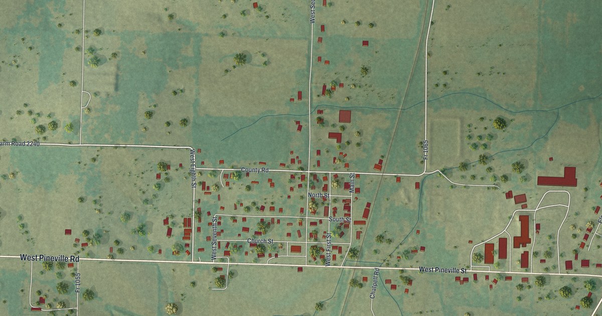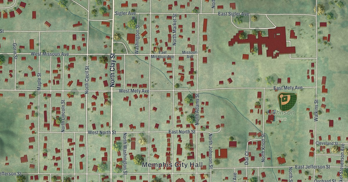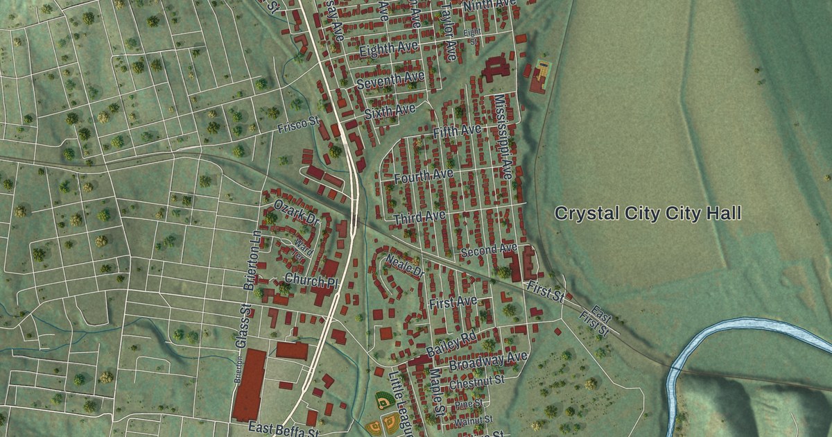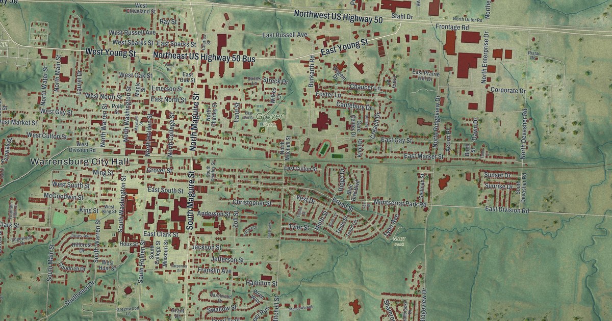
This beautifully detailed map of Warrensburg, Missouri was created in 2026 using aerial imagery combined with modern topographical, census, street and landmark data. It’s a one-of-a-kind view of Warrensburg that combines accurate data with a vintage aesthetic. The map shows every building in its true location, many of the roads carry their names, and the shaded topographic relief shows the shape of the land.
Explore an aerial view of Warrensburg, Missouri
On the map you’ll find Warrensburg City Hall, Cave Hollow Park, Grover Park, Lion’s Lake/Culp Park, Marr Park, Sunset Hill Cemetery, and Northeast US Highway 50 Bus, along with East Young Street, North Maguire Street, Northwest US Highway 50, South Maguire Street, West Young Street, and more. If you look closely you can even find your house accurately drawn in its correct location. Zoom in on the preview to look for yours.
Did you know this piece of Warrensburg, Missouri history?
Settlers John and Martin D. Warren founded Warrensburg in 1835 and gave it their last name. A well-known trial concerned the killing of Old Drum, a dog shot in town. In 1958 a statue of the dog went up on the Johnson County Courthouse lawn. It carries a summary of Senator George G. Vest’s closing speech about man’s best friend.
Take a closer look at the Warrensburg map
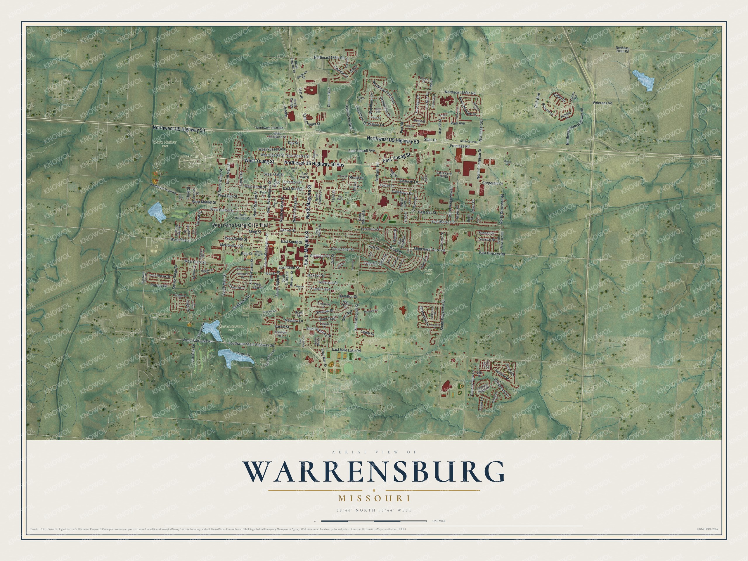
Street and place names on the Warrensburg, Missouri map
These names are printed on the map of Warrensburg, Missouri.
Places: Warrensburg City Hall, Cave Hollow Park, Grover Park, Marr Park and Sunset Hill Cemetery.
Streets and roads: East Young Street, Northeast US Highway 50 Bus, North Maguire Street, Northwest US Highway 50, South Maguire Street, West Young Street, Holden, East North Street, Montserrat Park Road, South Holden Street, North Holden Street, North Devasher Road.
More street names, A to Z
51st Jc, Acorn Place, Anderson Street, Aspen Way, Bedford Drive, Birch Street, Blake Anthony Drive, Blue Bird Boulevard, Brittany, Broad Street, Burkarth Road, Cantebury Drive, Care Center Drive, Carpenter Street, Cedar Court, Cedar Drive, Charles Street, Chaucer Lane, Cheatham Court, Christopher Street, Cooper Boulevard, Corporate Drive, Country Ridge Drive, Country View Lane, Coventry Court, Creach Drive, Crestview, Cypress Court, Darrow Street, Dawn Drive, Deerfield Drive, Deer Run, East Clark Street, East Cooper Street, East Culton Street, East Division Road, East Gay Street, East Hale Lake Road, East Market Street, East Mill Street, East Oak Street, East Prairie Hill Drive, East Russell Avenue, East South Street, East Sparks Street, Edgewood Drive, Eighth Street, Emerson Street, Essex Drive, Fairview Avenue, Fairway Drive, Fawn Lane, First Street, Foster Lane, Fountain Hills Drive, Fourth Street, Foxridge Drive, Fox Run Drive, Franklin Avenue, Frontage Road, Goodrich Drive, Grandview Drive, Grant Drive, Greenwood Lane, Grover Street, Half Day Drive, Hallbrooke Drive, Hamilton Street, Hawthorne Boulevard, Hazelwood Drive, Hidden Pines Lane, High Drive, Hillcrest Drive, Hillmann Lane, Hollandale Drive, Holland Square, Houx Street, Iron Horse Drive, Jackson Street, Jefferson Street, Jones Avenue, Kimberly Drive, Kimmy Lane, King Street, Kismet Drive, Knoll Drive, Land Street, Larkin Court, Larkin Street, Larson Avenue, Laurel Drive, Live Oak Lane, Locust Drive, Maple Street, Maynard Street, McGoodwin Street, Meadowbrook, Meadow Lane, Ming Street, Missouri Street, Ninth Street, Ninth Terrace, North Charles Street, North College, North College Street, Northeast 150th Road, Northeast 175th Road, Northeast 200th Road, Northeast 201, Northeast State Highway Hh, North Enterprise Drive, Northfield Park Boulevard, North Main Street, North Marr Drive, North Mitchell Street, North Outer Road, North Ridgeview Drive, North Simpson Drive, North Warren Street, North Washington Street, North Water Street, Northwest 105th Road, Northwest Tenth Road, Olive Court, Park Avenue, Patrick Road, Pca Road, Pebblecreek Drive, Pembrooke Drive, Pertle Drive, Polk Street, Poplar Street, Post Oak Court, Pride Avenue, Purtle Springs Road, Quail Trail, Ray Street, Regent Drive, Riata Road, Rich Boulevard, Ridge Drive, Roanoke Drive, Rotary Drive, Sandra Court, Second Street, Sellman Street, Shamrock Lane, Simpson Drive, South Charles Street, South College Street, South Devasher Road, South Maguire Terrace, South Main Street, South Marr Drive, South Mitchell Street, South Ridgeview Drive, South Warren Street, South Washington Street, Southwest 101st Road, Southwest Drive, Southwest State Highway Dd, Spring Ridge Drive, Stahl Drive, Stoneybrooke Drive, Streck Drive, Streck Lane, Sunrise Drive, Sunset Drive, Swallow Street, Talon Court, Tenth Street, Tenth Terrace, Terrace Drive, Third Street, Timberline Drive, Tracy Lane, Tyler Avenue, Tyler Street, Vamo Road, Vest Court, Vest Drive, Veterans Road, Villa Drive, Vivian Drive, Walnut Lane, West Clark Street, West Cleveland Street, West Culton Street, West Division Road, West Gay Street, West Hale Lake Road, West Hunt Street, West King Street, West Market Street, West North Street, West Oak Street, West Pine Street, West Russell Avenue, West South Street, West Sparks Street, Wildflower Road, Wilkes Drive, Willow Court, Woodlawn Drive, Wren Way, Zoll Street.
See the Warrensburg, Missouri map on a wall
The Warrensburg map as an 18 x 24 inch print in a black frame.

This beautifully detailed map of Warrensburg makes an attractive addition to your office, library, or den, and it can even be used to teach children the geography and history of the area. It also makes a great gift for anyone with Warrensburg roots. When you’re done exploring, click here to get your copy of the Warrensburg map.