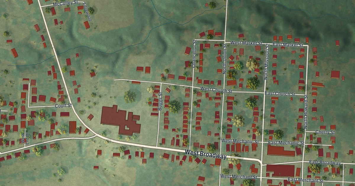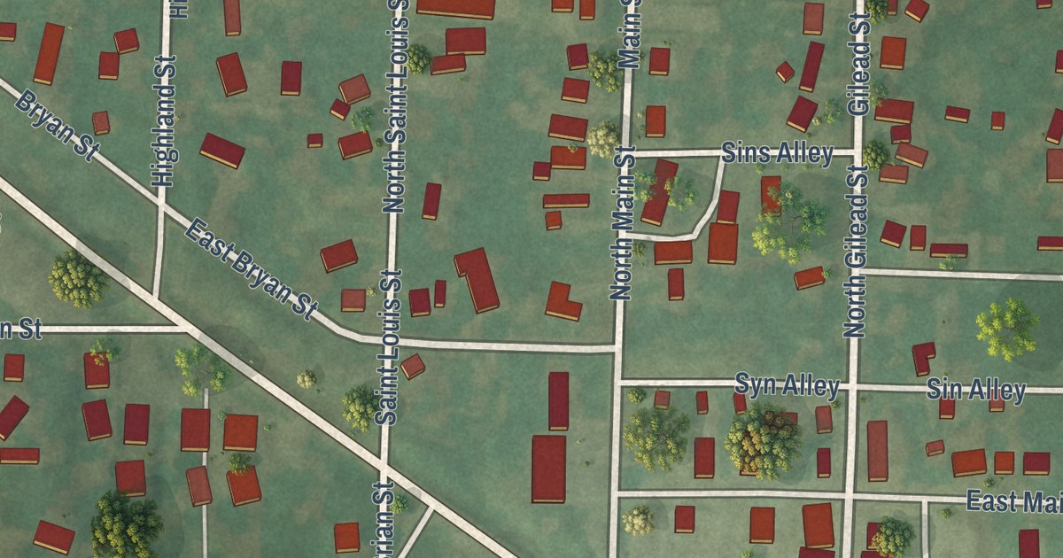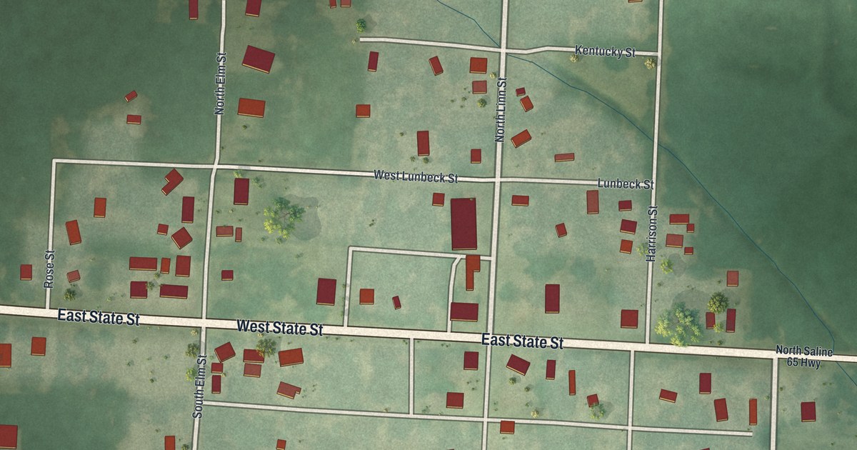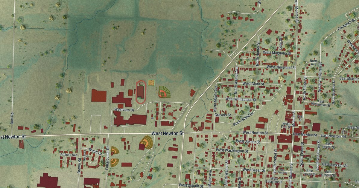
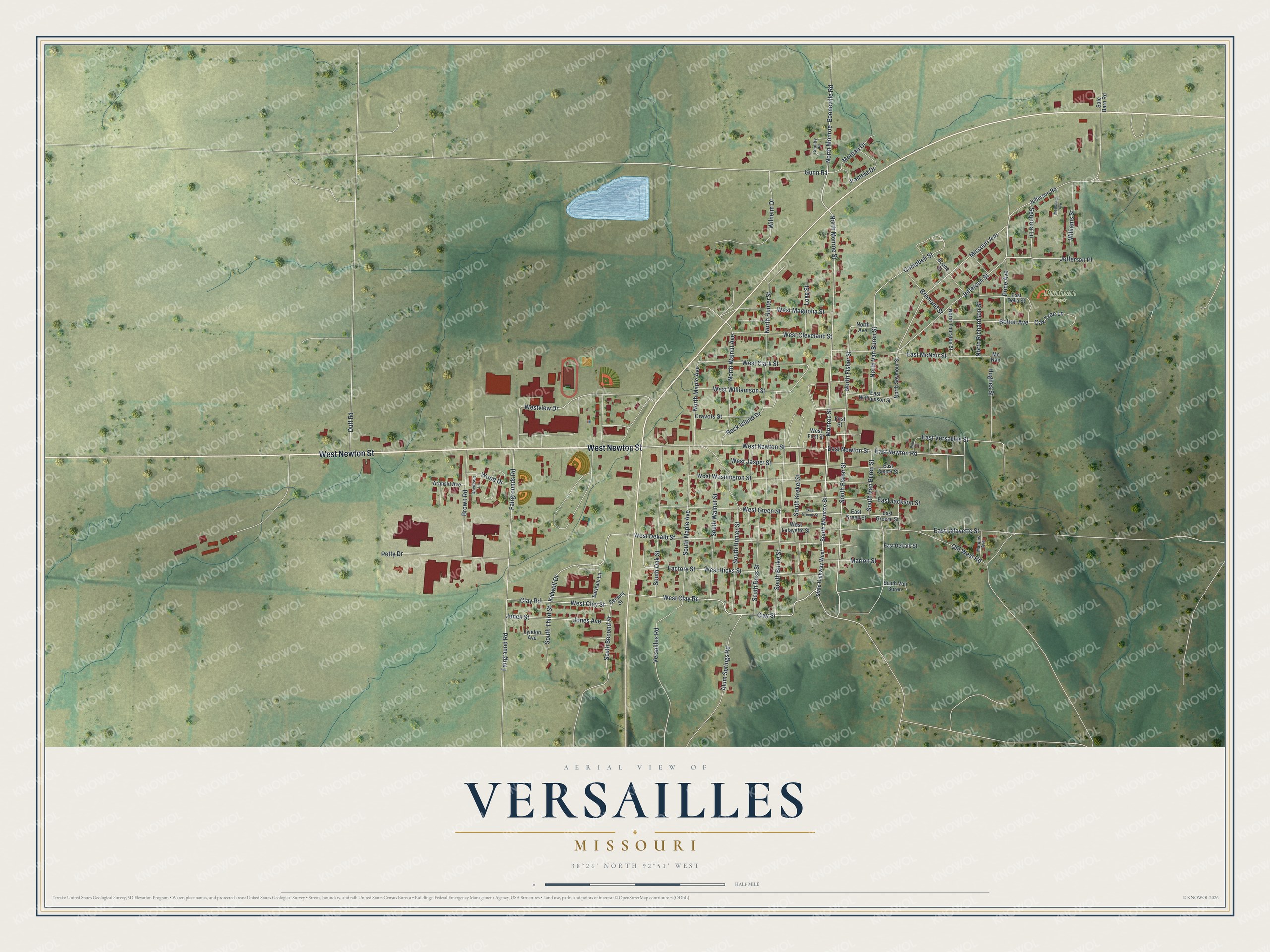
This beautifully detailed map of Versailles, Missouri was created in 2026 using aerial imagery combined with modern topographical, census, street and landmark data. It’s a one-of-a-kind view of Versailles that combines accurate data with a vintage aesthetic. The map shows every building in its true location, many of the roads carry their names, and the shaded topographic relief shows the shape of the land.
Explore an aerial view of Versailles, Missouri
On the map you’ll find Dunham Park and Jefferson Place, along with West Newton Street, North Monroe Street, South Monroe Street, East Newton Road, East Newton Street, Clay Street, South Fisher Street, Price Avenue, Jefferson Street, Missouri Avenue, and more. If you look closely you can even find your house accurately drawn in its correct location. Zoom in on the preview to look for yours.
Did you know this piece of Versailles, Missouri history?
Versailles was named after the royal palace in France. A post office called Versailles opened in 1835, but the town was not laid out until 1854. The Martin Hotel, built in 1853, welcomed guests such as showman P. T. Barnum and outlaw Jesse James. It has operated as a museum since the late 1900s.
Take a closer look at the Versailles map
Street and place names on the Versailles, Missouri map
These names are printed on the map of Versailles, Missouri.
Places: Dunham Park.
Streets and roads: West Newton Street, North Monroe Street, South Monroe Street, East Newton Road, East Newton Street, Clay Street, South Fisher Street, Jefferson Place, Price Avenue, Jefferson Street, Missouri Avenue, Gunn Road.
More street names, A to Z
Alum Springs Road, Arnhold Avenue, Bartram Lane, Bolton Avenue, Boone Street, Booneville Road, Bremond Street, Brown Road, Campbell Street, Clay Road, Country Place, Davidson Lane, Duff Road, East Dekalb Street, East Della Street, East Greene Street, East Green Street, East Jackson Street, East Jasper Street, East Lafayette Street, East McNair Street, East Versailles Street, East Williamson Street, Factory Street, Fairground Road, Fairgrounds Road, First Street, Gravois Street, Hughes Street, Jefferson Road, Jones Avenue, Jones Street, Kidwell Drive, Long Street, Lyndon Avenue, Marion Street, Marquis Avenue, McDonald Avenue, Mc Nair, Monroe Street, Moreau Drive, North Avenue, North Fisher Street, North Hunter Street, North Maple Avenue, North Monroe, North Richardson Street, North Seymour Street, North Thurston Street, North Van Buren Street, North Walnut Avenue, Oak Tree Lane, Old West Road, Pamela Drive, Petty Drive, Pine Street, Rock Island Drive, Sale Barn Road, Second Street, Sequoia Lane, South Burke Street, South Hunter Street, South Krekel Street, South Maple Avenue, South Oak Street, South Ross Street, South Second Street, South Third Street, South Van Buren, South Van Buren Street, South Walnut Street, State Highway West, Versailles Road, West Clark Street, West Clay Road, West Clay Street, West Cleveland Street, West Dekalb Street, West First Street, West Greene Street, West Green Street, West Hicks Street, West Jasper Street, West Lafayette Street, West Magnolia Street, Westview Drive, West Washington Street, West Williamson Street, Wilhelm Drive, Williams Street, Wood Drive.
See the Versailles, Missouri map on a wall
The Versailles map as an 18 x 24 inch print in a black frame.

This beautifully detailed map of Versailles makes an attractive addition to your office, library, or den, and it can even be used to teach children the geography and history of the area. It also makes a great gift for someone who left Versailles and still calls it home. When you’re done exploring, click here to get your copy of the Versailles map.