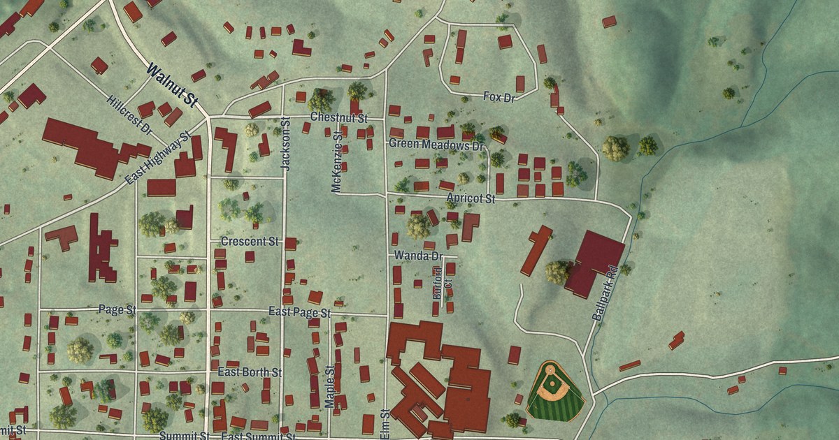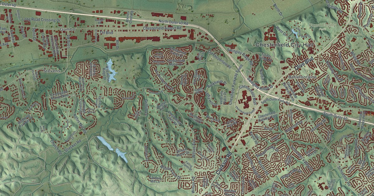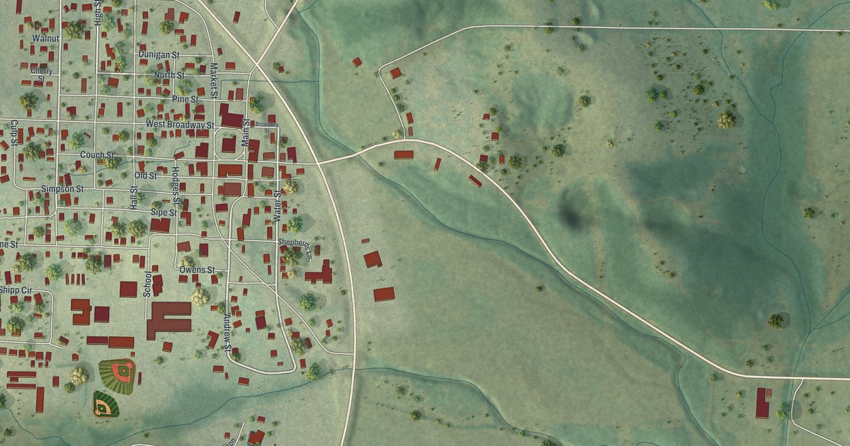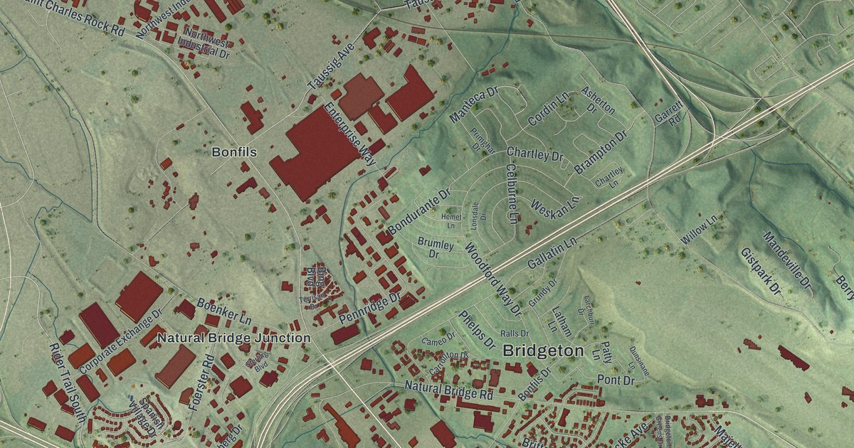
If you grew up in Bridgeton, look for your old street on this print. It's a modern aerial view made with modern data and a vintage feel, showing Bridgeton in St. Louis County, Missouri. Red buildings fill the street grid, while green terrain and blue water show the wider setting.
Bridgeton's streets and its first town survey
On this map you'll find Saint Charles Rock Road, North Lindbergh Boulevard, Natural Bridge Road, Long Road, McKelvey Road, Missouri Bottom Road, Rider Trail South, Taussig Road, Bonfils, Pattonville, Bridgeton Terrace, and more. Each red shape is a building, so zoom in on the preview and look for yours.
Bridgeton's map story reaches back to an early town survey. The State Historical Society of Missouri's place-name account dates that survey to 1786. It names the surveyor as a Frenchman called St. Germain. On this new map, the Bridgeton label and streets such as Natural Bridge Road give you today's town to study. It's a chance to look at familiar blocks with that early survey in mind.
A Bridgeton view for your wall

Created by KNOWOL in 2026, the print pairs soft green terrain with red buildings and blue water. A cream border surrounds the view. The title panel reads AERIAL VIEW OF BRIDGETON, MISSOURI, with 38°45' NORTH 90°25' WEST below.
Hang it in a living room, office, or entryway to keep home close. It's a thoughtful gift for someone who grew up near Long Road and moved away. Open the preview and take a closer look at the streets you know. See sizes and frames for the Bridgeton map.