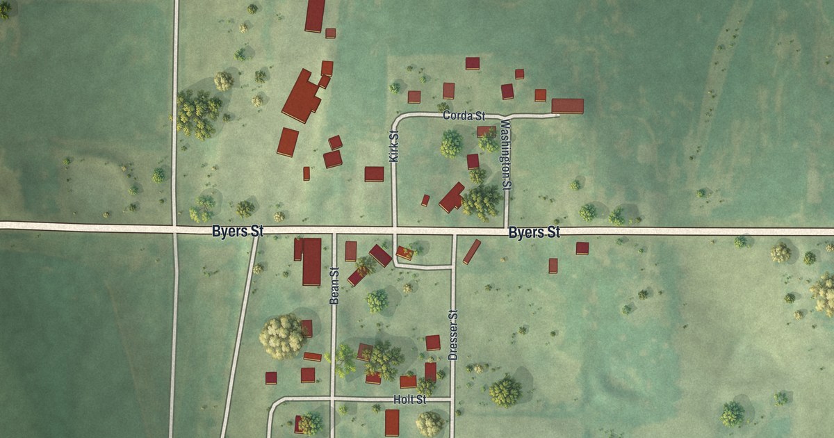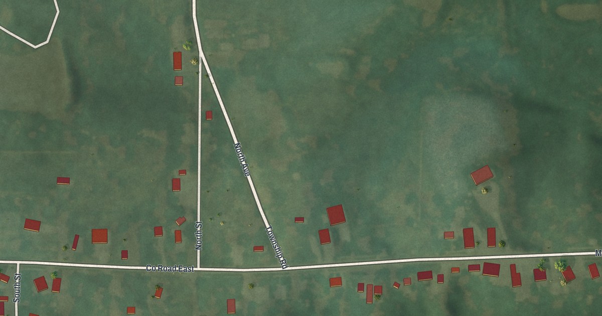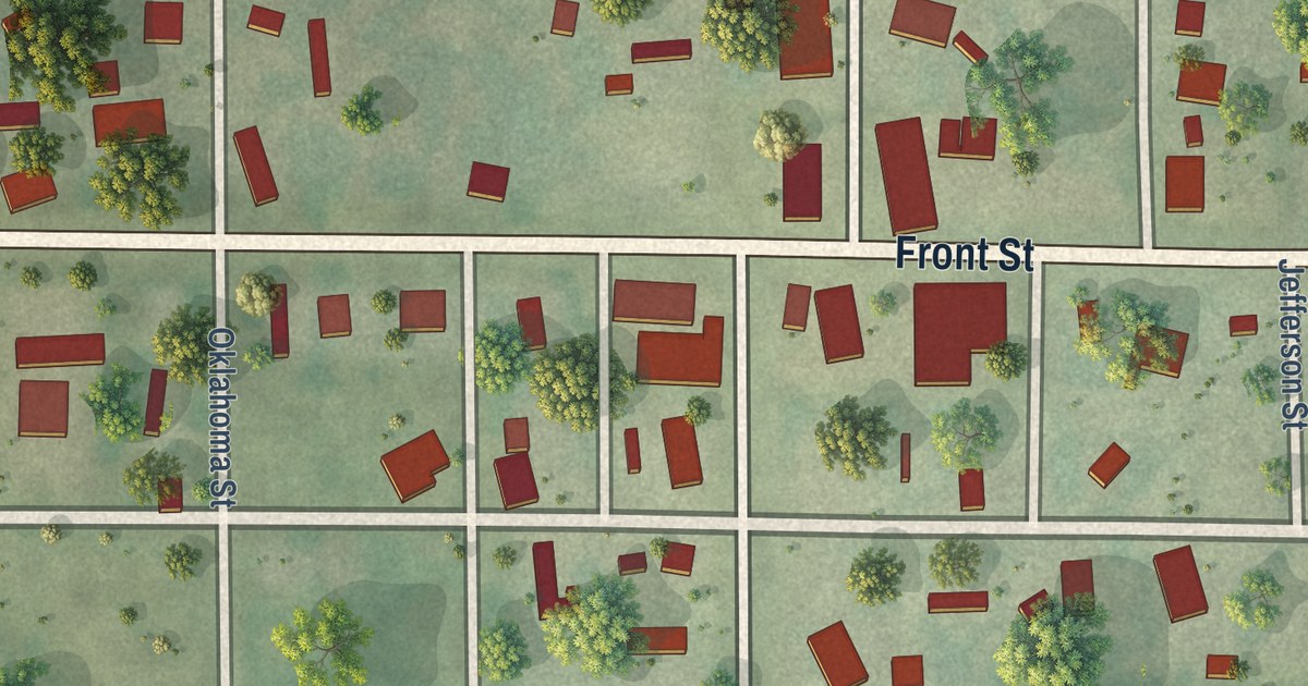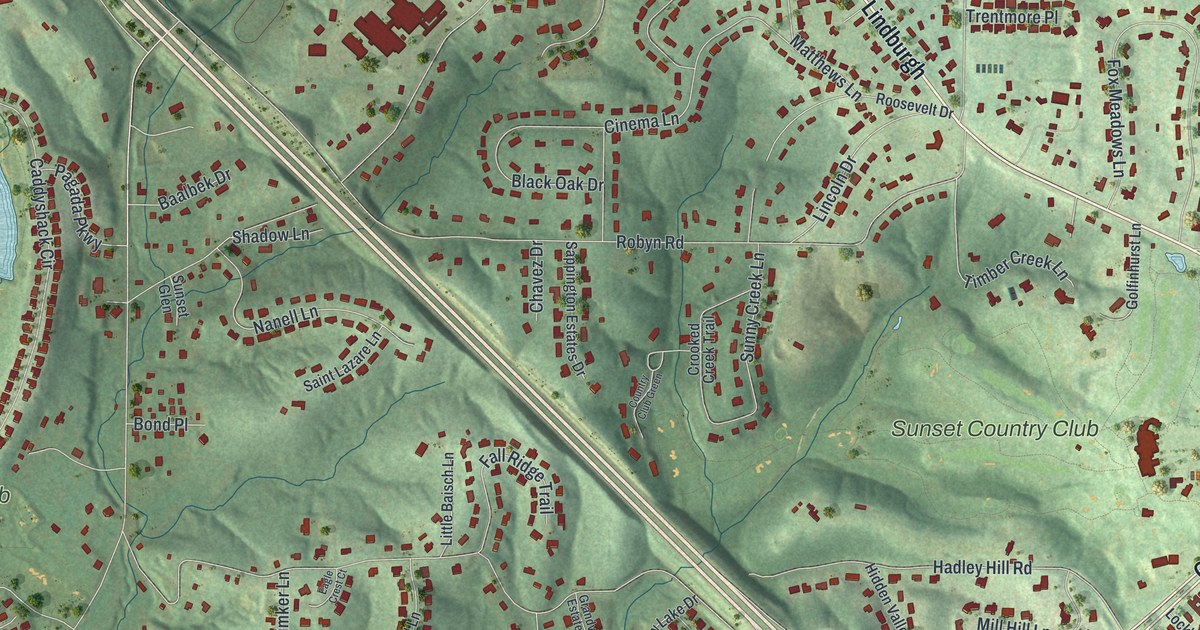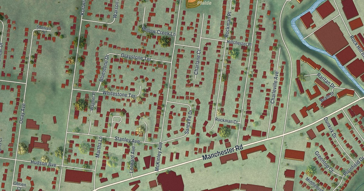
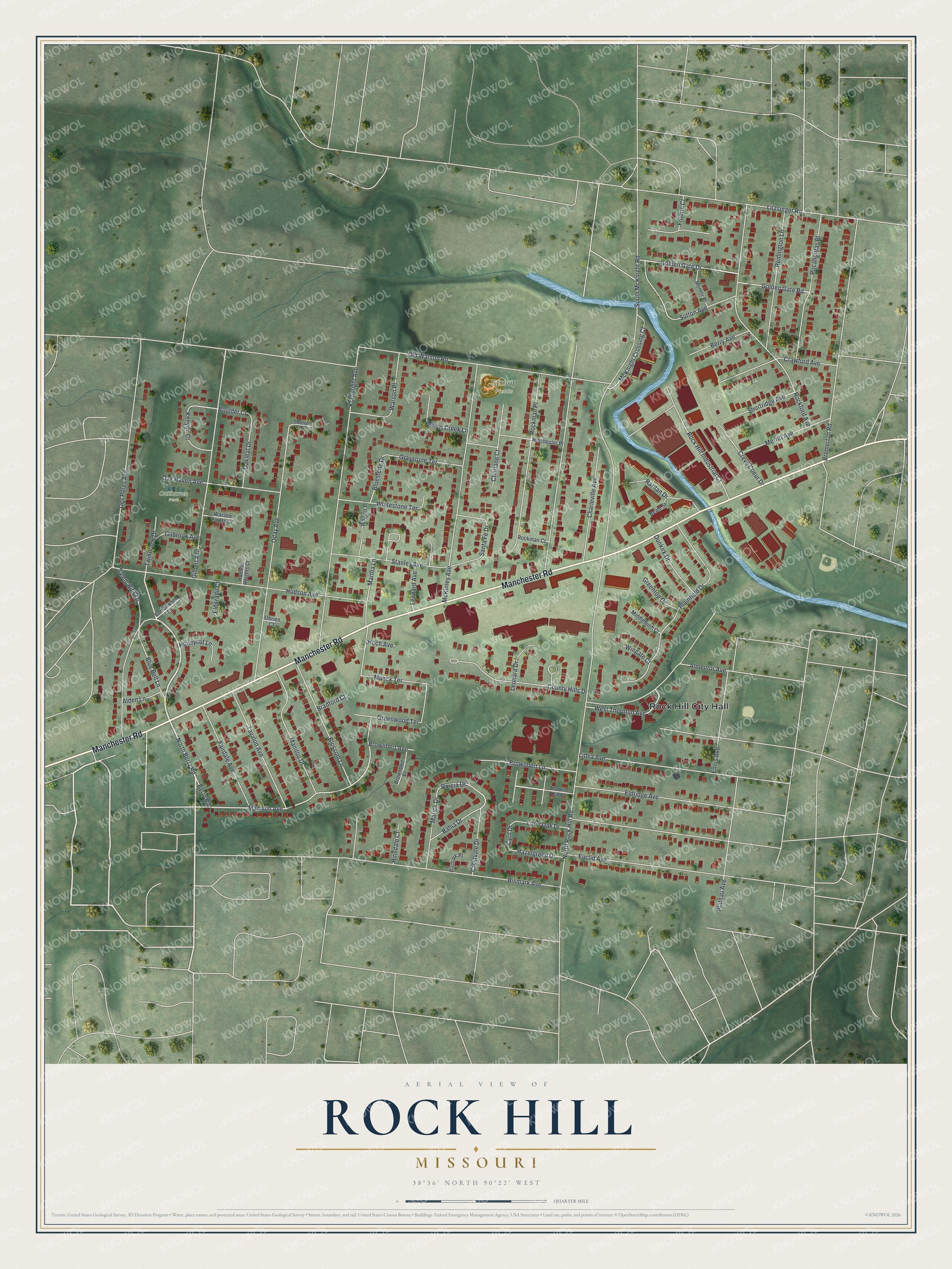
This beautifully detailed map of Rock Hill, Missouri was created in 2026 using aerial imagery combined with modern topographical, census, street and landmark data. It’s a one-of-a-kind view of Rock Hill that combines accurate data with a vintage aesthetic. The map shows every building in its true location, many of the roads carry their names, and the shaded topographic relief shows the shape of the land.
Explore an aerial view of Rock Hill, Missouri
On the map you’ll find Rock Hill City Hall, Oakhaven Park, and Stroup Fields, along with Manchester Road, North Berry Road, Barcia Drive, Madison Avenue, Boulder Court, Golden Gate Drive, McKnight Crossing Court, Creve Coeur Drive, North Rock Hill Road, and more. If you look closely you can even find your house accurately drawn in its correct location. Zoom in on the preview to look for yours.
Take a closer look at the Rock Hill map
Street and place names on the Rock Hill, Missouri map
These names are printed on the map of Rock Hill, Missouri.
Places: Rock Hill City Hall, Oakhaven Park and Stroup Fields.
Streets and roads: Manchester Road, North Berry Road, Barcia Drive, Madison Avenue, Boulder Court, Golden Gate Drive, McKnight Crossing Court, Creve Coeur Drive, North Rock Hill Road, South McKnight Road, Des Peres Avenue, Kortwright Avenue.
More street names, A to Z
Alden Lane, Almentor Avenue, Bahia Drive, Beale Street, Berry Avenue, Berry Road, Bismark Avenue, Bismark Place, Blossom Lane, Blue Bell Lane, Bluestone Drive, Bradford Court, Bremerton Road, Brownbert Avenue, Brownbert Court, Brownbert Lane, Charlane Court, Charleville Avenue, Cottonwood Lane, County Hills Drive, Crawford Avenue, Crestvale Drive, Cyril Drive, Dunkirk Drive, Eldorado Court, Eldridge Avenue, Ennis Avenue, Euclid Avenue, Fairdale Avenue, Fredric Court, Gilbert Avenue, Gilbrook Avenue, Golden Gate Road, Graystone Terrace, Greentop Court, Greenwood Terrace, Hardith Hill Court, Hazelgreen Drive, Hillchester Place, Hinsdale Court, Hoch Avenue, Honeycut Lane, Hudson Avenue, Hudson Heights Court, Kenyon Court, Leonard Avenue, Leonard Drive, Lithia Avenue, Litzsinger Road, Lone Oak Drive, Manitou Drive, Marick Drive, Martha Lane, McKinley Avenue, Mentor Place, Merritt Avenue, Middlebush Court, Mueck Terrace, Oak Haven Avenue, Oakleaf Drive, Obrien Court, Oday Avenue, Old Warson Road, Plainfield Drive, Plateau Avenue, Pocahontas Place, Raritan Drive, Remington Lane, Rockford Avenue, Rock Hill Industrial Court, Rockman Court, Rockman Place, Salem Hills Drive, Santa Fe Drive, Sherrell Court, Shortridge Avenue, Stanley Avenue, Sutton Avenue, Tavalon Avenue, Twinbrook Drive, Wagner Place, Warson Place, Warson Pointe Drive, West Thornton Avenue, Whitestone Terrace, Willow Creek Lane, Wingate Court.
See the Rock Hill, Missouri map on a wall
The Rock Hill map as an 18 x 24 inch print in a black frame.

This beautifully detailed map of Rock Hill makes an attractive addition to your office, library, or den, and it can even be used to teach children the geography and history of the area. It also makes a great gift for someone who left Rock Hill and still calls it home. When you’re done exploring, click here to get your copy of the Rock Hill map.