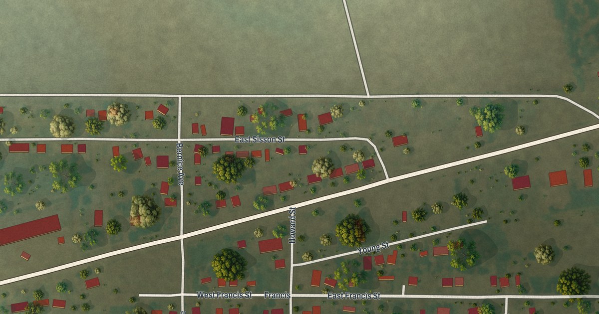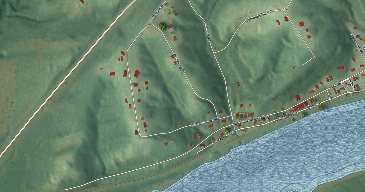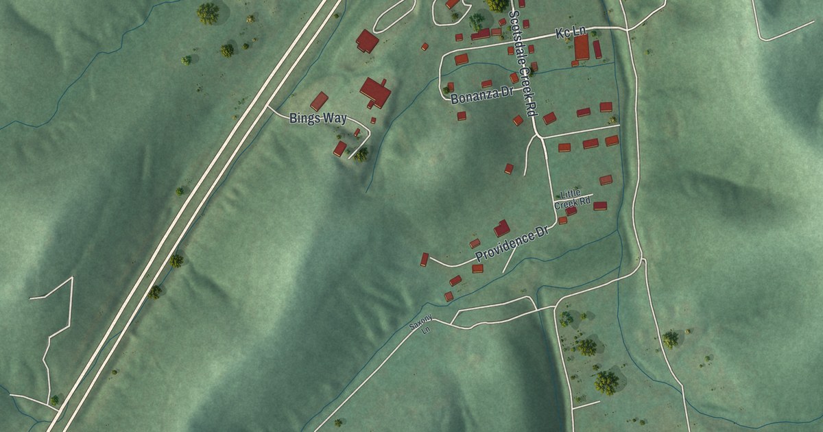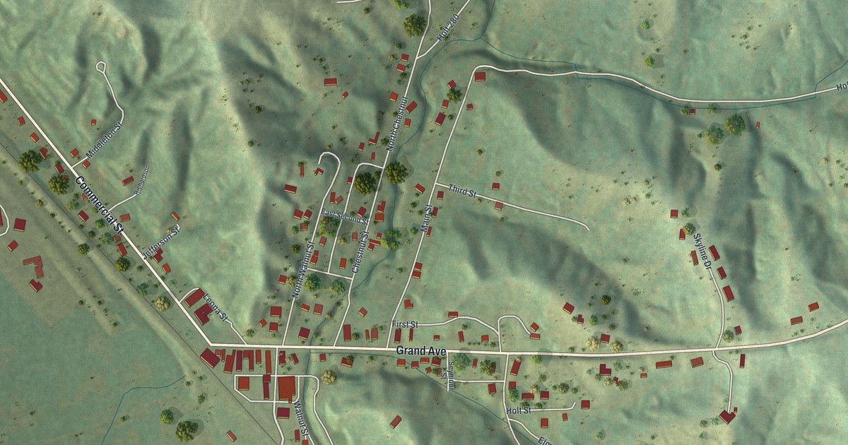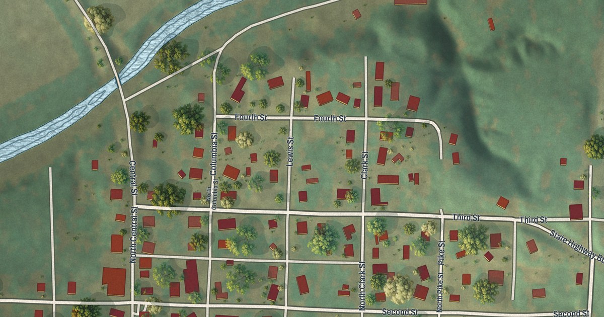
If you grew up in Rocheport, or your family still calls it home, this map puts the whole town on one sheet. It's a modern aerial view of Rocheport in Boone County, Missouri, made from modern data and given a vintage look. The town's grid of streets sits near the middle, dotted with red buildings and green trees. A creek winds down the left side and runs into a wide blue river along the bottom. Green hills with deep folds rise on the right.
Rocheport's early ferry and warehouse
On this map you'll find First Street, Second Street, Third Street, Fourth Street, Central Street, Clark Street, Pike Street, Columbia Street, Moniteau Street, Lewis Street, Howard Street, Gaw Street, Ward Street, State Highway Bb, Rocheport City Hall, and more. Each red shape is a building, so zoom in on the preview and look for yours.
Rocheport sits close to the water. The History of Boone County, printed in 1882, gives a short report on the town's early trade. It says, "A good warehouse and ferry are already established at Rocheport, both of which are at present well supported." A ferry meant people and wagons could cross the river right here. A warehouse meant there was trade worth storing. On the map, the wide river along the bottom shows how near it all was. The town's streets sit just above it, between the creek and the hills.
The first brick house in Rocheport
The same book tells about a bricklayer who learned the trade from his father. He worked on the State University and helped lay the front wall of that building. He also built the first brick house ever put up in the town of Rocheport. Today the map shows 167 buildings, from Rocheport City Hall to the homes along Fourth Street.
Head's Fort and the start of Boone County
The book also says that in 1816, "settlement in Boone County began in earnest." That spring, people living at Head's Fort, near Rocheport, moved about four miles north. They settled a spot later known as Thrall's Prairie. A year later, in 1817, the county's first church was organized eight miles north of Rocheport. It was called Bethel.
From Rocheport City Hall to Fourth Street

Created by KNOWOL in 2026, this print shows Rocheport from above in soft greens and blues. You'll see shaded hills, a winding creek, a wide river and small red buildings on a grid of streets. The title panel reads "Aerial View of Rocheport, Missouri" with the coordinates 38°59' North 92°34' West.
It fits a living room, a front hall or a home office. It's a good gift for someone who grew up near Rocheport City Hall, or for a friend who moved away and still misses the river. Open the preview and find your street. See sizes and frames for the Rocheport map.