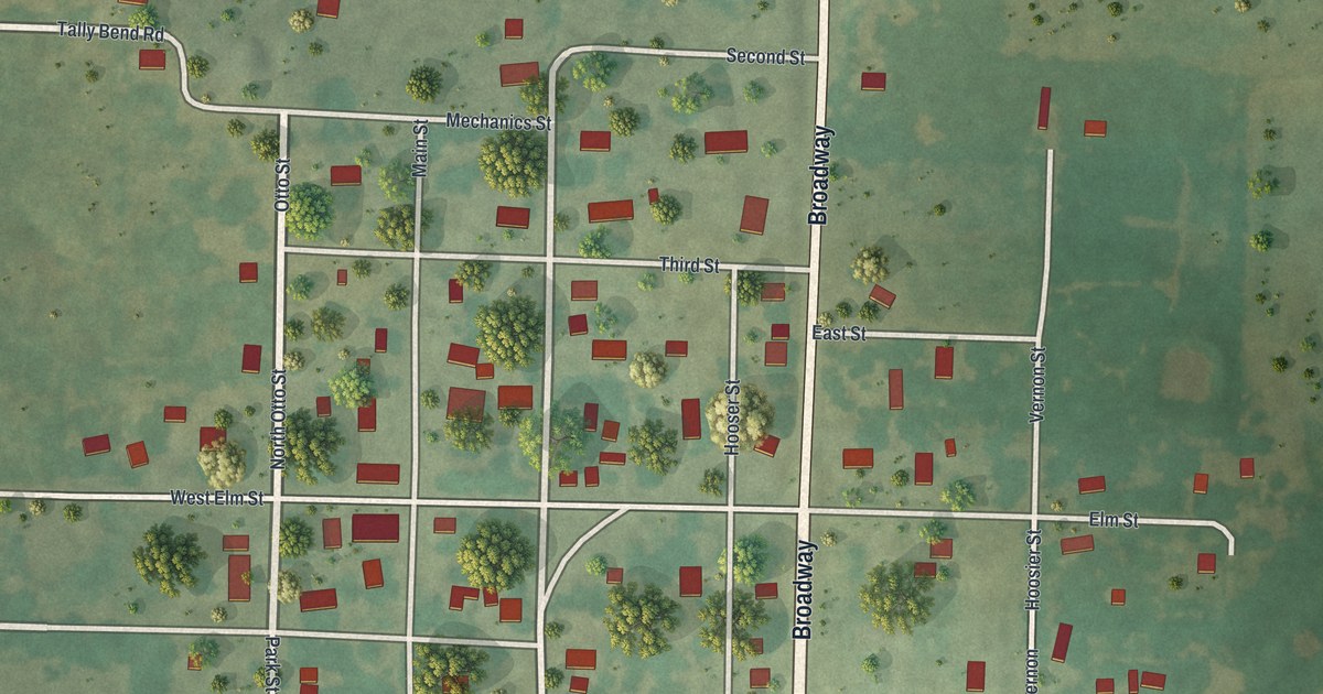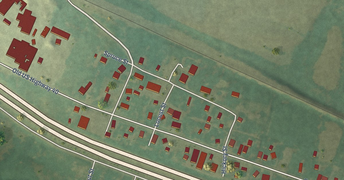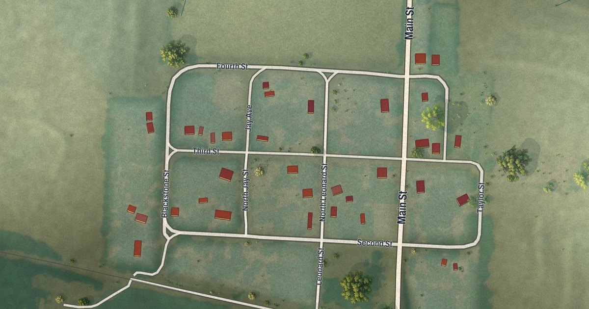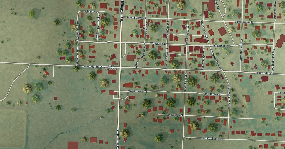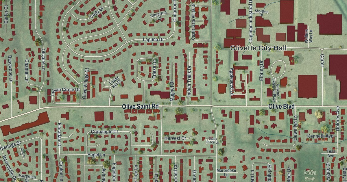
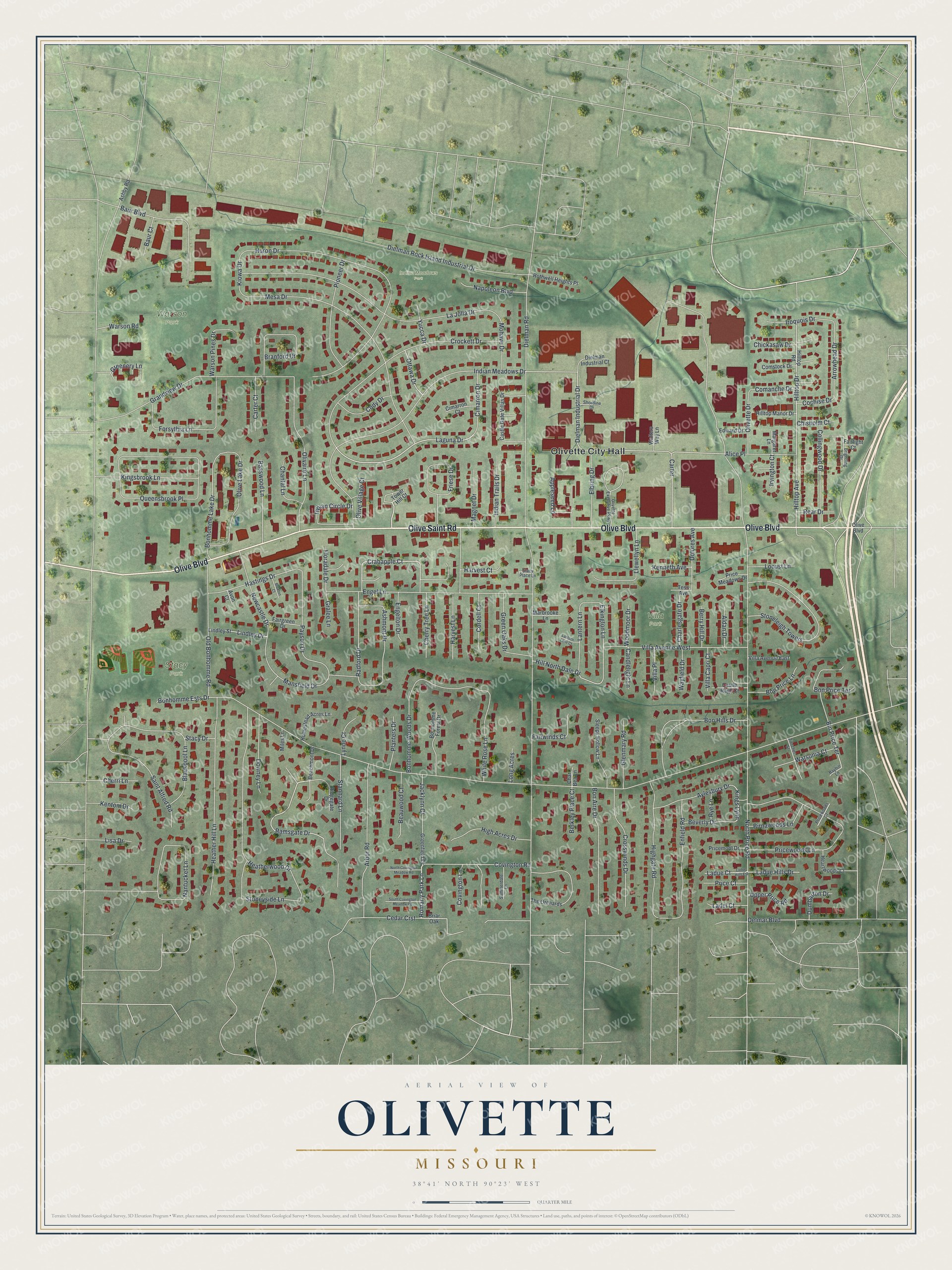
This beautifully detailed map of Olivette, Missouri was created in 2026 using aerial imagery combined with modern topographical, census, street and landmark data. It’s a one-of-a-kind view of Olivette that combines accurate data with a vintage aesthetic. The map shows every building in its true location, many of the roads carry their names, and the shaded topographic relief shows the shape of the land.
Explore an aerial view of Olivette, Missouri
On the map you’ll find Olivette City Hall, Indian Meadows Park, Stacy Park, Warson Park, Villa Park, and Kings Lynn, along with Olive Saint Road, Olive Boulevard, Ramsgate Drive, Crabapple Court, Laguna Drive, Romany Park Lane, and more. If you look closely you can even find your house accurately drawn in its correct location. Zoom in on the preview to look for yours.
Take a closer look at the Olivette map
Street and place names on the Olivette, Missouri map
These names are printed on the map of Olivette, Missouri.
Places: Olivette City Hall, Indian Meadows Park, Stacy Park, Warson Park and Villa Park.
Streets and roads: Olive Saint Road, Olive Boulevard, Ramsgate Drive, Crabapple Court, Laguna Drive, Romany Park Lane, Kings Lynn, Dielman Industrial Drive, Elkington Lane, Old Bonhomme Road, Dielman Road, North Price Road.
More street names, A to Z
Aldan Drive, Alice Place, Appleseed Lane, Arbor Road, Arrowhead Drive, Ashby Road, Ashmont Drive, Avon Court, Aylesbury Drive, Basswood Lane, Baur Boulevard, Baur Court, Bayhill Lane, Beachmont Drive, Beauwood Court, Berkley Place Court, Berry Hill Drive, Beverly Drive, Bin Price Terrace, Birnawoods Lane, Blackpool Lane, Bon Aire Drive, Bon Hills Drive, Bonhomme Ests Drive, Bonhomme Forest Drive, Bonhomme Lake Drive, Bonhomme Woods Drive, Bon Price Lane, Bon Price Terrace, Branford Drive, Braxton Court, Briar Oak, Brightling Drive, Candlelight Lane, Carter, Carter Court, Castle Gate Villas Drive, Castle Ragh Court, Cedar Crst, Chantal Lane, Char Bea Lane, Charlesgate Drive, Cherri Lane, Cherry Tree Lane, Chickasaw Drive, Chisholm Court, Cimarron Court, Cimarron Drive, Cochise Drive, Cody Drive, Collingwood Drive, Comanche Drive, Comstock Drive, Cordell Court, Covington Lane, Covington Road, Crockett Drive, Crosswinds Drive, Delmar Boulevard, Dielman Industrial Court, Dielman Rock Island Industrial Drive, Dolores Avenue, Downey Lane, Dumbarton Drive, Edward Drive, Elbring Drive, Enfield Road, Engel Lane, Engelton Drive, Fairgreen Drive, Fairlight Court, Fairwinds Court, Floradale Drive, Forsythia Lane, Friese Drive, Glenmary Road, Gralee Lane, Grandview Drive, Greenery Lane, Greenfield Drive, Green Oaks Drive, Harvest Court, Harvest Lane, Hastings Drive, Heartwoods Court, Heather Hill Lane, Heatherwood Drive, High Acres Drive, Highgate Road, Hill North Dale Drive, Hilltop Avenue, Hilltop Drive, Hilltop Manor Drive, Hilltop Road, Homestead Acres Lane, Huron Drive, Indian Circle Drive, Indian Meadows Drive, Indian Trails Drive, Iroquois Drive, Irvington Court, Jacklynn Court, Kenneth Avenue, Kentom Drive, Kingsbrook Lane, Kiowa Drive, Ladel Court, Ladue Court, Ladue Hills Drive, Ladue Hills Est, La Jolla Drive, Lantern Lane, Lantern Lane Court, Lindley Drive, Lindley Street, Lisa Drive, Llewellyn Lane, Locust Lane, Long Acres, Lynne Court, Magnet Drive, Mansfield Drive, Marbrooke Lane, Margaret Lane, Mesa Drive, Miles Lane, Mohave Drive, Nantucket Lane, Napoleon Boulevard, Newcastle Drive, North Covington Meadow Road, Olivaire Lane, Olive Lake Drive, Olivette Drive, Olivette Executive Parkway, Olive Village Court, Ottawa Drive, Payson Drive, Pioneer Drive, Planters Drive, Price Court, Price Meadows Drive, Pricemont Drive, Pricewoods Court, Pricewoods Lane, Queensbrook Place, Radford Drive, Rear Drive, Ridgegate Drive, Rothwell Heights Place, Rye Lane, Saint Alfred Road, Shortline Drive, Sleepy Hollow Lane, South Covington Meadow Road, Stacy Drive, Stacy Place Lane, Stannard Lane, Stoneleigh Towers, Stoneyside Lane, Summerdale Lane, Tess Avenue, The Orchards, Tower Hill Court, Upper Price Road, Villa Avenue East, Villa Avenue West, Villa Capri Court, Villa Place, Walters Way Lane, Warson Pines Drive, Warson Road, Watsonia Court, Wayfield Drive, White Rose Lane, Woodmoor Drive, Yucca Drive, Ziercher Street.
See the Olivette, Missouri map on a wall
The Olivette map as an 18 x 24 inch print in a black frame.

This beautifully detailed map of Olivette makes an attractive addition to your office, library, or den, and it can even be used to teach children the geography and history of the area. It also makes a great gift for anyone with Olivette roots. When you’re done exploring, click here to get your copy of the Olivette map.