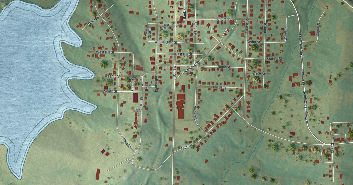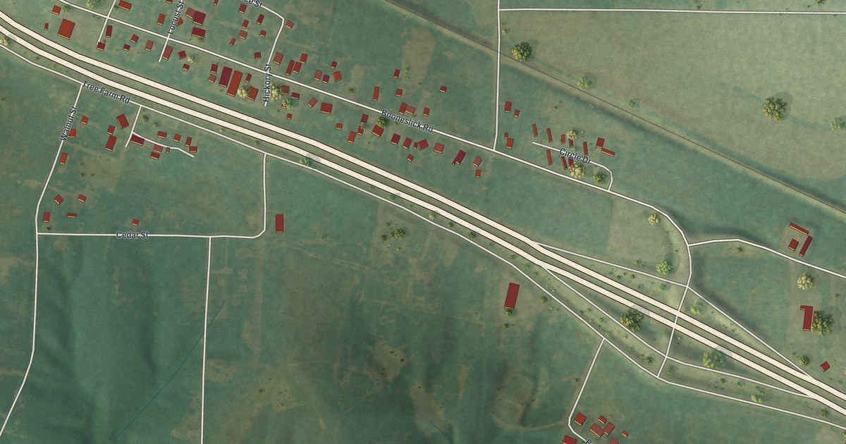
If you grew up in High Hill, this print puts familiar streets within reach. It's a modern aerial view of High Hill in Montgomery County, Missouri, made with modern data and a vintage feel. Red buildings stand out against green fields and wooded ground. Pale roads link the town's blocks with the land around them.
Booneslick Road and High Hill's Streets
On this map you'll find Booneslick Road, Old US Highway 40, Tree Farm Road, Bear Creek Road, Walnut Street, Cedar Street, Spruce Street, Locust Street, Hickory Street, Barbara Drive, Circle Drive, and more. Each red shape is a building, so zoom in on the preview and look for yours.
How High Hill Got Its Name
High Hill's name came with a post office. The State Historical Society of Missouri's place-name account says it moved in 1853 from the present site of Jonesburg. That earlier site was one of the highest points between Kansas City and St. Louis. The account says it wasn't a hill, though. That old post office gave the town the name printed across the bottom of this map.
Two High Hill buildings are on the National Register of Historic Places: High Hill School, listed in 1980, and the Farmers Mercantile Co. Building on Boone's Lick Rd., listed in 2004.
Keep High Hill Close
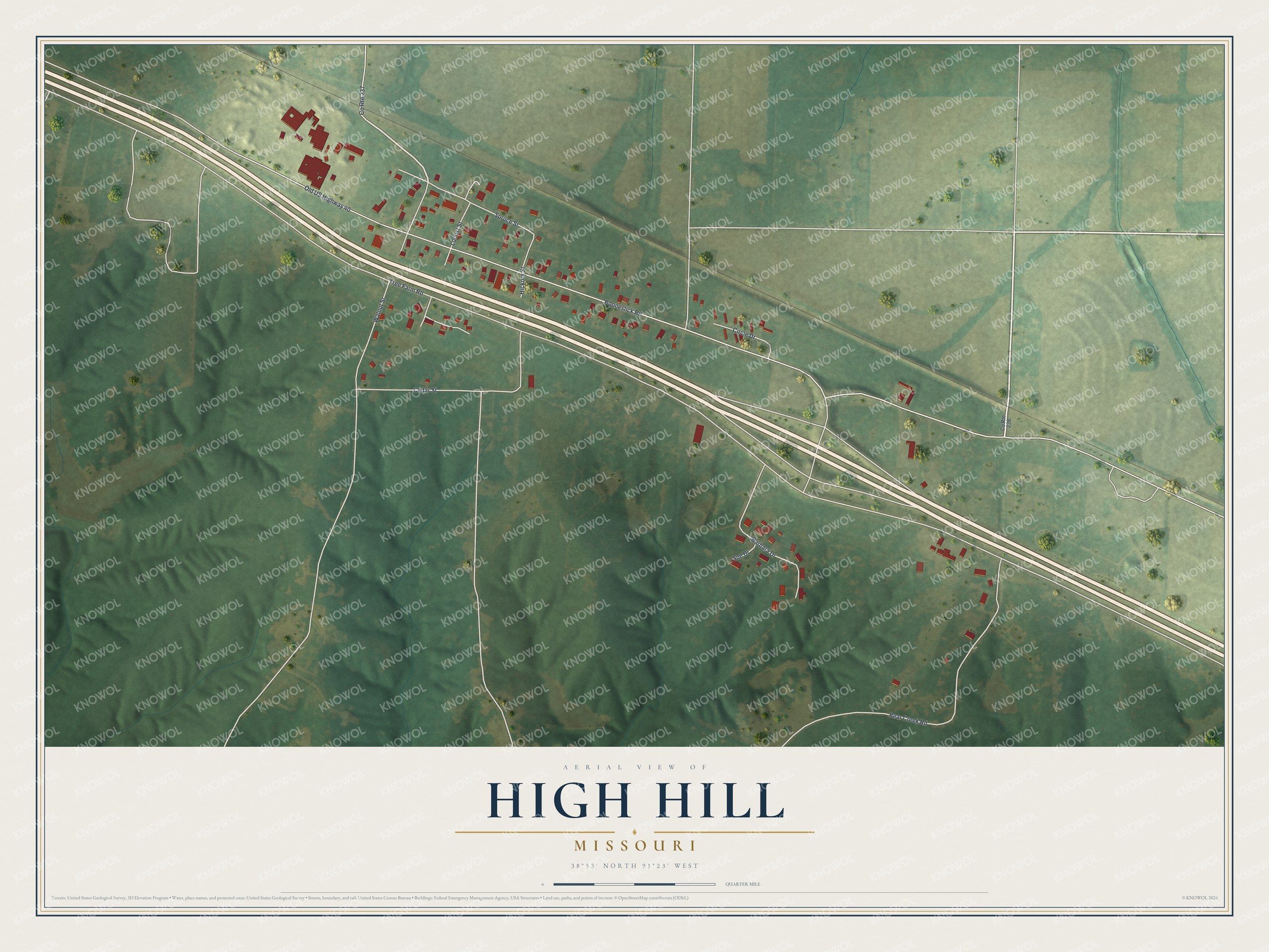
Created by KNOWOL in 2026, the print pairs muted green land with red buildings and pale roads. A cream border surrounds the view. The title panel reads AERIAL VIEW OF, HIGH HILL, MISSOURI, with 38°53' NORTH 91°23' WEST below.
Hang it in a living room, home office, or entryway. It's a thoughtful gift for someone who grew up along Booneslick Road or has family in High Hill. Look for the streets you know. See sizes and frames for the High Hill map.