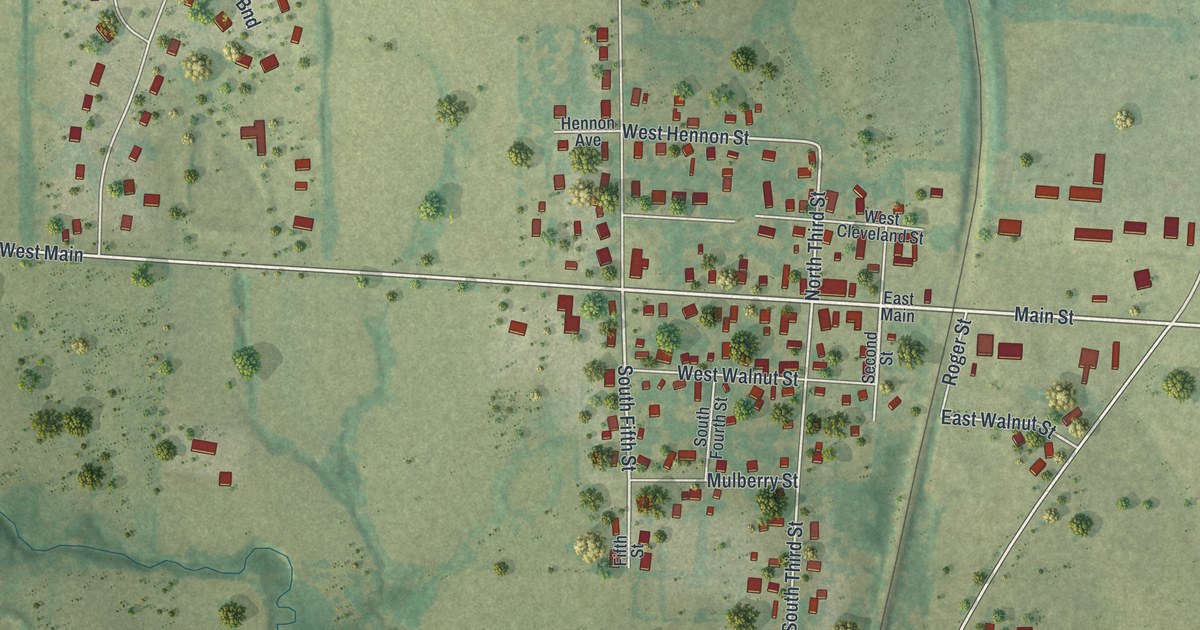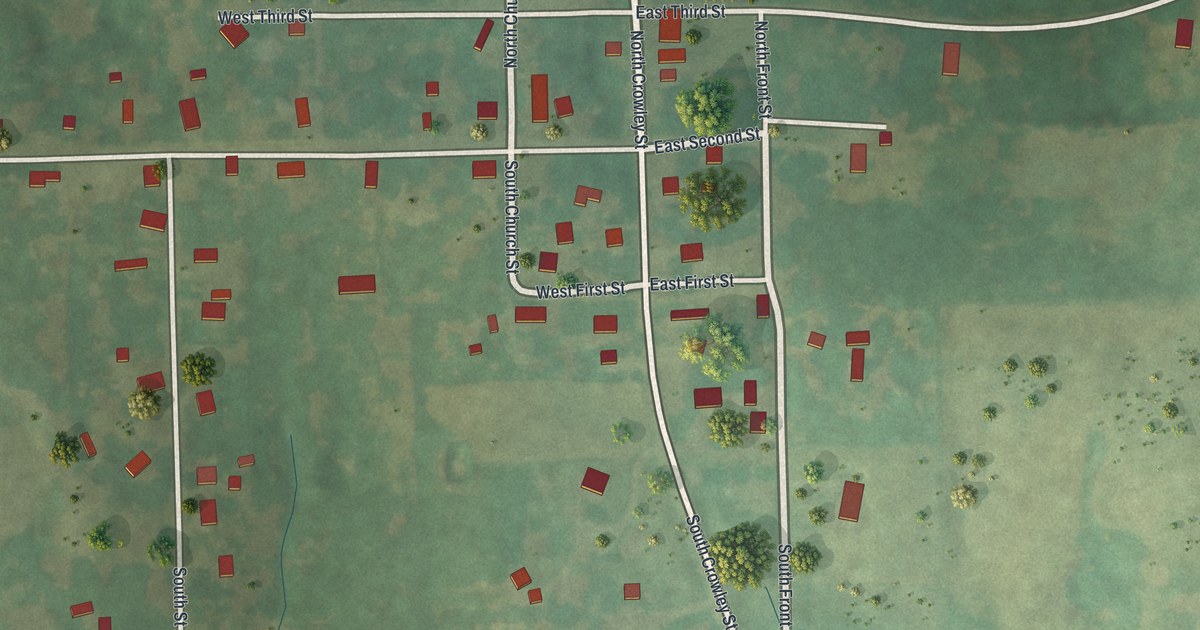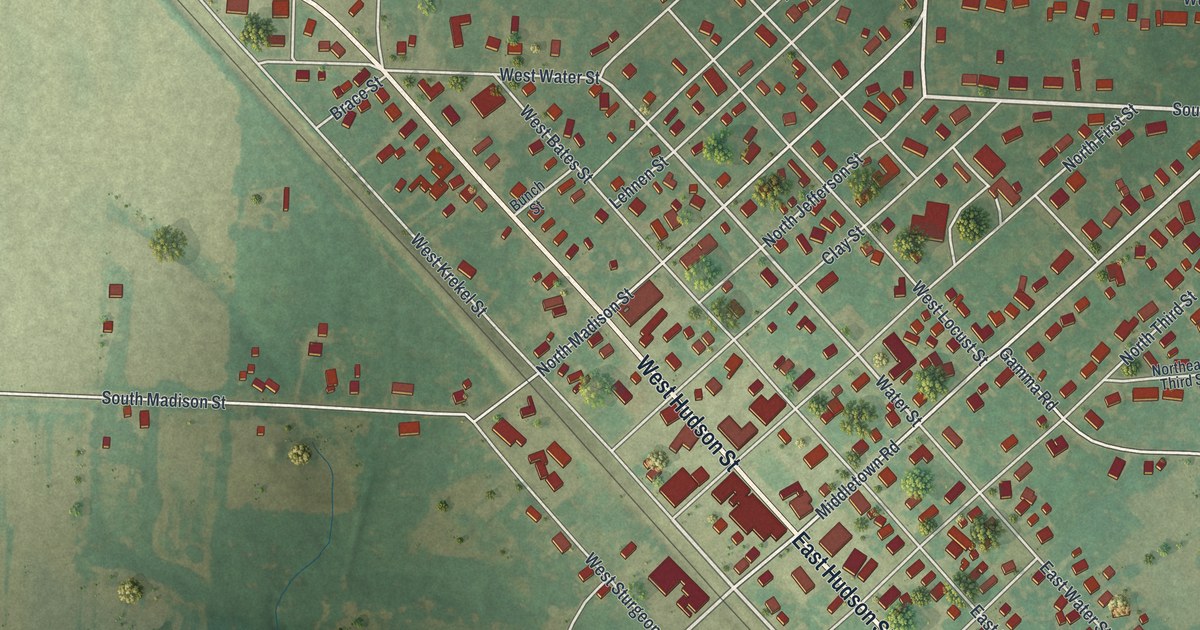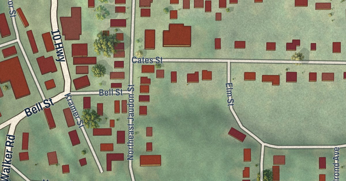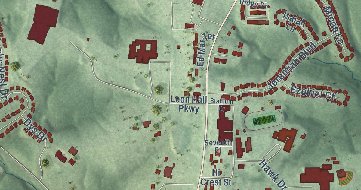
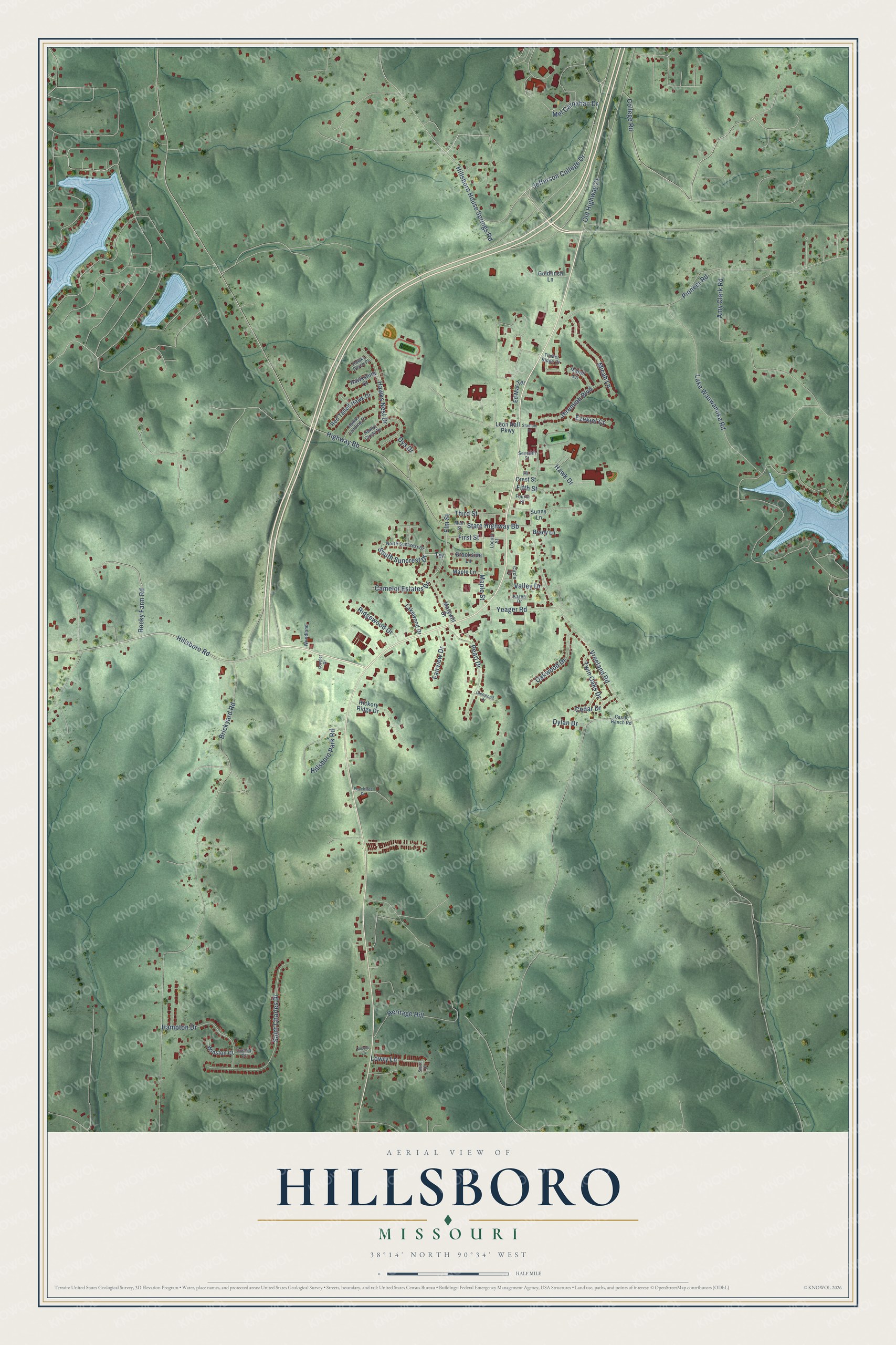
This beautifully detailed map of Hillsboro, Missouri was created in 2026 using aerial imagery combined with modern topographical, census, street and landmark data. It’s a one-of-a-kind view of Hillsboro that combines accurate data with a vintage aesthetic. The map shows every building in its true location, many of the roads carry their names, and the shaded topographic relief shows the shape of the land.
Explore an aerial view of Hillsboro, Missouri
On the map you’ll find Heritage Hill, along with Hillsboro House Springs Road, Jefferson College Drive, Hillsboro Road, Hawk Drive, Vreeland Road, State Highway Bb, Brickyard Road, Pioneer Road, Saint Charles Drive, Lake Wauwanoka Road, Old Highway 21, and more. If you look closely you can even find your house accurately drawn in its correct location. Zoom in on the preview to look for yours.
Did you know this piece of Hillsboro, Missouri history?
Hillsboro was first laid out in 1839 as Monticello, after Thomas Jefferson’s home. Postal officials rejected that name because another Missouri post office had one too close to it. So the town became Hillsboro, which means the same thing in English as the Italian word Monticello.
Take a closer look at the Hillsboro map
Street names on the Hillsboro, Missouri map
These names are printed on the map of Hillsboro, Missouri.
Streets and roads: Jefferson College Drive, Hillsboro House Springs Road, Hillsboro Road, Hawk Drive, Elm Street, Vreeland Road, State Highway Bb, Brickyard Road, Pioneer Road, Saint Charles Drive, Lake Wauwanoka Road, Old Highway 21.
More street names, A to Z
Amy Clark Road, Brady Lane, Brookside Lane, Camelot Estates Drive, Castle Ranch Road, Cedar Drive, Circle Drive, College Road, Dylan Drive, Dys Drive, Ed Mar Terrace, Ezekiel Court, Fairview Drive, Fifth Street, First Street, Fourth Street, Glenwood Drive, Goldfinch Lane, Hampton Drive, Hawks Circle Drive, Hawkshire Court, Hawks Landing Drive, Hawks Nest Drive, Hawks Perch Place, Heritage Hill, Hickory Ridge Drive, Hi Crest Street, Highway Bb, Hillsboro Park Road, Isaiah Lane, Jeremiah Boulevard, Karen Drive, Koogler Drive, Lakewood Drive, Leon Hall Parkway, Locust Street, Lowry Lane, Main Street, Maple Lane, Maple Street, Marywill Drive, Mel Carnahan Drive, Micah Lane, Nicole Lane, North Suncrest Drive, Oakwood Drive, Oxford Court, Peachtree Drive, Pearl Drive, Red Tailed Hawk Drive, Ridgewood Drive, Rocky Farm Road, Seventh Street, Smith Drive, South Suncrest Drive, Stadium Drive, Sunny Lane, Terrace, Third Street, Timber Ridge Drive, Twin Oaks Drive, Valley Drive, Winston Court, Woodland, Yeager Road.
See the Hillsboro, Missouri map on a wall
The Hillsboro map as an 18 x 24 inch print in a black frame.

This beautifully detailed map of Hillsboro makes an attractive addition to your office, library, or den, and it can even be used to teach children the geography and history of the area. It also makes a great gift for anyone who grew up in Hillsboro or moved away. When you’re done exploring, click here to get your copy of the Hillsboro map.