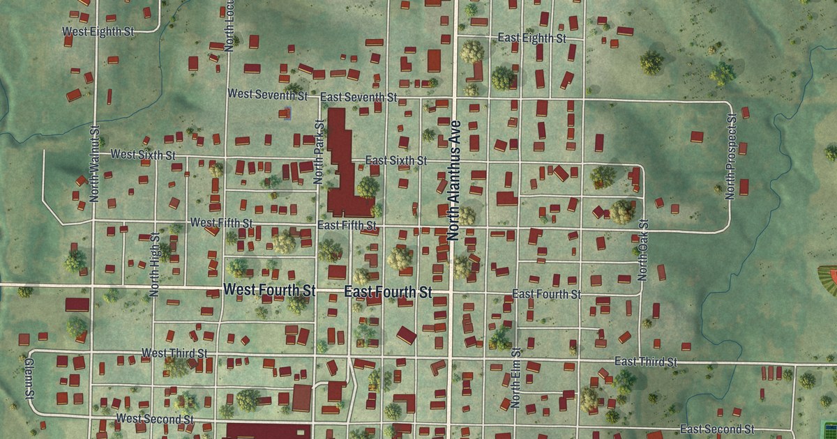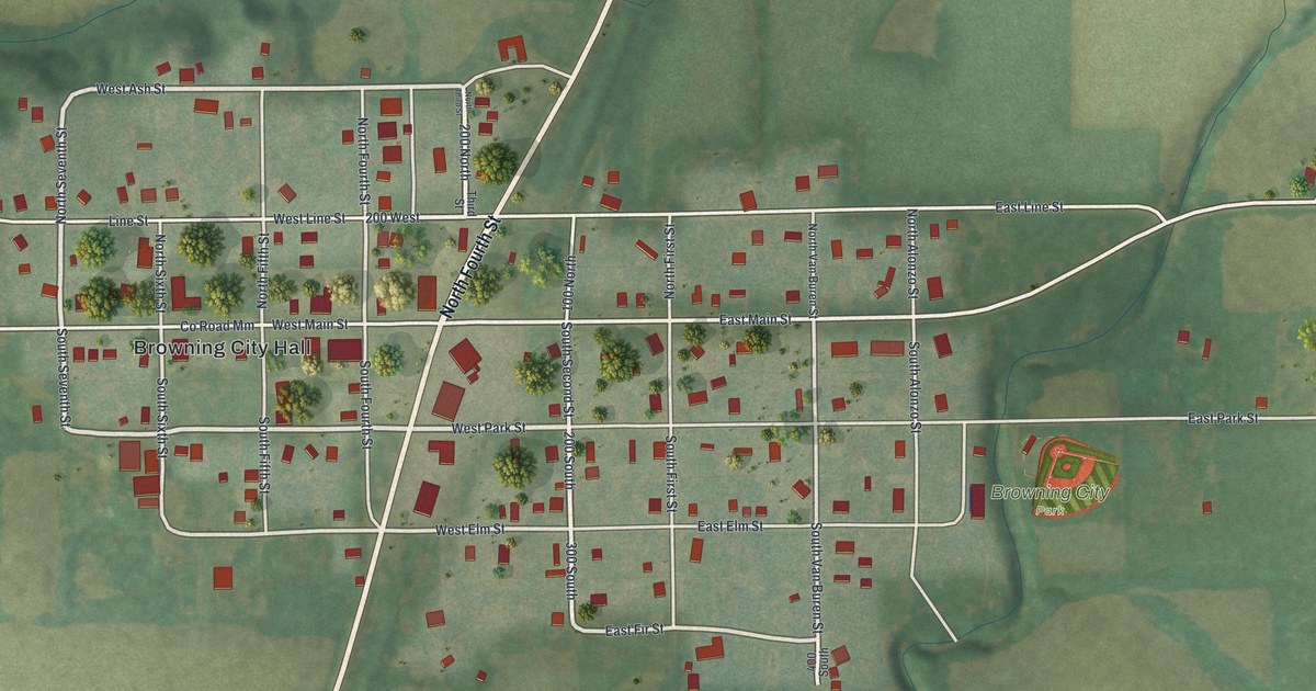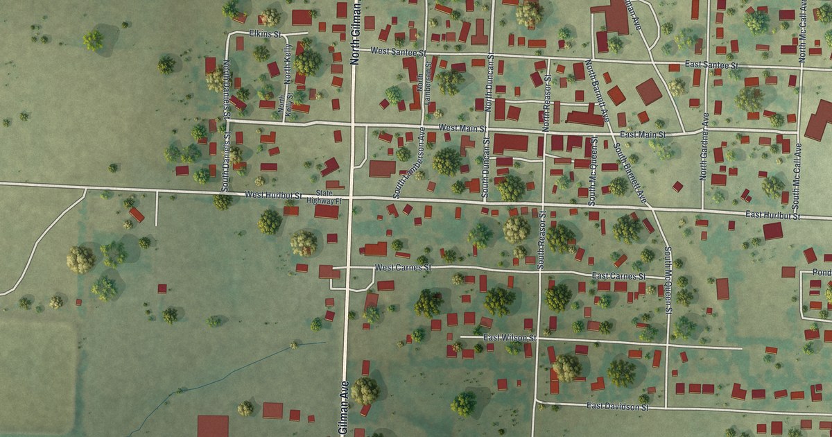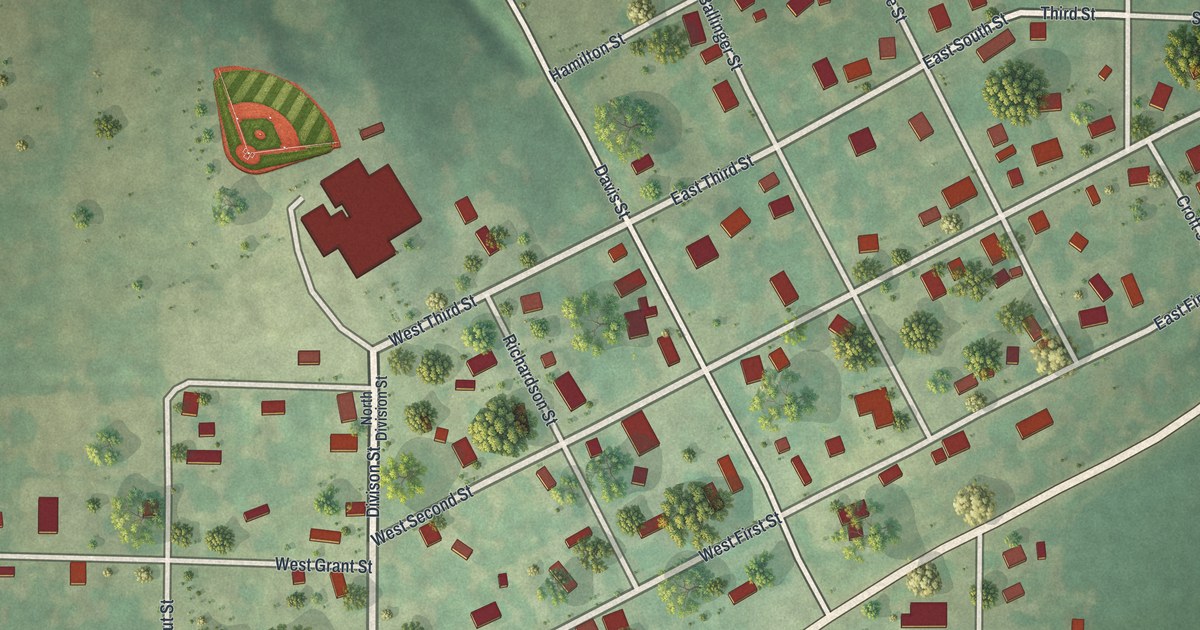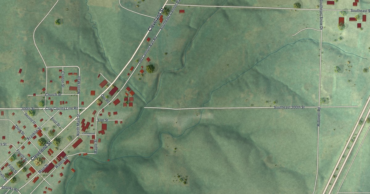
If you grew up in Holt, or your family still lives off Main Street, this map shows the town you know. It's a modern aerial view of Holt in Clay County, Missouri, built from public elevation, street and building data, with a vintage style. The town sits in the middle left of the sheet. Small red buildings crowd along Cleveland Street and the short side streets around it. Green hills and creek valleys fill the rest. A wide divided highway runs down the right side, and Haynesville sits in the top right corner.
How Holt got its name in 1867
On this map you'll find Main Street, North Main Street, Cleveland Street, Church Street, Clay Street, Franklin Street, Maple Street, Walnut Place, Cherry Street, Elm Street, Lynn Street, Shanks Road, Southeast Highway 33, State Highway Pp, Haynesville, and more. Each red shape is a building, so zoom in on the preview and look for yours.
The 1885 history of Clay and Platte counties says Holt was laid out in the fall of 1867. It was named for Uncle Jerry Holt, who owned the land. The town still carries his name today.
The church that came from Haynesville
The same history tells how one church came to Holt. The history names it Church South. It was started in 1837 at a place called Pleasant Grove. That's thirty years before Holt was laid out. Later it moved to Haynesville, and from there it moved to Holt. You can find Haynesville on the map, up in the top right corner. It sits across the wide highway from town, near State Highway Pp.
Holt, from Main Street to Haynesville
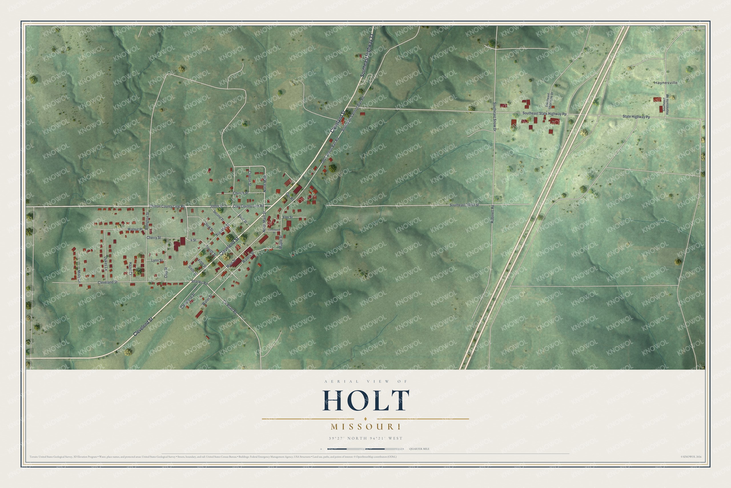
Created by KNOWOL in 2026, this print shows Holt from above, with shaded green hills, thin blue creek lines and small red buildings. The title panel reads "Aerial View of Holt, Missouri" and gives the spot as 39°27' North 94°21' West.
It fits a living room, a front hall or an office wall. It makes a good gift for someone who grew up near Main Street in Holt and now lives far away. Open the preview and find the street you'd point to first. See sizes and frames for the Holt map.