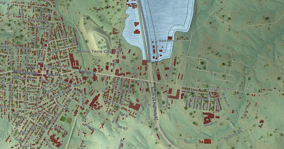
If you grew up in Bonne Terre or still have family on Benham Street, this map puts your town on the wall. It's a modern aerial view of Bonne Terre, made from modern data with a vintage feel, in St. Francois County, Missouri. Green hills fold around the town. A big pale blue lake sits beside South US Highway 67, and a winding river curls down the right side. About 3,000 red buildings are drawn on the map.
Benham Street, Park Avenue and Bonne Terre City Hall
On this map you'll find Benham Street, Main Street, Park Avenue, West School Street, North Division Street, South Division Street, Oak Street, Elm Street, South US Highway 67, Bonne Terre City Hall, Bonne Terre Park, Lakeview Park, East Bonne Terre, Raider Road, and more. Each red shape is a building, so zoom in on the preview and look for yours.
A railroad town with a post office since 1868
The State Historical Society of Missouri keeps an old file of Missouri place names. It describes Bonne Terre as a town in Perry Township. The town sat on a rail line called the Mississippi River and Bonne Terre Railroad. The same file says Bonne Terre has had a post office since 1868. The map draws one rail line.
Two Bonne Terre buildings were added to the National Register of Historic Places in 1984. The Bonne Terre Depot is listed on Oak Street. The St. Joe Lead Company Administration Building is listed on Elm Street. Both streets are printed on the map, so you can find the blocks where these old buildings sit.
Keep Bonne Terre and Benham Street close
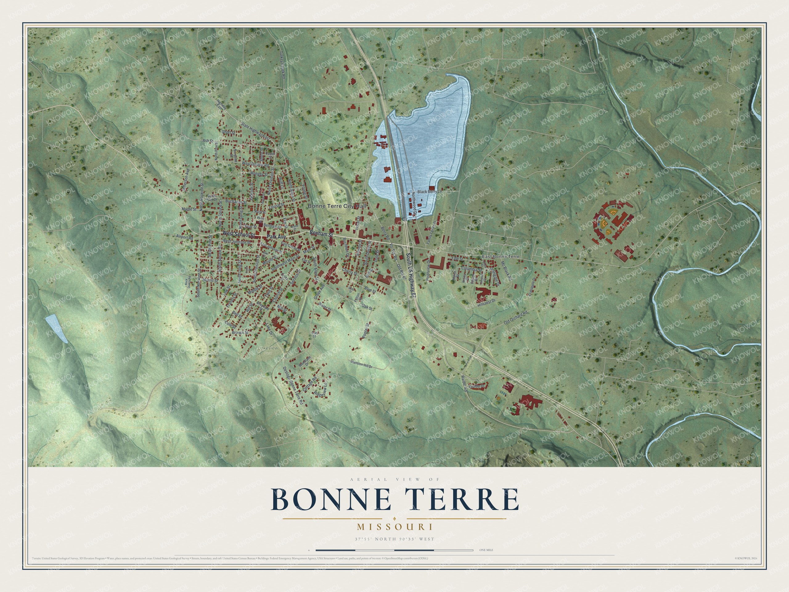
Created by KNOWOL in 2026, this print shows Bonne Terre over green, shaded hills, with red buildings, a pale blue lake and a winding river. The title panel reads "Aerial View of Bonne Terre, Missouri" with the coordinates 37°55' North 90°33' West.
It fits a living room, a hallway or a home office. It's a good gift for anyone who grew up near Bonne Terre Park, or for family who moved away. Open the preview and look for your street. See sizes and frames for the Bonne Terre map.