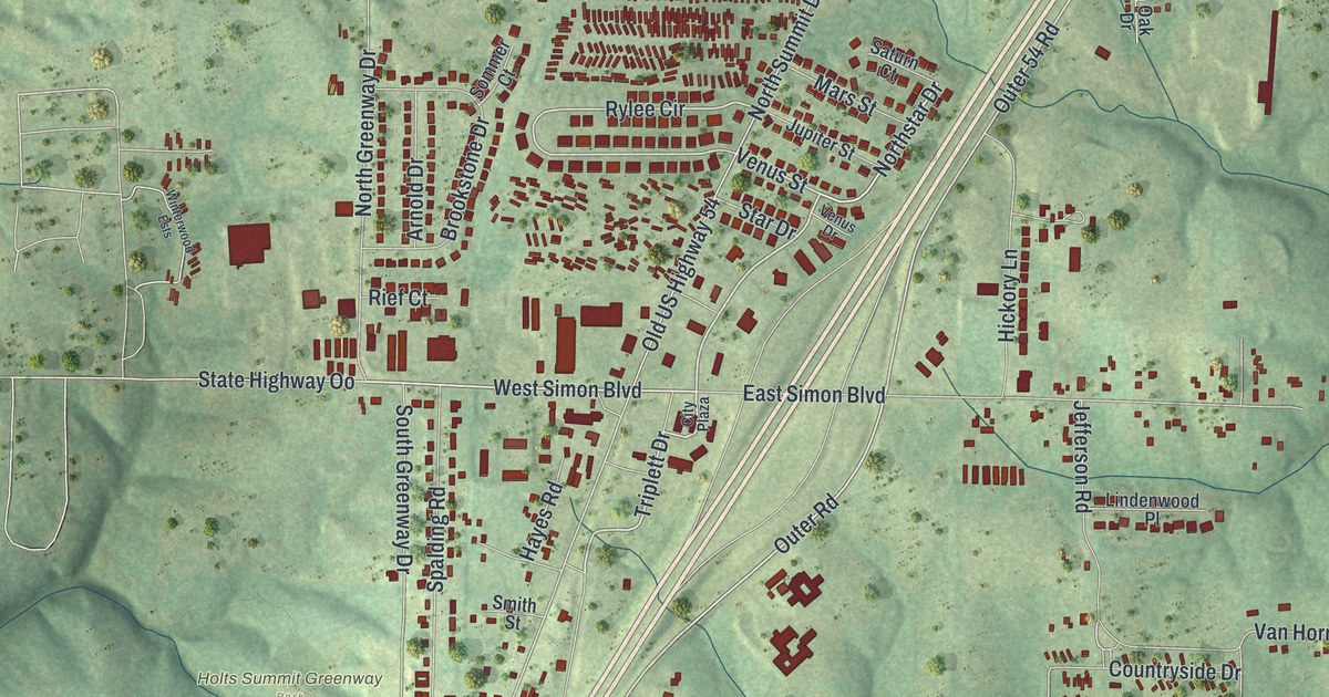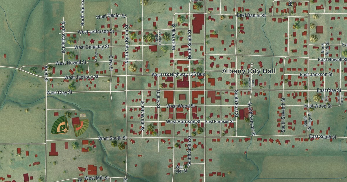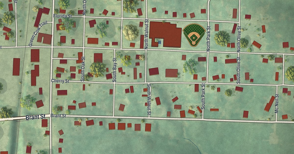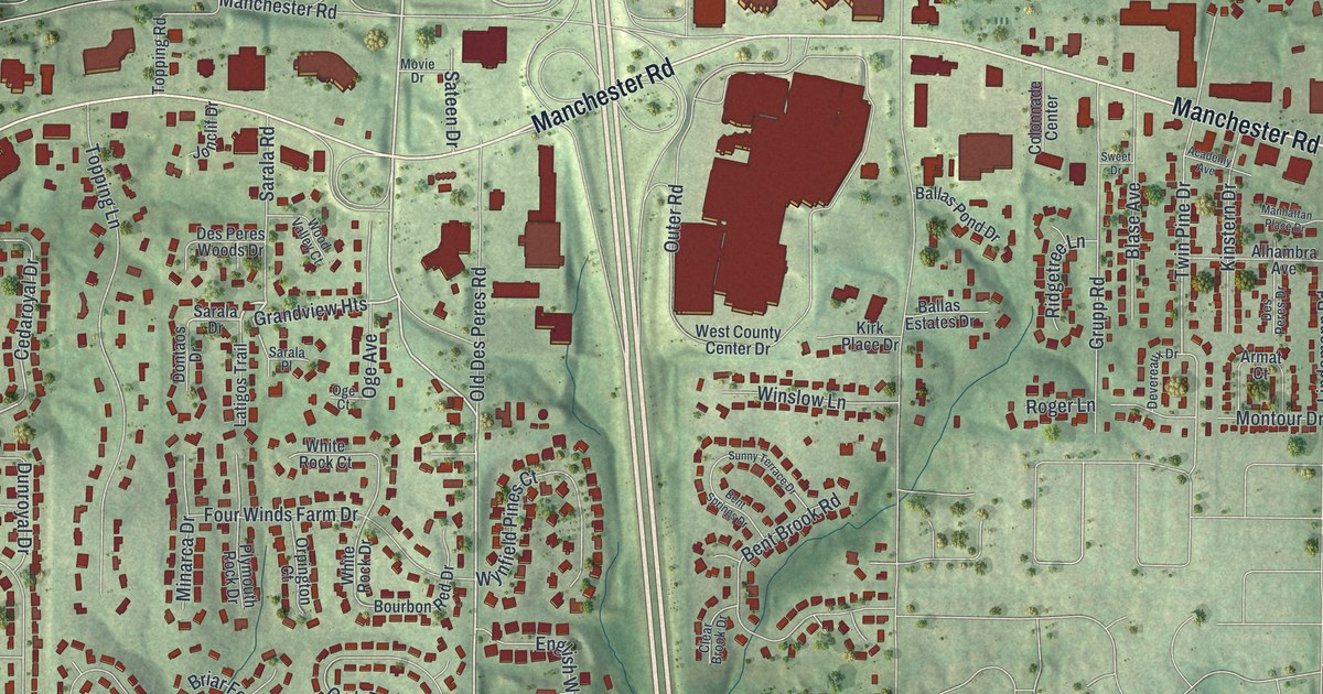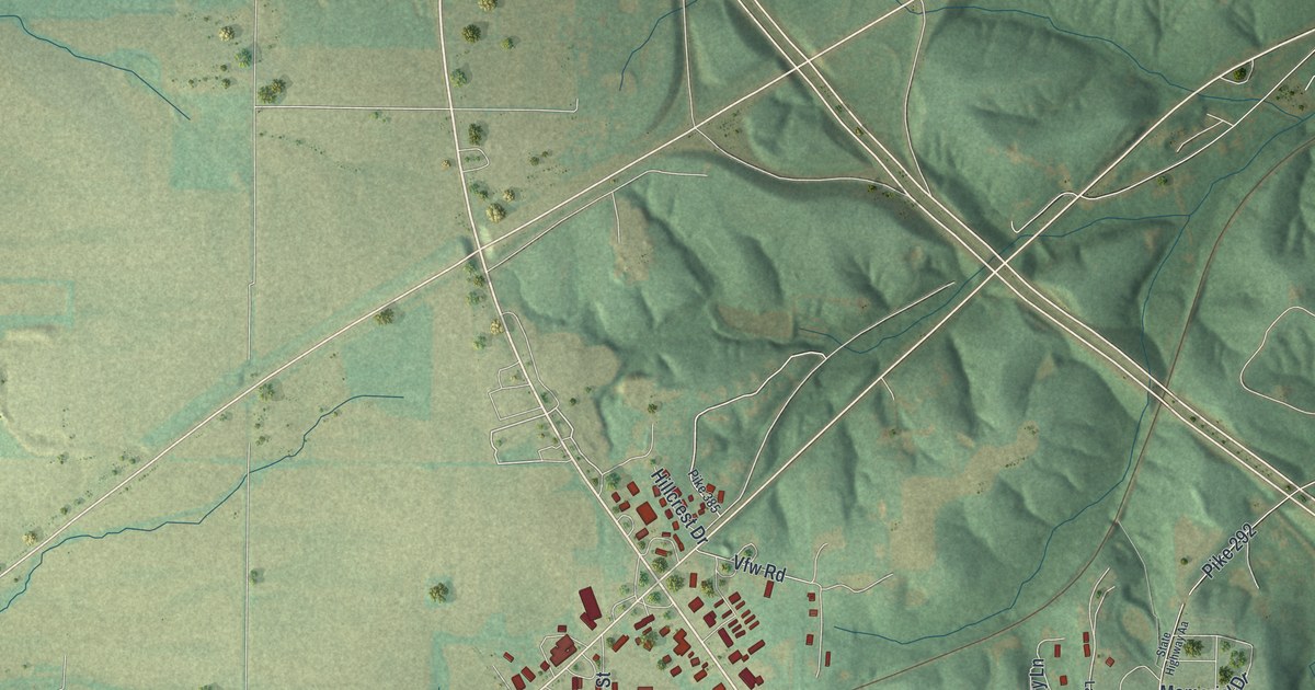
If you grew up in Bowling Green, this print gives your hometown a place on your wall. It's a modern aerial view of Bowling Green in Pike County, Missouri, made with modern data and a vintage feel. Red buildings fill the town's street grid, with green fields and shaded hills around it.
Bowling Green's Kentucky Roots
On this map you'll find West Main Street, East Main Street, East Champ Clark Drive, West Centennial Avenue, South Court Street, West Church Street, West Locust Street, South Business 61, Highway 61, Highway 161, and more. Each red shape is a building, so zoom in on the preview and look for yours.
The State Historical Society of Missouri's place-name account traces Bowling Green's name to its first Kentucky settlers. They named it for Bowling Green, Kentucky, and laid it out on the same plan. On the print, look for West Main Street and South Court Street, and the red buildings of the town around them.
Bowling Green on Your Wall
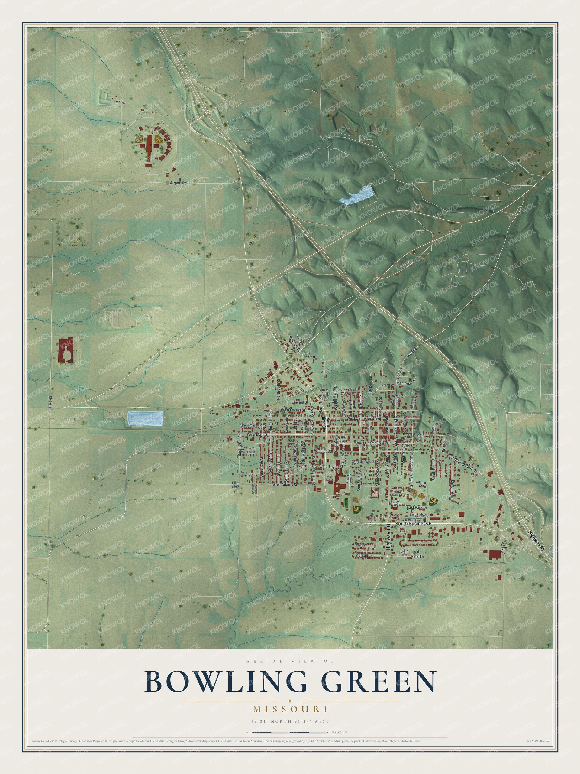
Created by KNOWOL in 2026, the print pairs soft green terrain with red buildings, pale roads and blue water. A cream border surrounds the view. The title panel reads AERIAL VIEW OF, BOWLING GREEN, MISSOURI, with 39°21' NORTH 91°14' WEST below.
Hang it in a living room, home office or entryway to keep Bowling Green close. It's a thoughtful gift for someone with family on West Main Street, or someone who's moved away. Open the preview and look for the blocks you know best. See sizes and frames for the Bowling Green map.