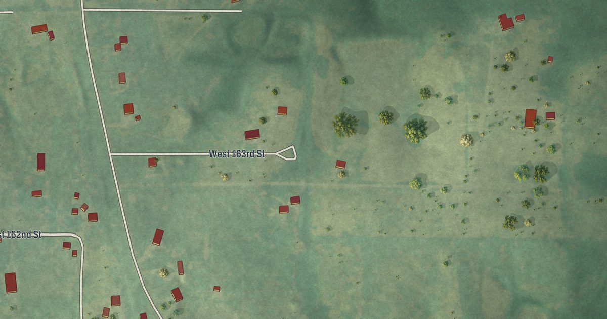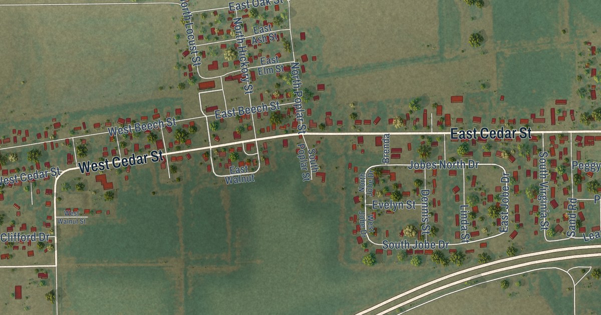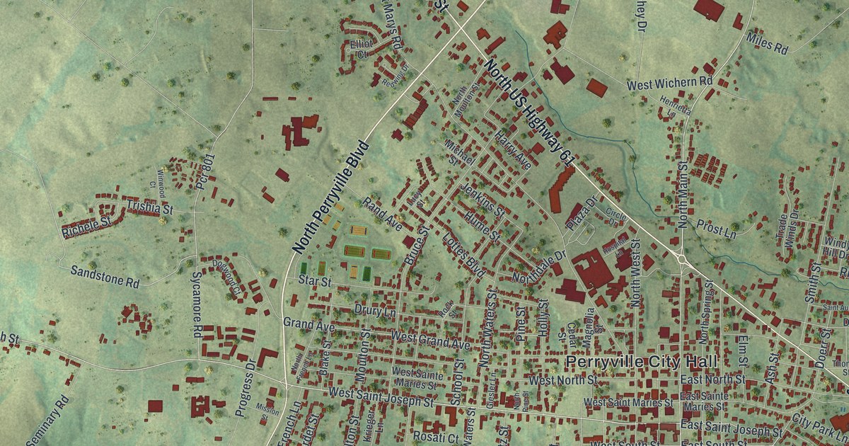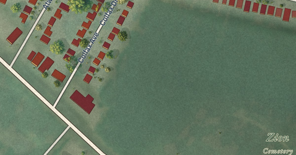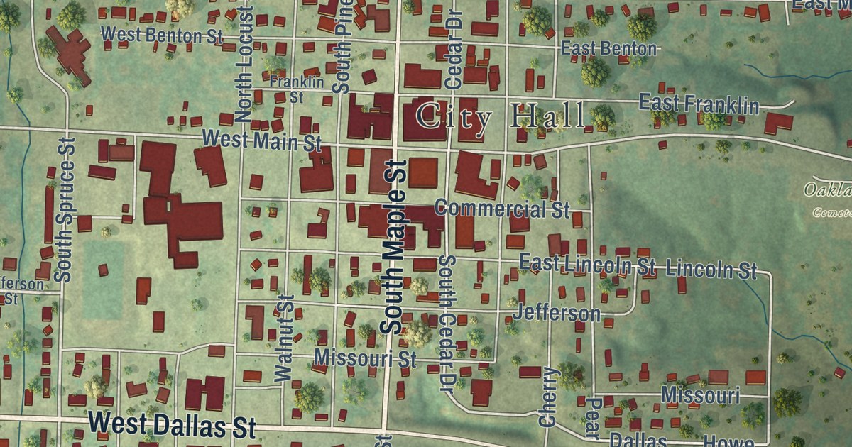
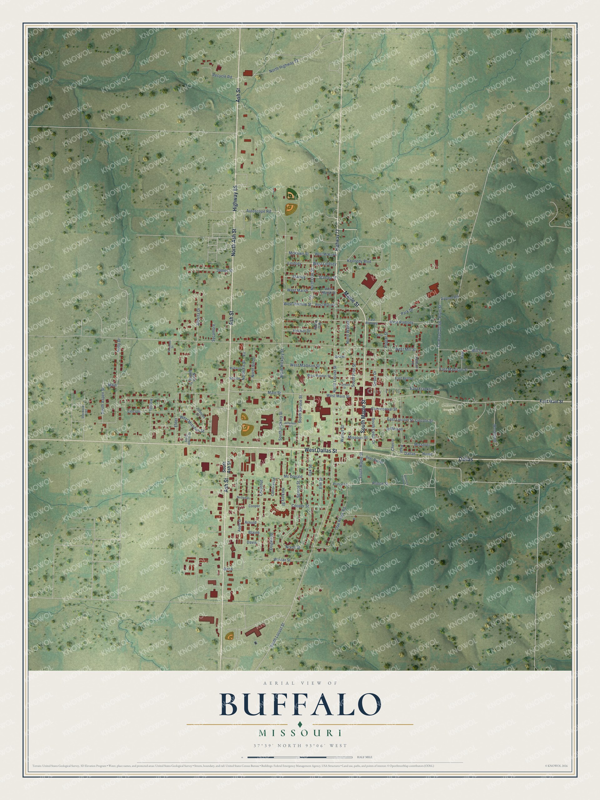
This beautifully detailed map of Buffalo, Missouri was created in 2026 using aerial imagery combined with modern topographical, census, street and landmark data. It’s a one-of-a-kind view of Buffalo that combines accurate data with a vintage aesthetic. The map shows every building in its true location, many of the roads carry their names, and the shaded topographic relief shows the shape of the land.
Explore an aerial view of Buffalo, Missouri
On the map you’ll find City Hall, Oaklawn Cemetery, and Dallas, along with West Dallas Street, South Maple Street, Highway 73, North Ash Street, Ash Street, Maple Street, Highway 65, East Main Street, Spruce Street, and more. If you look closely you can even find your house accurately drawn in its correct location. Zoom in on the preview to look for yours.
Did you know this piece of Buffalo, Missouri history?
Buffalo became the seat of Dallas County, and Levi Beckner built its first courthouse in 1846 and 1847. In October 1863, Confederate troops under General Jo Shelby burned the courthouse before they were forced out. A church serving as the courthouse burned in 1864. The county escaped the worst of the war and quickly returned to normal life. That’s from the Springfield-Greene County Library.
Take a closer look at the Buffalo map
Street and place names on the Buffalo, Missouri map
These names are printed on the map of Buffalo, Missouri.
Places: City Hall and Oaklawn Cemetery.
Streets and roads: West Dallas Street, South Maple Street, North Ash Street, Ash Street, Maple Street, Highway 65, Dallas, Spruce Street, North Oak Street, Main Street, Nixon Street, South Spruce Street.
More street names, A to Z
Airport Road, Alberta Drive, Apple Drive, Arnold, Autoscope Road, Benton, Birch, Blaine, Butler, Cedar Drive, Cherry, Chestnut, Commercial Street, Cooper, Cooper Street, Cottonwood, County Road Dd-66, Davis, Deer Run Drive, Dogwood, East Benton, East Franklin, East Lincoln Street, East Madison Street, East Main Street, East Ramsey, Elder, Elm Street, Fir, Franklin Street, Grant, Haw, Hickory Street, Highway 73, Holly Drive, Hooker Drive, Howe, James Street, Jefferson, Jefferson Street, Johnson Drive, Kennedy Boulevard, Lincoln, Lincoln Street, Lindsey, Madison, Main, McDaniel, Mc Donald, McKown Street, Mill Street, Missouri, Missouri Street, North Alberta Street, North Birch, North Fir Street, North Hickory Street, North Highway 73, North Locust Street, North Oak, North Walnut, Oak Drive, Oak Ridge Road, Oak Street, Park Drive, Pear, Pinecrest Street, Plum Street, Poplar Street, Prince Lane, Prince Street, Recycle Road, Redbud Lane, Sherwood Trail, South Alberta Street, South Ash Street, South Aspen Street, South Cedar Drive, South Hickory Street, South Locust Street, South Pine Street, Stanley, Stanley Street, Sycamore, Unnamed Driveway, Walnut Street, West Benton Street, West Lindsey, West Madison Street, West Main Street, West Marsh, West Marsh Street, West McKown, West Mill Street, West Missouri Street, West Morrow, West Morrow Street, West Ramsey, Wicker Street, Willow, Woodland.
See the Buffalo, Missouri map on a wall
The Buffalo map as an 18 x 24 inch print in a black frame.

This beautifully detailed map of Buffalo makes an attractive addition to your office, library, or den, and it can even be used to teach children the geography and history of the area. It also makes a great gift for anyone who grew up in Buffalo or moved away. When you’re done exploring, click here to get your copy of the Buffalo map.