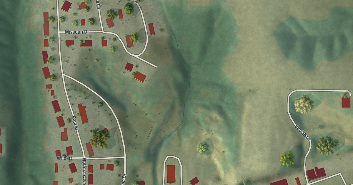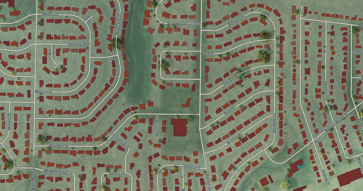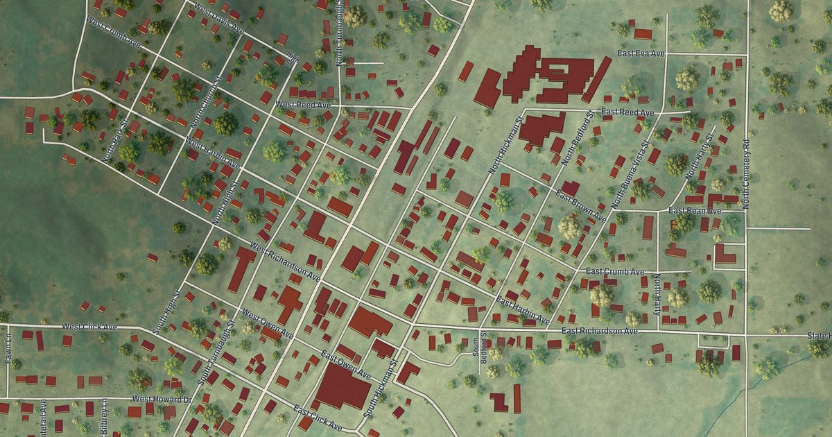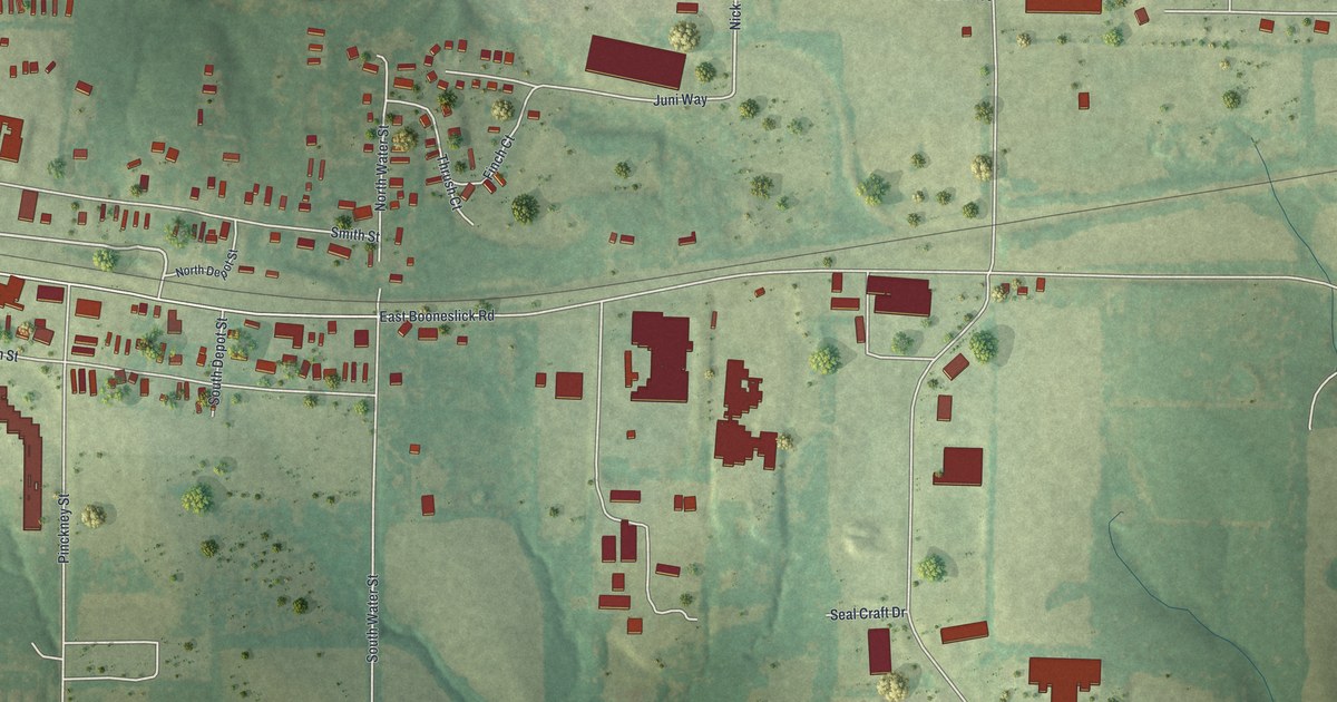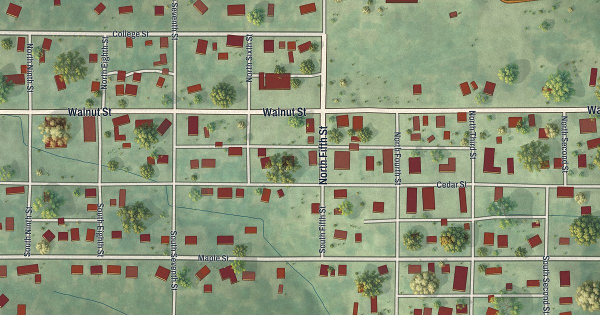
If you grew up in Union Star, look for your old block. This modern aerial view of Union Star in DeKalb County, Missouri pairs modern data with a vintage feel. Red buildings fill the street grid, with green fields and winding creeks around town.
Main Street and Union Star's early days
On this map you'll find Main Street, Walnut Street, College Street, Maple Street, Cedar Street, Linn Street, Locust Street, North Fifth Street, South Second Street, County Line Road, and more. Each red shape is a building, so zoom in on the preview and look for yours.
Union Star's story starts with the land beneath those blocks. The 1888 Goodspeed history names David Miller as the town site's first settler. He came to the township about 1844 and improved the land. The town was later built on that ground. Today's map lets you study the town that followed, with Main Street and Walnut Street among its named roads.
Keep Union Star close
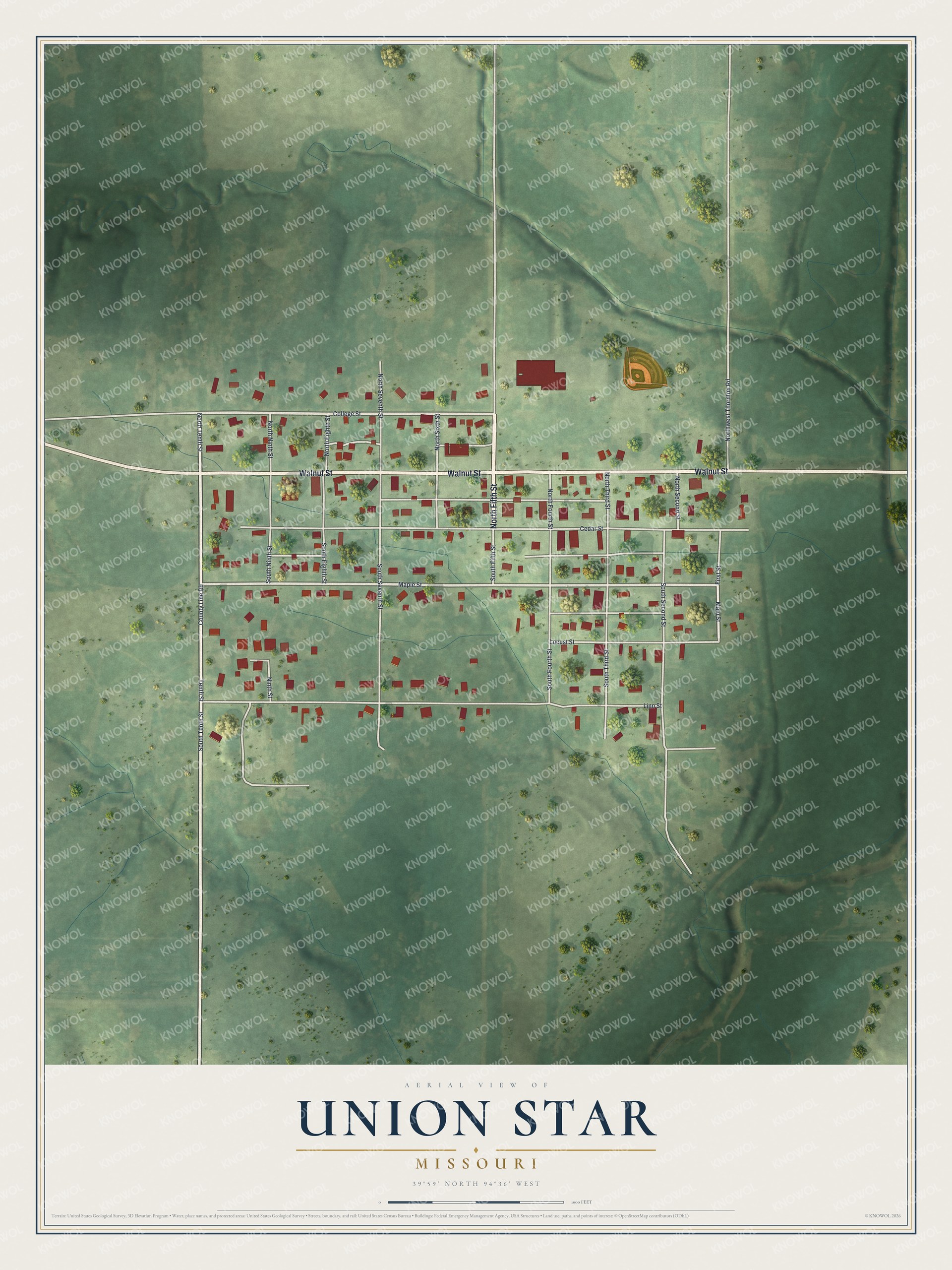
Created by KNOWOL in 2026, the print pairs soft green terrain with red buildings and pale roads. A cream border surrounds the view. The title panel reads AERIAL VIEW OF, UNION STAR, MISSOURI, with 39°59' NORTH 94°36' WEST below.
Hang it in a living room, home office, or entryway. It's a gift for someone who grew up near Walnut Street and moved away. Open the preview to look for the block you'd want to keep close. See sizes and frames for the Union Star map.