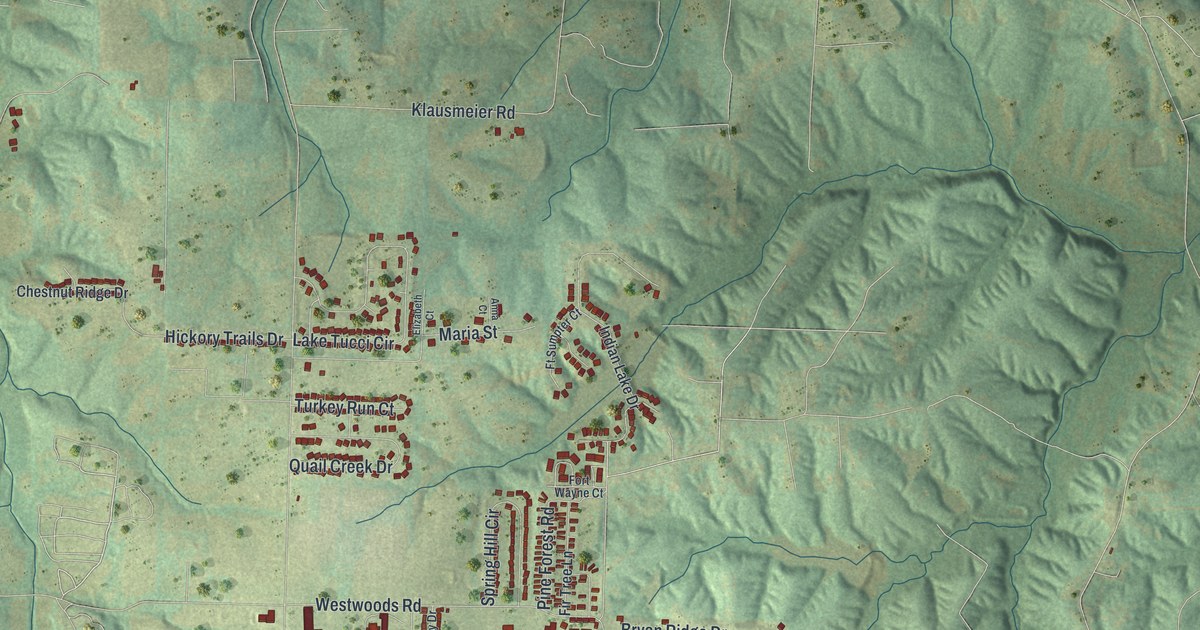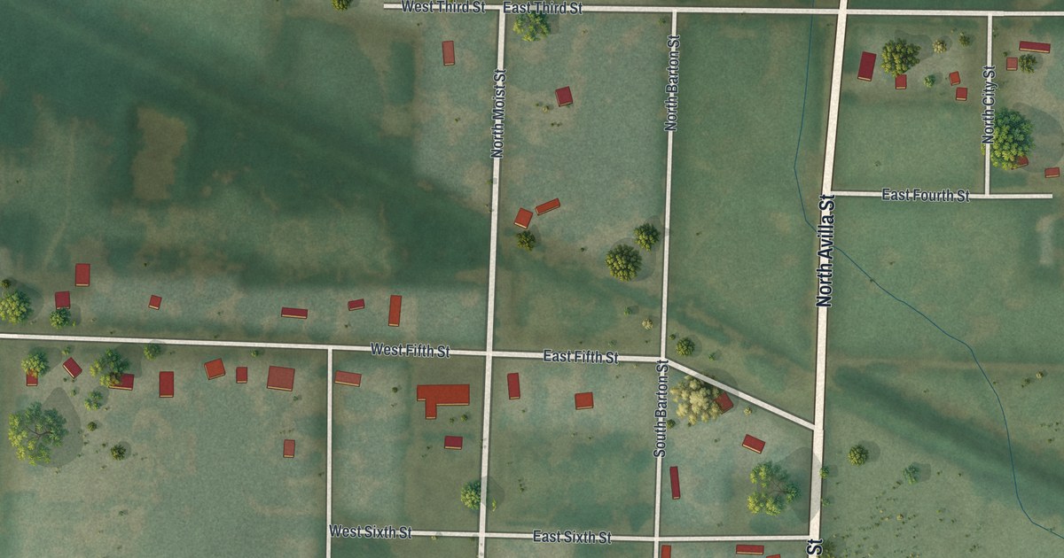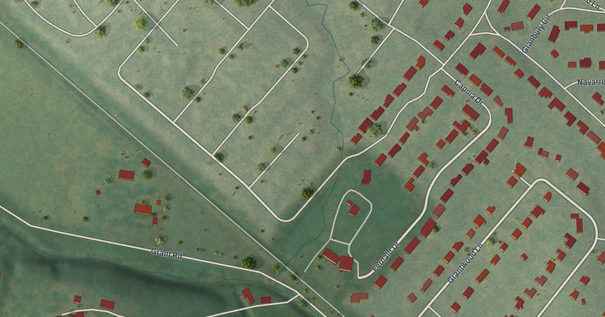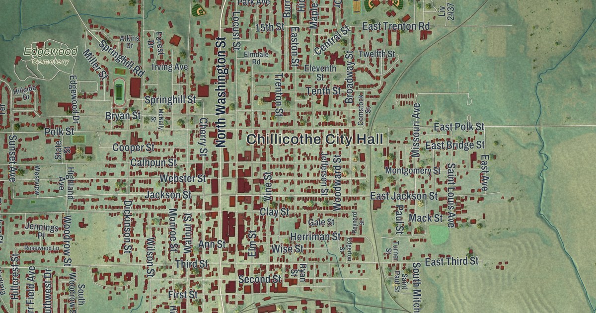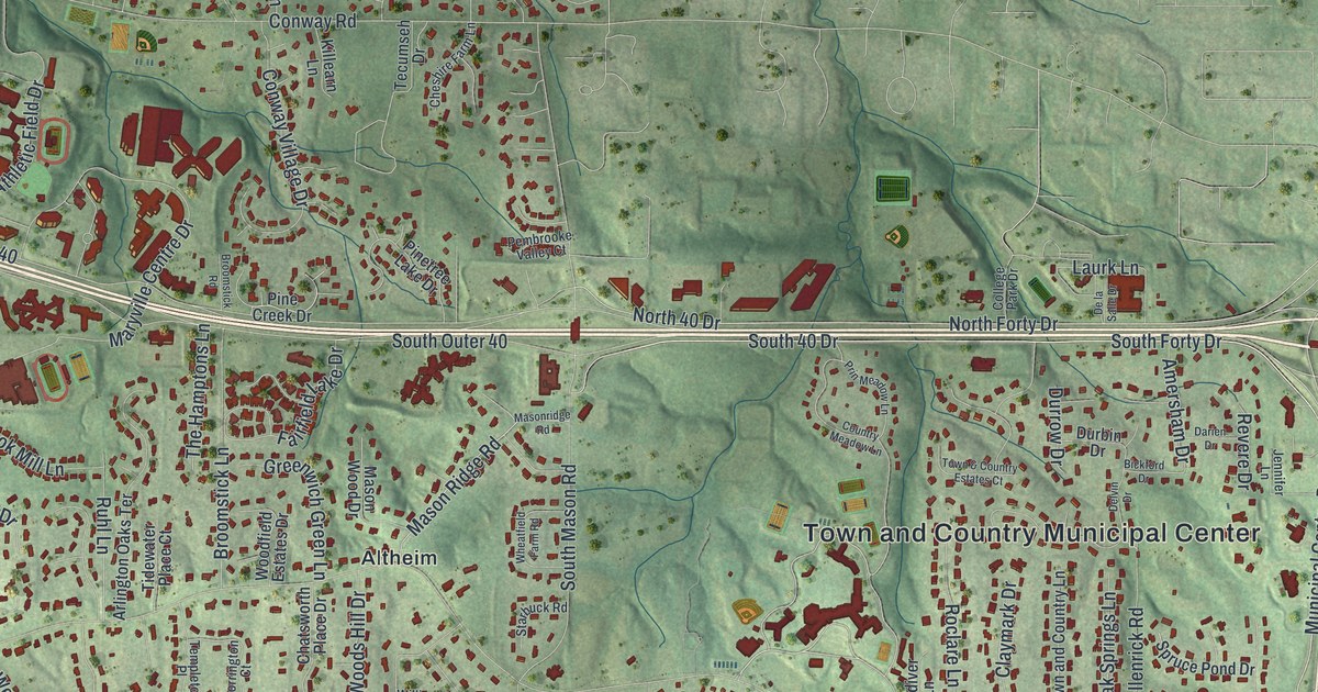
If you grew up on a street off Mason Road or Clayton Road, you can find it on this map. It's a modern aerial view of Town and Country, made from modern data with a vintage feel, in St. Louis County, Missouri. Soft green hills and creek valleys fill the sheet. Thousands of small red shapes mark the buildings along curving streets. Two little blue lakes sit in the hills up north.
Mason Road, Clayton Road and Your Street
On this map you'll find Clayton Road, Mason Road, Woods Mill Road, Des Peres Road, Topping Road, Ladue Road, South Outer 40, Masonridge Road, Post Oak Road, Town and Country Municipal Center, Bellerive Country Club, Crystal Lake Park, Altheim, and more. Each red shape is a building, so zoom in on the preview and look for yours.
The Pappas House on Masonridge Road
Town and Country is a city of homes. The Census Bureau counted 11,640 people here in 2020. One house in town has a spot on the National Register of Historic Places. It's the Theodore A. Pappas House, at 865 Masonridge Road. It was added to the list in February 1979. Masonridge Road is printed on this map, so you can find the street it stands on.
The Register lists another place nearby. It's called Jarville, and its address is 1723 Mason Road. It was added in 1984. Mason Road is printed on the map too.
From Bellerive Country Club to Crystal Lake Park

Created by KNOWOL in 2026. The print shades the hills and creek valleys in soft greens and marks each building in deep red. Two small blue lakes and a pale green golf course stand out near the top. The title panel reads Aerial View of Town and Country, Missouri, with 38°38' North 90°27' West printed below.
It suits a home office, a front hall or a family room. It's a good gift for a golfer who knows Bellerive Country Club, or for someone who moved away from a street off Mason Road. Open the preview and find your block. See sizes and frames for the Town and Country map.