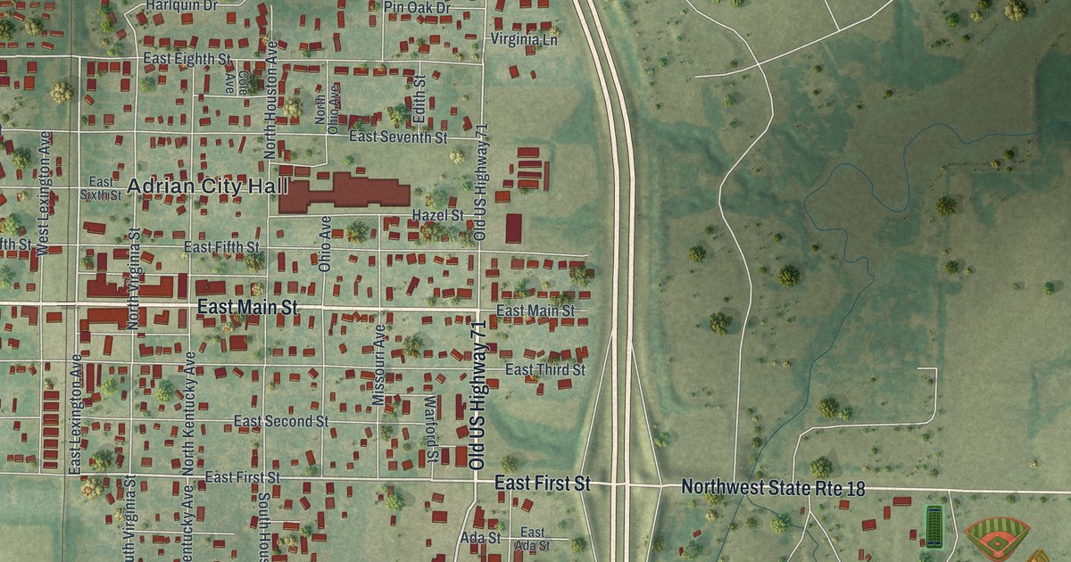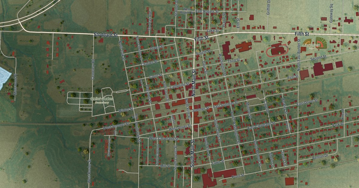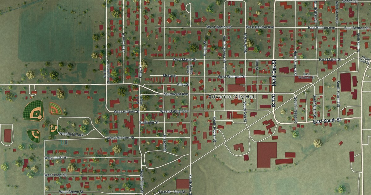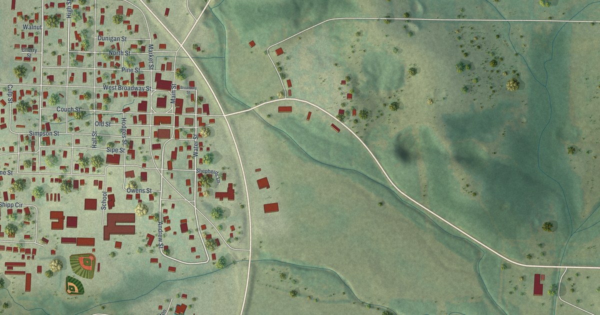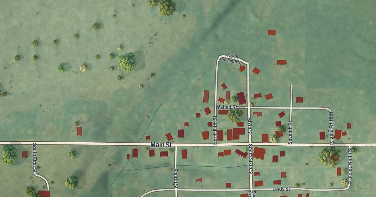
If you grew up in Cosby, or you still have family along Main Street, this map puts the whole village on one sheet. It's a modern aerial view of Cosby, a village in Andrew County, Missouri, made from modern data and given a vintage look. Main Street runs straight across the middle, from one edge of the print to the other. The village sits right where the streets bunch together, with about a hundred buildings marked in red. Green hills, creek valleys and scattered trees fill the land all around it.
Main Street, Walnut Street and Leidy Street in Cosby
Start where Sixth Street crosses Main Street in the middle of town. Walnut Street runs east just north of Main, and Leidy Street runs east just south of it. Both run out toward the east side of the village, where Tate Street runs north and south. To the west, Fourth Street and South Fourth Street reach down past Leidy. Keep going west on Main and you'll find South First Street, a short lane that curves south off Main.
Back in the middle, North Fifth Street, Seventh Street and North Eighth Street head north of Main. Each red shape is a building, and many of the streets are labeled. Zoom in on the preview and look for your house.
Cosby's church classes in the 1888 county history
The 1888 history of Andrew County records church groups in and southeast of Cosby. At that time, the Methodist Episcopal Church had a small class in the village. The book says they were getting ready to build "a suitable house of worship." In 1884, the German Methodists built a frame church a mile and a half southeast of Cosby. They started a class the same year, and it kept growing. About four and a half miles southeast, a society of the Albright Church had started around 1879.
Look at the lower right part of the print, below Leidy Street. The land drops into long ridges and creek valleys. The book places the German Methodist church and the Albright society southeast of Cosby.
For someone who knows Main Street in Cosby
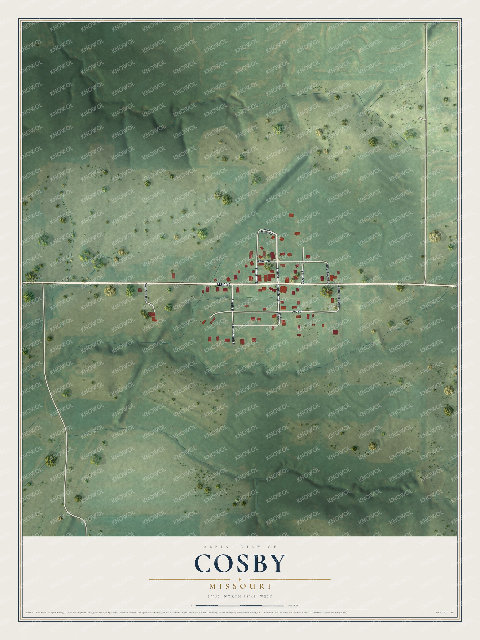
Created by KNOWOL in 2026, this Cosby map shows shaded hills, winding creeks and buildings marked in deep red. The title panel reads "Aerial View of Cosby, Missouri" with the coordinates 39°52' North, 94°41' West and a scale bar.
It fits a kitchen, a den or a farmhouse hallway. It's a warm gift for someone who grew up near Main Street in Cosby and moved away, or for family who still lives in Andrew County. Open the preview, zoom in and find the streets you know. See sizes and frames for the Cosby map.