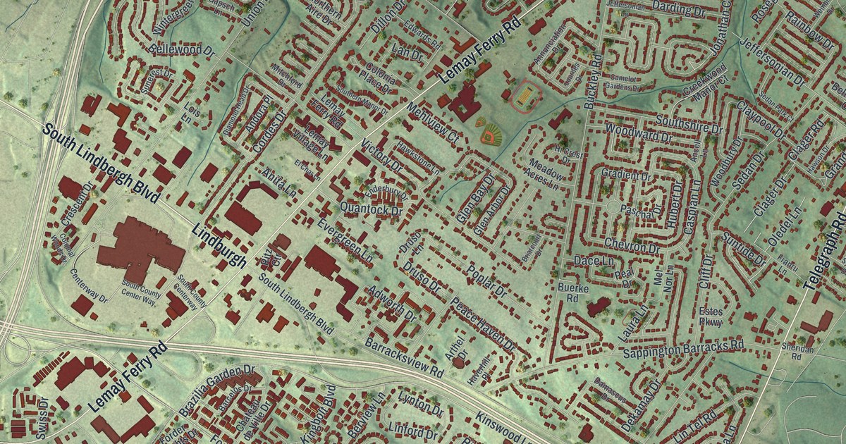
If you grew up near Lemay Ferry Road, here's a map to keep home close. This modern aerial-view map uses current data with a vintage feel to show Mehlville in St. Louis County, Missouri. Red buildings fill the winding streets, with green land around them. A wide blue river borders the right edge of the print.
Lemay Ferry Road and Mehlville's Streets
On this map you'll find Lemay Ferry Road, Telegraph Road, South Lindbergh Boulevard, Forder Road, Ringer Road, Buckley Road, Union Road, Sappington Barracks Road, Mehl Avenue, Mattese, and more. Each red shape is a building, so zoom in on the preview and look for yours. Mehlville had 28,955 residents in the 2020 census.
The State Historical Society of Missouri's Ramsay Place Names File lists a post office established in 1886 and discontinued in 1904 in central Carondelet Township. On the print, the Saint Louis County Government Center is labeled near the middle, Mattese sits at the lower left, and Telegraph Road runs down toward the blue river edge.
Mattese to Telegraph Road on the Mehlville Print
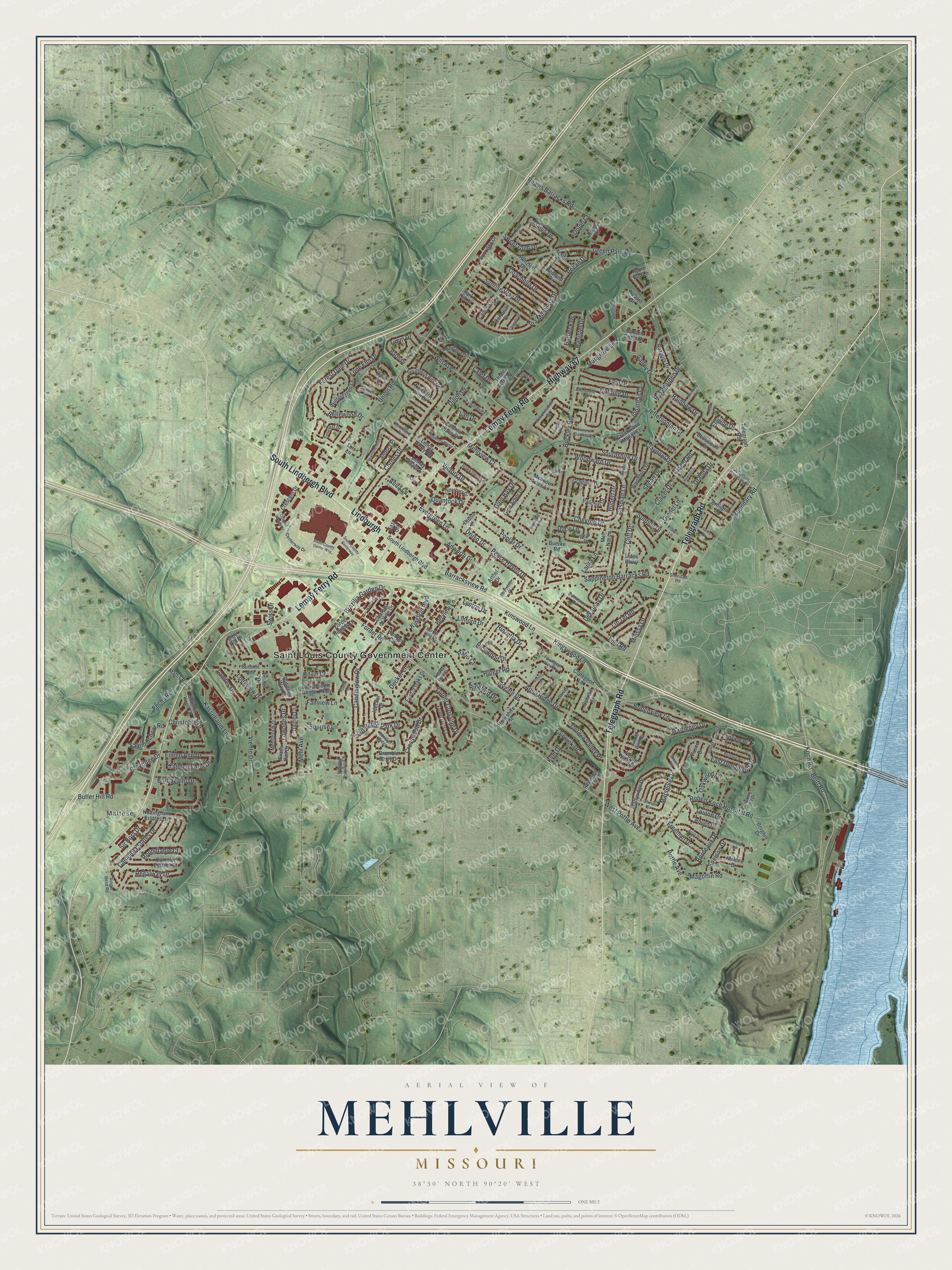
Created by KNOWOL in 2026, the print pairs soft green terrain with red buildings and blue water. A cream border surrounds the view. The title panel reads AERIAL VIEW OF, MEHLVILLE, MISSOURI, with 38°30' NORTH 90°20' WEST below.
Hang it in a living room, office or entryway. It's a gift for someone who grew up near Lemay Ferry Road and now lives far away. Open the preview to find a familiar street and take a closer look. See sizes and frames for the Mehlville map.