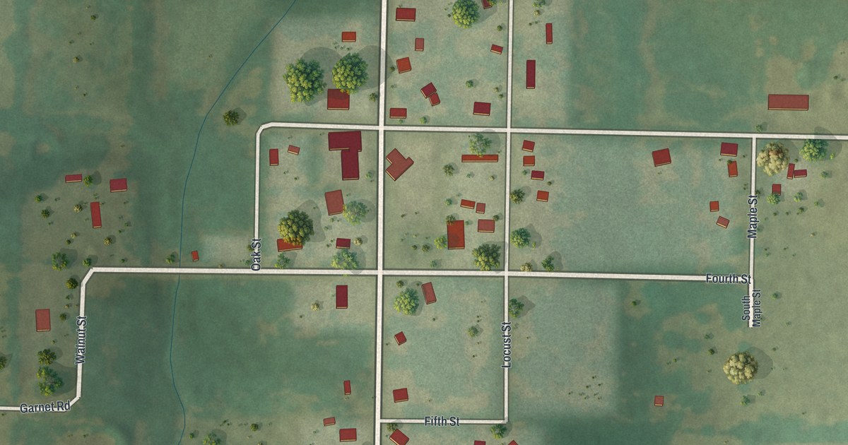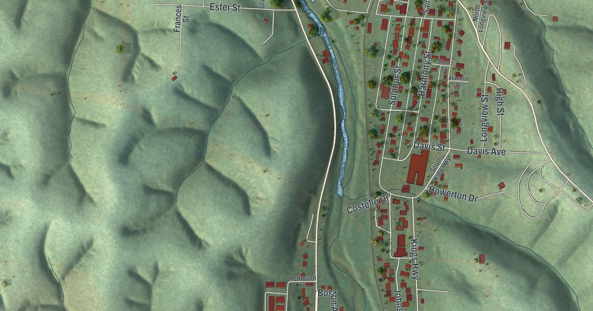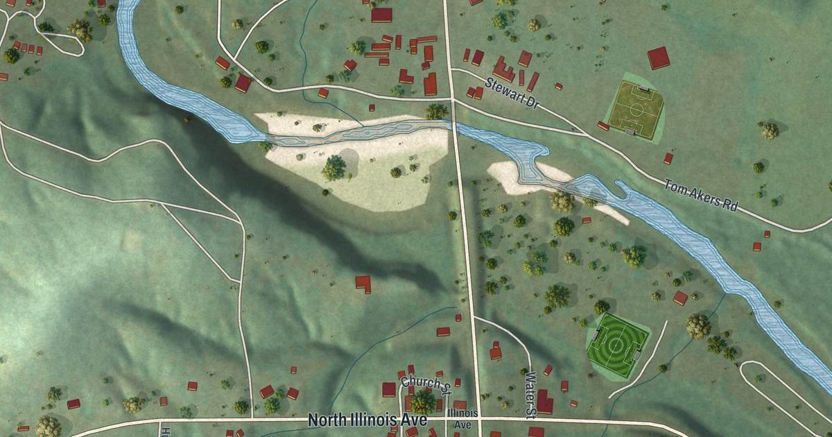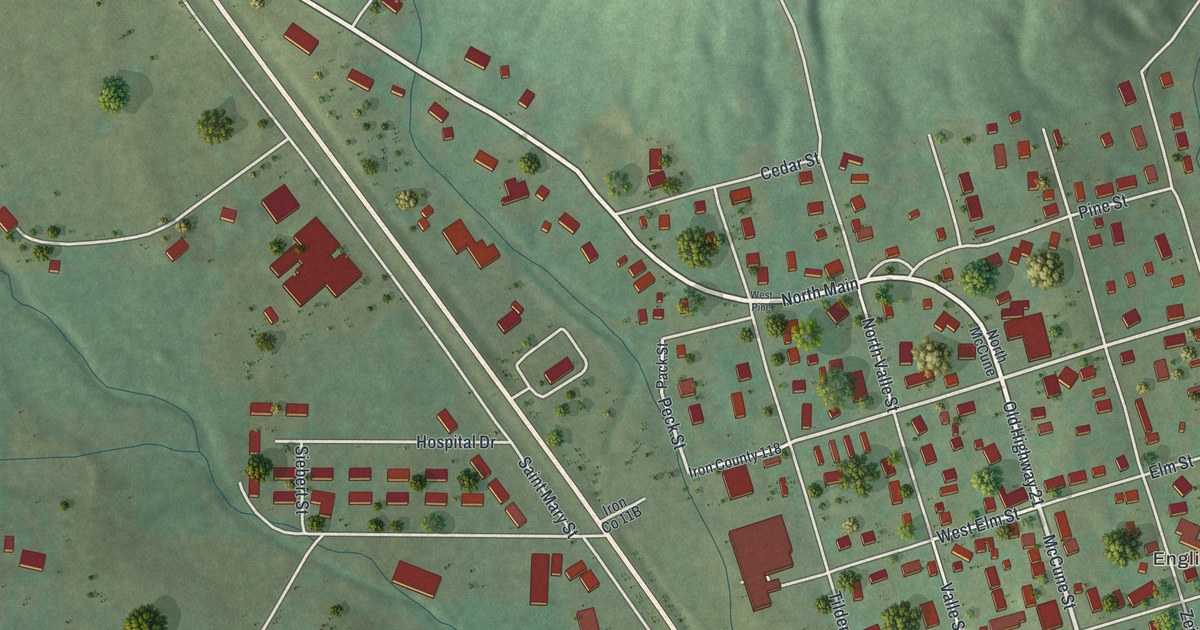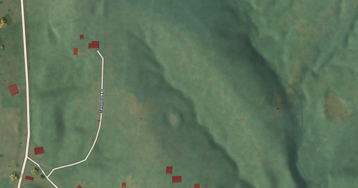
If you have family in McKittrick, this print gives you a way to keep home close. It's a modern aerial view of McKittrick in Montgomery County, Missouri, made with modern data and a vintage feel. Red buildings gather along pale roads, with green hills behind them. A blue waterway curves along the left side of the view.
Main Street and the McKittrick name
On this map you'll find Main Street, Walnut Street, Elm Street, Cleveland Street, Sterline Street, Maggies Lane, Scharnhorst Lane, Penrod Lane, Humm Lane, and more. Each red shape is a building, so zoom in on the preview and look for yours.
The McKittrick name in the title panel has a St. Louis link. The State Historical Society of Missouri's place-name account says the town was named for McKittrick of the Hargadine-McKittrick Dry Goods Company. It also calls him a promoter of the Railway Exchange Building and the M.K. and T.
McKittrick is also home to the McKittrick Farmers Mercantile on Washington Street, which was listed on the National Register of Historic Places in 2010.
McKittrick's streets on your wall
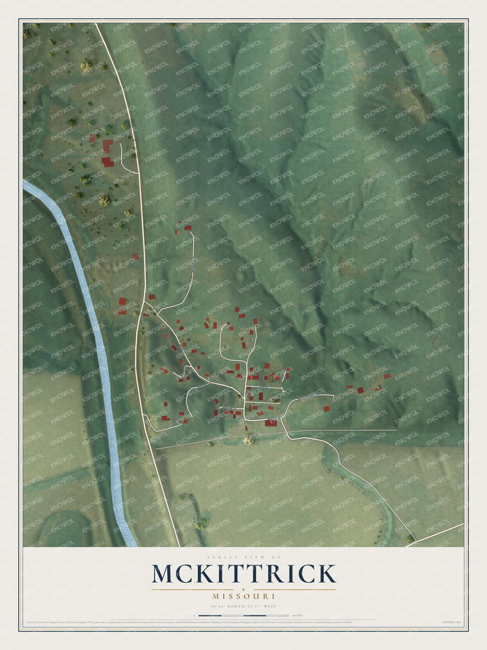
Created by KNOWOL in 2026, the print pairs green terrain, blue water and red buildings with a cream border. The title panel reads AERIAL VIEW OF, MCKITTRICK, MISSOURI, with 38°44' NORTH 91°27' WEST below.
Hang it in a living room, entryway or home office. It's a thoughtful gift for someone with family on Main Street, or someone who moved away from McKittrick. Open the preview and take a closer look at the streets you know. See sizes and frames for the McKittrick map.