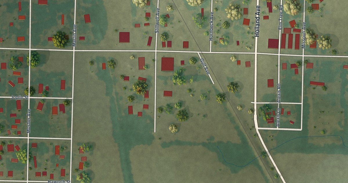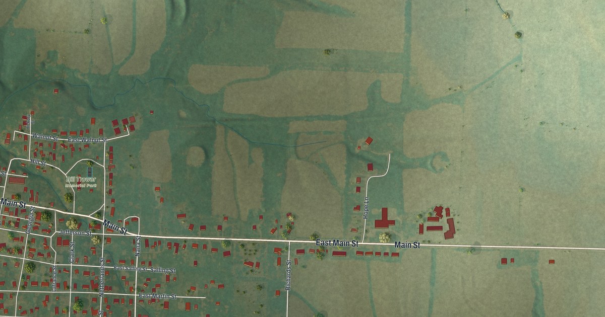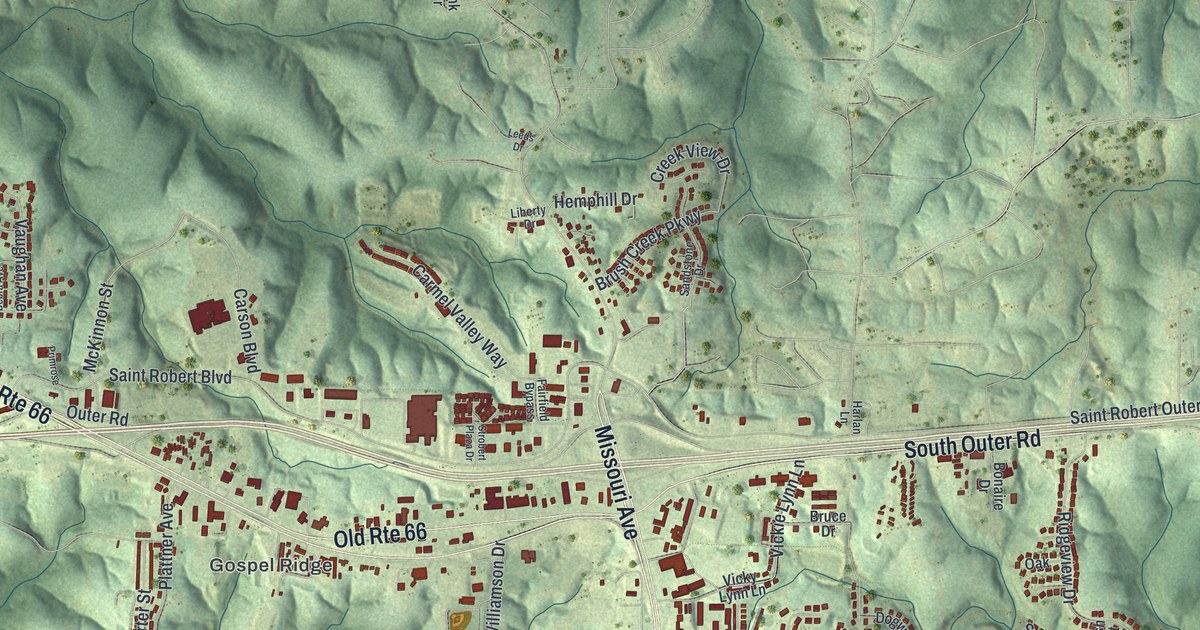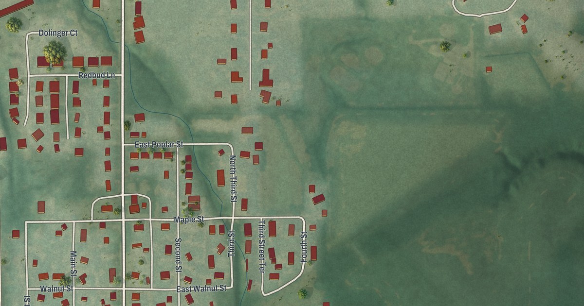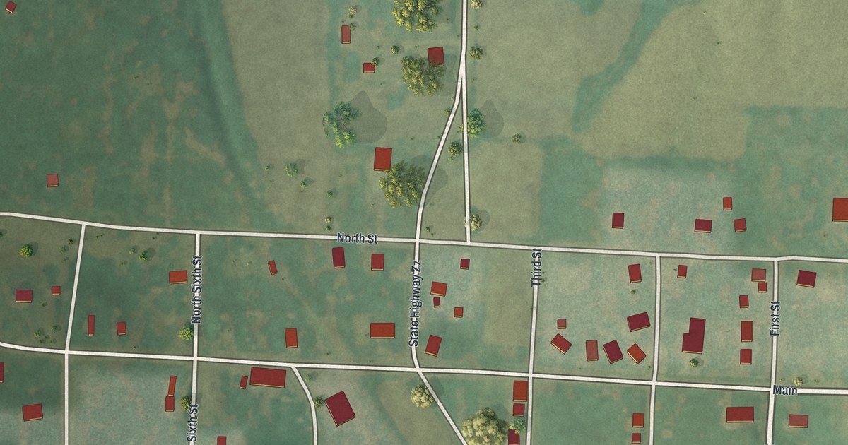
If you grew up in McFall, or your family still has a place on Main Street or White Street, this map is for you. It's a modern aerial view of McFall in Gentry County, Missouri, made from modern data and given a vintage look. The whole town sits near the middle of the sheet. Its streets run from First Street to Eighth Street, with small red buildings along each block. Green farm fields and tree lines spread out on every side.
The Streets of McFall, From First to Eighth
On this map you'll find Main Street, White Street, First Street, Second Street, Third Street, Fourth Street, Seventh Street, Eighth Street, North Street, South Street, East Lawrence Street, West Lawrence Street, City Limit Street, 425th Street, and more. Each red shape is a building, so zoom in on the preview and look for yours.
Look at the land, too. A wide, low green valley cuts across the sheet at a slant. It passes right through town. Thin creek lines branch out from it into the fields to the north.
Theron Sweat of McFall and His Prize Boar
McFall shows up in a 1922 county history. The book tells of a show with a class for the best boar. Theron Sweat, of McFall, took first place. The writer called it probably the most outstanding pig in the show.
The same book mentions a man named Brown, from Daviess County, who furnished the lumber and had just started a lumber business at McFall. Today, the map shows 107 red buildings around town.
Keep Main Street and White Street Close
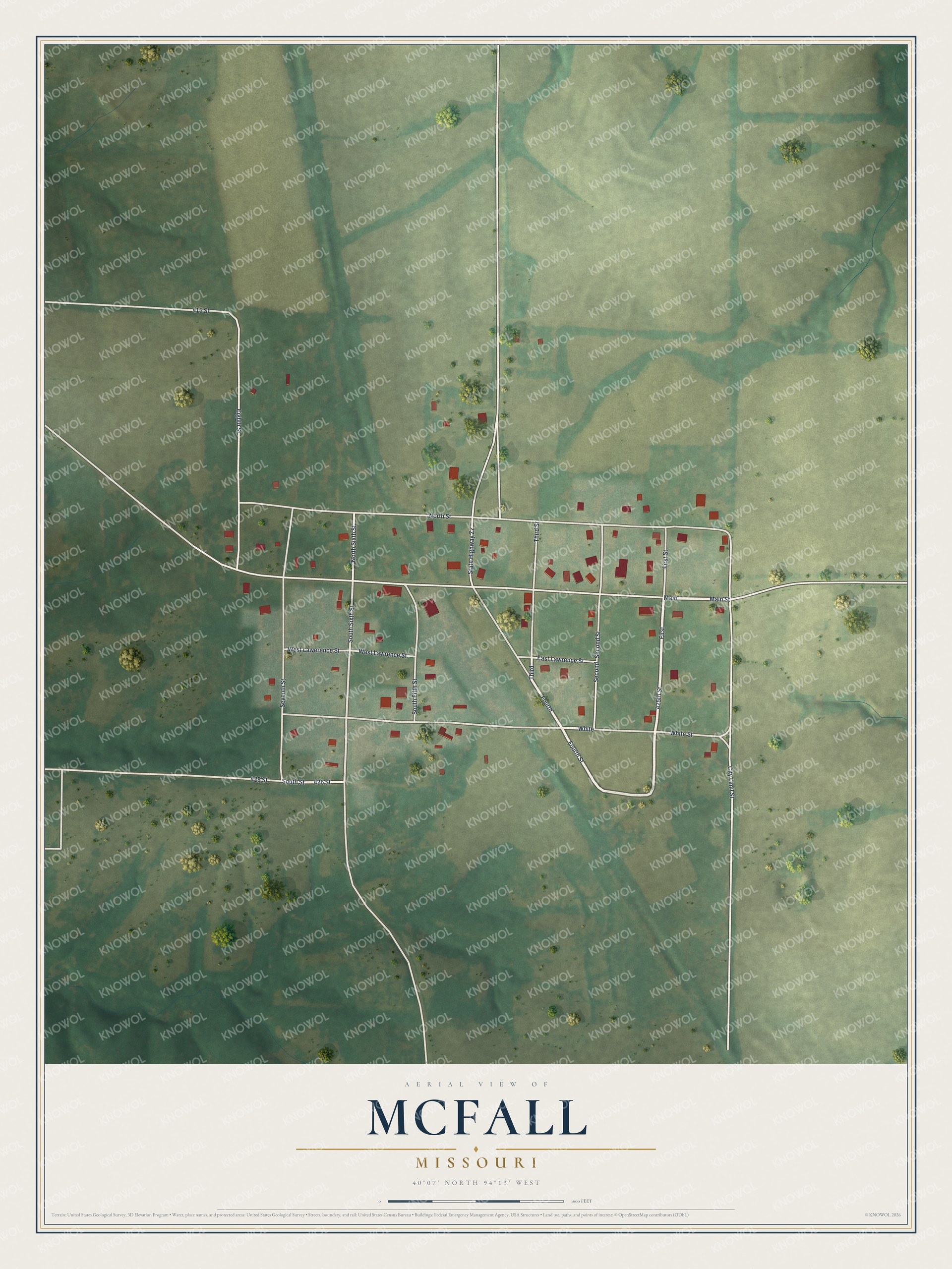
Created by KNOWOL in 2026, this print shows McFall from above in soft greens, with cream roads and red buildings. The title panel reads "Aerial View of McFall, Missouri" and gives the spot as 40°07' North 94°13' West.
It fits well in a kitchen, a front room or an office. It makes a good gift for anyone who grew up near Main Street in McFall, or who moved away from Gentry County and still thinks of home. Open the preview and find your street. See sizes and frames for the McFall map.