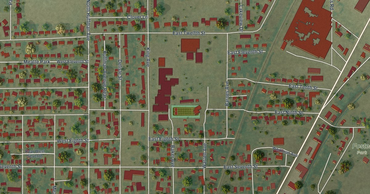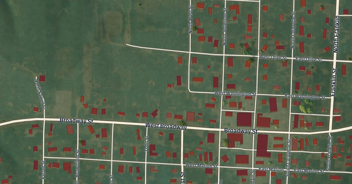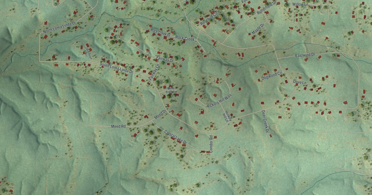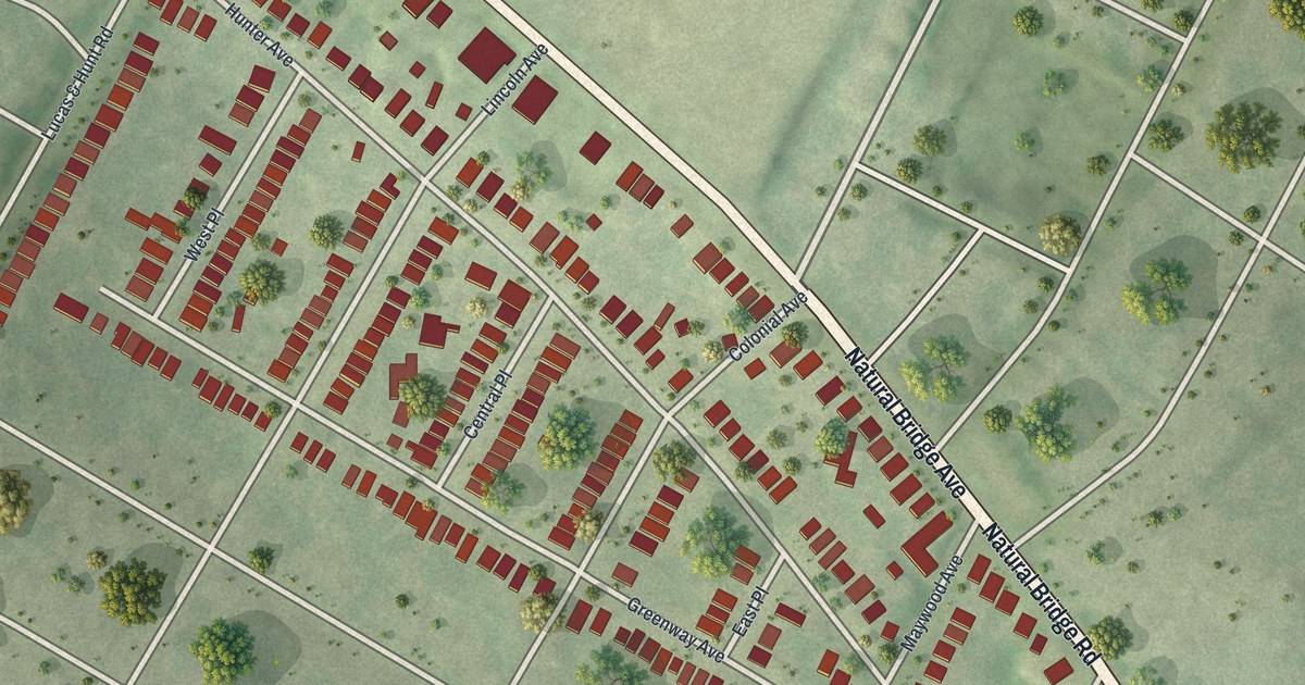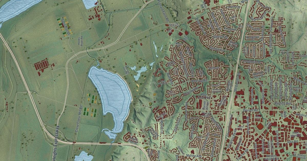
If you grew up in Maryland Heights, look for your old street here. This modern aerial view uses modern data with a vintage feel to show Maryland Heights, Missouri, in St. Louis County. Red buildings fill the street grid beside green hills and broad blue water. The view takes in tight rows of homes and wide stretches of open ground.
Dorsett Road and Maryland Heights in 1926
On this map you'll find Dorsett Road, McKelvey Road, Maryland Heights Expressway, Bennington Place, Creve Coeur Mill Road, Marine Avenue, Lackland Road, Riverport Drive, West Port Plaza Drive, Vigus, Benbush, and more. Each red shape is a building, so zoom in on the preview and look for yours.
The historic Ramsay Place Names File records a Maryland Heights post office since 1926. It places the office on a railroad in northwestern Central Township. That's a small glimpse of the town a century before this map. Here, you can study today's Maryland Heights through names like Dorsett Road and McKelvey Road. Small red homes and larger buildings show how much fits into this view.
Keep Dorsett Road close to home
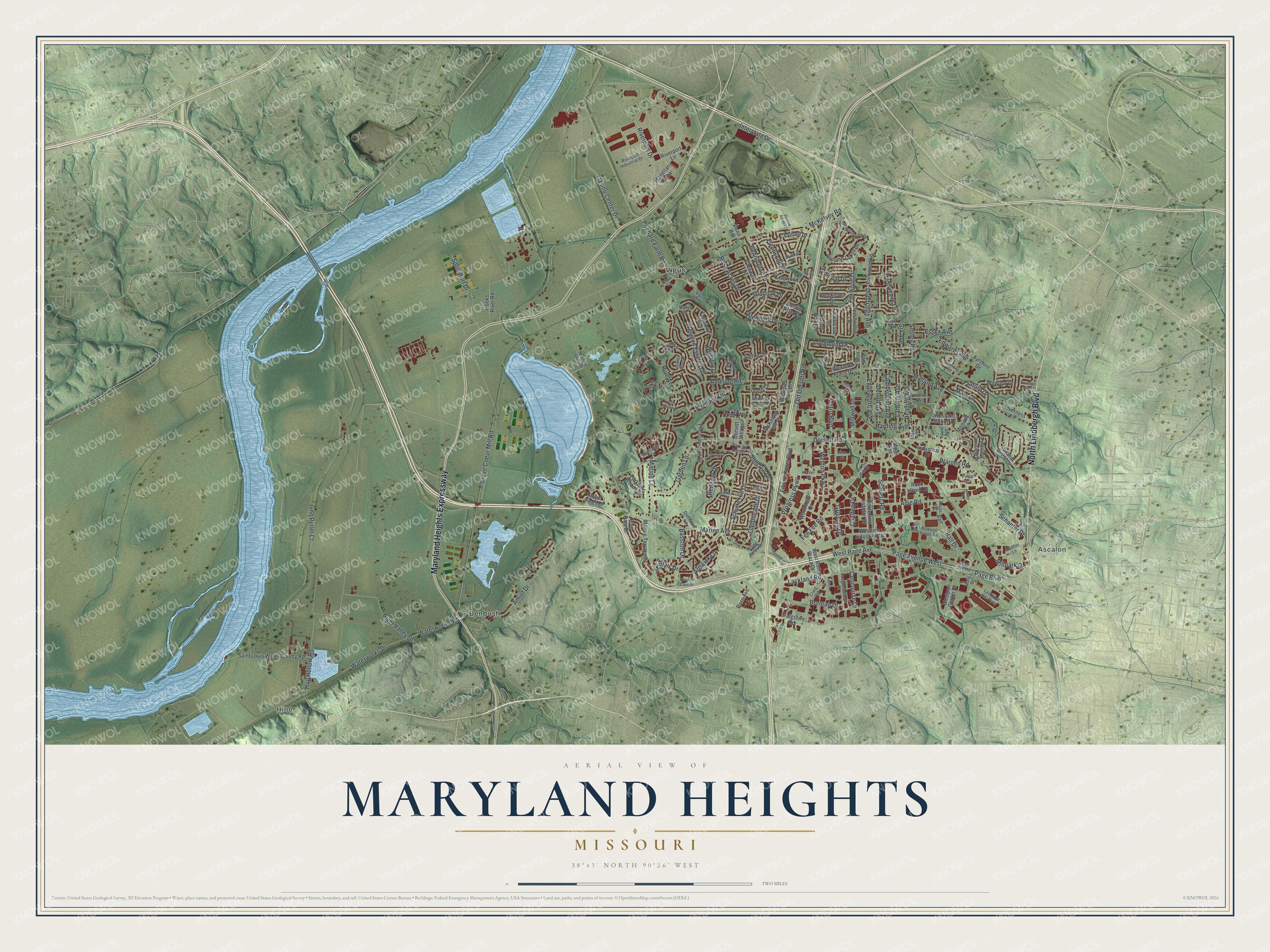
Created by KNOWOL in 2026 using modern map data to build an aerial view with a vintage feel. The print pairs soft green terrain with blue water and red buildings. A cream border surrounds the view. The title panel reads AERIAL VIEW OF, MARYLAND HEIGHTS, MISSOURI, and 38°43' NORTH 90°26' WEST.
It suits a living room, office, or entryway. It's a gift for someone who grew up near Dorsett Road and moved away. Open the preview and look for the streets you'd want to keep close. See sizes and frames for the Maryland Heights map.