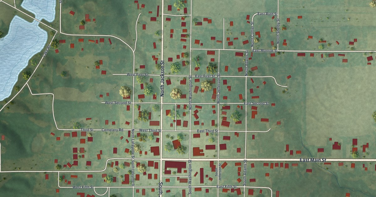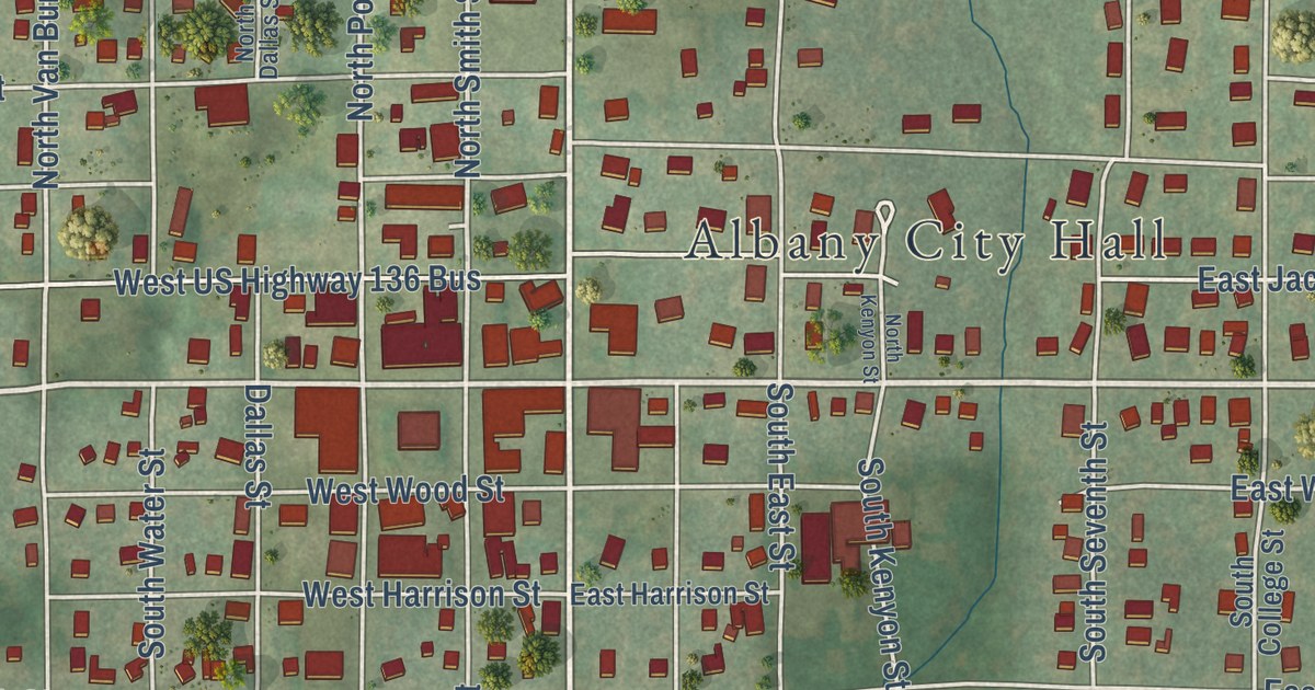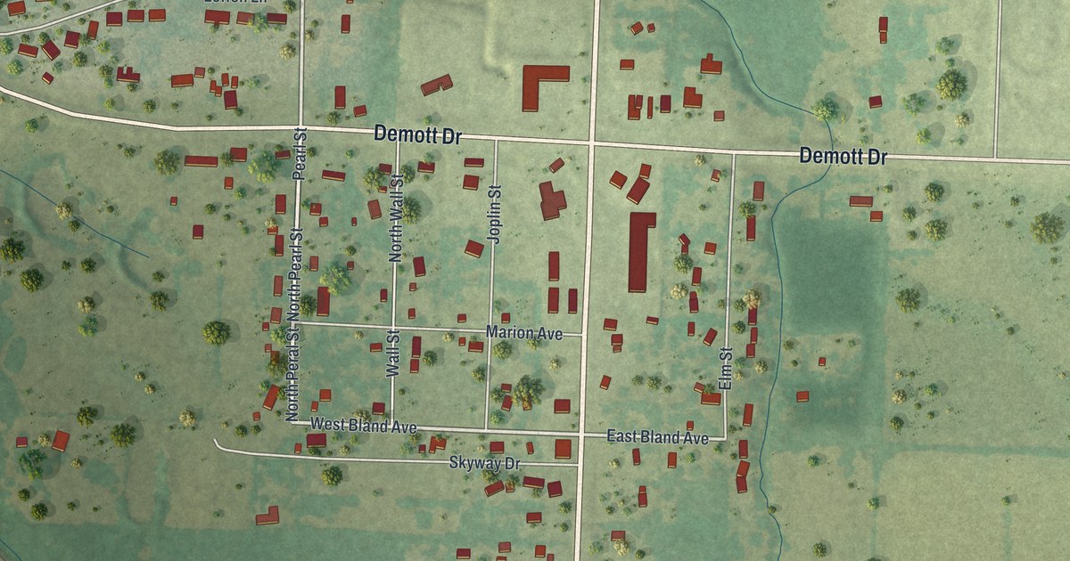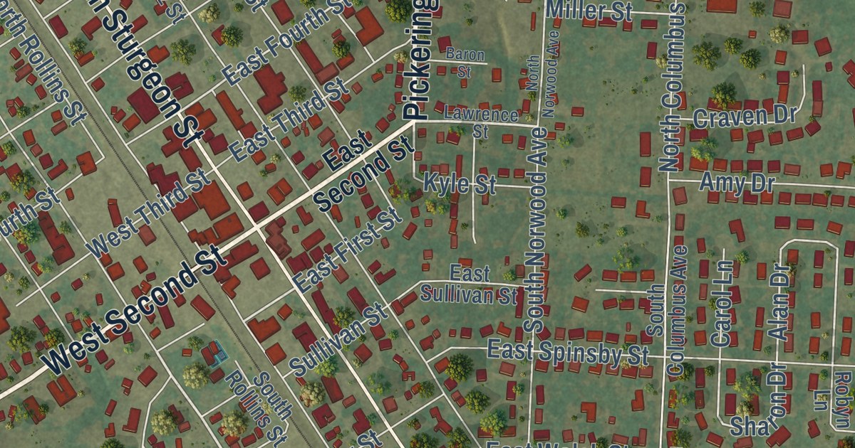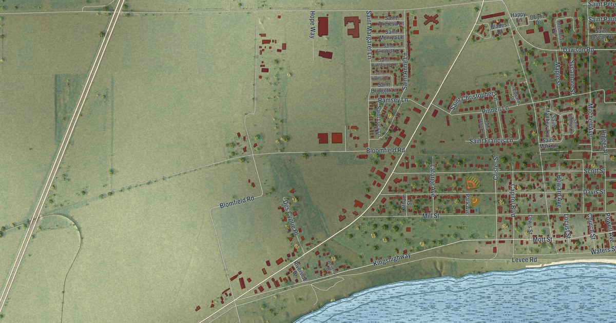
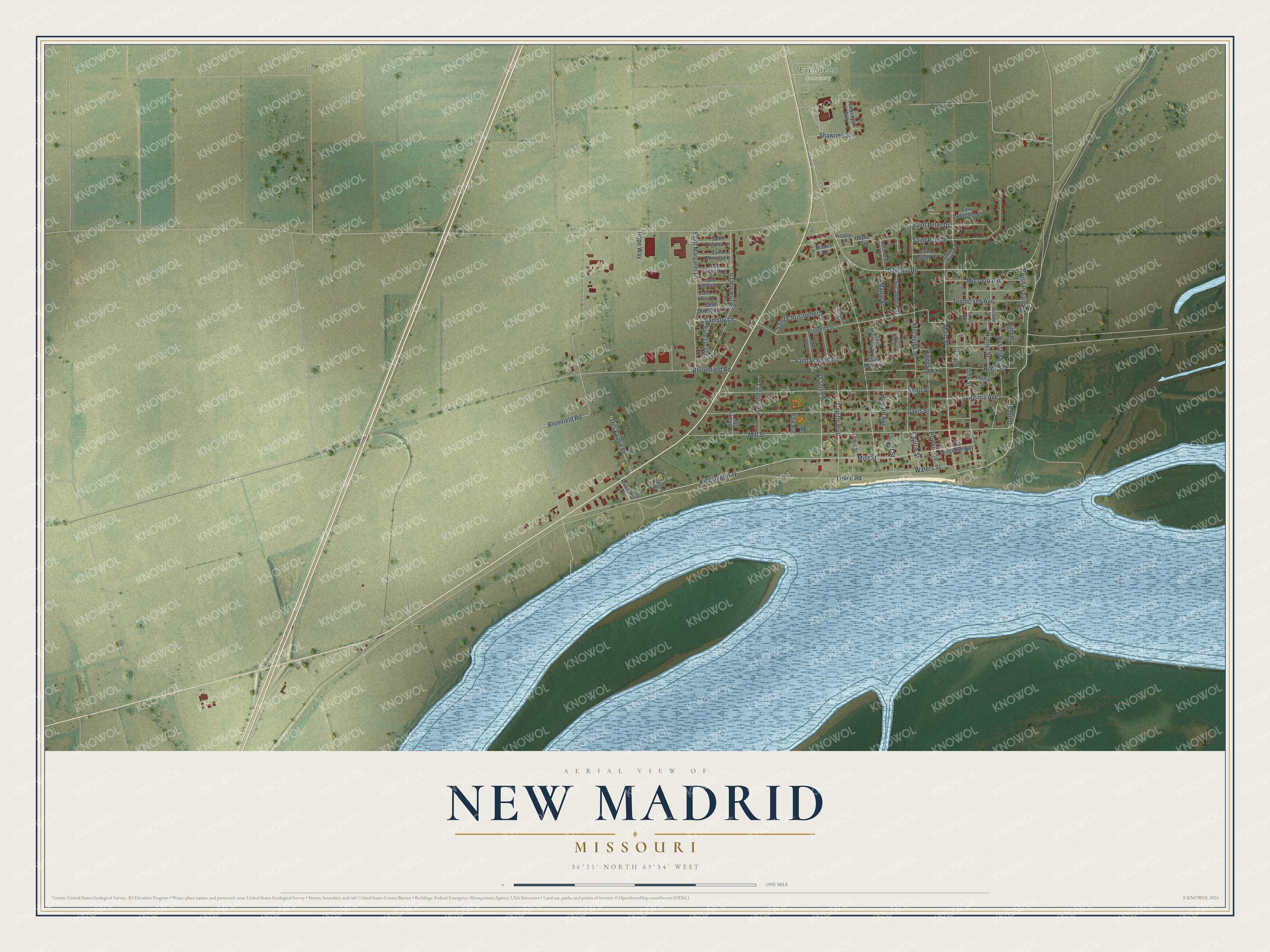
This beautifully detailed map of New Madrid, Missouri was created in 2026 using aerial imagery combined with modern topographical, census, street and landmark data. It’s a one-of-a-kind view of New Madrid that combines accurate data with a vintage aesthetic. The map shows every building in its true location, many of the roads carry their names, and the shaded topographic relief shows the shape of the land.
Explore an aerial view of New Madrid, Missouri
On the map you’ll find Evergreen Cemetery and Kingshighway, along with Main Street, Mott Street, Dunn Street, Blomfield Road, Mill Street, Levee Road, Dawson Road, Davis Street, Scott Street, Pinnell Lane, and more. If you look closely you can even find your house accurately drawn in its correct location. Zoom in on the preview to look for yours.
Did you know this piece of New Madrid, Missouri history?
In 1811 and 1812, close to 2,000 earthquakes shook the area, with New Madrid at their center. The strongest reached about magnitude 8. They remain the most powerful non-subduction zone quakes on record in the United States. People felt the largest shock all the way to the East Coast.
Take a closer look at the New Madrid map
Street and place names on the New Madrid, Missouri map
These names are printed on the map of New Madrid, Missouri.
Places: Evergreen Cemetery.
Streets and roads: Main Street, Kingshighway, Mott Street, Dunn Street, Blomfield Road, Mill Street, Levee Road, Dawson Road, Davis Street, Scott Street, Pinnell Lane, Waters Street.
More street names, A to Z
Beverly Drive, Blades Drive, Bloomfield Road, Brush Prairie Road, Capitol Boulevard, Church Street, Crisler Street, Des Cyprie Place, Digges Place, Doyne Drive, Edwards Drive, First Street, Greenbriar Drive, Happy Lane, Henry Court, Hope Way, Howard Avenue, Hunter Street, Hunt Road, Laforge Avenue, Latham Street, Lewis Street, Line Street, Locust Street, Maple Street, Missouri Avenue, Mitchell Avenue, Old Kingshighway, Park Avenue, Phillip Street, Powell Avenue, Ramsey Lane, Riley Street, Riverside Drive, Russell Street, Saint Anne Lane, Saint Bridgett Lane, Saint Catherine Lane, Saint Christopher Lane, Saint Elizabeth Lane, Saint Francis Lane, Saint John Lane, Saint Joseph Drive, Saint Lawrence Drive, Saint Lucy Lane, Saint Margaret Lane, Saint Mark Lane, Saint Matthew Lane, Saint Monica Lane, Saint Paul Drive, Saint Peter Drive, Saint Theresa Lane, Saint Thomas Lane, Saint Vincent Drive, Saint Virginia Lane, Second Street, Sequoyah Avenue, Shawnee Street, Sycamore Street, Tennessee Avenue, Virginia Avenue.
See the New Madrid, Missouri map on a wall
The New Madrid map as an 18 x 24 inch print in a black frame.

This beautifully detailed map of New Madrid makes an attractive addition to your office, library, or den, and it can even be used to teach children the geography and history of the area. It also makes a great gift for someone who left New Madrid and still calls it home. When you’re done exploring, click here to get your copy of the New Madrid map.