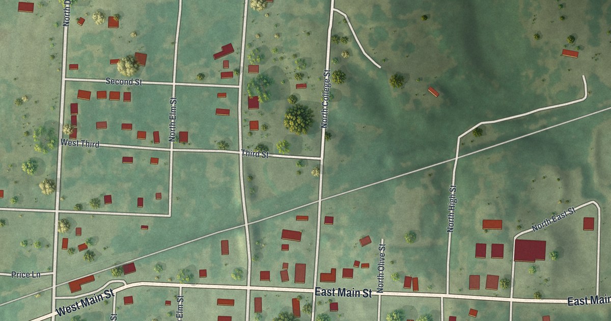
If you grew up in Calhoun or still have family on Main Street, this map gives you the whole town on one sheet. It's a modern aerial view of Calhoun in Henry County, Missouri, built from modern data and given a vintage feel. More than 260 buildings are marked in red along a tidy grid of streets. Green hills and open fields roll away on every side, and creeks wind through the low ground near the edges.
Main Street and Calhoun's numbered streets
Start in the middle of town, where West Main Street comes in from the lower left and turns into East Main Street. Follow East Main Street east past South Olive Street and out toward the right edge. Back in the center, the numbered streets stack up in order. First Street runs across the top of town, with Second Street and West Third below it. South of Main, West Fifth, West Sixth and West Seventh Streets cross the grid. West Ninth and West Tenth Streets sit near the bottom.
On the west side, Fourth Street crosses the grid, with Price Lane closer to West Main Street. Church Street runs south from West Main Street. The streets that run north and south carry names like Maple, Elm, Olive, College, High and Depot. The biggest red shapes sit just south of the center. At the top of the sheet, Northeast 824 Road branches east off the long road north. Many of the roads are labeled, and each red shape is a building, so zoom in on the preview and look for yours.
How Calhoun became Henry County's busiest town in 1837
James Nash picked the spot for Calhoun in 1835. A year later, he hired John S. Lingle to lay out the town. He named it for John C. Calhoun of South Carolina. Nash also gave two acres for a public square. One acre became a park, and the other went to the wide streets around it. The whole plat covered forty acres. The grid of streets on this map now spreads well past that first patch. That's according to the History of Henry County, Missouri, printed in 1919.
Settlers from a place called Goff's started moving in right away. James Fields, who kept a store at Goff's, put up the first house. In the winter of 1836 and 1837, John and William Goff opened a grocery. Fields and a firm called Hall and Fletcher opened general stores. McCormick's Dry Goods Store came the next summer. By the fall of 1837, Calhoun was the leading business town in Henry County. Later, pottery became the town's main trade. It lasted until the railroads came and machines made the hand potteries stop paying.
For someone who grew up near East Main Street
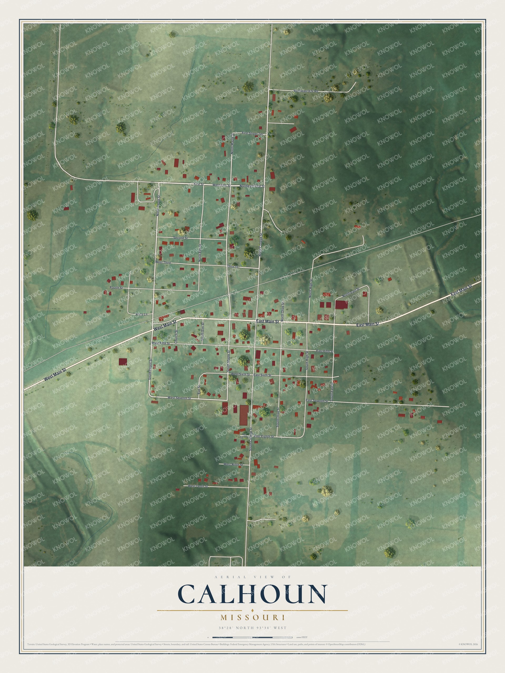
Created by KNOWOL in 2026, this map shows Calhoun from above, with shaded green hills, red buildings and pale roads. The hills come from USGS elevation data. The title panel reads "Aerial View of Calhoun, Missouri" with the coordinates 38°28' North, 93°38' West and a scale bar.
It suits a kitchen, a den or a hallway at the farm. It's a good gift for someone who grew up near East Main Street, or who moved away and still has family in Henry County. Open the preview, zoom in and find the street you know. See sizes and frames for the Calhoun map.