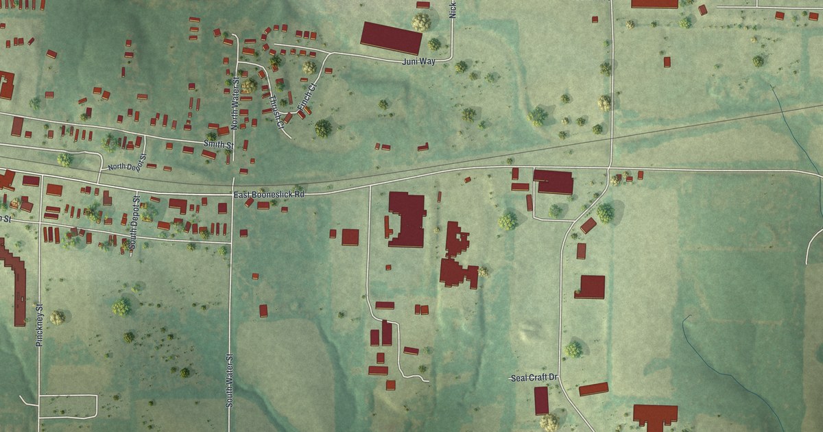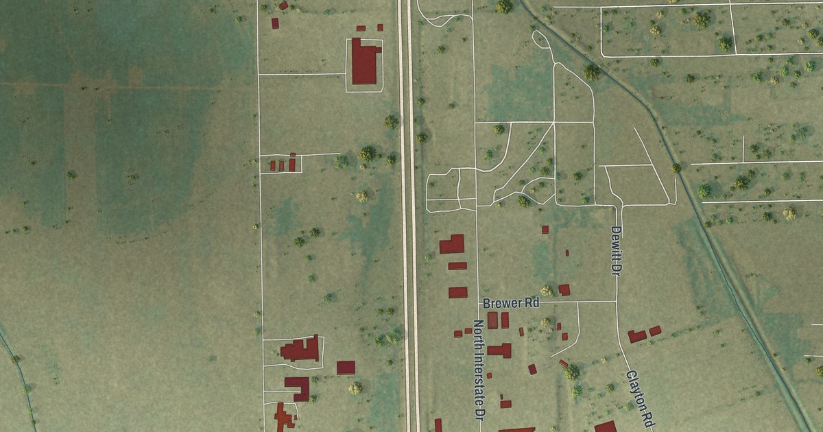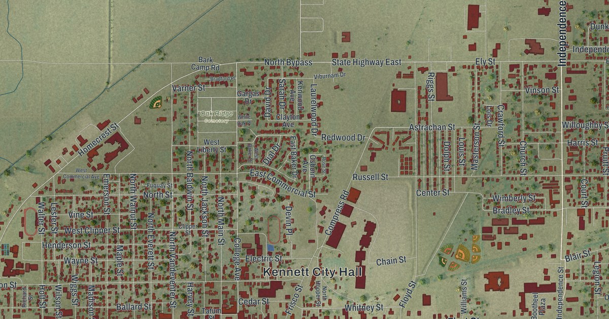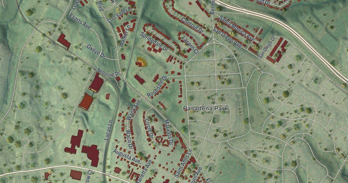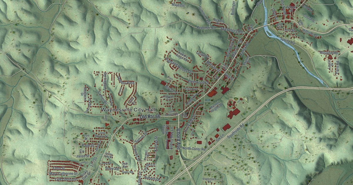
If you grew up in Waynesville, or your family lives off Old Rte 66 or Ichord Avenue, this map is for you. It's a modern aerial view of Waynesville in Pulaski County, Missouri, built from modern data and given a vintage look. Green hills with deep, shaded valleys fill the whole sheet. The town sits near the middle, with red buildings packed along the roads. A blue creek curves past the east side of town, and a wide river bends across the top.
Streets and places around Waynesville City Hall
On this map you'll find Old Rte 66, Main Street, Ichord Avenue, Broadway Street, Waynesville City Hall, School Street, Fort Street, North Outer Road, Hospital Road, Stagecoach Road, Spring Road, Pine Street, Elm Street, Buckhorn, and more. Each red shape is a building, so zoom in on the preview and look for yours.
How Waynesville got its name
Waynesville is named for a general. The State Historical Society of Missouri says a man named Harvey Wood got the town its post office. He named it for General Anthony Wayne, who lived from 1746 to 1796. Wayne was known as the hero of the Battle of Stony Point. Waynesville's name is printed large across the bottom of this print, and again in the label Waynesville City Hall near the center of the map.
Pulaski County Courthouse and the Old Stagecoach Stop
Two buildings in town are on the National Register of Historic Places. Both stand on Courthouse Square. The Pulaski County Courthouse was listed in 1979. The Old Stagecoach Stop, also on the square, was listed a year later, in 1980. Both stand in the heart of Waynesville.
Waynesville, from Buckhorn to Old Rte 66
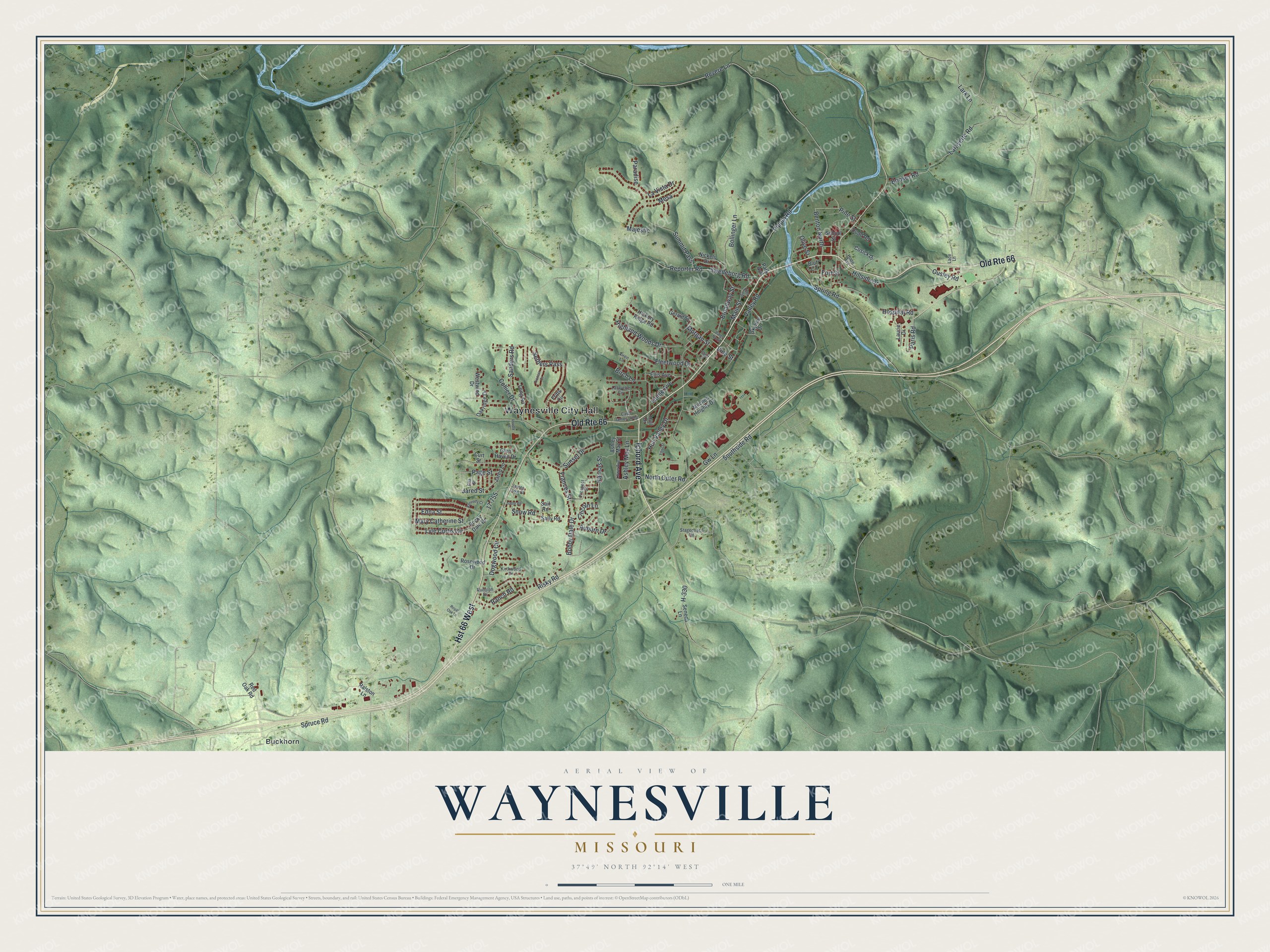
Created by KNOWOL in 2026, this print shows Waynesville in soft greens, with shaded hills, blue water and red buildings. The title panel reads Aerial View of Waynesville, Missouri, with the coordinates 37°49' North 92°14' West.
It suits a living room, a home office or the hallway by the front door. It's a thoughtful gift for someone who worked near Waynesville City Hall, or for family who moved away from Pulaski County. Open the preview and find your street. See sizes and frames for the Waynesville map.