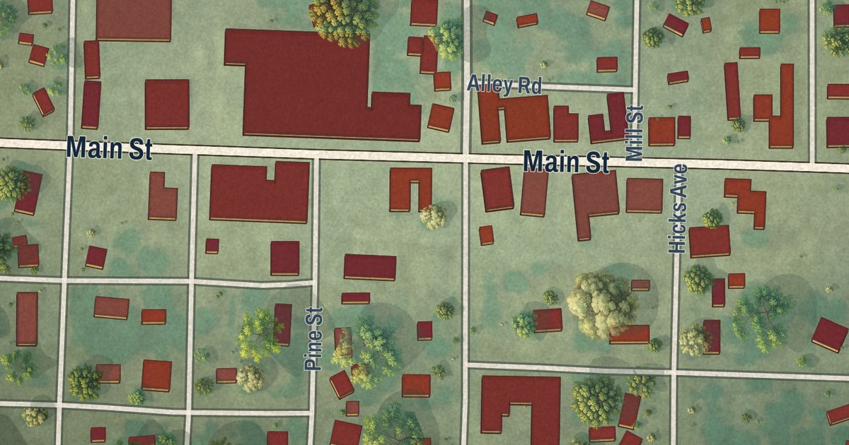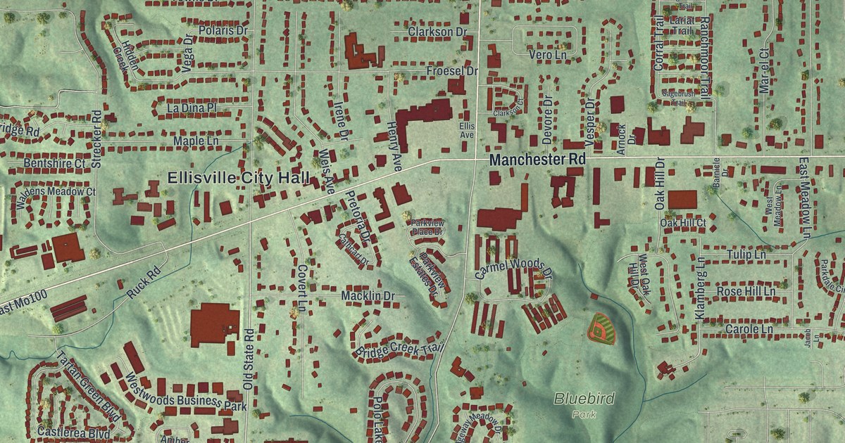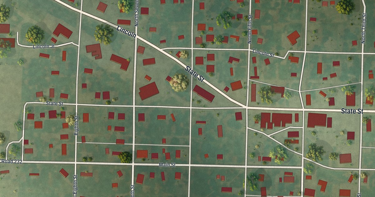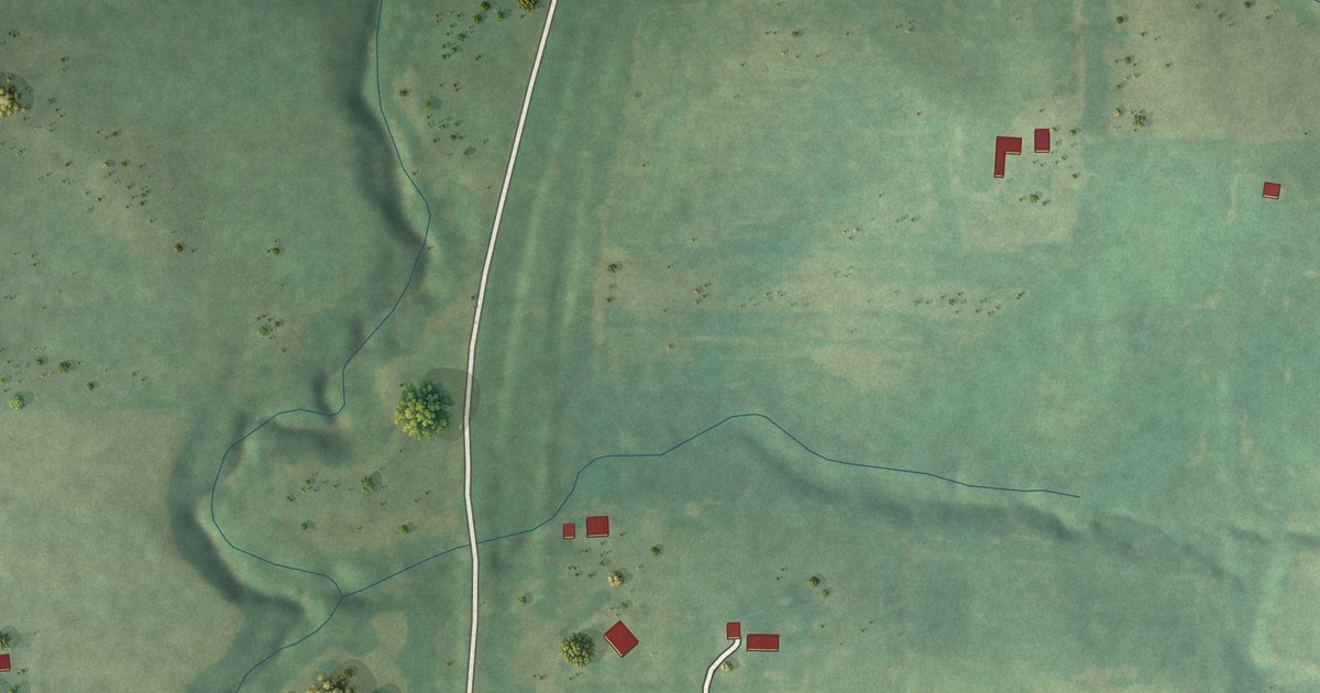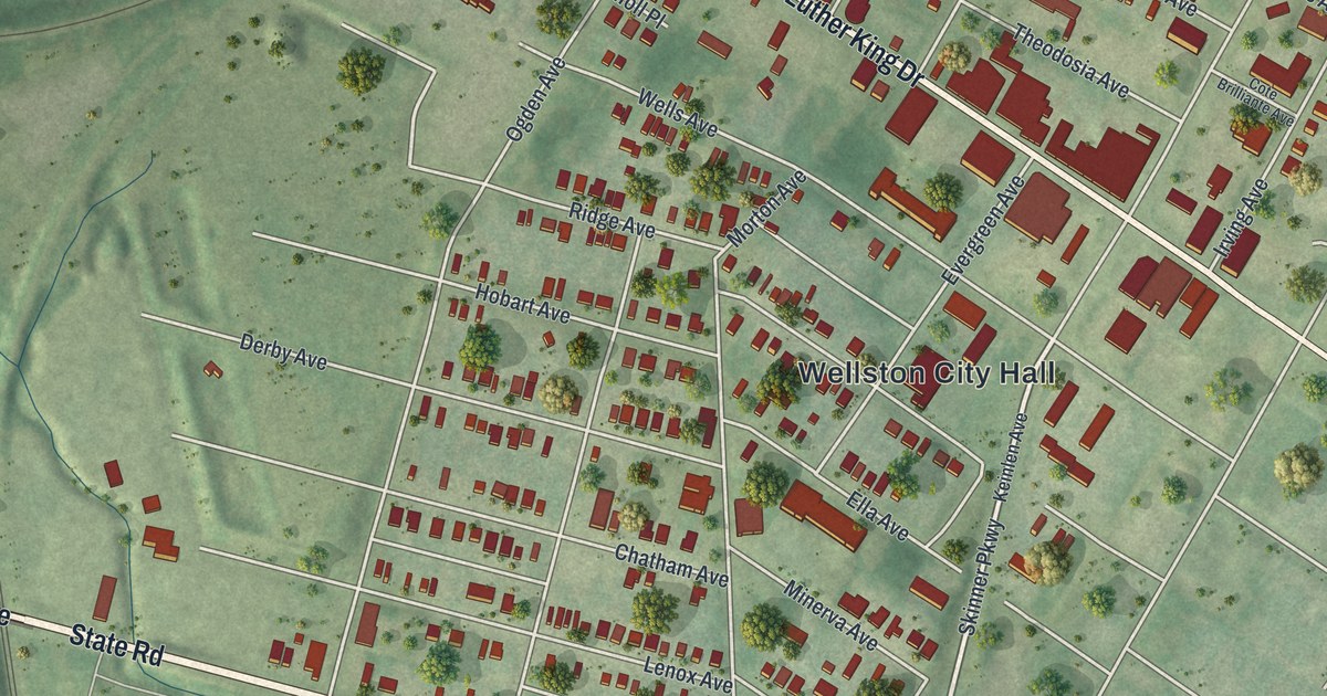
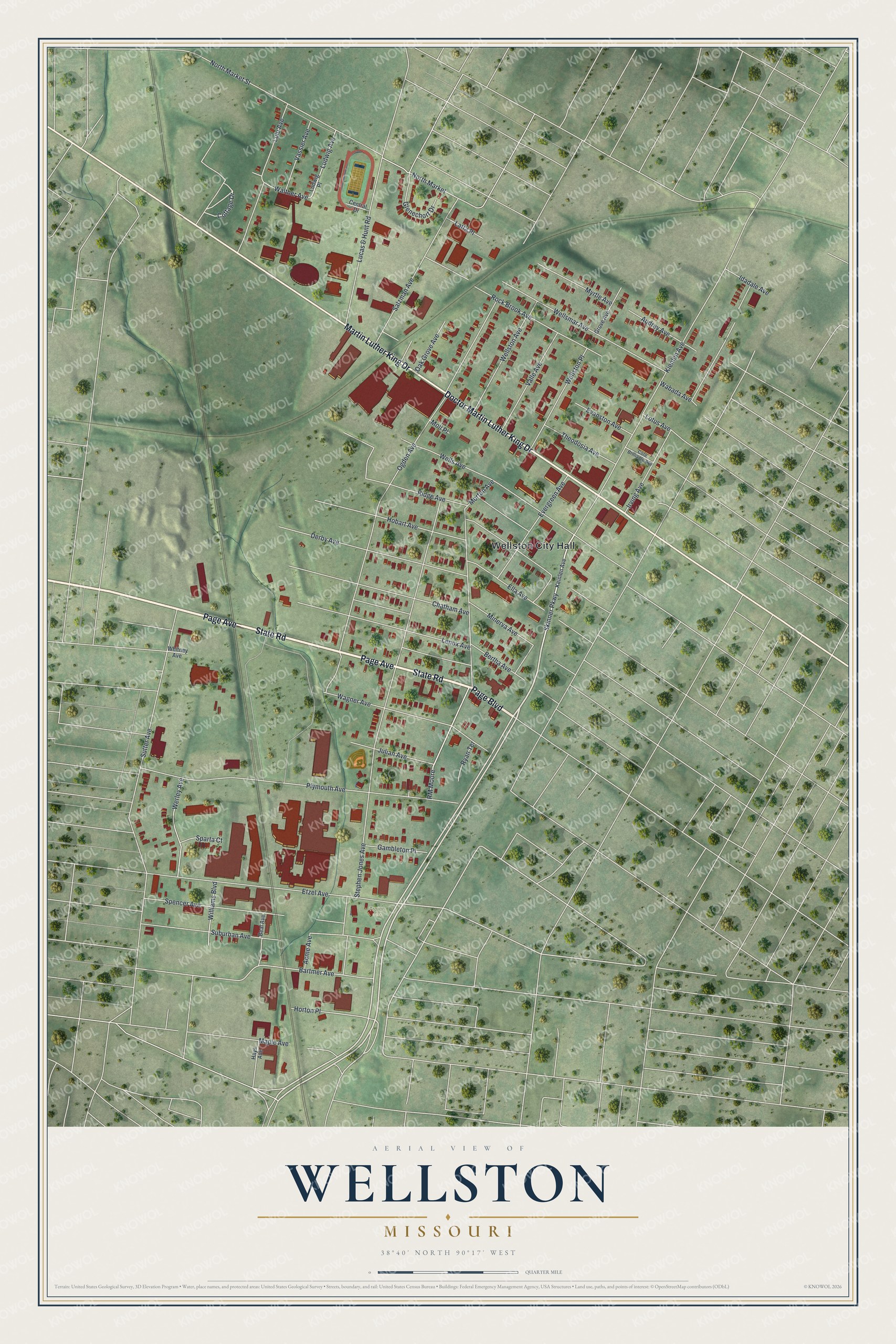
This beautifully detailed map of Wellston, Missouri was created in 2026 using aerial imagery combined with modern topographical, census, street and landmark data. It’s a one-of-a-kind view of Wellston that combines accurate data with a vintage aesthetic. The map shows every building in its true location, many of the roads carry their names, and the shaded topographic relief shows the shape of the land.
Explore an aerial view of Wellston, Missouri
On the map you’ll find Wellston City Hall, Trojan Park, and North Market, along with Page Boulevard, Page Avenue, State Road, Doctor Martin Luther King Drive, Martin Luther King Drive, Skinner Parkway, Morton Avenue, Bartmer Avenue, Oak Grove Avenue, and more. If you look closely you can even find your house accurately drawn in its correct location. Zoom in on the preview to look for yours.
Did you know this piece of Wellston, Missouri history?
The city was named for Erastus Wells, who started the first omnibus line in St. Louis. In 1868 he bought 66 acres in St. Louis County and built a three-story brick country home there. That land is now part of Wellston. Wells died at his Wellston home in 1893.
Take a closer look at the Wellston map
Street and place names on the Wellston, Missouri map
These names are printed on the map of Wellston, Missouri.
Places: Wellston City Hall and Trojan Park.
Streets and roads: Page Boulevard, Page Avenue, State Road, Doctor Martin Luther King Drive, Martin Luther King Drive, Skinner Parkway, Morton Avenue, Bartmer Avenue, Oak Grove Avenue, North Market, Suburban Avenue, Stephen Jones Avenue.
More street names, A to Z
Acme Avenue, Audrey Avenue, Beal Avenue, Bertha Avenue, Central Drive, Chatham Avenue, Cote Brilliante Avenue, Cottage Drive, Derby Avenue, Ella Avenue, Etzel Avenue, Evanston Avenue, Evergreen Avenue, Gambleton Place, Glenechort Drive, Grove Avenue, Hays Avenue, Hobart Avenue, Horton Place, Idadale Avenue, Irving Avenue, Julian Avenue, Keinlen Avenue, Kienlen Avenue, Latta Place, Lenox Avenue, Lotus Avenue, Lucas & Hunt Road, Ludwig Avenue, Ludwig Place, Lulu Avenue, Maple Avenue, Minerva Avenue, Moll Place, Myrtle Avenue, North Market Street, Ogden Avenue, Plymouth Avenue, Ridge Avenue, RM Moore, Rock Brook Avenue, Ryan Terrace, Salzman Avenue, Sparta Court, Spencer Avenue, Sutter Avenue, Theodosia Avenue, Valle Avenue, Vassier Avenue, Wabada Avenue, Wagner Avenue, Walther Avenue, Wells Avenue, Wellsmar Avenue, Wellston Avenue, Wellston Place, Werley Avenue, Whitney Avenue, Williams Boulevard.
See the Wellston, Missouri map on a wall
The Wellston map as an 18 x 24 inch print in a black frame.

This beautifully detailed map of Wellston makes an attractive addition to your office, library, or den, and it can even be used to teach children the geography and history of the area. It also makes a great gift for anyone who grew up in Wellston or moved away. When you’re done exploring, click here to get your copy of the Wellston map.