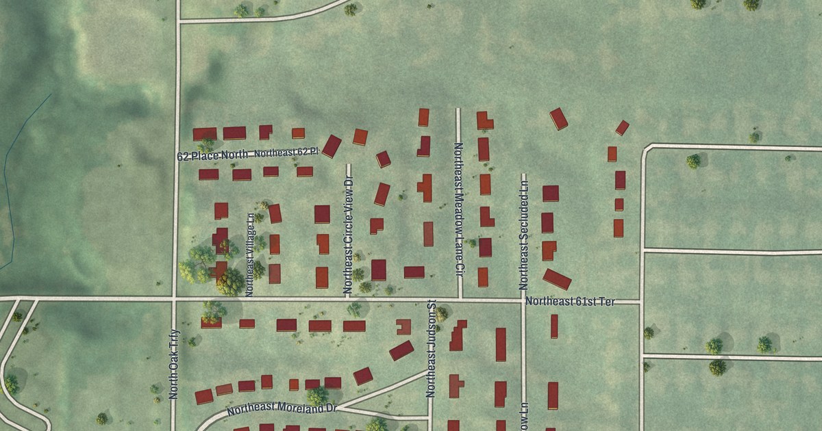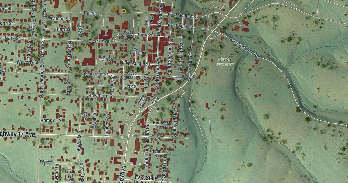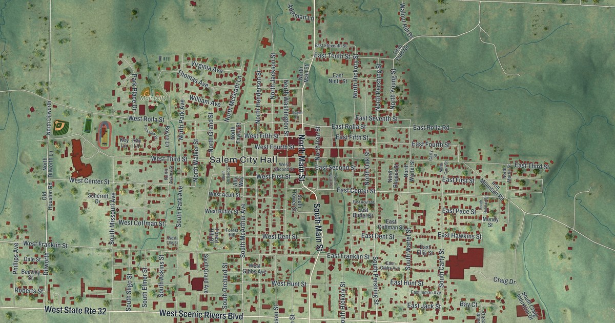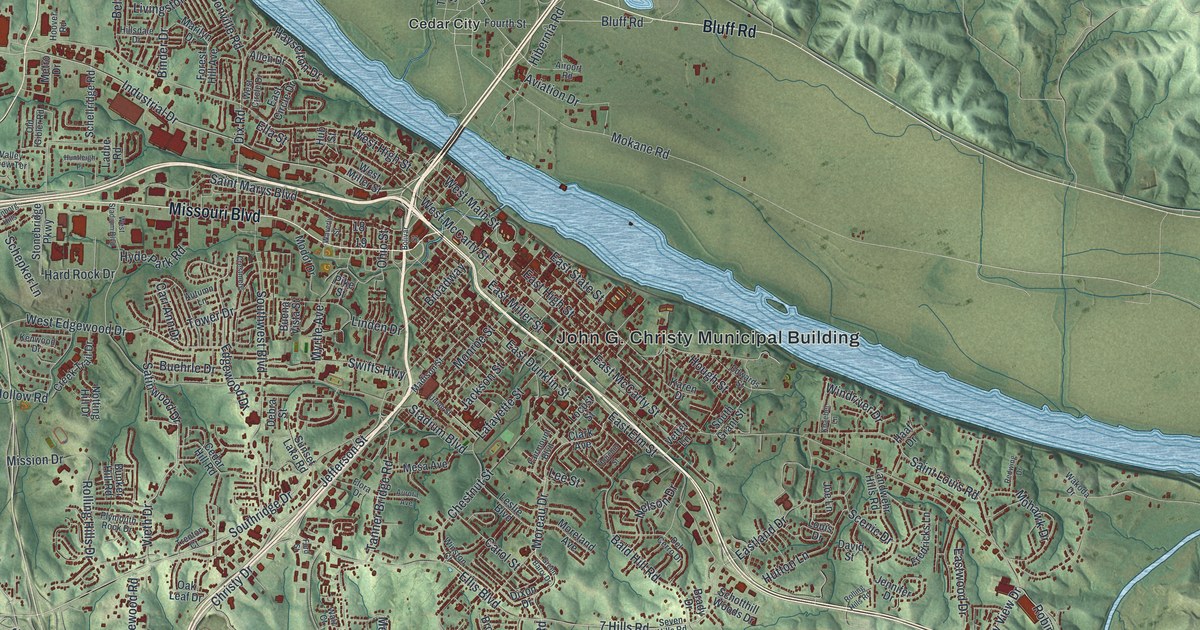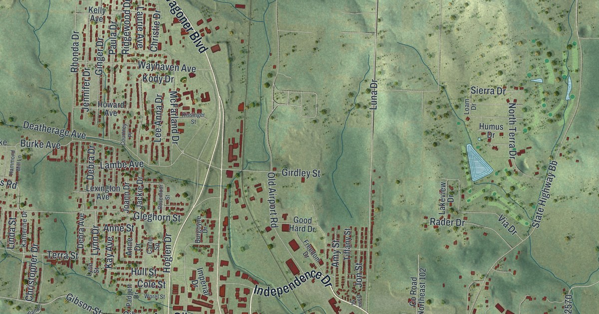
If you grew up in West Plains, or you still think of Washington Avenue and East Main Street as downtown, this map is for you. It's a modern aerial view of West Plains in Howell County, Missouri, made from modern data and given a vintage look. The town sits in the middle of the sheet, with green hills rising on every side. Thin blue creeks wind through the valleys. Red buildings crowd the old streets downtown and thin out along the highways at the edges.
Old Buildings on Washington Avenue and East Main Street
On this map you'll find Washington Avenue, East Main Street, West Main Street, West Broadway Street, Missouri Avenue, Jan Howard Expressway, Porter Wagoner Boulevard, Preacher Roe Boulevard, Bill Virdon Boulevard, Joe Jones Boulevard, West Abe Taylor Street, Gibson Street, North US Highway 63, Summers Addition, and more. Each red shape is a building, so zoom in on the preview and look for yours.
West Plains is an old town. The State Historical Society of Missouri says that in 1849 or 1850 the town was surveyed and given its name. Five buildings here are now on the National Register of Historic Places. Three of them stand close together downtown. The West Plains Bank Building is at 107 Washington Avenue. The W.J. and Ed Smith Building is right next door, at 109 to 113 Washington Avenue. The Elledge Arcade Buildings are a few steps away. All three were listed in 2001.
The Masonic Temple and the Shoe Company Building
Two more were added in 2011. The Mount Zion Lodge Masonic Temple is at 304 East Main Street. The International Shoe Company Building is at 665 Missouri Avenue. On the map, look near Washington Avenue and East Main Street for the Masonic Temple and the red buildings around the three from 2001. The Shoe Company Building is up on Missouri Avenue.
Keep West Plains and Washington Avenue Close
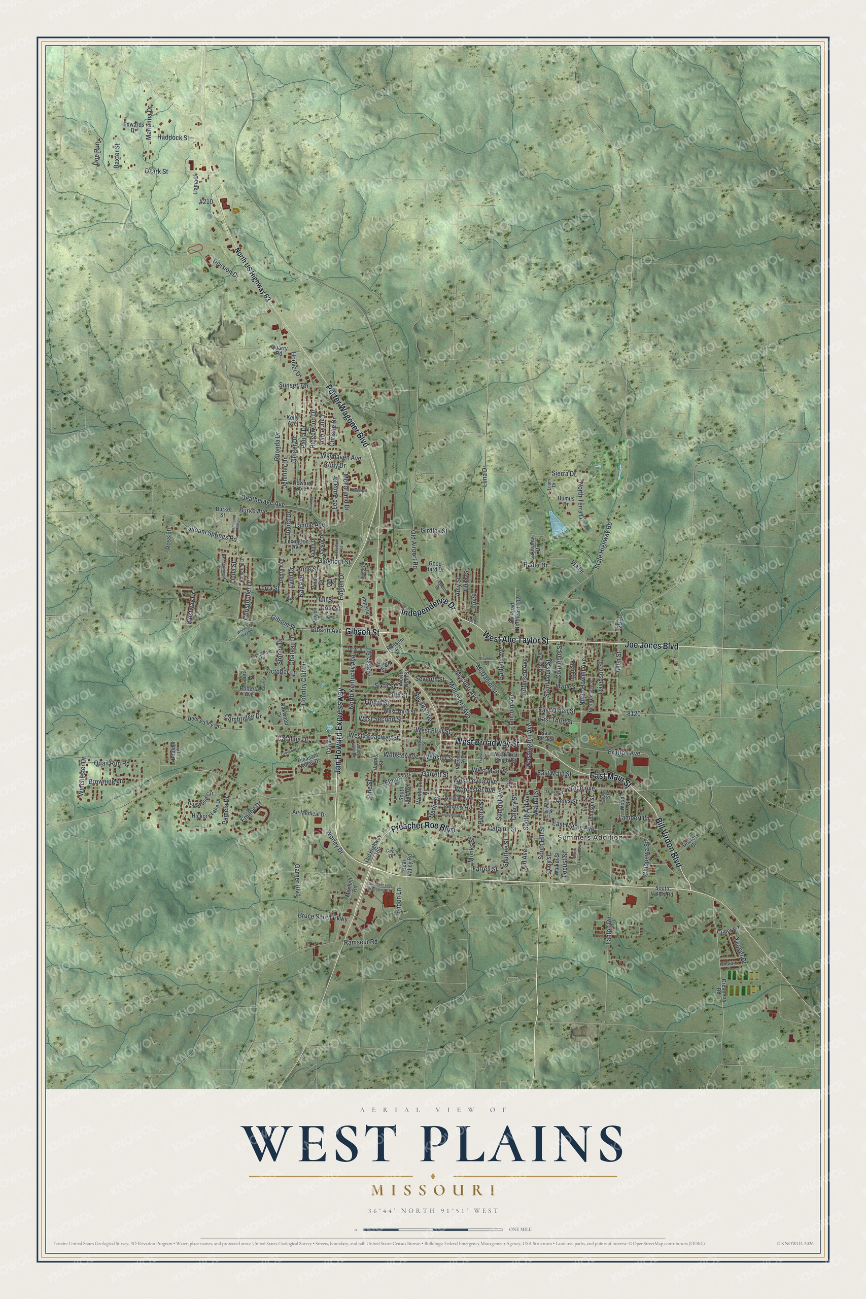
Created by KNOWOL in 2026, this print shows West Plains over soft green hills with shaded ridges and blue creeks. Buildings are drawn in deep red, and street names are printed in small dark letters. The cream title panel at the bottom reads Aerial View of West Plains, Missouri, 36°44' North 91°51' West.
It fits a living room, a front hall or an office wall. It's a good gift for someone who grew up near Washington Avenue and moved away, or for a family with roots in Howell County. Open the preview and find your street. See sizes and frames for the West Plains map.