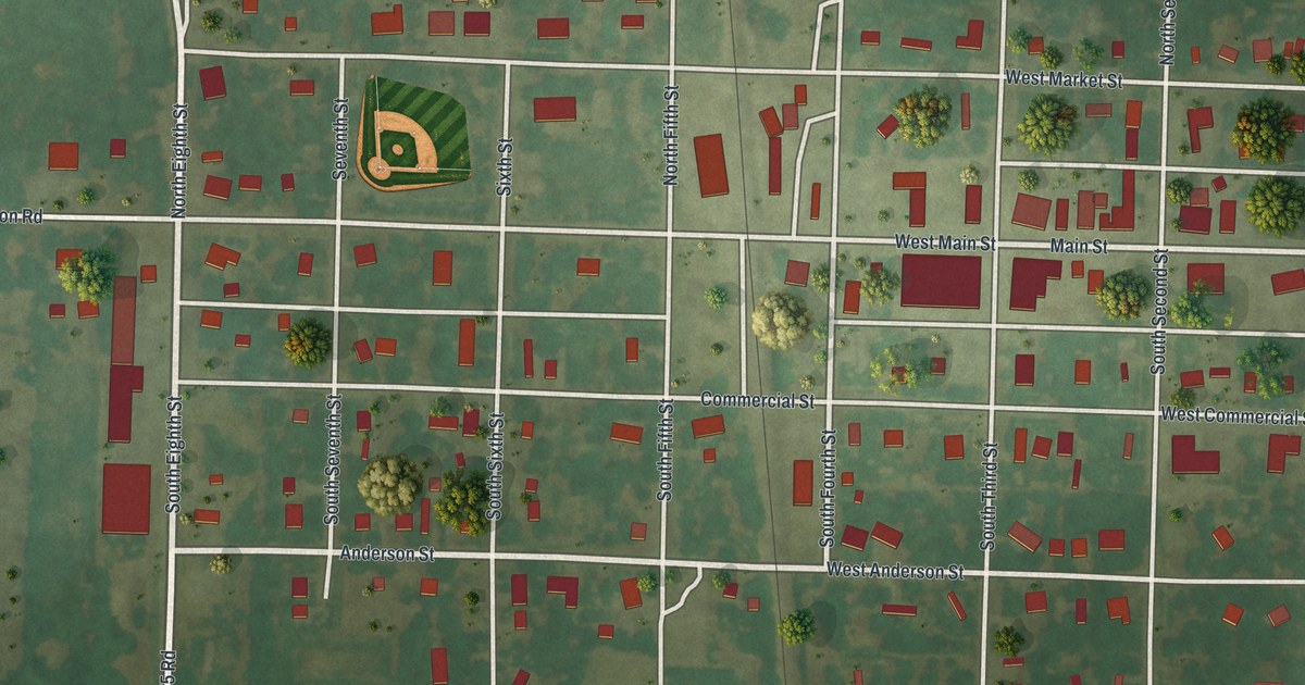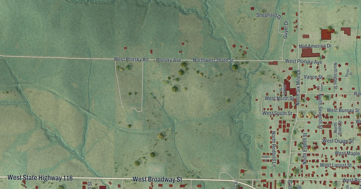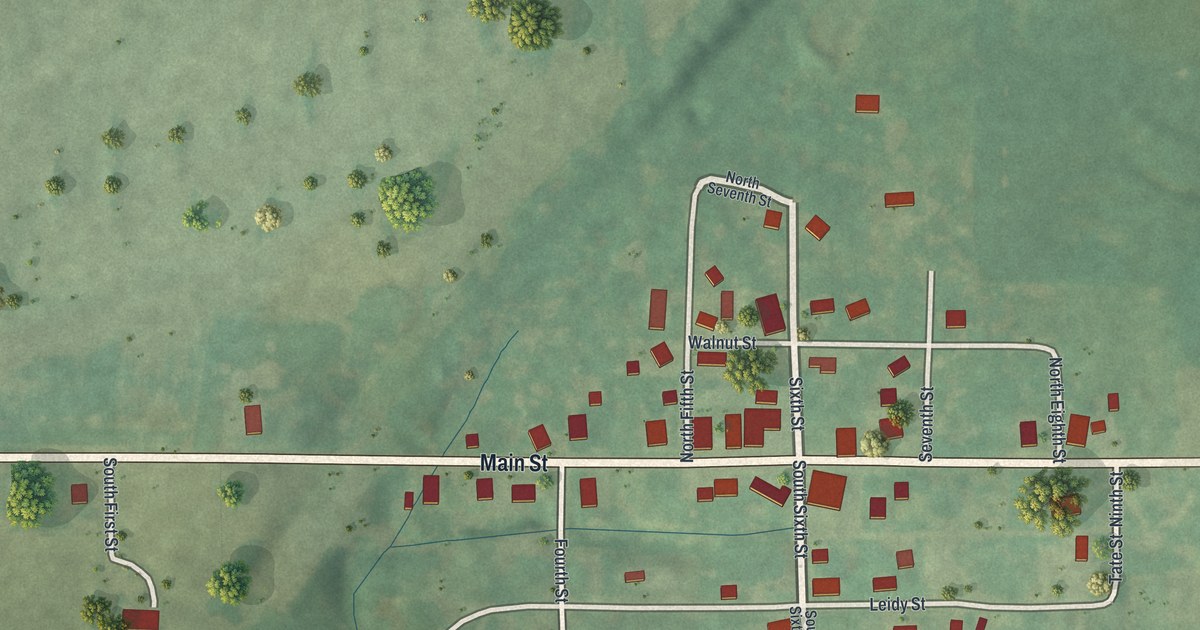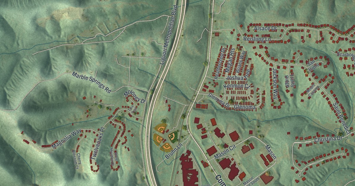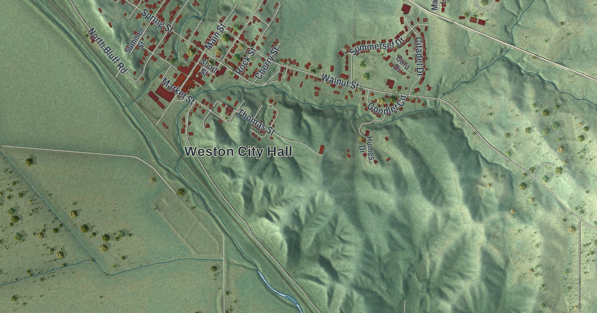
If you grew up on Main Street or Market Street in Weston, this map shows your hometown from above. It's a modern aerial view of Weston in Platte County, Missouri, made from modern data and given a vintage look. Red buildings crowd the blocks near Weston City Hall. Green hills rise all around the town. Flat fields spread out to the west, and a wide blue river swings in a big loop across the lower half of the sheet.
Main Street, Weston City Hall and the streets around them
On this map you'll find Main Street, Market Street, Washington Street, Walnut Street, Spring Street, Thomas Street, Welt Street, Rock Street, Short Street, Cherry Street, North Bluff Road, South Bluff Road, Highway JJ, Weston City Hall, and more. Each red shape is a building, so zoom in on the preview and look for yours.
Weston's merchants and the rush to California
Weston shows up in the county history for a business deal from the first year of the rush to California. The History of Clay and Platte Counties, printed in 1885, tells about the first year of the rush to California. That year, a couple of merchants then living in Weston started a new business. It was a great success. The book says it built a trade that lasted for a number of years. That trade helped the people of the whole county do well. Today the red buildings sit closest together downtown, along Main Street and near Weston City Hall.
Weston's places on the National Register
Two Weston places are on the National Register of Historic Places. The Missouri District Warehouse stands at 357 Main Street. It was added to the list in 2010. The McCormick Distillery sits out along Highway JJ, southeast of downtown. It was listed in 1974 as a historic district, so its buildings are counted together as one place.
Keep Weston and Main Street close
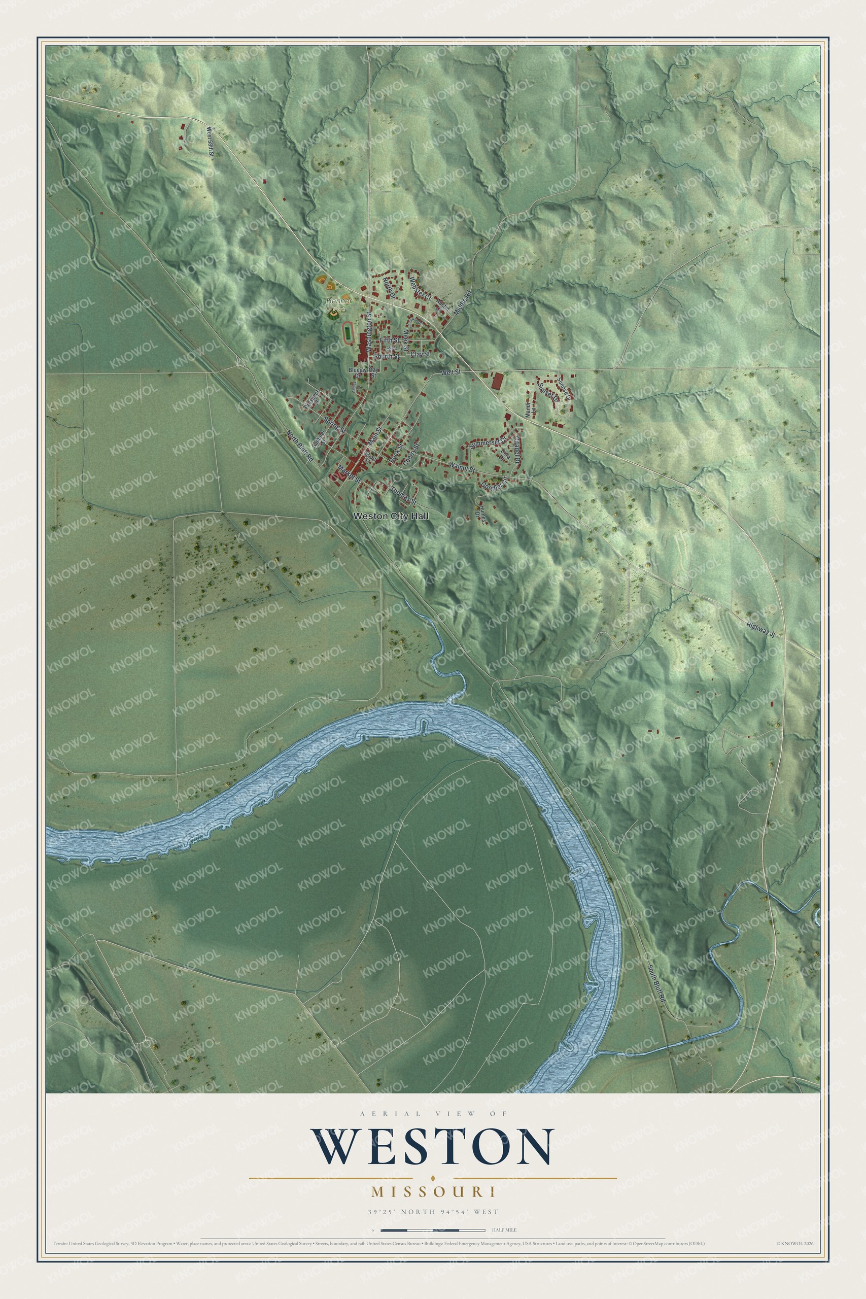
Created by KNOWOL in 2026, this print shows Weston from above with shaded green hills, small red buildings and a wide blue river. The title panel reads AERIAL VIEW OF WESTON, MISSOURI, with 39°25' NORTH 94°54' WEST beneath it.
It suits a living room, a hallway or a home office. It's a good gift for anyone who grew up near Main Street or knows the road out to the McCormick Distillery, and for family who moved away from Platte County. Open the preview and find your own street. See sizes and frames for the Weston map.