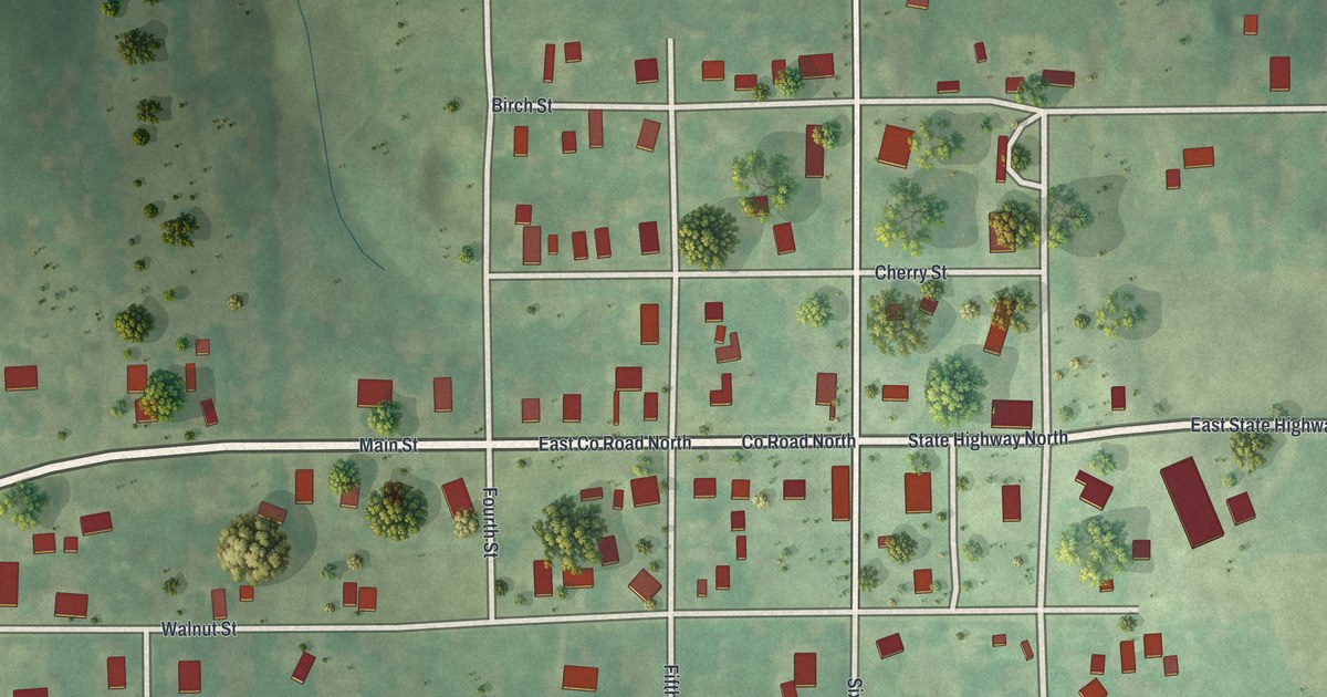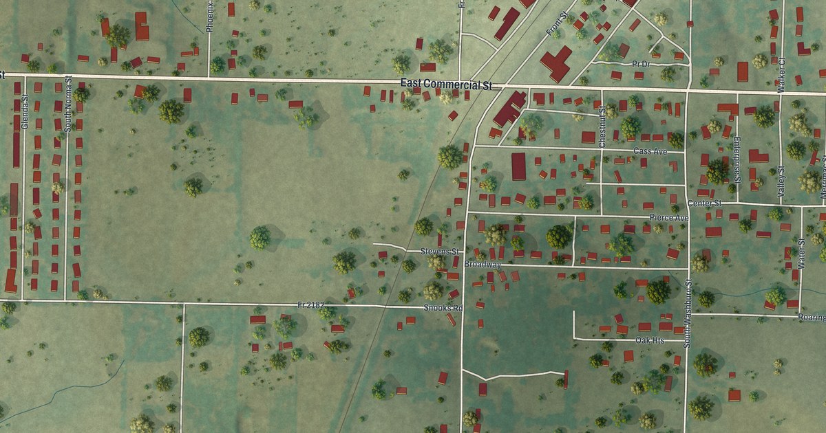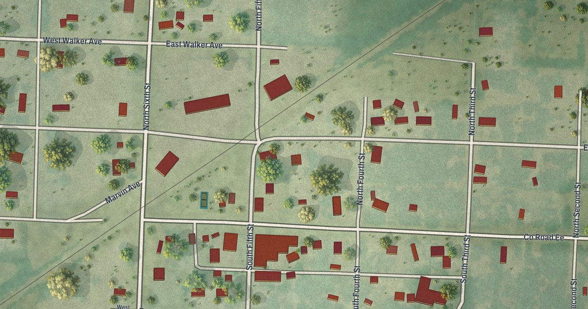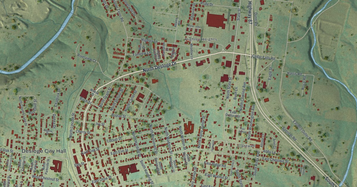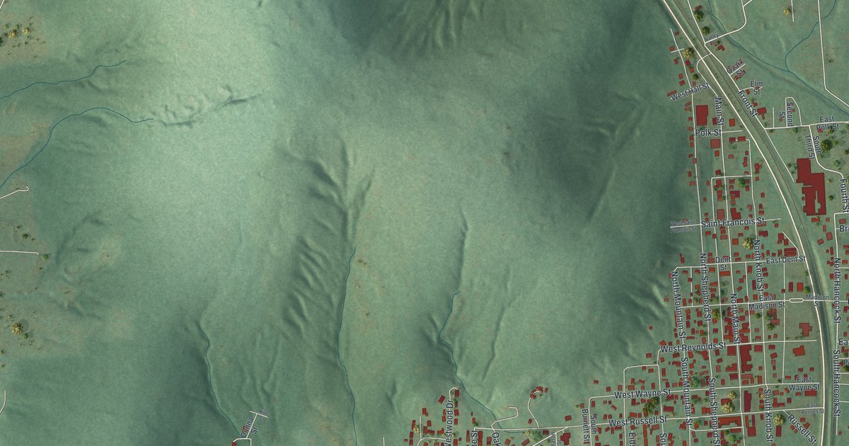
If you grew up in Ironton, or your family still lives near Main Street, this print shows the streets you know. It's a modern aerial view of Ironton in Iron County, Missouri, made from modern data with a vintage artistic feel. The town sits in a narrow valley with tall, shaded hills all around it. Red buildings fill the grid of streets, and a long blue lake lies in the hills on the left side of the sheet.
Ironton, the Iron County seat since 1857
On this map you'll find Main Street, North Main Street, South Shepherd Street, Saint Francois Street, East Reynolds Street, West Reynolds Street, Russell Street, Wayne Street, North Knob Street, Madison Street, Polk Street, Shepherd Mountain Lake Road, Lake Drive, Wilsonville, and more. Each red shape is a building, so zoom in on the preview and look for yours.
The State Historical Society of Missouri keeps an old file of Missouri place names. It tells Ironton's early story in one short line. The town was first settled in 1853. Just four years later, in 1857, it became the county seat. The Iron County Courthouse Buildings are in Ironton today. The Iron County Courthouse Buildings sit on Courthouse Square and at 220 South Shepherd Street. They were added to the National Register of Historic Places in 1979. South Shepherd Street is printed on the map.
Saint Paul's Episcopal Church and the Ironton Lodge Hall
Two more old buildings in town are on the National Register, too. Saint Paul's Episcopal Church is at the northwest corner of Knob and Reynolds streets. It was listed in 1969. The Ironton Lodge Hall is at 133 North Main Street. It was listed in 2013. North Knob Street, the Reynolds streets and North Main Street are all printed on the map.
Ironton's valley, South Shepherd Street and Shepherd Mountain Lake Road
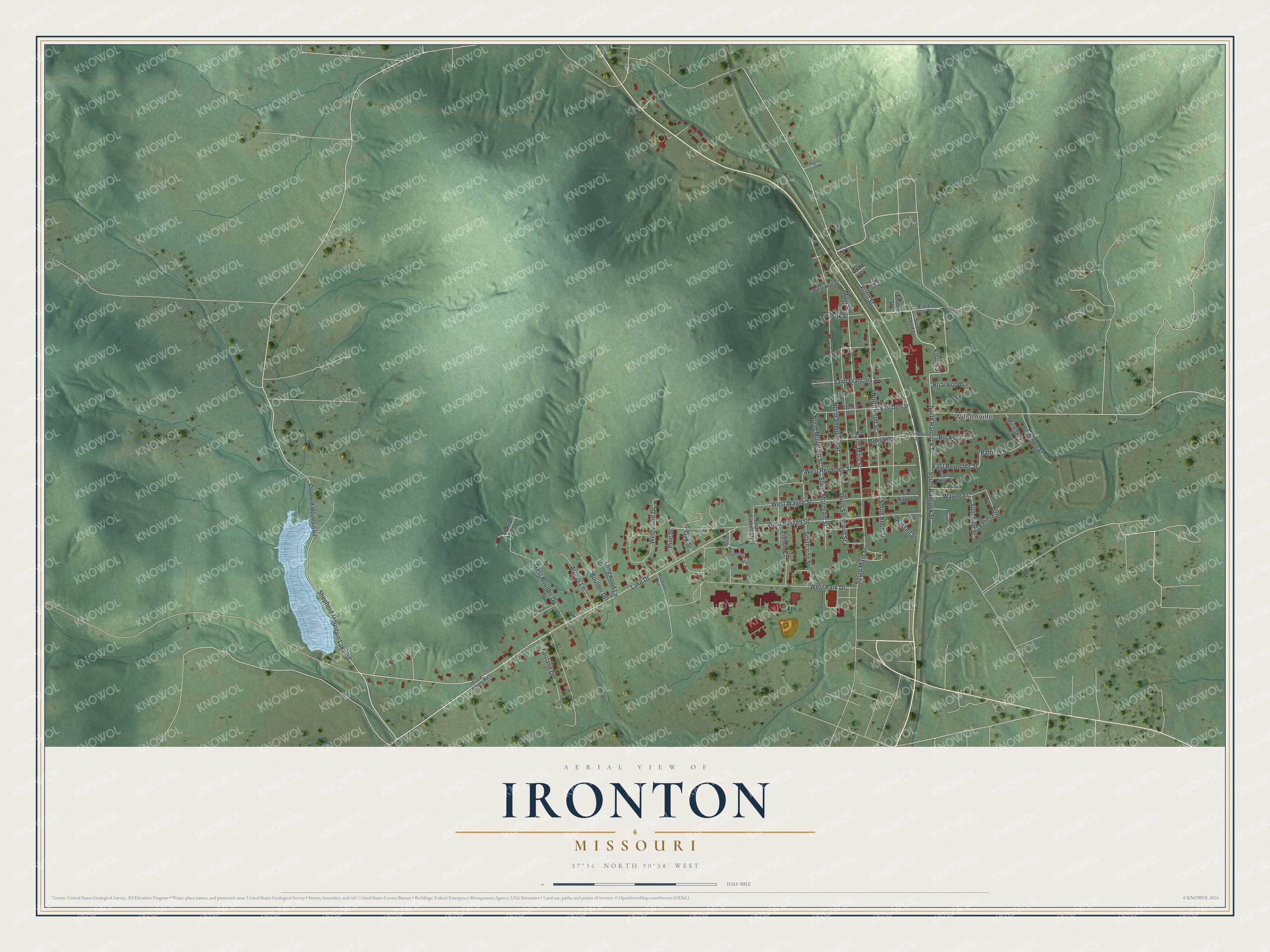
Created by KNOWOL in 2026. The print shows Ironton's valley in soft greens, with shaded hills, white roads, red buildings and a blue lake. The title panel reads "Aerial View of Ironton, Missouri" with the line 37°36' North 90°38' West.
It fits well in a living room, a hallway or a home office. It's a good gift for someone who grew up near the courthouse on South Shepherd Street, or for a friend who moved away from Iron County. Open the preview and find your street. See sizes and frames for the Ironton map.