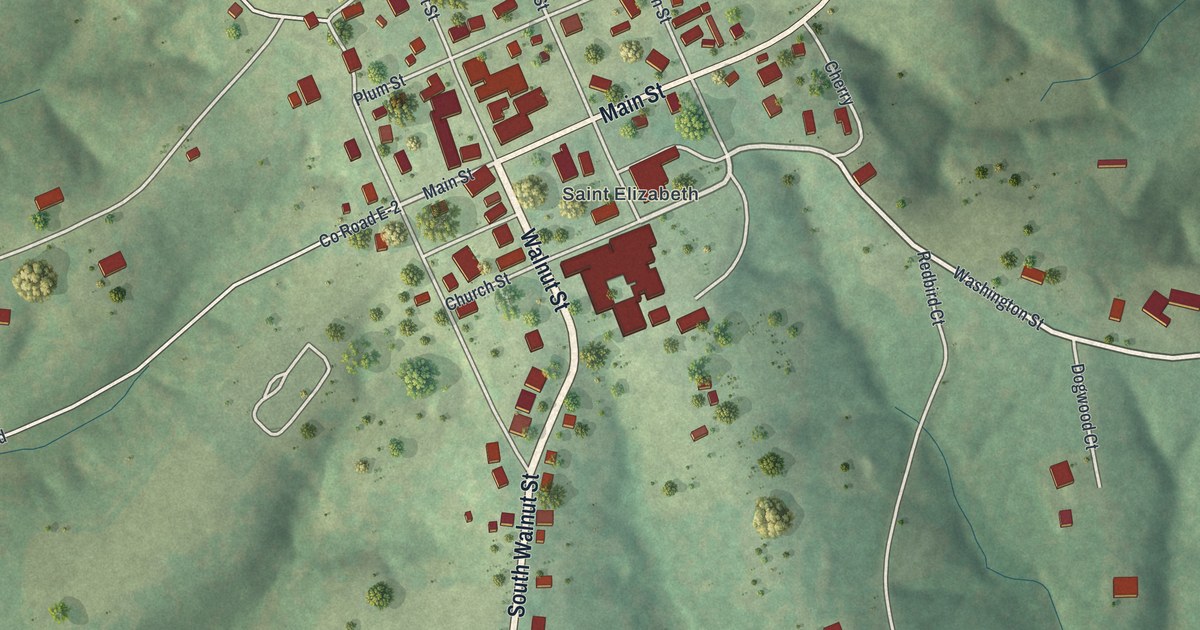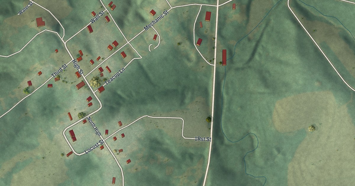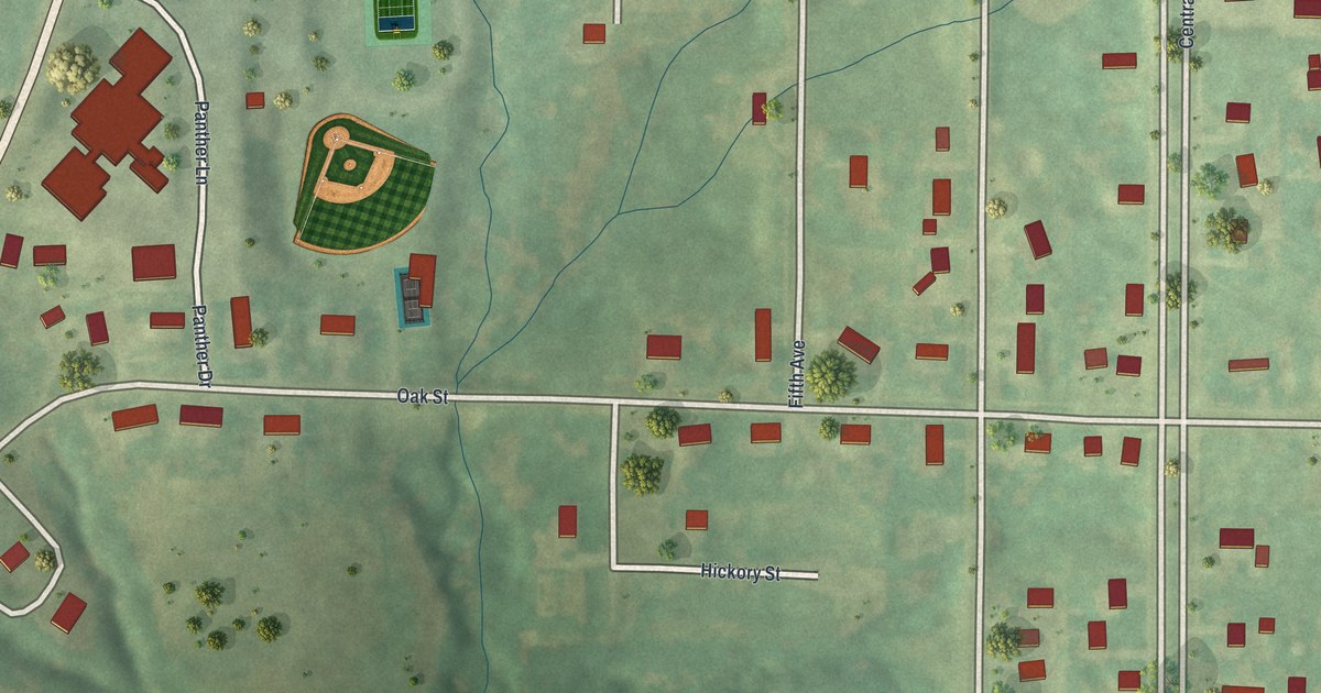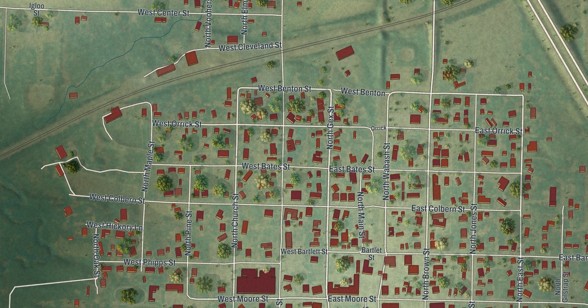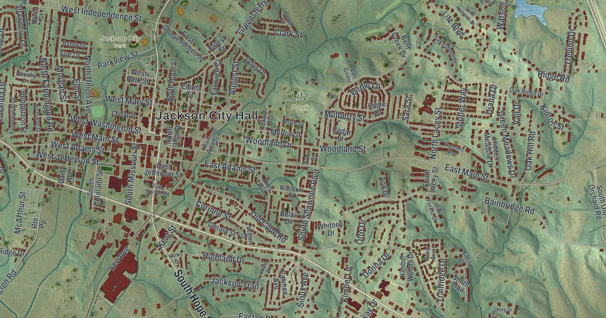
If you grew up in Jackson or still drive East Main Street most days, you'll know these blocks on sight. This is a modern aerial view of Jackson in Cape Girardeau County, Missouri, made from modern data and given a vintage look. Green hills fold around the town, and thin blue creeks wind through every valley. In the middle, small red buildings crowd around Jackson City Hall. A long, straight line cuts down the right side of the sheet, and small blue ponds dot the hills.
How Jackson got its name in 1815
On this map you'll find East Main Street, West Main Street, West Jackson Boulevard, East Jackson Boulevard, North High Street, South Hope Street, Jackson City Hall, Jackson City Park, Litz Park, Klaus Park, Old Cape Road, Bainbridge Road, West Independence Street, and more. Each red shape is a building, so zoom in on the preview and look for yours.
The town was started in 1815, just after the Battle of New Orleans. People put forward three names for it at first. They were Ashley, Byrd and Lorimier, each for a well-known local man. In the end, the town was named for Andrew Jackson instead. That's the account kept by the State Historical Society of Missouri. More than 200 years later, his name is still all over the map. You'll see it in West Jackson Boulevard, East Jackson Boulevard and Jackson Trail.
Old homes on West Main and East Adams
Three places in and around Jackson are on the National Register of Historic Places. The Frizel-Welling House stands at 209 West Main Street. It was listed in 1999. The Bennett-Tobler-Pace-Oliver House is at 224 East Adams, listed in 1985. Out east, McKendree Chapel was listed in 1987. Its grounds sit on the south side of Bainbridge Road. West Main Street, East Adams Street and Bainbridge Road are all printed on the map, so you can find each one.
Jackson City Park and your street on the wall
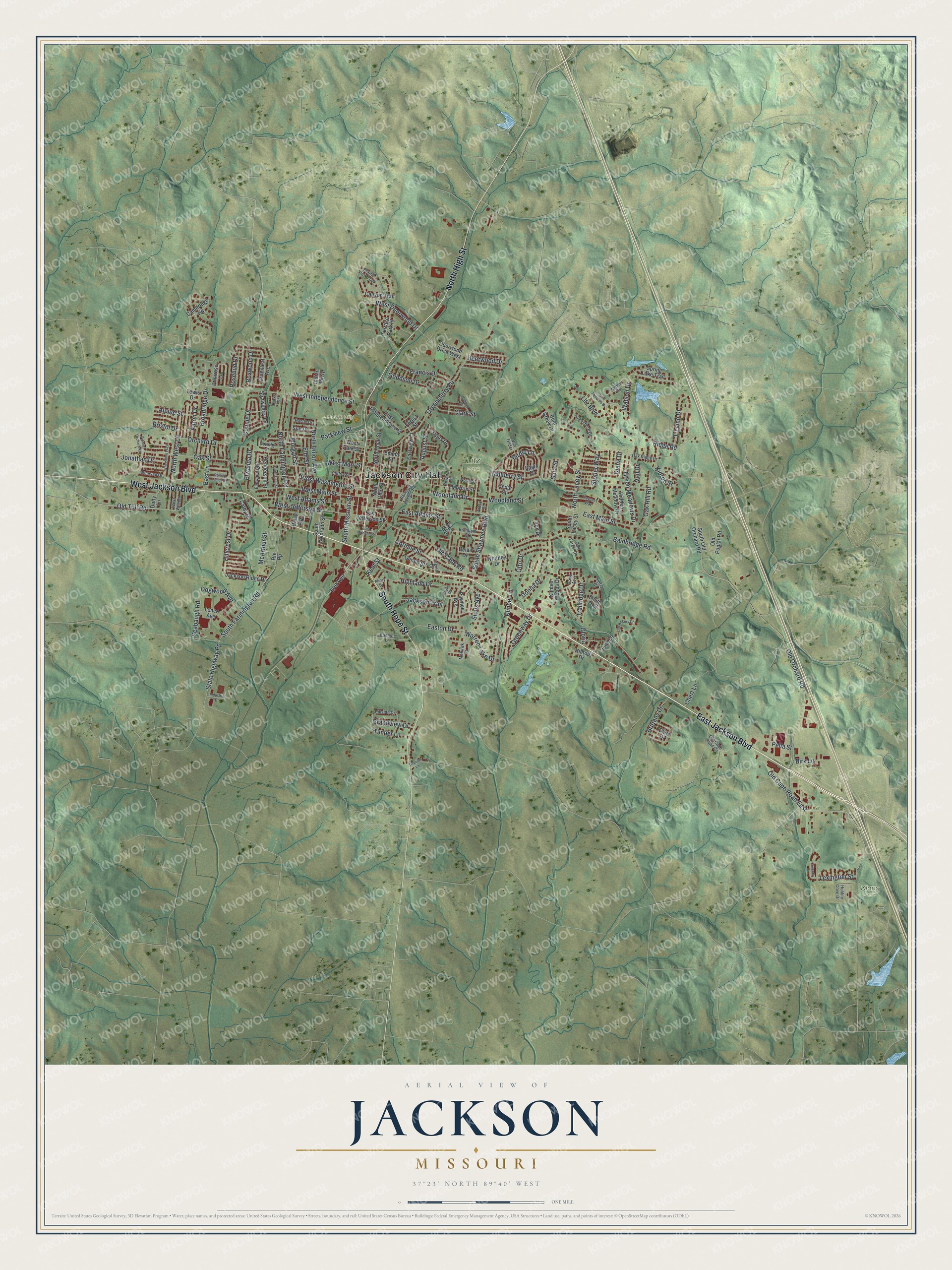
Created by KNOWOL in 2026, the print shows Jackson from above in soft greens, with shaded hills, blue creeks and small red buildings. A cream title panel at the bottom reads "Aerial View of Jackson, Missouri" with the coordinates 37°23' North 89°40' West.
It fits a living room, a home office or a front hall. It's a good gift for someone who grew up near Jackson City Park and later moved away, or for a family that's been on the same street for years. Open the preview and find your own block. See sizes and frames for the Jackson map.