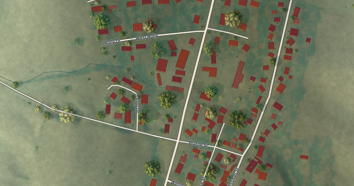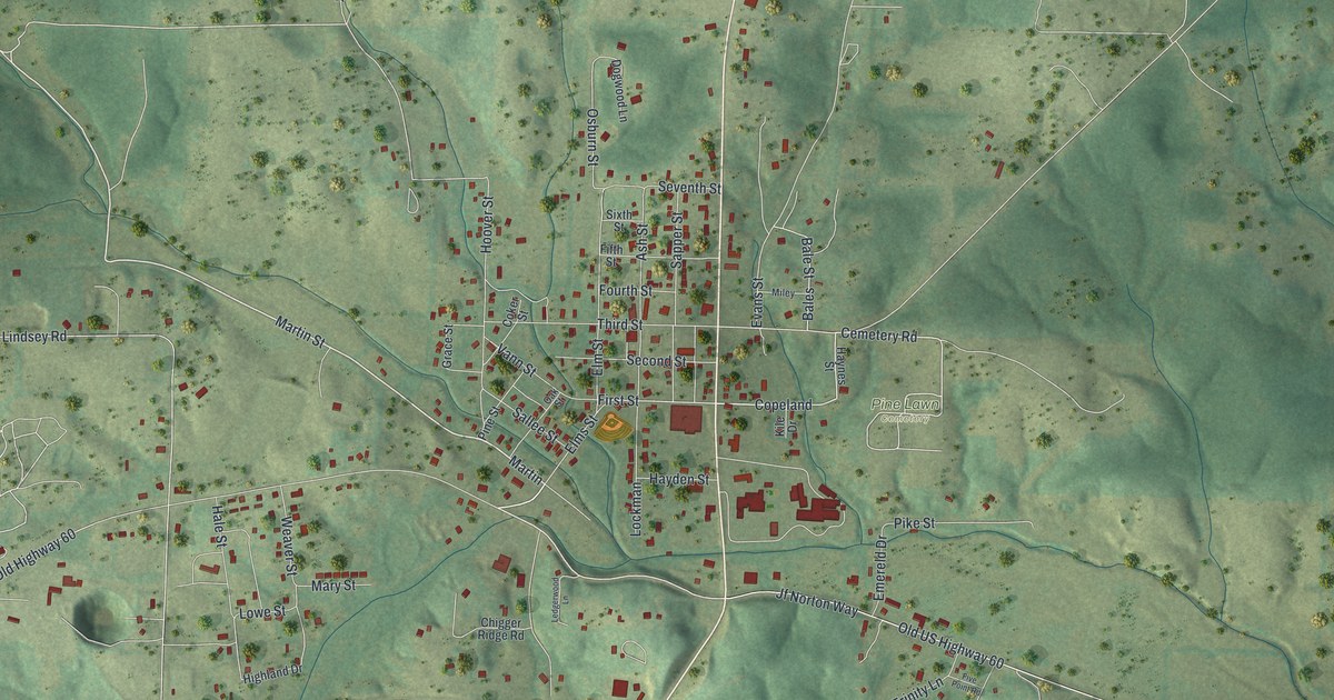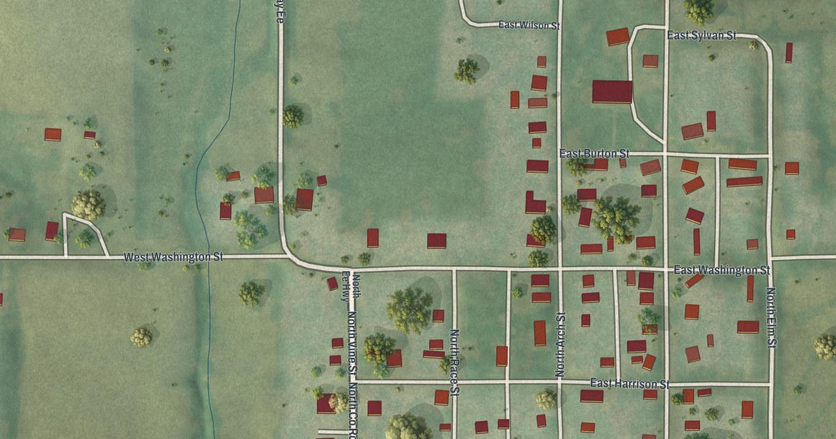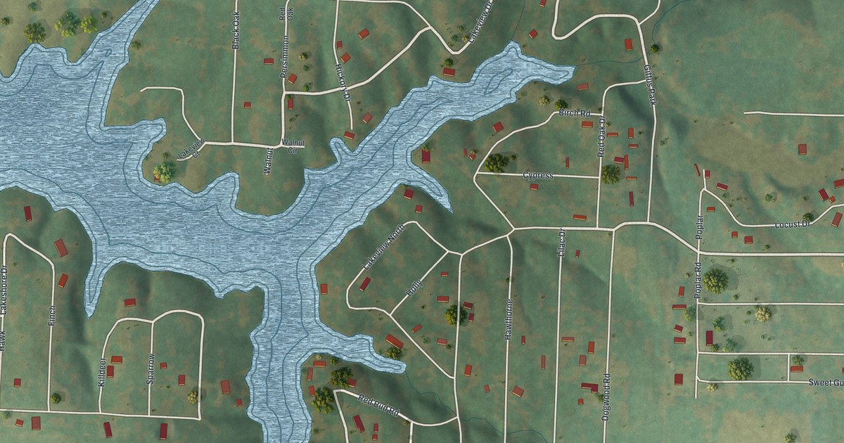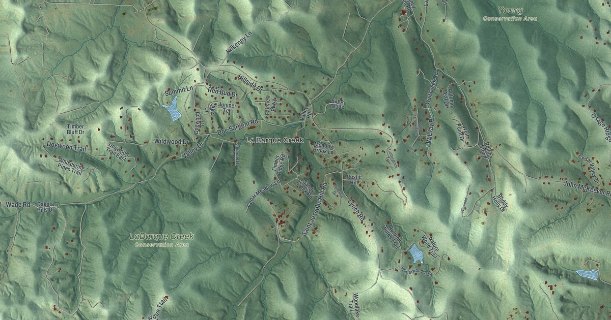
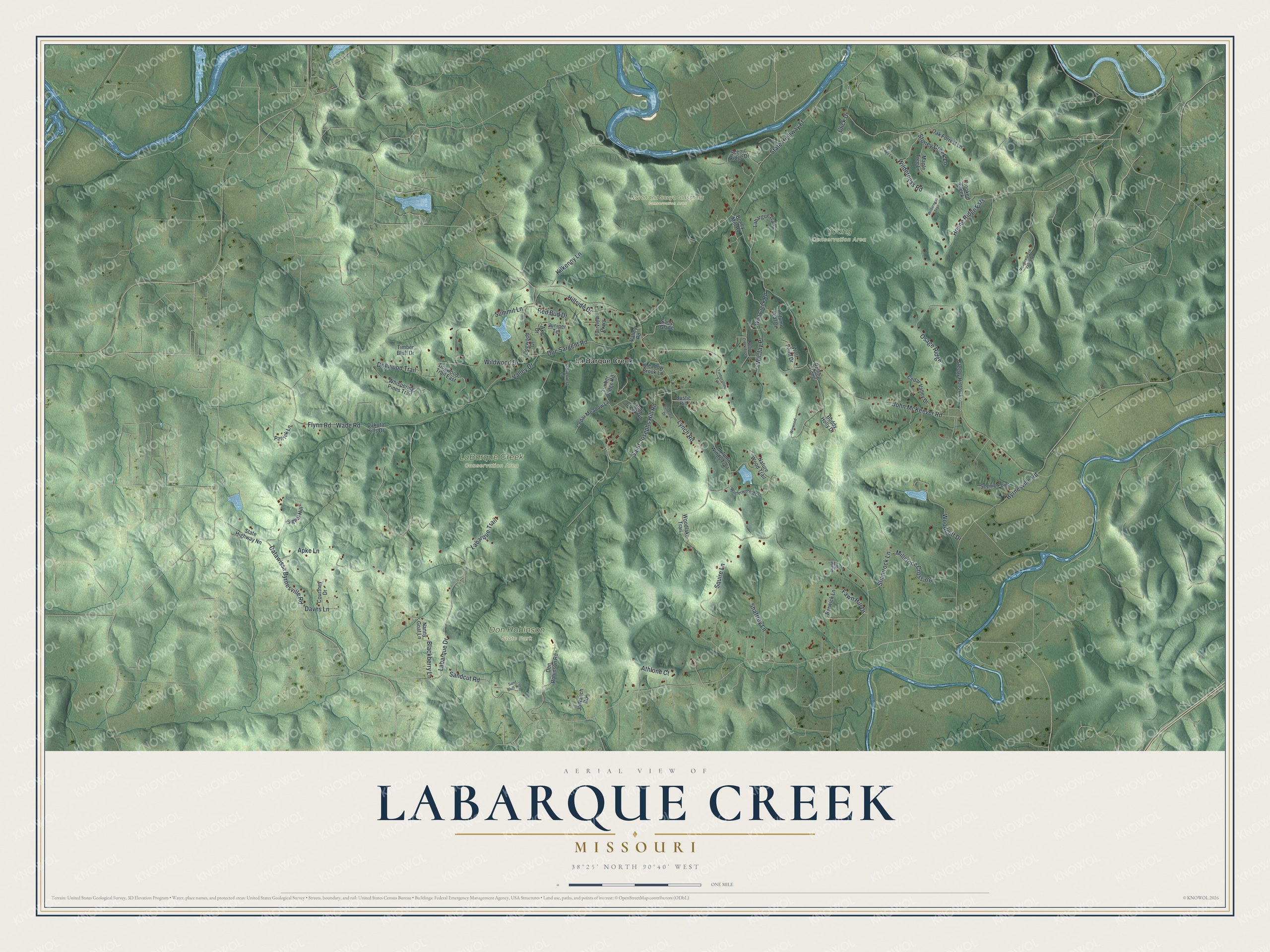
This beautifully detailed map of LaBarque Creek, Missouri was created in 2026 using aerial imagery combined with modern topographical, census, street and landmark data. It's a modern aerial view of LaBarque Creek in Jefferson County, Missouri, that combines modern data with a vintage aesthetic. The roads feature printed names, and if you look closely you can find your exact house accurately shown in its correct location.
Explore an aerial view of LaBarque Creek, Missouri
On this map you'll find Don Robinson State Park, LaBarque Creek Conservation Area, Myron and Sonya Glassberg Conservation Area, Young Conservation Area, La Barque Creek, Wil Jay Place, Saint Josephs Hill Road, Labarque Drive, John McKeever Road, Wade Road, Flynn Road, Byrnesville Road, and more. Each red shape is a building, so zoom in on the preview and look for yours.
Every town has a first chapter, and LaBarque Creek is no exception. The Missouri Department of Conservation puts it this way: "High in the Ozark uplands of the Meramec River basin is a 13-square-mile, nearly pristine watershed called LaBarque Creek. The creek has carved cliffs, waterfalls, bowls and overhangs in the soft sandstone." Its deep, moist canyons hold several plants found at only a few other places in Missouri, and more than six miles of year-round stream support 36 kinds of fish.
LaBarque Creek is a community in Jefferson County. The Census Bureau counted 1,658 people here in 2020.
Take a closer look at the LaBarque Creek map
Names on this map
These names are printed on this map.
Places: Don Robinson State Park, LaBarque Creek Conservation Area, Myron and Sonya Glassberg Conservation Area, Young Conservation Area and La Barque Creek.
Streets and roads: Wil Jay Place, Saint Josephs Hill Road, Labarque Drive, John McKeever Road, Wade Road, Flynn Road, Byrnesville Road, Lynch Road, State Highway Ff, Doc Sargent Road, Wilderness Road, Osage Ridge.
More street names, A to Z
Ake Drive, Apke Lane, Athlone Court, Autumn Leaf Drive, Autumn Winds Trail, Berwick Lane, Blackberry Lane, Boney Mill Road, Buddy Holly Drive, Butternut Drive, Catawissa Byrnesville Road, Cedar Meadow Lane, Cedar Valley Drive, Click Drive, Courtney Drive, Crooked Creek, Dakota Hills Drive, Daves Lane, Dogwood Drive, Dogwood Trail, Dogwood Trail East, Don Robinson Road, Dublin Drive, Fairview Parkway, Fawn Hill Drive, Hillside Drive, Hoene Ridge Ests, Jb Ranch Road, Juniper Terrace, Kilkenny Lane, Labargue Trail, Labarque Trail, Maple Tree Lane, Meadow Brook Lane, Meadowbrook Valley Drive, Millstone Crossing, Nanny Goat Lane, Nature Wood Trail, Oak Forrest Lane, Patrick Lane, Pine Ridge Lane, Red Bud Drive, Rolling Stone, Rustic Hill, Sand Bluff Hill, Sandcut Road, Sand Glade, Sandy Creek Road, Scenic Point, Scenic Ridge Drive, Shaffrey Lane, Shamrock Lane, Signal Hill, Sleepy Hollow Lane, Squire Lane, State Highway Nn, Stonecrest Lane, Stoney Creek Lane, Summit Lane, Timber Bluff Drive, Timber Ridge Road, Timberstone Trail, Valley Drive, Valley Road, Whispering Pines Trail, Wilderness Trail, Wildwood Drive, Winterwood Trail, Winwood, Wolf Creek Road, Wolf Creek Trce, Wolf Point Drive, Woodcliff Drive, Woodlake Trail.
See it on a wall
The LaBarque Creek map as a framed print. Swipe for more.


Created by KNOWOL in 2026. The buildings are small red shapes, the roads carry their printed names, and shaded relief shows the shape of the land. The title panel reads "AERIAL VIEW OF LABARQUE CREEK, MISSOURI" with 38°25' NORTH 90°40' WEST.
Hang it in the hallway, the office or the cabin, or give it to someone who left LaBarque Creek and still calls it home. Open the preview and look for a street you know. See sizes and frames for the LaBarque Creek map.