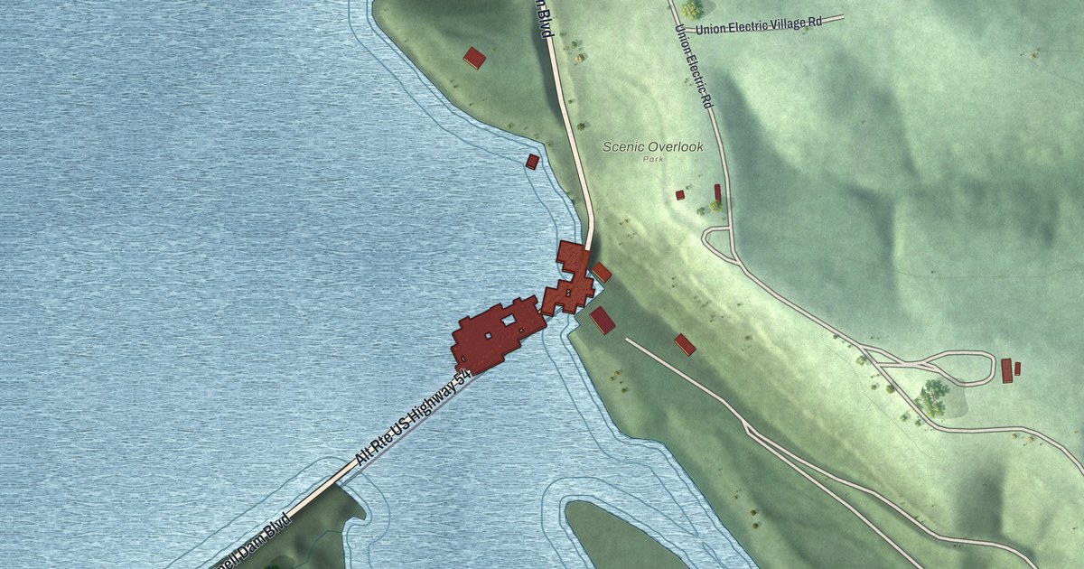
If you've driven Bagnell Dam Boulevard across the water at Lakeside, this map puts that crossing on your wall. It's a modern aerial view of Lakeside in Miller County, Missouri, made from modern data with a vintage look. A wide lake fills the upper left of the sheet. Below the crossing, a narrow channel runs south around a long island. Shaded green hills rise on both sides, and about 140 buildings are drawn in red.
Bagnell Dam Boulevard and the Scenic Overlook
On this map you'll find Bagnell Dam Boulevard, Scenic Overlook, Union Electric Road, Union Electric Village Road, Alt Rte US Highway 54, River Road, Upper Power Plant Road, and more. Each red shape is a building, so zoom in on the preview and look for yours.
Lakeside's Union Electric building on the National Register
The Union Electric Administration Building in Lakeside was added to the National Register of Historic Places in April 1998. Lakeside is a city in Miller County. Union Electric Road and Union Electric Village Road carry that same Union Electric name on this map.
For someone who's crossed on Bagnell Dam Boulevard
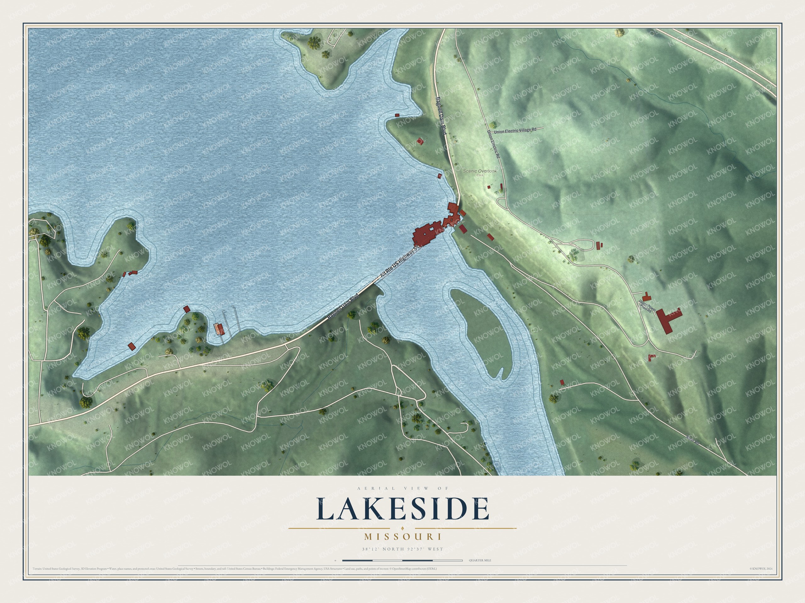
Created by KNOWOL in 2026, this map of Lakeside suits a lake house, a den or an office. The shaded hills come from USGS elevation data, and the water is drawn in soft blue. The title panel reads "Aerial View of Lakeside, Missouri," with the coordinates 38°12' North 92°37' West and a quarter-mile scale bar.
It's a thoughtful gift for anyone who's stopped at the Scenic Overlook, has family off Union Electric Road, or grew up in Lakeside and moved away. Open the preview, zoom in on the crossing and find the road you know. See sizes and frames for the Lakeside map.