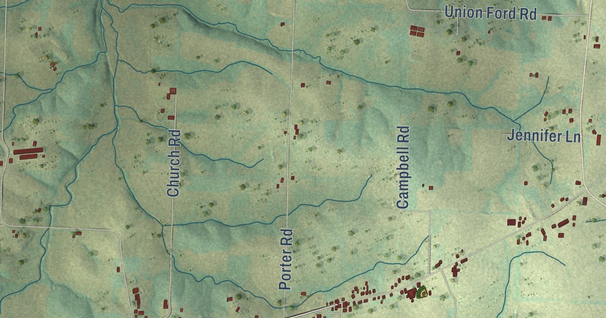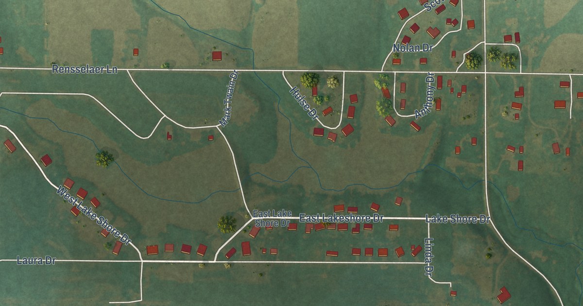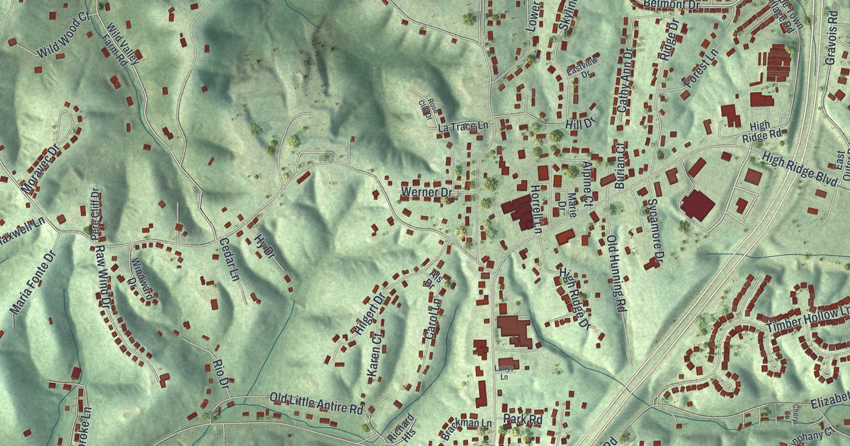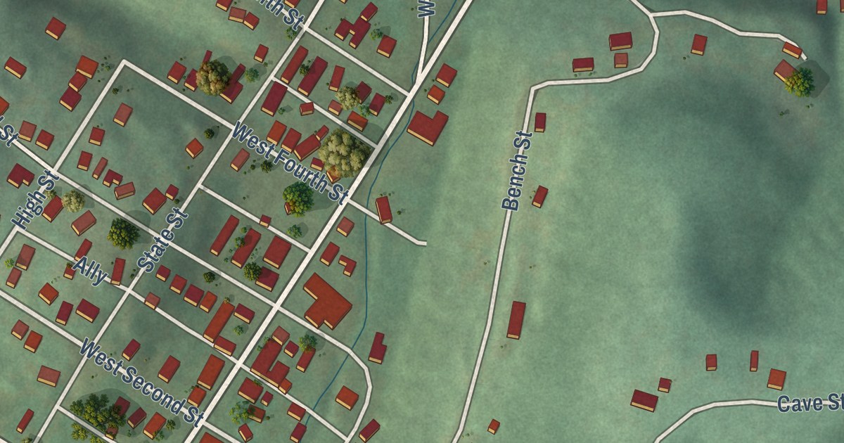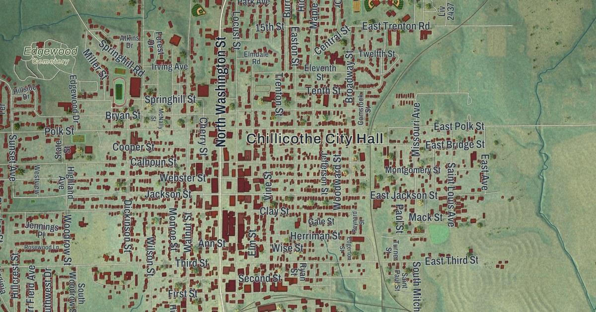
This beautifully detailed map of Chillicothe, Missouri was created in 2026 using aerial imagery combined with modern topographical, census, street and landmark data. It’s a one-of-a-kind view of Chillicothe that combines accurate data with a vintage aesthetic. The map shows every building in its true location, many of the roads carry their names, and the shaded topographic relief shows the shape of the land.
Explore an aerial view of Chillicothe, Missouri
On the map you’ll find Chillicothe City Hall, Daryl Danner Memorial Park, Edgewood Cemetery, and Simpson Park, along with North Washington Street, South Washington Street, Highway 36, West Bus Highway 36, Highway 65, North Fair Street, Oaklawn Drive, Jackson Street, and more. If you look closely you can even find your house accurately drawn in its correct location. Zoom in on the preview to look for yours.
Did you know this piece of Chillicothe, Missouri history?
The Chillicothe Baking Company started selling presliced loaves on July 7, 1928. It was the first time anyone in the world sold sliced bread commercially. The bakery used a slicing machine built by Iowa inventor Otto Frederick Rohwedder. The city calls itself the Home of Sliced Bread.
Take a closer look at the Chillicothe map
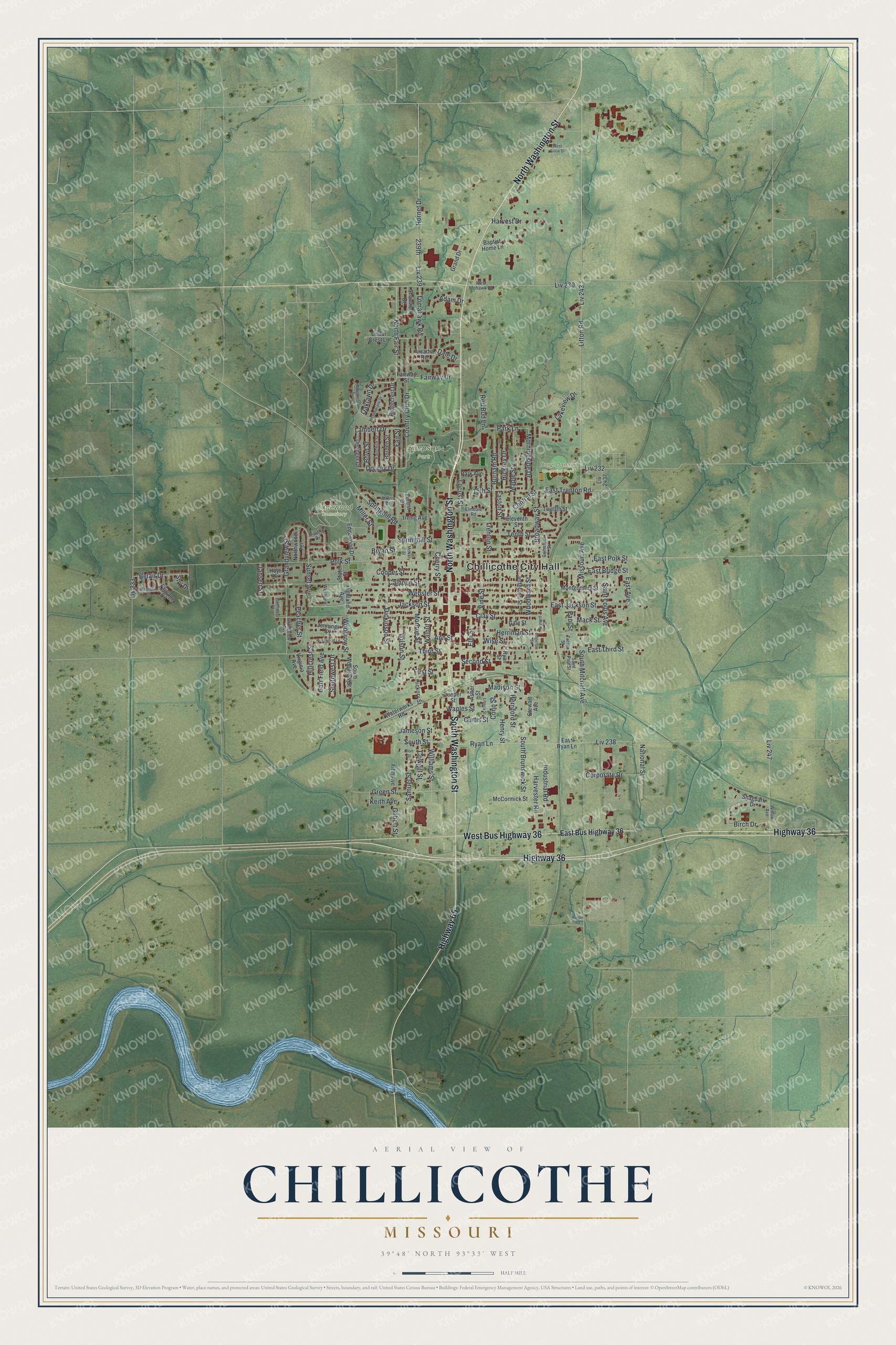
Street and place names on the Chillicothe, Missouri map
These names are printed on the map of Chillicothe, Missouri.
Places: Chillicothe City Hall, Daryl Danner Memorial Park, Edgewood Cemetery and Simpson Park.
Streets and roads: North Washington Street, South Washington Street, Highway 36, West Bus Highway 36, Highway 65, North Fair Street, Oaklawn Drive, Jackson Street, Central Street, Third Street, Samuel Street, Ryan Lane.
More street names, A to Z
15th Street, 239th, Adam Drive, Ann Street, Arcadia Road, Asher Street, Atkins Drive, Baptist Home Lane, Belair Drive, Birch Drive, Boehner Place, Borden Street, Boyd Street, Broadway Street, Bryan Street, Burnam Road, Calhoun Street, Cedar Crest Lane, Cherry Street, Clay Street, Comstock Street, Conn Street, Cooper Street, Corporate Drive, Country Club Drive, Cowgill Street, Curtis Street, Dale Drive, Deringer Drive, Dickinson Street, Dorney Drive, East Avenue, East Bridge Street, East Bus Highway 36, East Jackson Street, Easton Street, East Polk Street, East Ryan Lane, East Third Street, East Trenton Road, Edgerton Street, Edgewood Drive, Eleventh Street, Elmdale Road, Elm Street, Fairchild Street, Fairlane Drive, Fair Street, Fairway Drive, Fairway Street, Fifth Avenue, First Street, Forest Drive, Gale Street, Garr Field Avenue, Gilbert Street, Grand Drive, Grandview Avenue, Grandview Street, Green Street, Harvest Drive, Harvester Road, Henry Street, Herriford Street, Herriman Street, Hickory Drive, Hickory Street, Highland Avenue, Hillcrest Street, Hillside Drive, Hornet Drive, Hoyt Drive, Hunter Road, Industrial Road, Irving Avenue, Jameson Street, Jansen Street, Jefferson Street, Jennings Place, Keith Avenue, Lakeview Drive, Lambert Drive, Leeper Street, Liberia Street, Litton Road, Liv 230, Liv 232, Liv 233, Liv 238, Liv 239, Liv 243, Liv 247, Liv 2437, Locust Street, Mack Street, Madison Street, Magnolia Street, Maple Street, McCormick Street, McNally Street, Meadowlane Drive, Miller Street, Missouri Avenue, Monroe Street, Montgomery Street, Morningside Drive, National Street, Northwood Terrace, Olive Street, Park Avenue, Park Lane, Paul Street, Peacher Street, Polk Street, Red Bud Lane, Reynard Street, Ridgecrest Drive, Rosewood Lane, Ryan Street, Saint Louis Avenue, Saint Paul Street, Second Street, Shagbark Drive, Shawnee Drive, Shy Drive, South Brunswick Street, South Mitchell Avenue, South Street, Southwest Drive, South Woodrow Street, Springhill Road, Springhill Street, State Street, Stewart Avenue, Sunset Avenue, Tenth Street, Tomahawk Road, Trenton Street, Turner Street, Twelfth Street, Vine Street, Virginia Avenue, Walnut Street, Waples Street, Waterworks Road, Webster Street, West Mohawk Road, West Sioux Drive, Westview, Williams Street, Willow Avenue, Wilson Street, Wise Street, Woodcrest Drive, Woodrow Street, Woodward Street.
See the Chillicothe, Missouri map on a wall
The Chillicothe map as an 18 x 24 inch print in a black frame.

This beautifully detailed map of Chillicothe makes an attractive addition to your office, library, or den, and it can even be used to teach children the geography and history of the area. It also makes a great gift for anyone with Chillicothe roots. When you’re done exploring, click here to get your copy of the Chillicothe map.