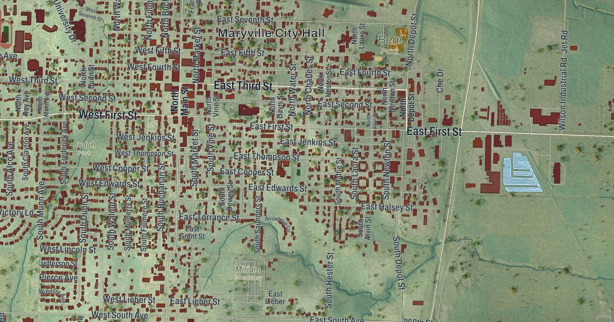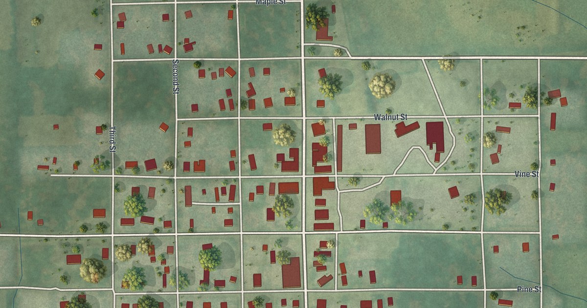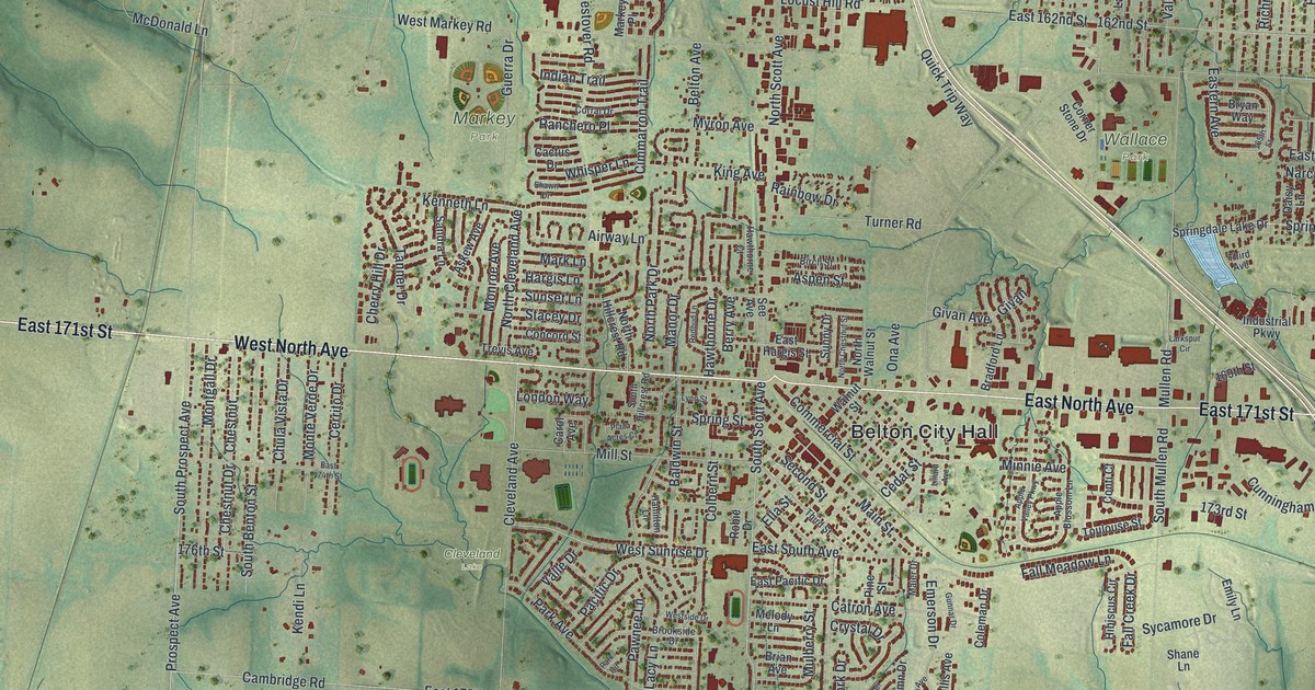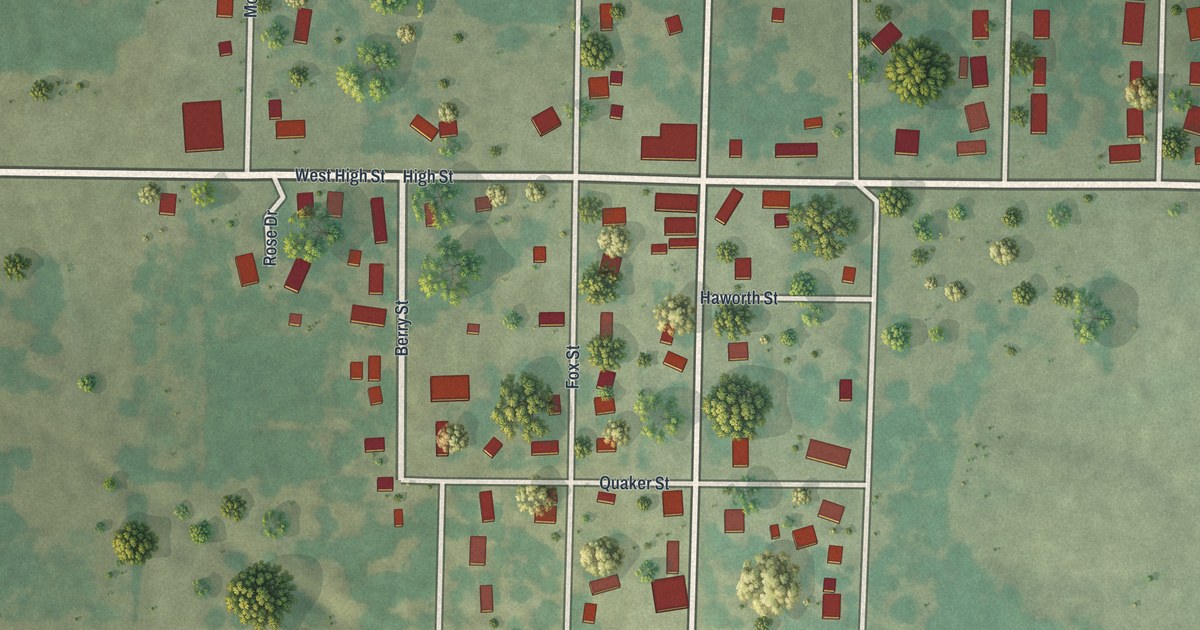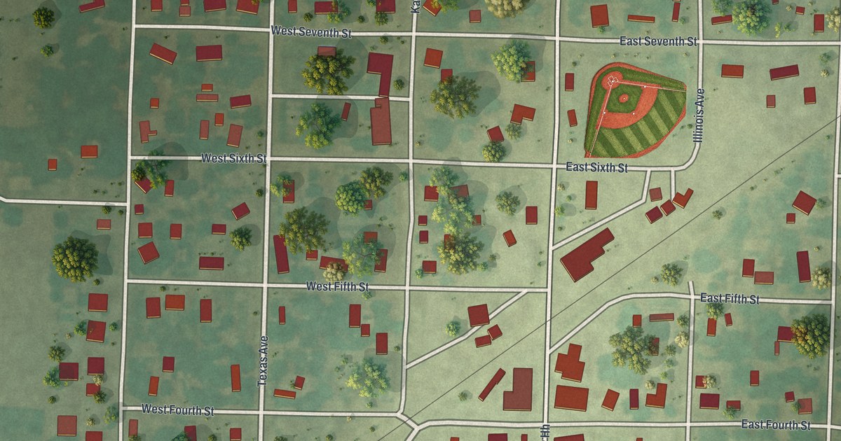
If you grew up in Montrose, or still have family on the streets around Missouri Avenue, this map gives you plenty to find. It's a modern aerial view of Montrose in Henry County, Missouri, made from modern data and given a warm, vintage look. The town sits in the middle of the sheet as a neat grid. Numbered streets run east and west, and avenues named for states run north and south. Buildings across town are drawn in deep red, with farm fields, tree rows and soft green hills all around.
Missouri Avenue, East Second Street and the numbered streets
On this map you'll find Missouri Ave, East Second St, West Second St, California Ave, Texas Ave, Kansas Ave, Illinois Ave, East Third St, East Sixth St, East Ninth St, Southwest Highway Hh, Walnut St, and more. Each red shape is a building, so zoom in on the preview and look for yours.
The National Register lists the C. M. and Vina Clark House at 704 California Ave.
Why Germantown's businesses moved to Montrose
Montrose was platted in 1870 by Brad Robinson for the railroad company. That comes from the 1919 History of Henry County, Missouri. Robinson was the first person to live here, and he built the first house. The land had belonged to Joseph Patton and D. C. Cross. Four miles away, the older town of Germantown had seemed to have a bright future. Then the railroad came through Montrose instead. The business houses of Germantown soon followed Robinson here. Montrose became the business center for the southwest part of the county.
Germantown also had the Stone Chapel, organized by the Cumberland Presbyterian Church in 1866. It took the name Camp Branch in 1869, and in 1871 it became the Montrose Cumberland Presbyterian Church. The same book says Montrose later had a sidewalk boom. On the map, look for the thin rail line that cuts across the grid on a slant, from the lower left up toward the upper right. Some of the biggest red buildings in town sit close beside it.
A Montrose map for someone who knows Second Street
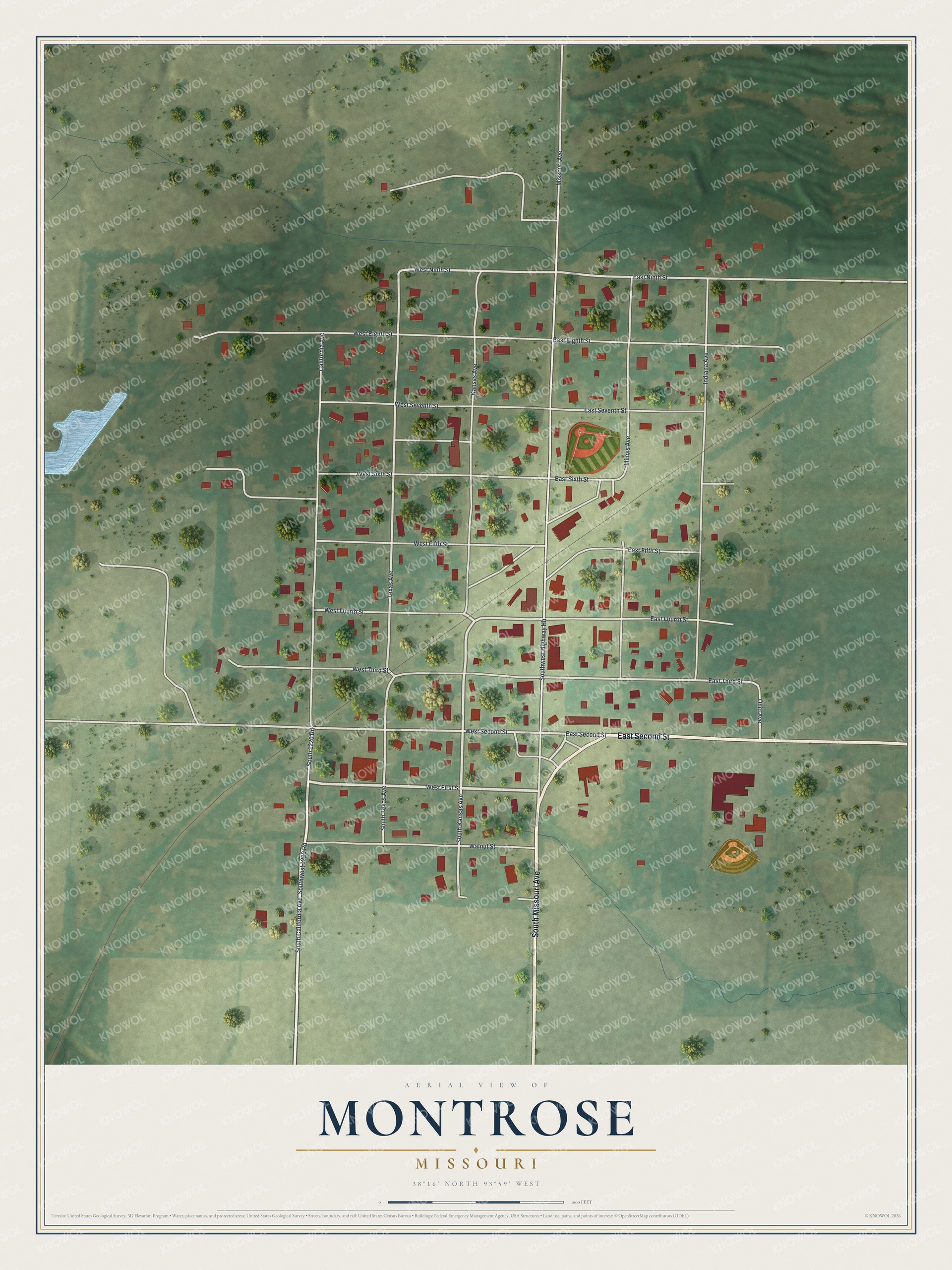
Created by KNOWOL in 2026, this map of Montrose shows the town's grid on soft green ground, with the buildings in deep red and a small blue pond out on the west side. The shaded hills come from USGS elevation data. The title panel reads "Aerial View of Montrose, Missouri" with the coordinates 38°16' North, 93°59' West and a scale bar.
It suits a kitchen, a den or a front hall. It's a good gift for someone who grew up near Missouri Avenue and the ball diamond by East Sixth St, or who has moved away and still has family in Montrose. Open the preview, zoom in and find the block you know. See sizes and frames for the Montrose map.