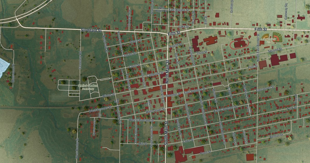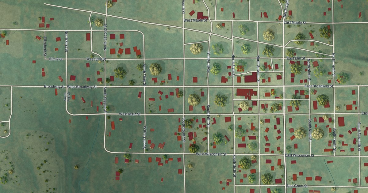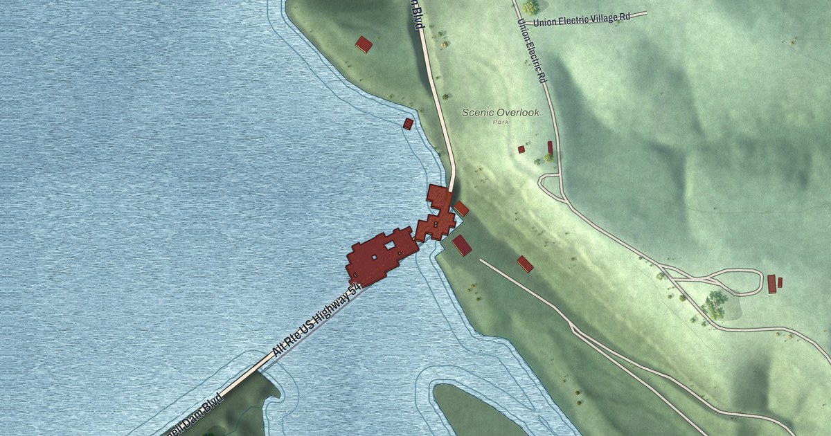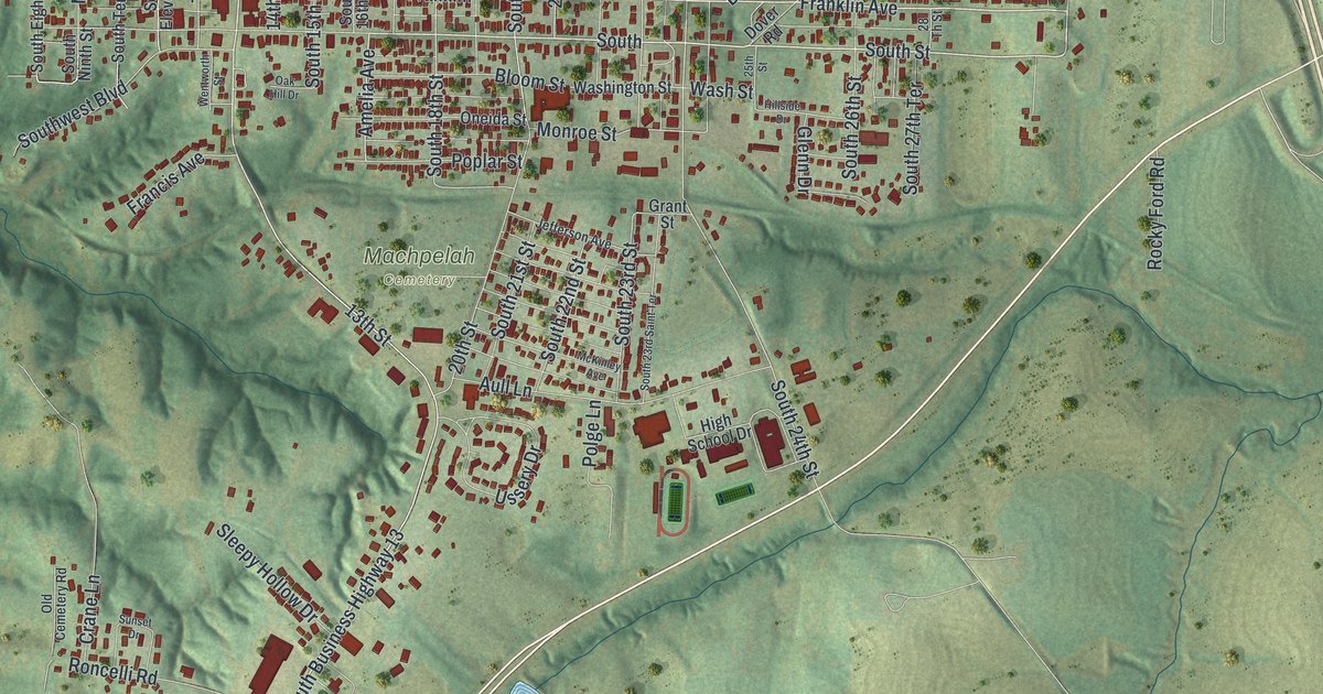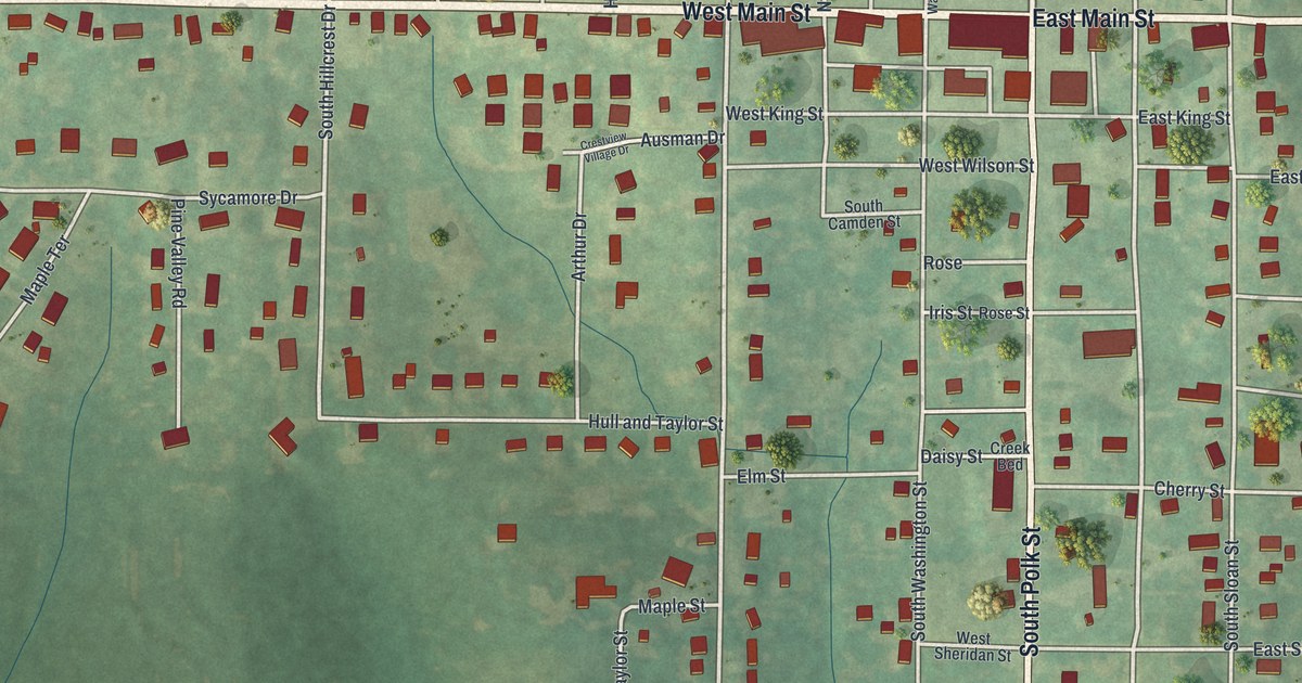
If you grew up in Maysville, or you've ever had business at the county courthouse on West Main Street, you'll find your way around this map fast. It shows Maysville in DeKalb County, Missouri as a modern aerial view, made from modern data with a vintage feel. West Main Street and East Main Street cross the sheet in one straight line. South Polk Street runs down through the middle of town. More than 570 buildings are drawn in red on soft green hills, and thin creeks wind through the fields around them.
West Main Street, South Polk Street and Oak Lawn Cemetery
On this map you'll find West Main Street, East Main Street, South Polk Street, North Polk Street, Oak Lawn Cemetery, West Jackson Street, East Jackson Street, Atchison Street, Cherry Street, East Sheridan Street, Railroad Street, North Hillcrest Drive, Meadow Lane Drive, and more. Each red shape is a building, so zoom in on the preview and look for yours.
DeKalb County's first court and the courthouse on West Main Street
DeKalb County's first circuit court met on August 27, 1845. It didn't have a courthouse of its own. The court met in John Buckingham's log house, about one and three-quarter miles southeast of Maysville. An 1888 county history calls that house the first courthouse, though it suggests the term's too grand for the log home. The same book tells of a lawyer named Shambaugh, one of the first lawyers to live in the county. He came from Virginia. He moved to Maysville when it was "but a niche in the surrounding forest." Today the DeKalb County Courthouse stands at 109 West Main Street. It was added to the National Register of Historic Places in 1998. West Main Street is printed on this map.
Maysville, from Oak Lawn Cemetery to Railroad Street
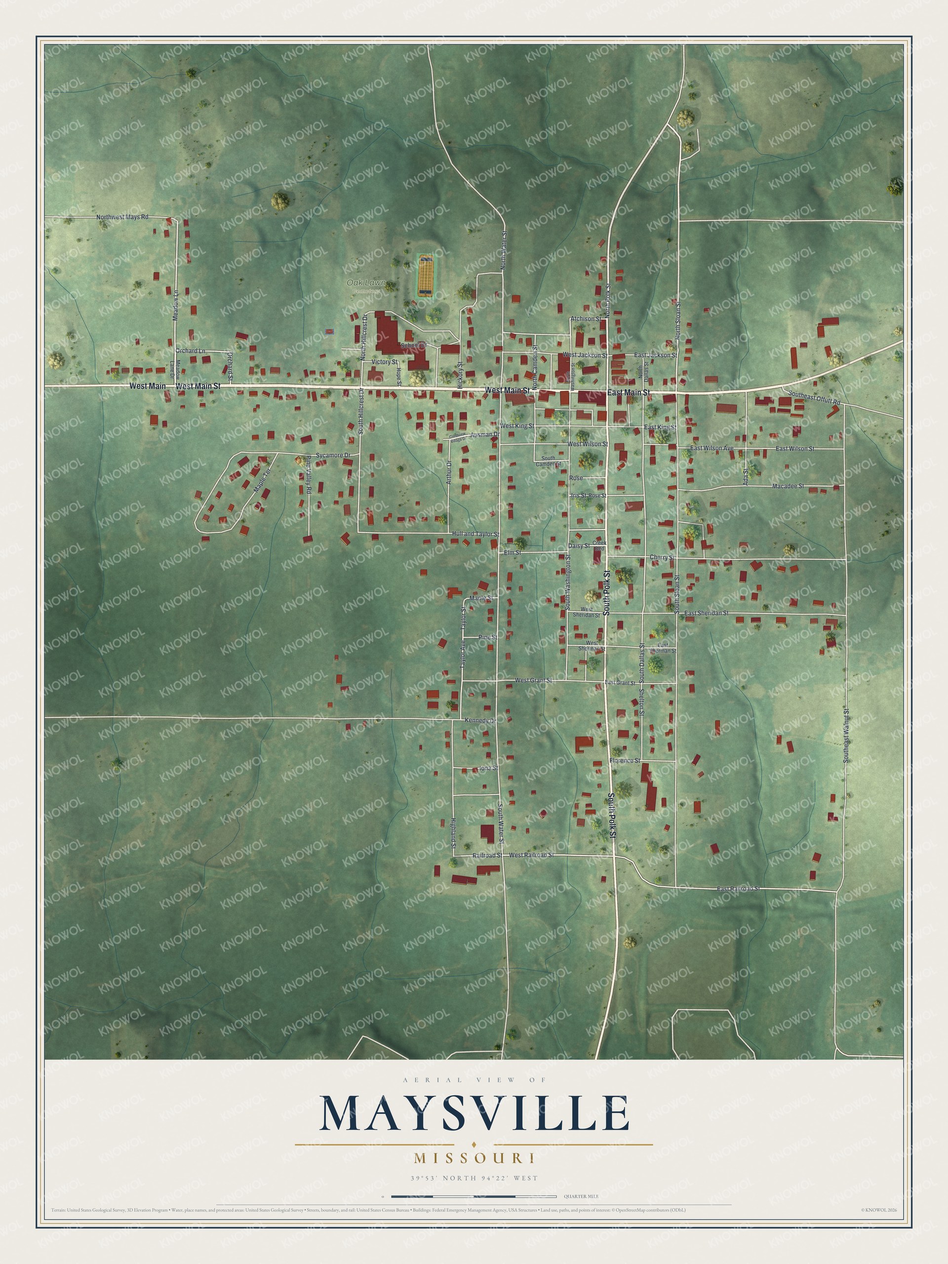
Created by KNOWOL in 2026, this Maysville map shows red buildings and pale roads over rolling green land, with trees scattered through the fields. The shading shows the hills around Maysville. The title panel reads "Aerial View of Maysville, Missouri" with 39°53' North and 94°22' West.
It fits an office, a kitchen or a front hall. It's a good gift for someone who worked at the courthouse on West Main Street, or for anyone who grew up in Maysville and moved away. Open the preview and look for your own street near the corner of Main and Polk. See sizes and frames for the Maysville map.