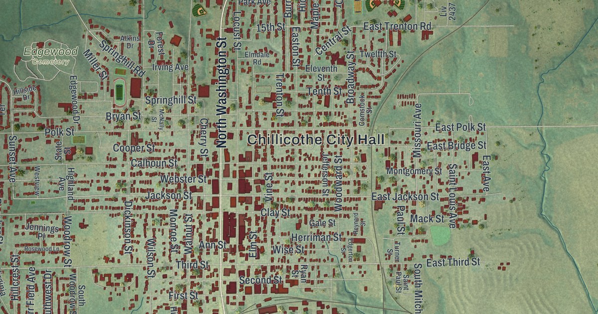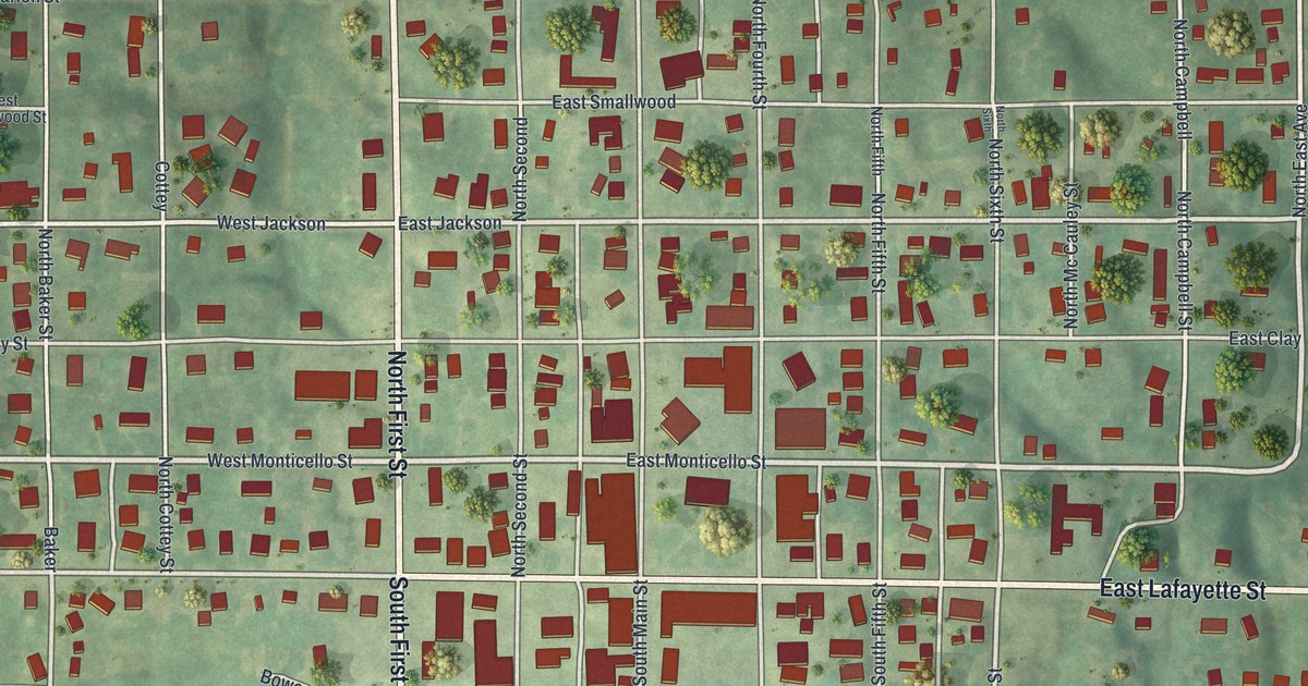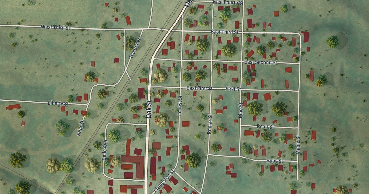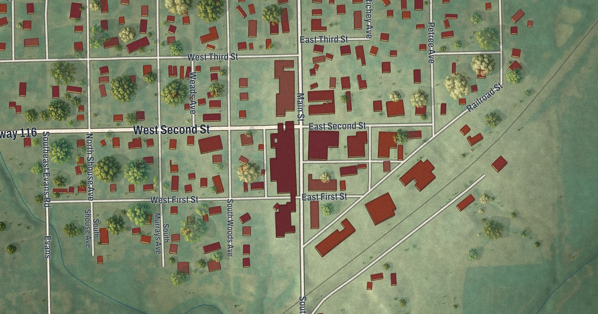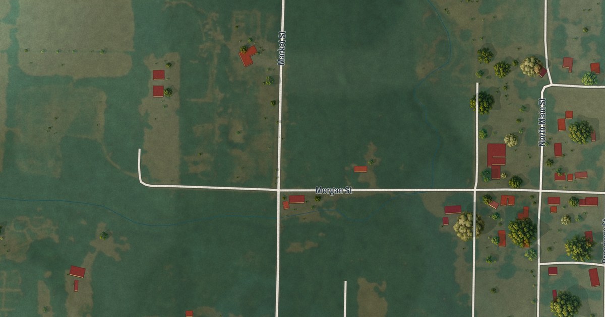
If you grew up in Newtonia, or your family still lives along Mill Street or Spring Street, you'll find a lot to recognize here. It's a modern aerial view of Newtonia in Newton County, Missouri, made from modern data with a vintage artistic feel. The town's streets and houses gather on the right side of the sheet, with each building marked in red. Farm fields in soft green and tan fill the rest, cut by long, straight country roads.
Mill Street, Market Street and Spring Street
On this map you'll find Mill Street, Market Street, Spring Street, Main Street, Broadway Street, Morgan Street, Elm Street, Mize Street, Sycamore Street, Olive Street, College Street, Teal Drive, State Highway Ee, Starling Road, Kirby Lane, and more. Each red shape is a building, so zoom in on the preview and look for yours.
How Mathew Ritchey started Newtonia
Mathew H. Ritchey started Newtonia in the early 1850s. He was a well-known Newton County man and a firm Unionist. He built the town where three important roads met. They led to Granby, Neosho and Sarcoxie, and Granby had lead mines. Ritchey lived in a two-story stone house. Across the road stood his three-story stone barn. Stone fences wrapped around both.
In the Civil War, that made a village of about a hundred people worth fighting for. The Missouri Encyclopedia says both sides wanted it for its location, its mill and its stone buildings. On September 30, 1862, Union troops drove the Southern guards back into town. That started the First Battle of Newtonia. The defenders took cover behind the stone fences and inside the stone barn. Two years later, a second battle was fought just outside town. The National Register lists the Ritchey house on Mill Street, the road that crosses the middle of this map.
For someone who knows Mill Street in Newtonia
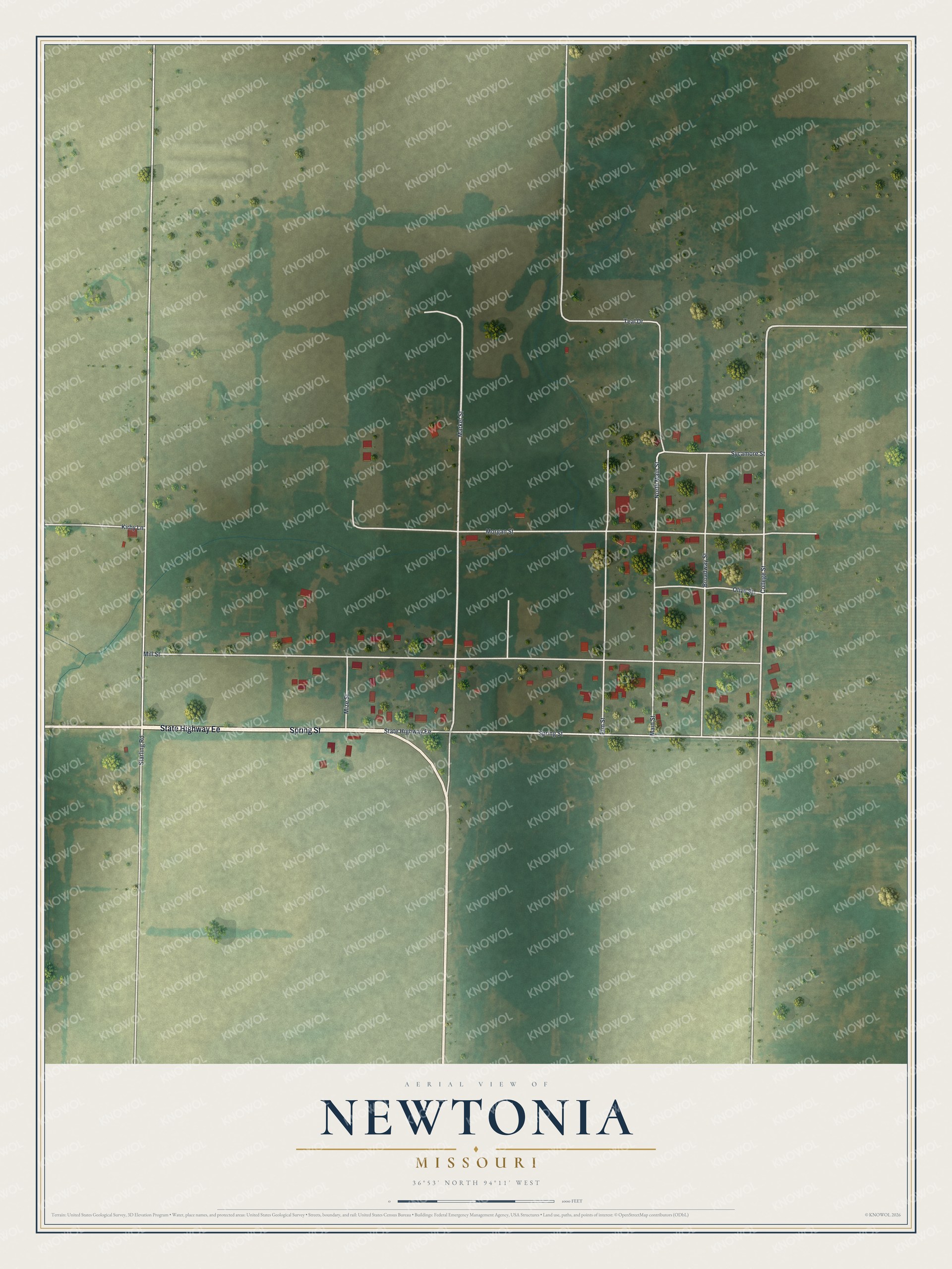
Created by KNOWOL in 2026, this map shows Newtonia's streets and buildings over shaded ground from USGS elevation data. The fields fade from green to warm tan, and the roads are drawn as thin white lines. The title panel reads "Aerial View of Newtonia, Missouri" with the coordinates 36°53' North, 94°11' West.
It fits an office, a den or a farmhouse kitchen. It's a thoughtful gift for someone who grew up near Mill Street, or for a family with Newton County roots who moved away. The First Battle of Newtonia gives you a story to share with this map. Open the preview, zoom in and find the streets you know. See sizes and frames for the Newtonia map.