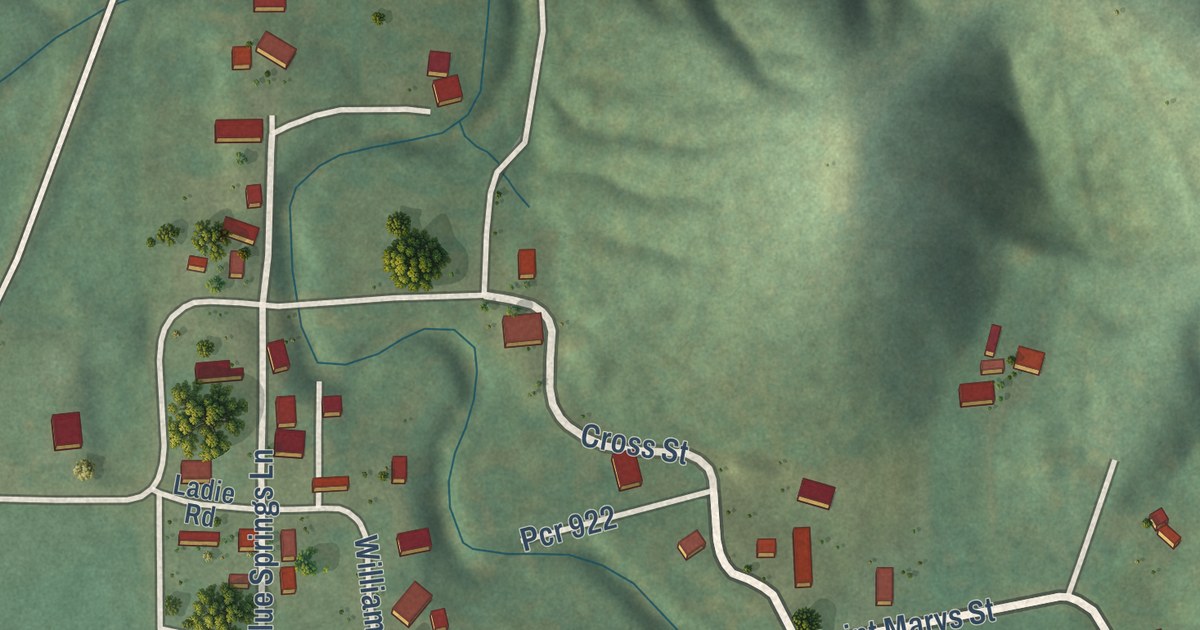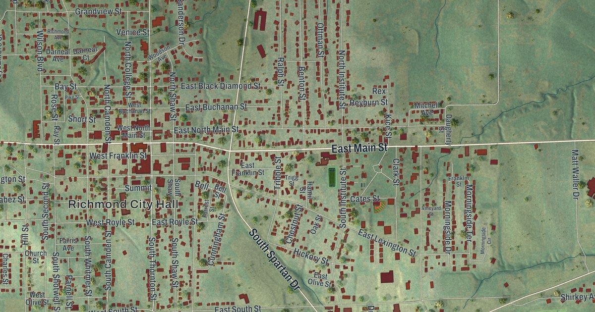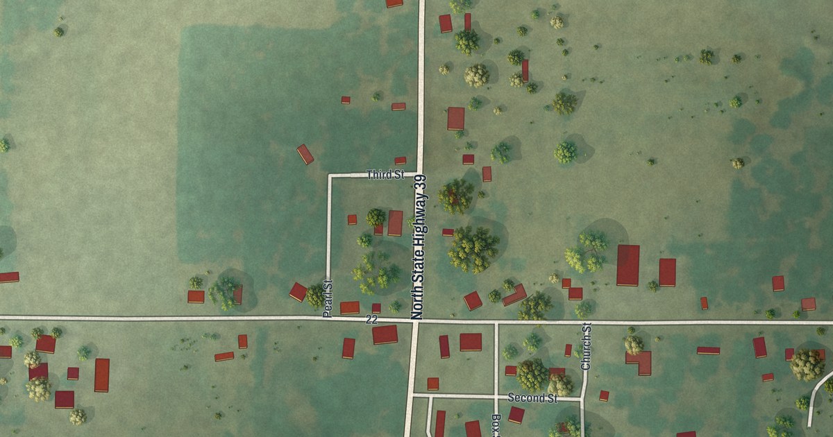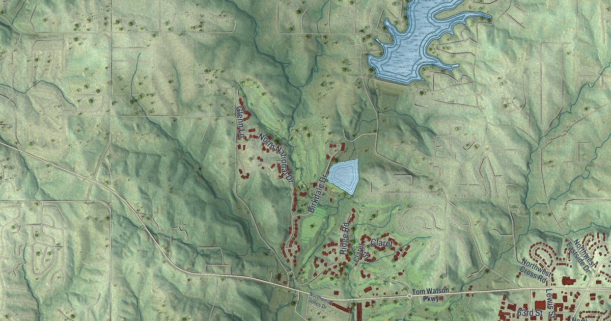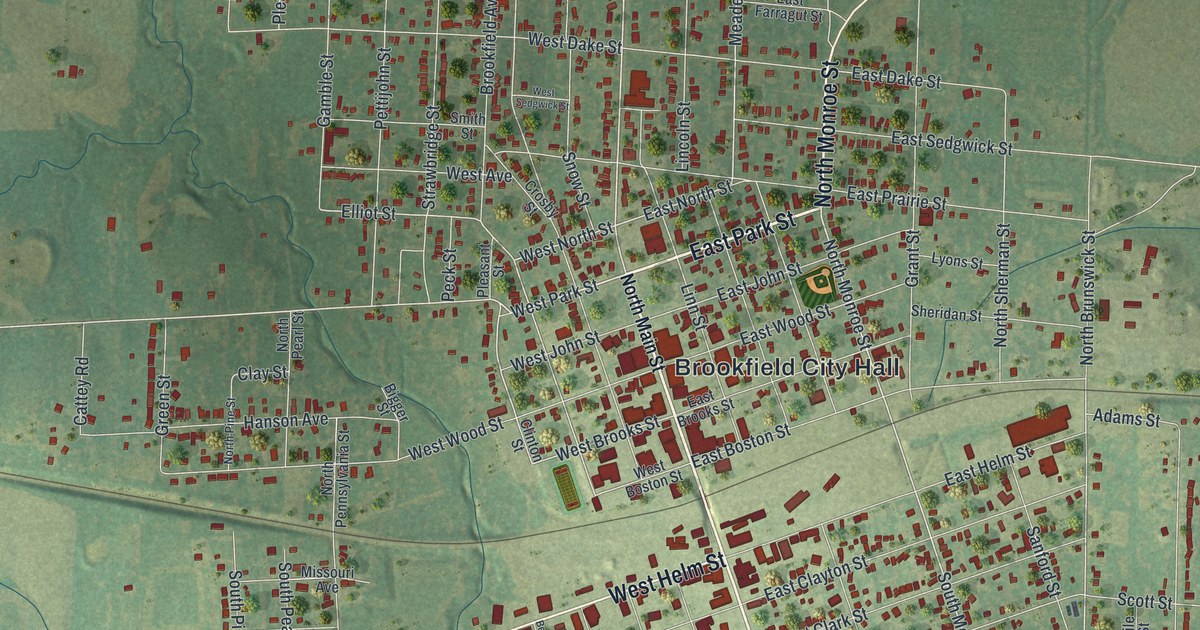
This beautifully detailed map of Brookfield, Missouri was created in 2026 using aerial imagery combined with modern topographical, census, street and landmark data. It’s a one-of-a-kind view of Brookfield that combines accurate data with a vintage aesthetic. The map shows every building in its true location, many of the roads carry their names, and the shaded topographic relief shows the shape of the land.
Explore an aerial view of Brookfield, Missouri
On the map you’ll find Brookfield City Hall and Rosehill Cemetery, along with East Park Street, South Main Street, North Monroe Street, West Helm Street, West Park Street, Park Circle Drive, Forrest Street, North Main Street, South Monroe Street, West North Street, and more. If you look closely you can even find your house accurately drawn in its correct location. Zoom in on the preview to look for yours.
Did you know this piece of Brookfield, Missouri history?
Boston native John Wood Brooks surveyed Brookfield in 1859. Four streets still carry his memory: John, Wood, Brooks and Boston. The town grew on the first railroad across Missouri, finished that same year. Passenger trains served Brookfield for over a century. The last daytime train came through in 1968, when the Kansas City Zephyr ended.
Take a closer look at the Brookfield map
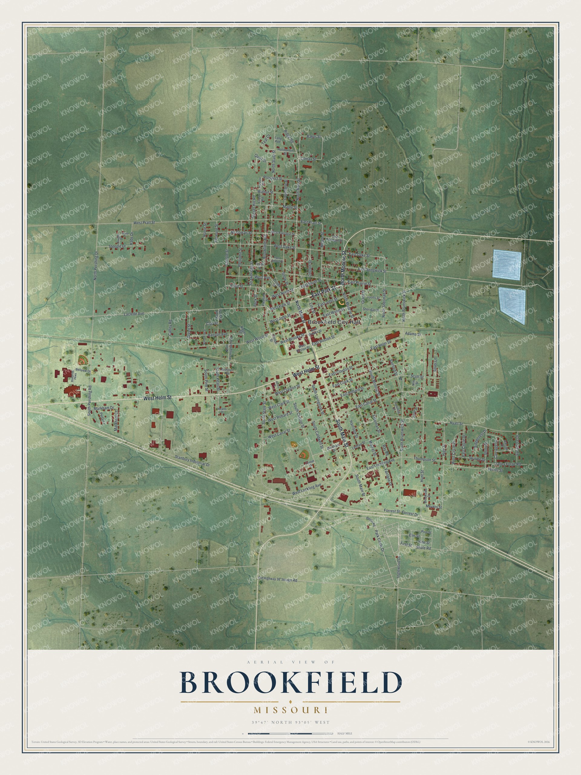
Street and place names on the Brookfield, Missouri map
These names are printed on the map of Brookfield, Missouri.
Places: Brookfield City Hall and Rosehill Cemetery.
Streets and roads: East Park Street, South Main Street, North Monroe Street, West Helm Street, West Park Street, Park Circle Drive, Forrest Street, North Main Street, South Monroe Street, West North Street, East North Street, Meade Street.
More street names, A to Z
Adams Street, Baker Street, Belview Drive, Beverly Street, Bigger Street, Bluepride Parkway, Brookfield Avenue, Brookfield Boulevard, Brookside Court, Burnham Street, Carriage Drive, Cattey Road, Center Drive, Clay Street, Clinton Street, Colonial Court, Courtland Street, Crest Road, Crosby Street, Douglas Drive, East Boston Street, East Brooks Street, East Canal Street, East Circle Drive, East Clark Street, East Clayton Street, East Dake Street, East Farragut Street, East Helm Street, East John Street, East Lockling Avenue, East Prairie Street, East Pratt Street, East Robard Street, East Sedgwick Street, East Wood Street, Elliot Street, Elm Street, Fairlane Drive, First Street, Forrest Drive, Freeman Street, Gamble Street, Grant Street, Green Street, Hade Drive, Halliburton Street, Hanson Avenue, Harrison Street, High Street, Hillside Drive, Hilltop Drive, Home Street, Hunt Street, Hyatt Street, Iberia Road, Image Road, Inglewood Drive, Joyce Place, Laclede Avenue, Lang Avenue, Lenhart Street, Lincoln Street, Linn Street, Lomax Street, Lyons Street, Maple Street, Market Street, Markham Court, Markham Drive, McGowan Street, Meyers Street, Missouri Avenue, Nile Street, North Brunswick Street, North Pearl Street, North Pennsylvania Street, North Pershing Drive, North Pine Street, North Sherman Street, North State Street, Old Highway 36, Peck Street, Percy Lane, Pettijohn Street, Pine Street, Pleasant Street, Pleasure Street, Prospect Street, Quail Drive, Ray Road, Reams Drive, Ridgecrest Drive, Ridge Road, Sanford Street, Scott Street, Shale Road, Sheridan Street, Short Drive, Silver Lane, Skyline Drive, Smith Street, Snow Street, South Brunswick Street, South Caldwell Street, South Clinton Street, South Livingston Street, South Pearl Street, South Pershing Road, South Pine Street, South State Street, Stanbury Industrial Drive, Steeple Drive, Strawbridge Street, Sunset Hill Road, Sycamore Drive, Teal Court, Thompson Street, Valley Forge Road, Vine Street, Walnut Street, Wentz Street, West Avenue, West Boston Street, West Brooks Street, West Canal Street, West Circle Drive, West Clark Street, West Clayton Street, West Dake Street, West Farragut Street, West John Street, West Lockling Avenue, West Pratt Street, West Robard Street, West Sedgwick Street, West Wood Street.
See the Brookfield, Missouri map on a wall
The Brookfield map as an 18 x 24 inch print in a black frame.

This beautifully detailed map of Brookfield makes an attractive addition to your office, library, or den, and it can even be used to teach children the geography and history of the area. It also makes a great gift for anyone who grew up in Brookfield or moved away. When you’re done exploring, click here to get your copy of the Brookfield map.