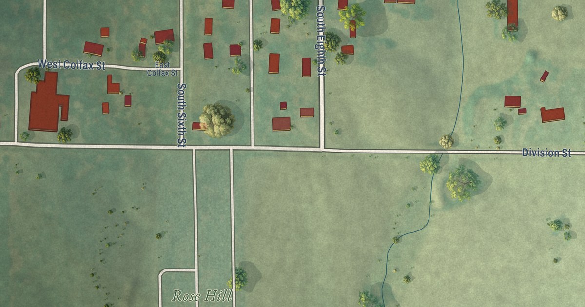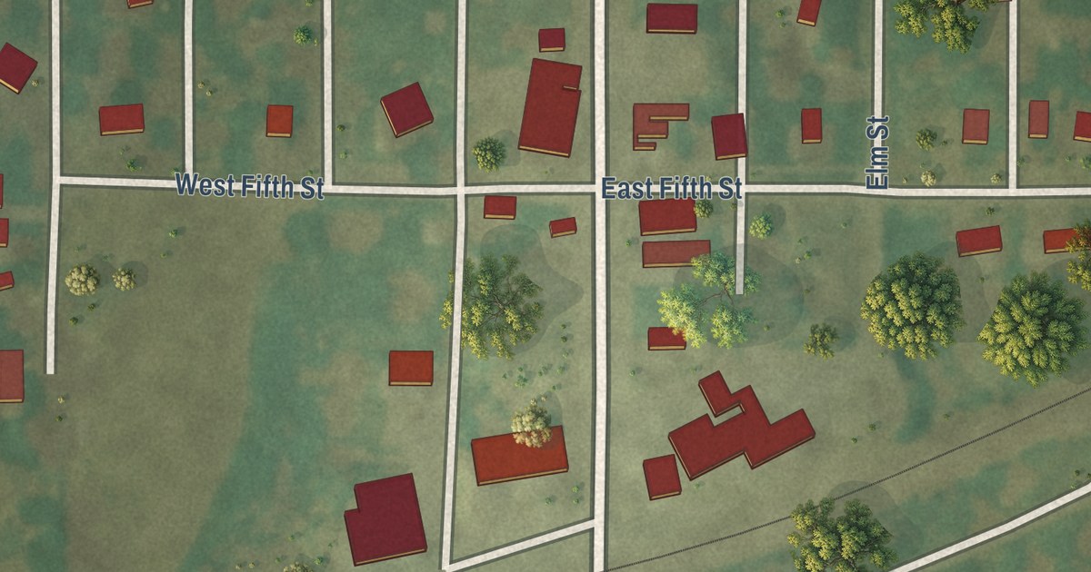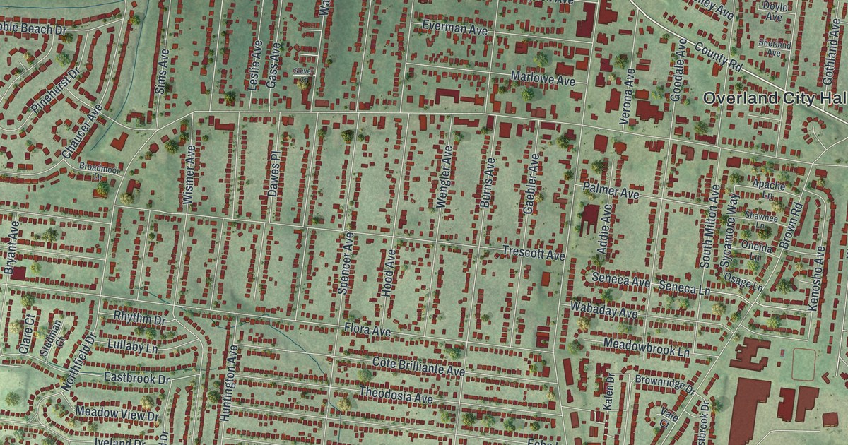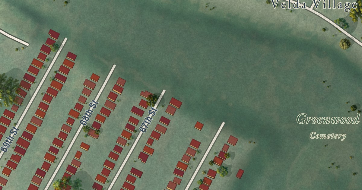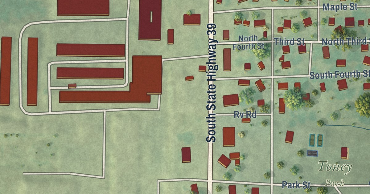
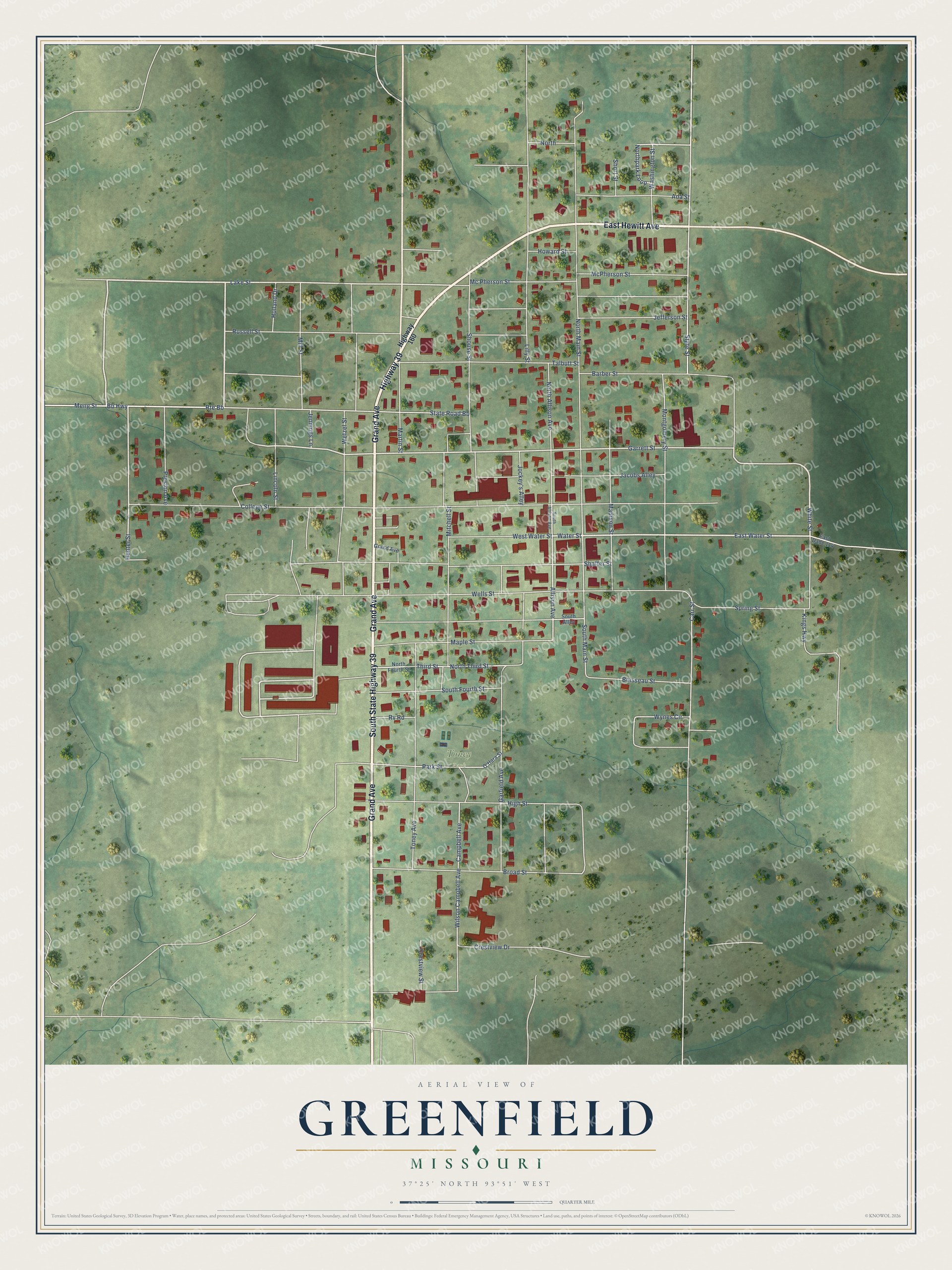
This beautifully detailed map of Greenfield, Missouri was created in 2026 using aerial imagery combined with modern topographical, census, street and landmark data. It’s a one-of-a-kind view of Greenfield that combines accurate data with a vintage aesthetic. The map shows every building in its true location, many of the roads carry their names, and the shaded topographic relief shows the shape of the land.
Explore an aerial view of Greenfield, Missouri
On the map you’ll find Toney Park, Greenfield Cemetary, and Rte Bb, along with Grand Avenue, South State Highway 39, East Hewitt Avenue, Highway 39, East Water Street, Water Street, White Street, Bb Highway, Garrett Street, and more. If you look closely you can even find your house accurately drawn in its correct location. Zoom in on the preview to look for yours.
Did you know this piece of Greenfield, Missouri history?
Founders laid out Greenfield in 1841. They named it for the green growth on the first town site. Its square is lined with 1880s buildings made of bricks from a local brickyard. The Opera House, opened in 1888, is called the Jewel of the Square. It still hosts summer shows by the county theater.
Take a closer look at the Greenfield map
Street and place names on the Greenfield, Missouri map
These names are printed on the map of Greenfield, Missouri.
Places: Toney Park.
Streets and roads: Grand Avenue, South State Highway 39, East Hewitt Avenue, Highway 39, East Water Street, Water Street, Route Bb, White Street, Bb Highway, Garrett Street, Lake Street, Hunter Street.
More street names, A to Z
Ada Street, Allison Avenue, Barber Street, Boisseau Street, Broad Street, Campbell Avenue, Carr Street, College Street, Crestview Drive, Crestview Street, East Dade 114, Garfield Avenue, High Street, Highway 160, Holland Drive, Howard Street, Jacobs Alley, Jefferson Street, Jennings Lane, Jockey's Alley, Kings Highway, Lilly Street, Lincoln Street, Madison Street, Maple Street, Martin Street, Mc Pherson Street, McPherson Street, Meng Street, Mill Street, Mitchell Street, Montgomery Street, North, North Allison Avenue, North Fourth Street, North Main Street, Northpark Loop, North Third Street, O'Hara Street, Park Street, Preston Avenue, Russell Street, Rv Road, Shaffer Street, Short Street, Shouse Street, South Alley, South Allison Avenue, South Fourth Street, South Main Street, Spring Street, State Road Bb, State Street, Talbutt Street, Third Street, Toney Avenue, Washington Street, Wells Street, West Water Street, Wetzel Street, Wilson Campbell Avenue, Wynes Circle.
See the Greenfield, Missouri map on a wall
The Greenfield map as an 18 x 24 inch print in a black frame.

This beautifully detailed map of Greenfield makes an attractive addition to your office, library, or den, and it can even be used to teach children the geography and history of the area. It also makes a great gift for anyone with Greenfield roots. When you’re done exploring, click here to get your copy of the Greenfield map.